All | Little | Shorter | Standard | Longer | Tors | Relics | History | Links | Panoramas | Home
|
||||||||||||||||||||||||||||||||||||||||||||||||||||||||||||||||
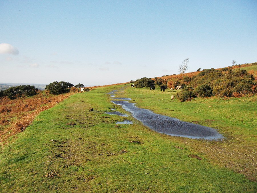
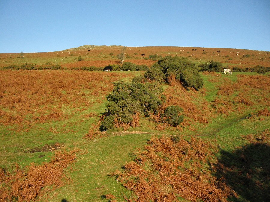
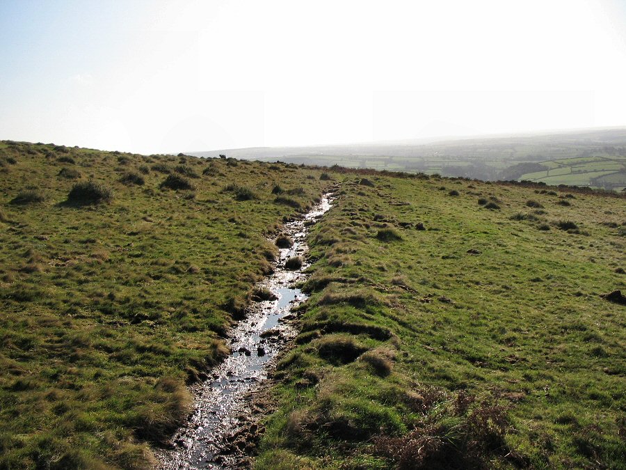
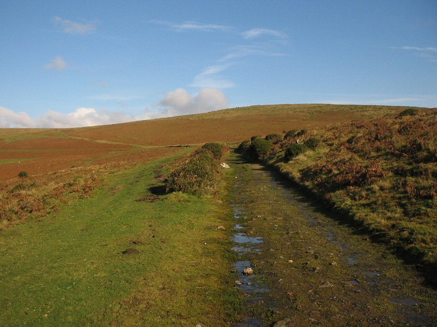
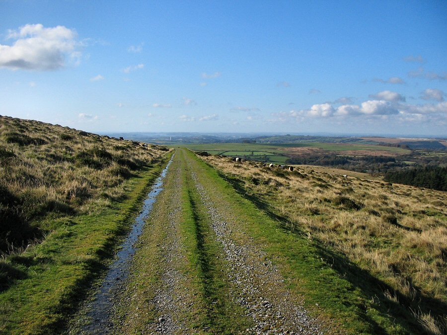
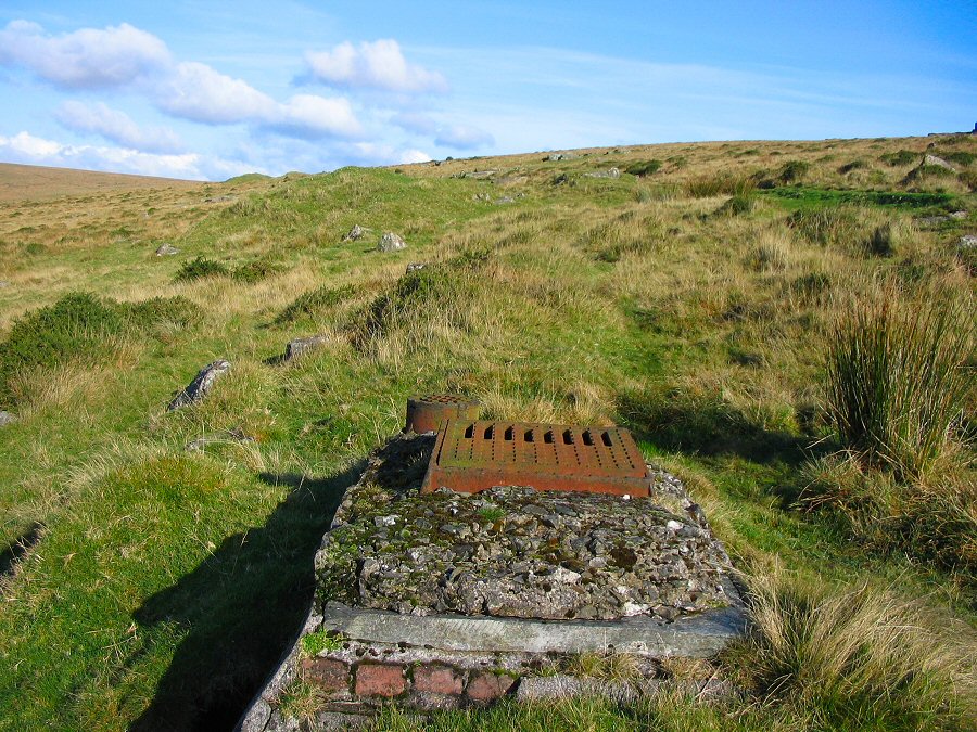
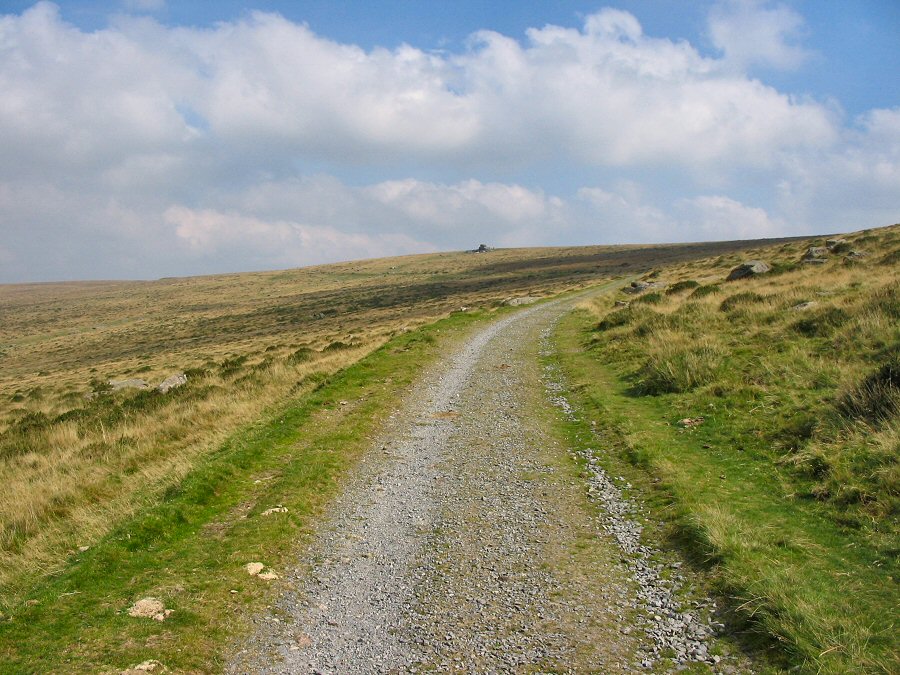
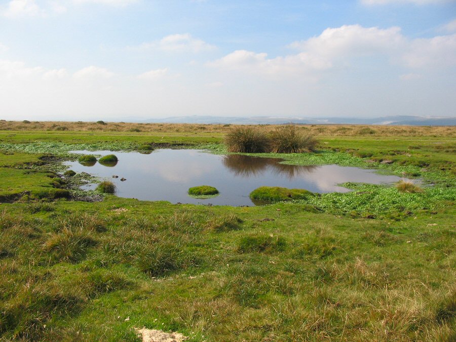
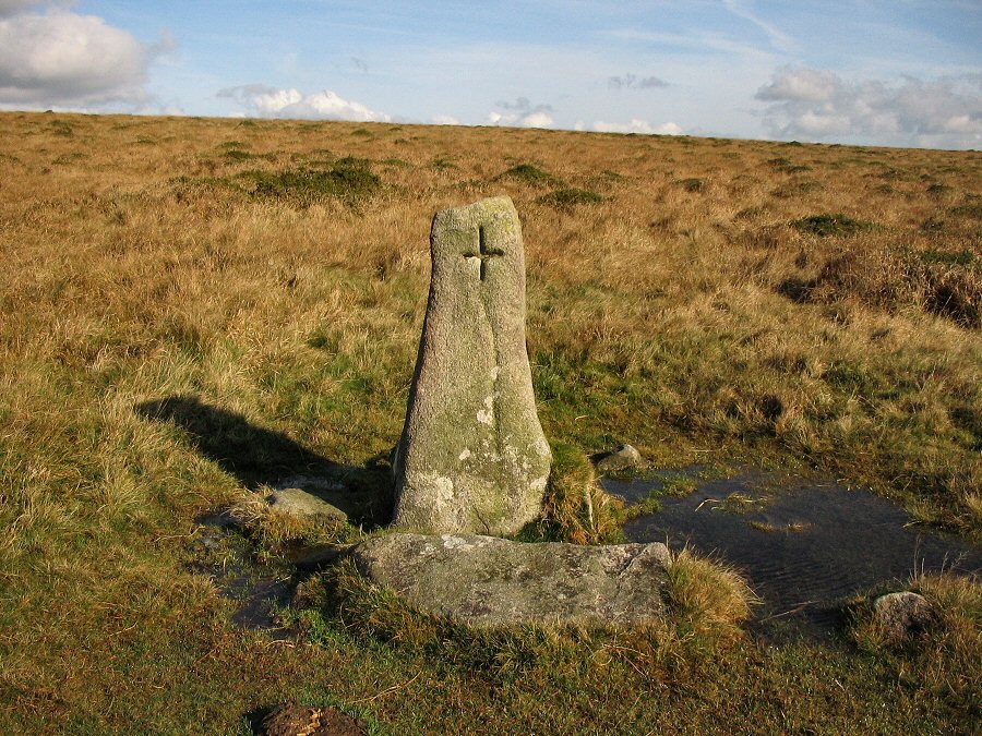
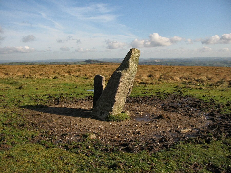
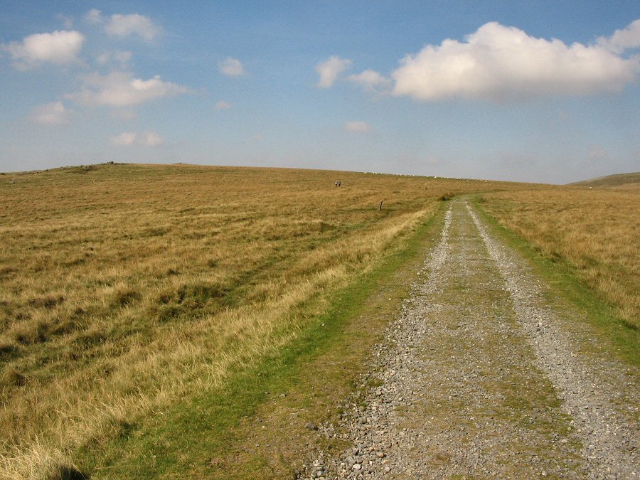
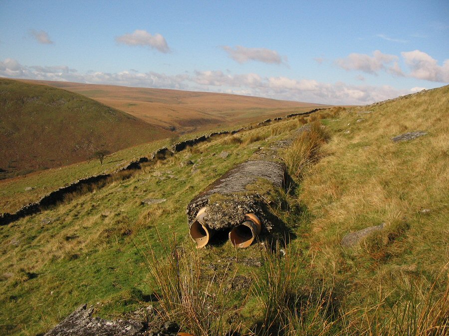
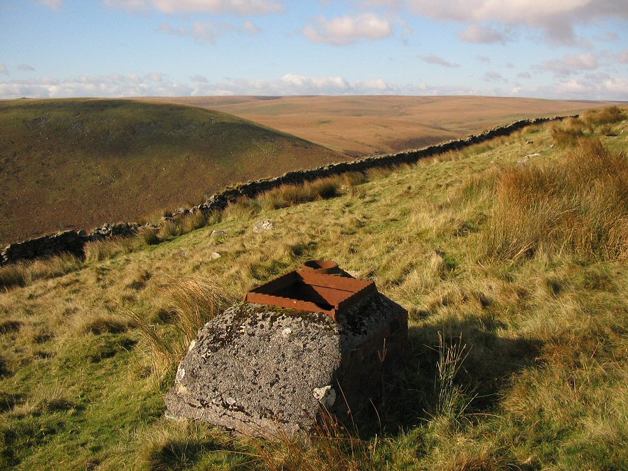
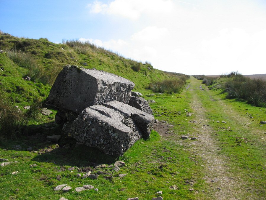
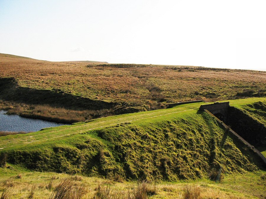
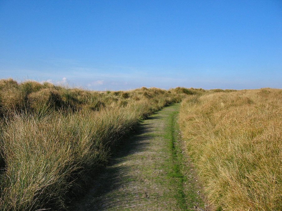
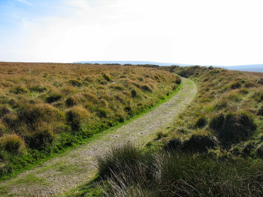
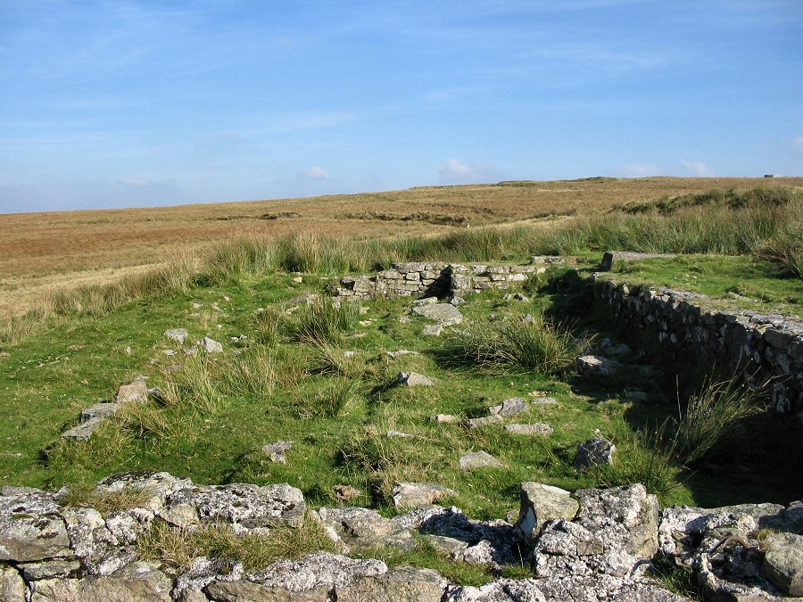
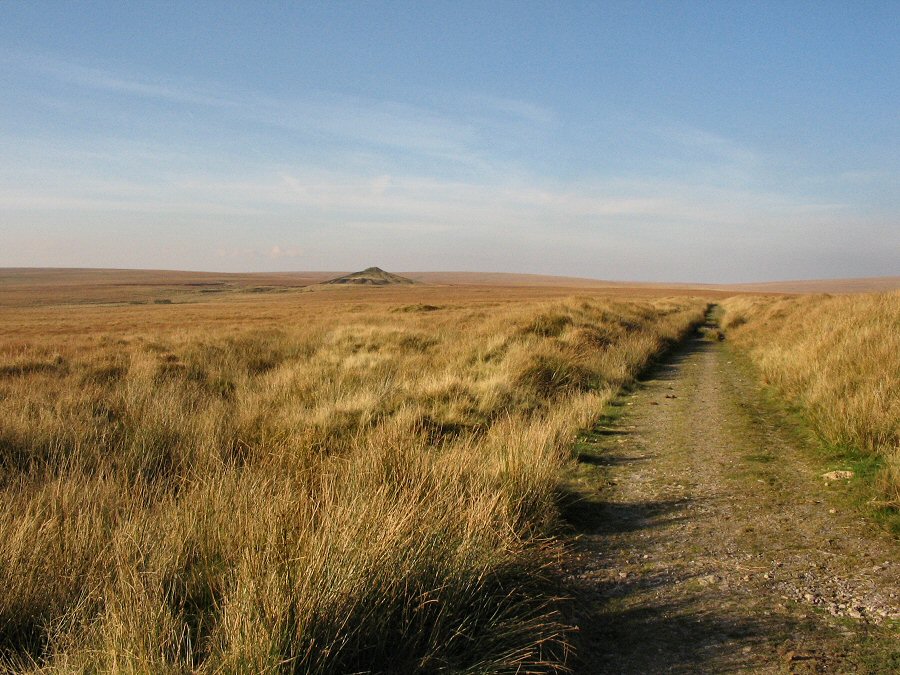
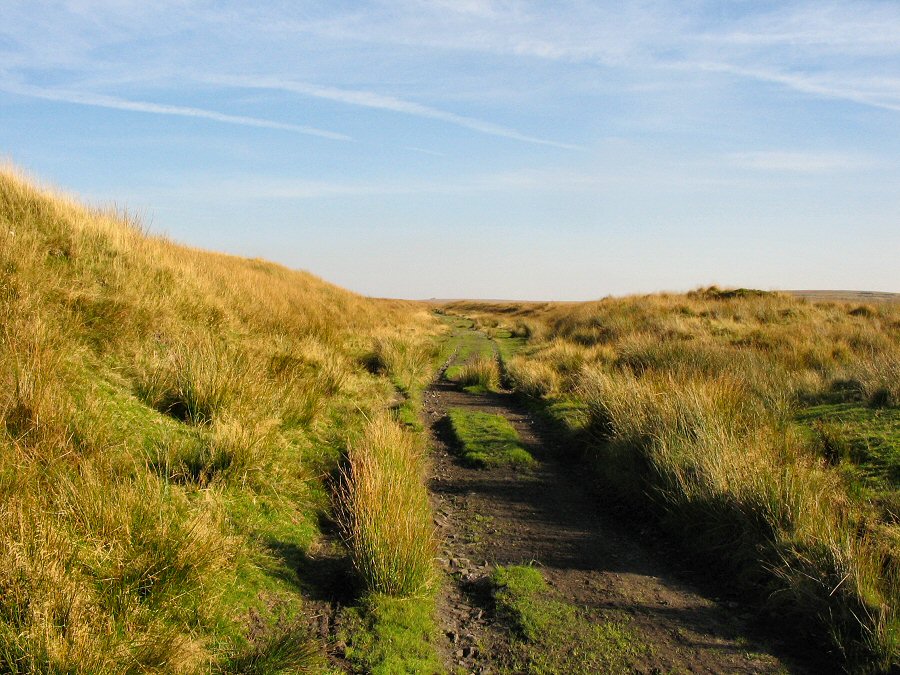
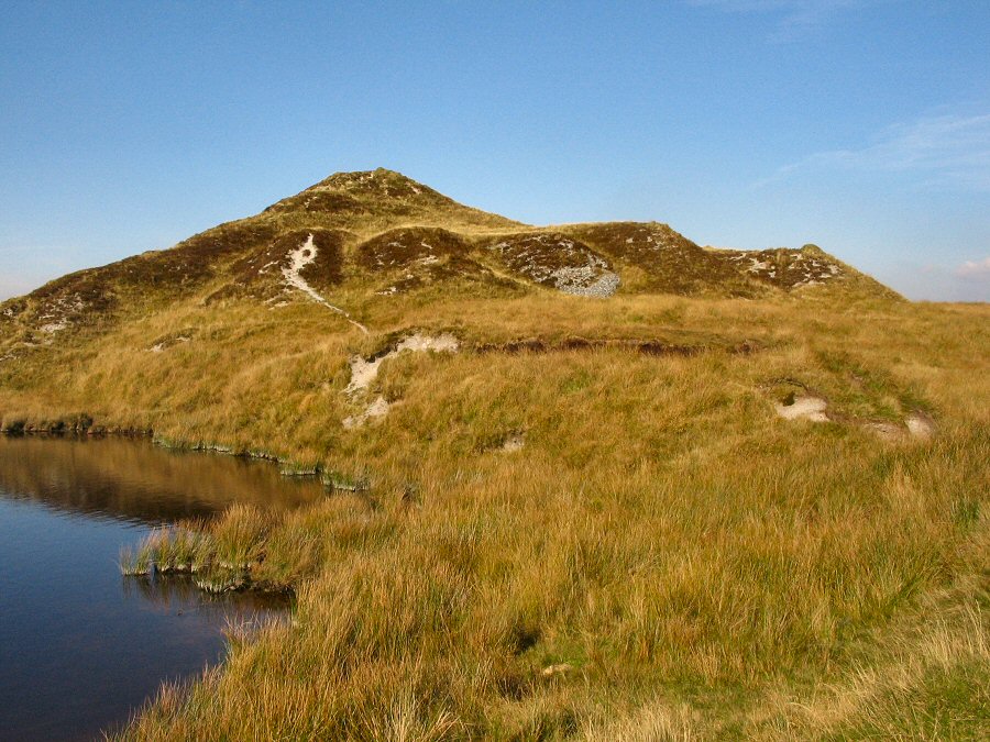
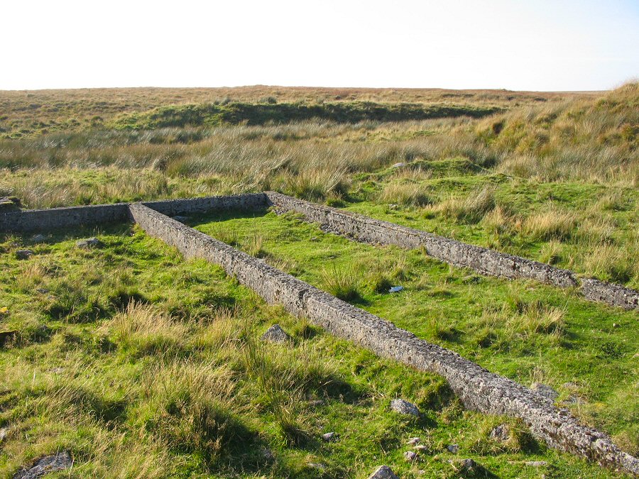
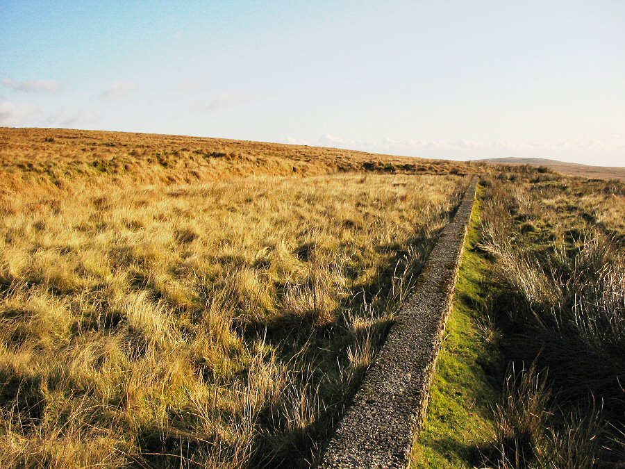
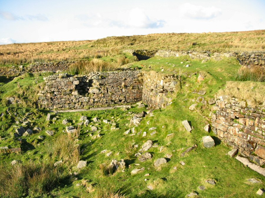
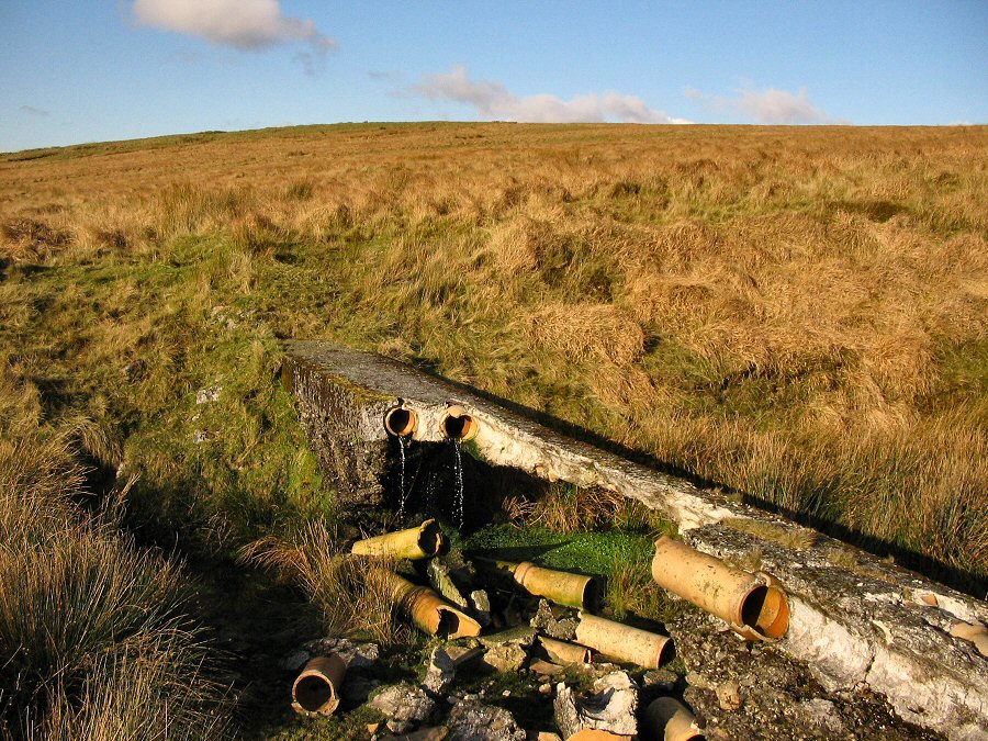
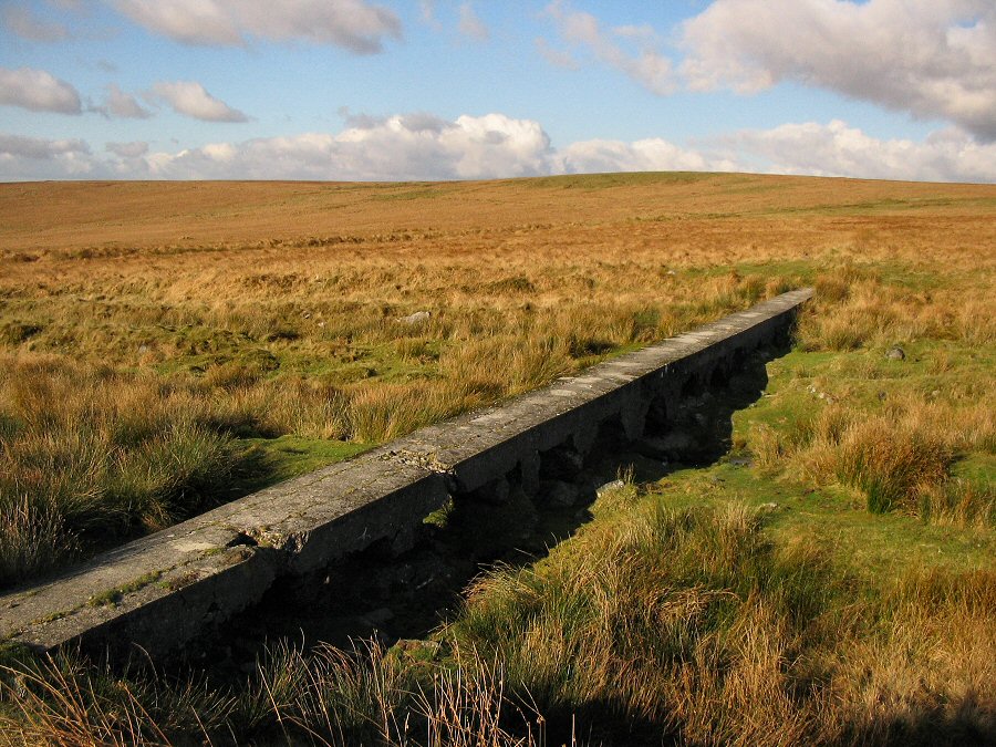
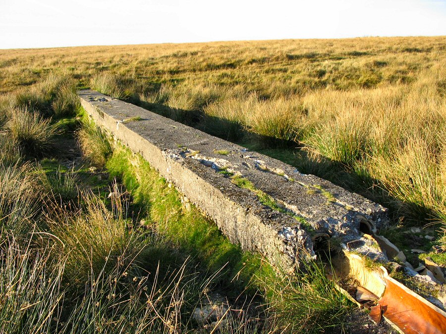
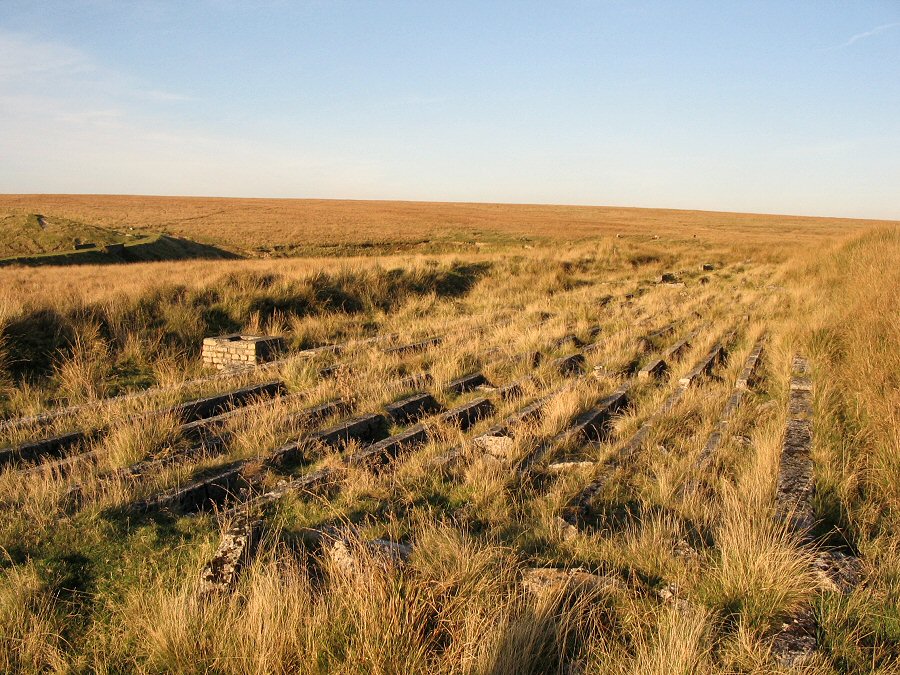
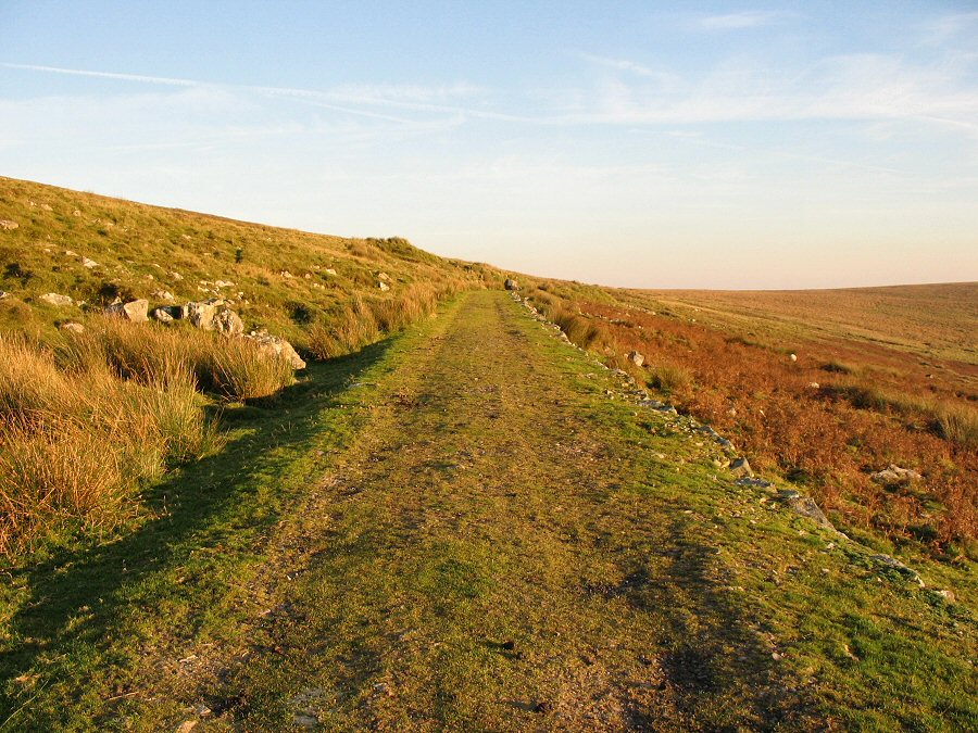
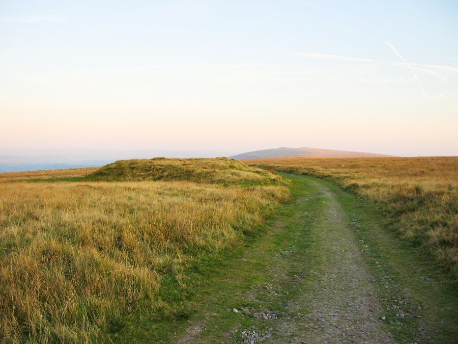
China Clay pipelineRed Lake lies in the heart of the Southern Moor. There is a distinctive landmark - the overgrown spoil tip of the China Clay works that started working in 1910 but had failed by 1933 as the best clay was by then extracted. Clay was hosed out from a deep pit and the slurry was transported via pumps to settling beds at Greenhill (Brown Heath) about a mile away. After a week or so of settling the sluices were opened and the clay in suspension flowed down pipes some 7 miles to the clay processing works at Cantrell near Ivybridge. The unwanted sand and gravel was loaded into trucks at Red Lake which were then tipped onto the waste tip that we see today. There was a railway which ran alongside the clay pipes that led down to Cantrell. This was only used for moving people (up to 100), coal and basic materials up to Red lake and took sand and fertiliser back to Cantrell. It is popularly known as the Puffing Billy track - (although on the map it is named The Two Moors way). The railway was of 3ft gauge and small steam engines pulled 3 passenger carriages and a range of trucks.Only the trackway remains - the rails are long gone. The clay pipeline was constructed from local materials and carefully followed the contours back to the Cantrell railhead. It is usually buried below the surface but across some streambeds a bridge was made to take the pipes. Then it is easy to spot the pipeline. The pipeline was laid near the railway but it does diverge in places since a distinct gradient was always needed to ensure that the slurry flowed properly via gravity. (If you want to see the line of the pipeway then the aerial view from Google Earth is very effective. )There's limited roadside parking near Cantrell at SX 659571. From here you pass through the gate and you are straightaway on the remains of the start of the railway. Basically you just follow the line of the railway as far as you want to go. Although the going is level it is longer than it might at first seem. This walk has lots of contrast ranging from the bracken covered slopes of Cantrell through to the lonely wastes of Red Lake. The atmosphere changes as well. It is an excellent introduction to the southern moor.This is a long walk of over 16 miles if you get to Red Lake. Owing to the distinct nature of the track you are hardly likely to get lost even in the mist. Walking is pretty straightforward too - although parts of the track can get very wet. The trackway is quite popular with locals on the weekend. No Army ranges to worry about.
|
||||||||||||||||||||||||||||||||||||||||||||||||||||||||||||||||
All | Little | Shorter | Standard | Longer | Tors | Relics | History | Links | Panoramas | Home | ||||||||||||||||||||||||||||||||||||||||||||||||||||||||||||||||