All | Little | Shorter | Standard | Longer | Tors | Relics | History | Links | Panoramas | Home
|
||||||||||||||||||||||||||||||||||||||||
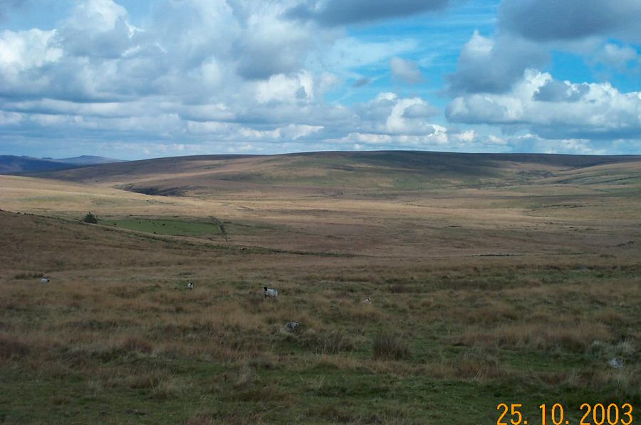
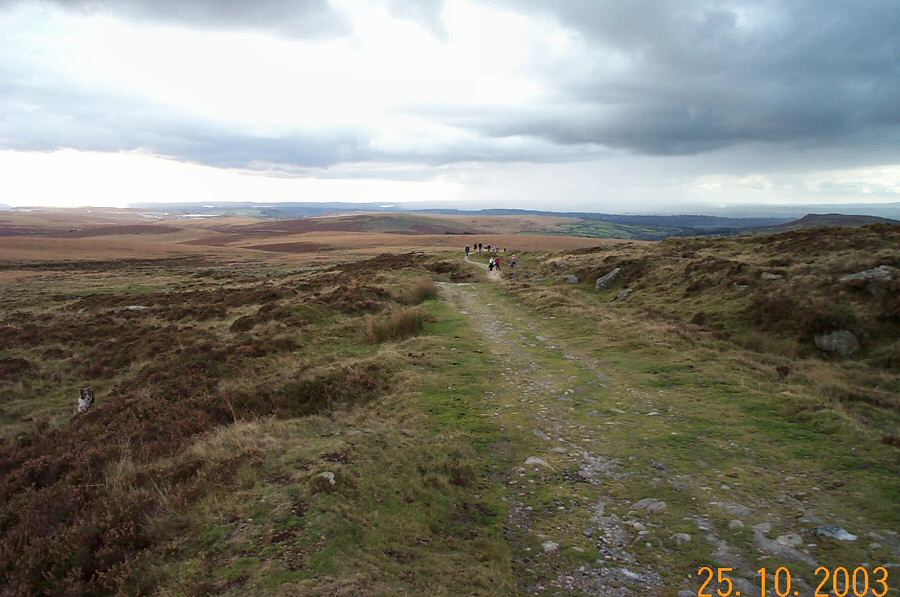
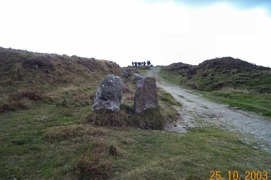
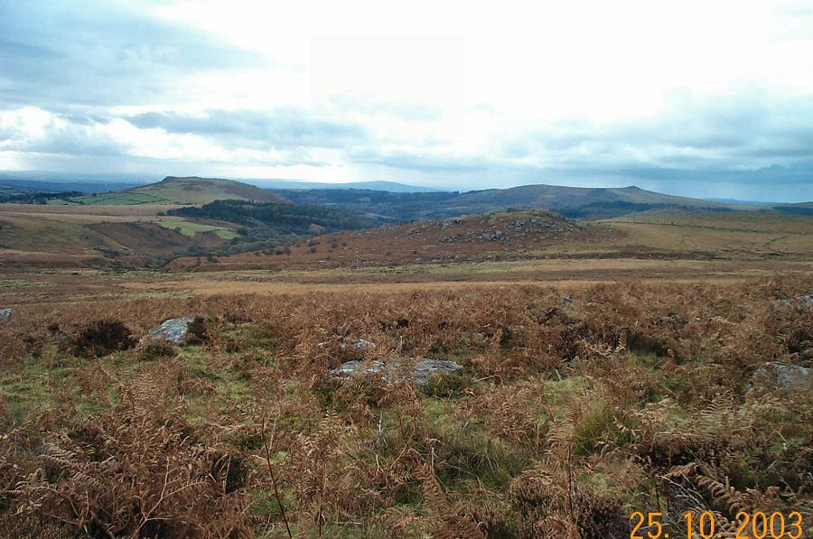
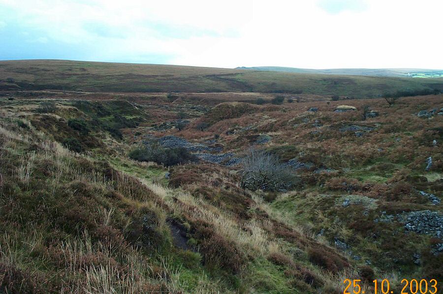
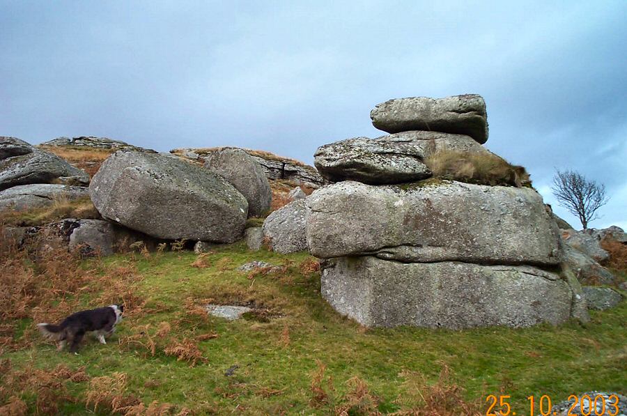
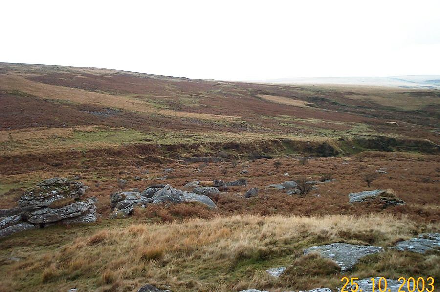
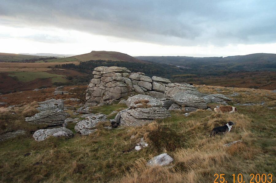
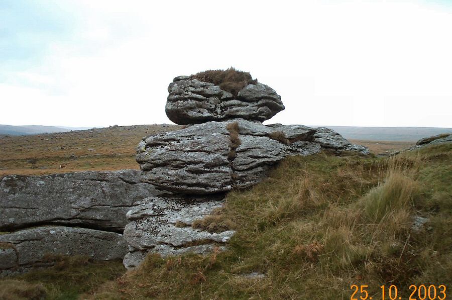
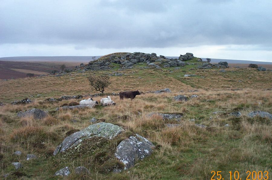
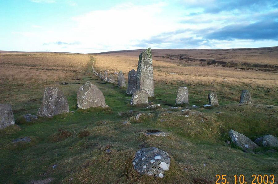
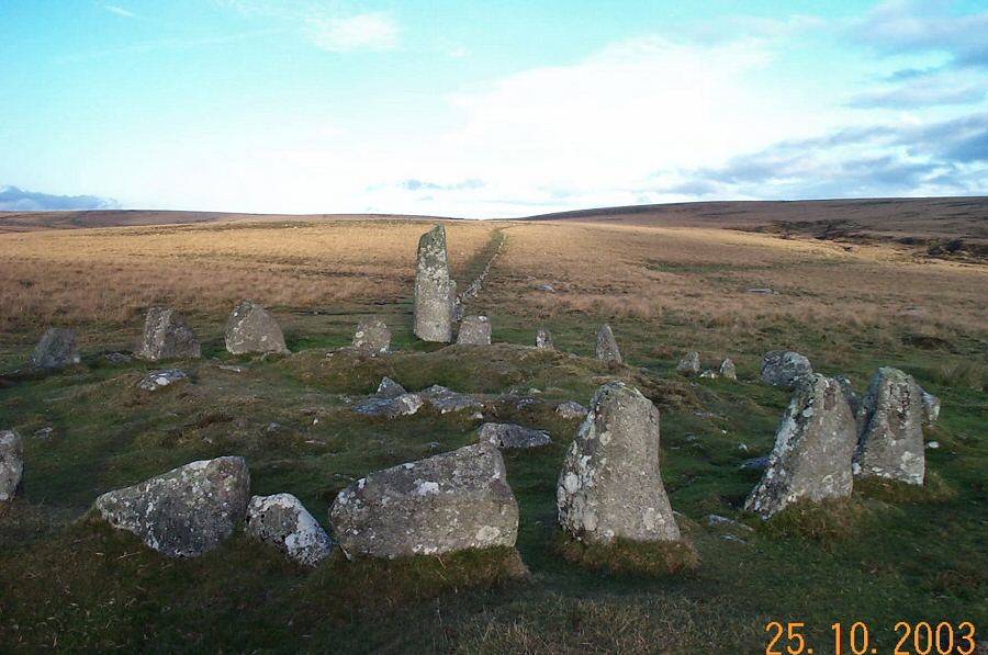
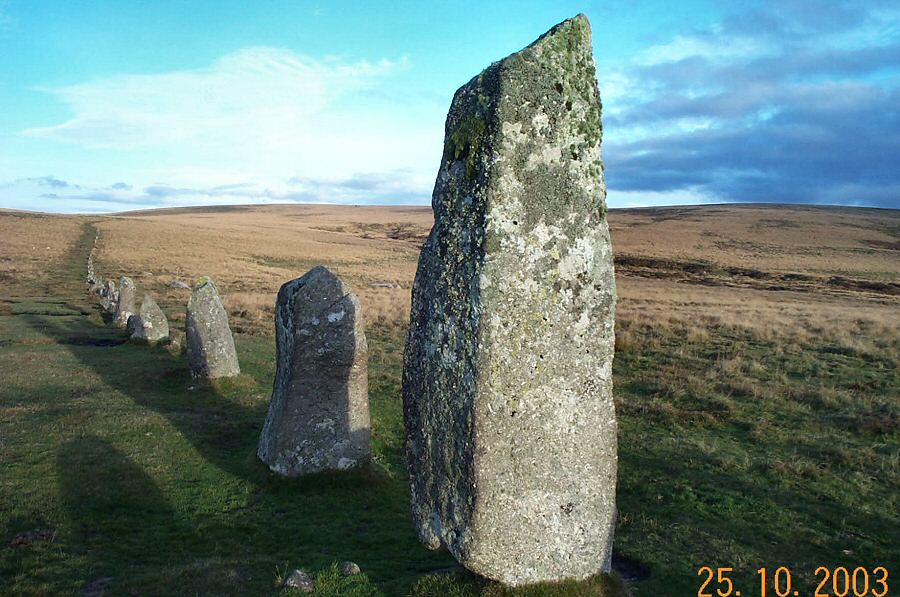
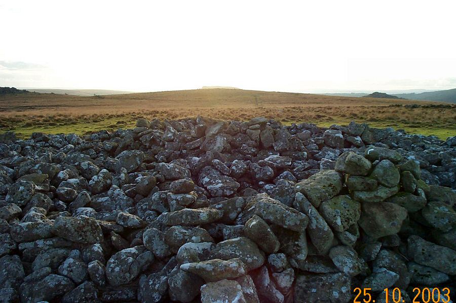
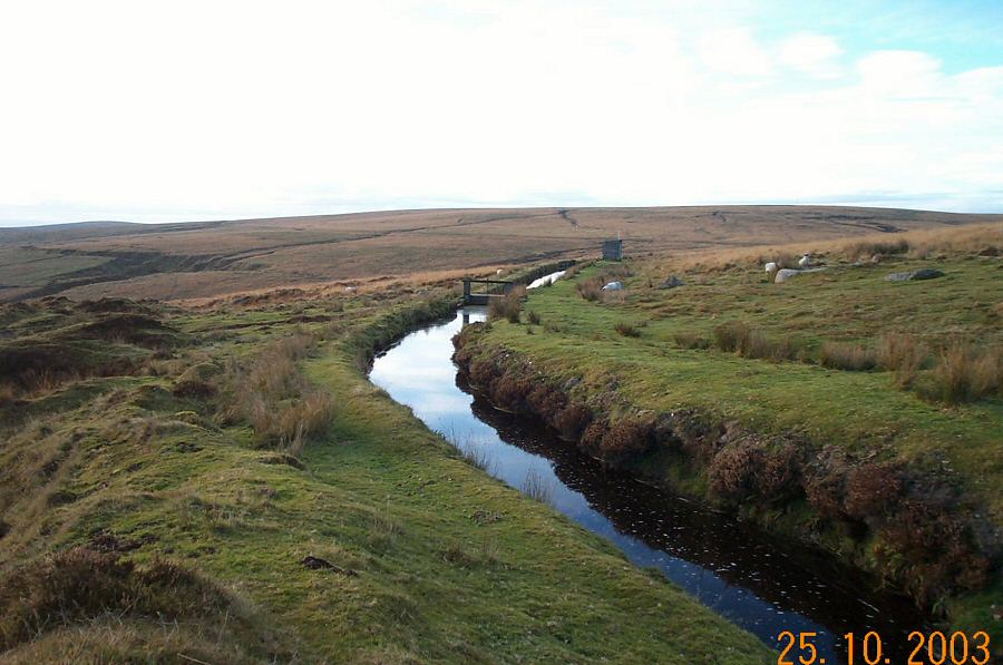
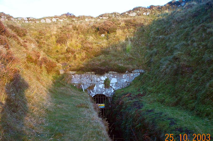
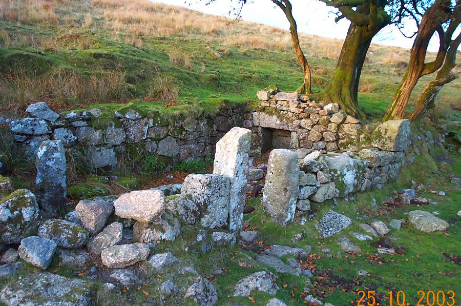
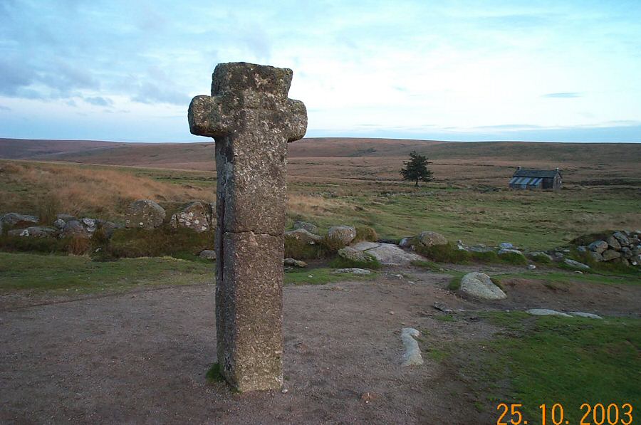
Combeshead TorThe excuse for this walk is to go and see the Down Tor stone circle. On the way we go past the remains of the Eylesbarrow Tin mine. We end up walking near the Devonport leat.Approach from the southern road out from Princetown. Just before the road turns to Whiteworks there is a handy car park (SX 603708). Head southwards along an easy track to Nun's Cross Farm. Carry SW along the track to Eylesbarrow Tin Mine. Now leave the path and walk NW over the hill. After a short walk the view over Burrator and Combeshead opens up and you can make your way down to Combeshead Tor by crossing the Narrator Brook. From Combeshead head north for the stone row and circle. Then walk along the ridge in an easterly direction to take you back to Nuns Cross.An easy walk of about 3.5 miles. The ground is straightforward and there are no boggy parts. No restricted military areas - but the army does use this area for exercise so don't be surprised to see soldiers looming out of the mist.
|
||||||||||||||||||||||||||||||||||||||||
All | Little | Shorter | Standard | Longer | Tors | Relics | History | Links | Panoramas | Home | ||||||||||||||||||||||||||||||||||||||||