
All | Little | Shorter | Standard | Longer | Tors | Relics | History | Links | Panoramas | Home
|
|
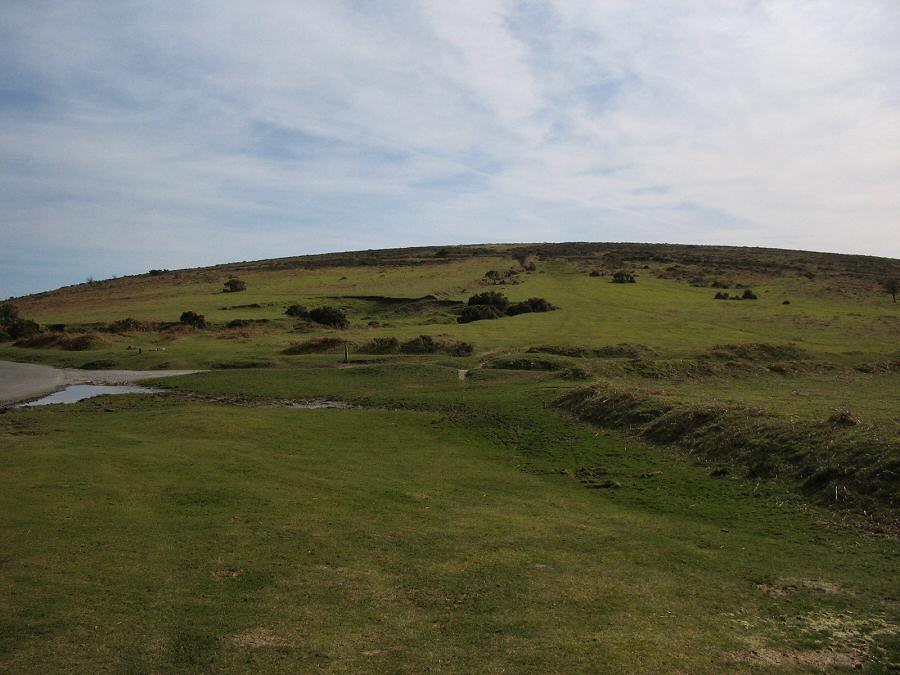
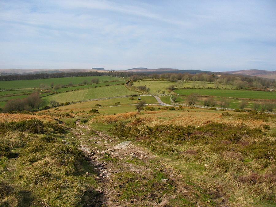
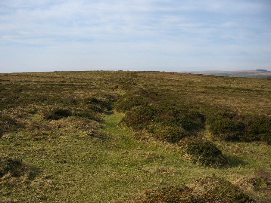
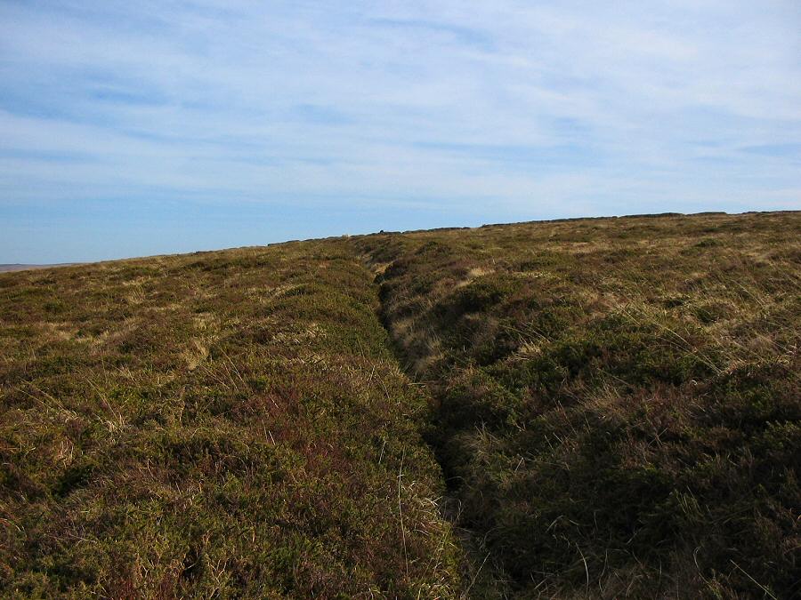
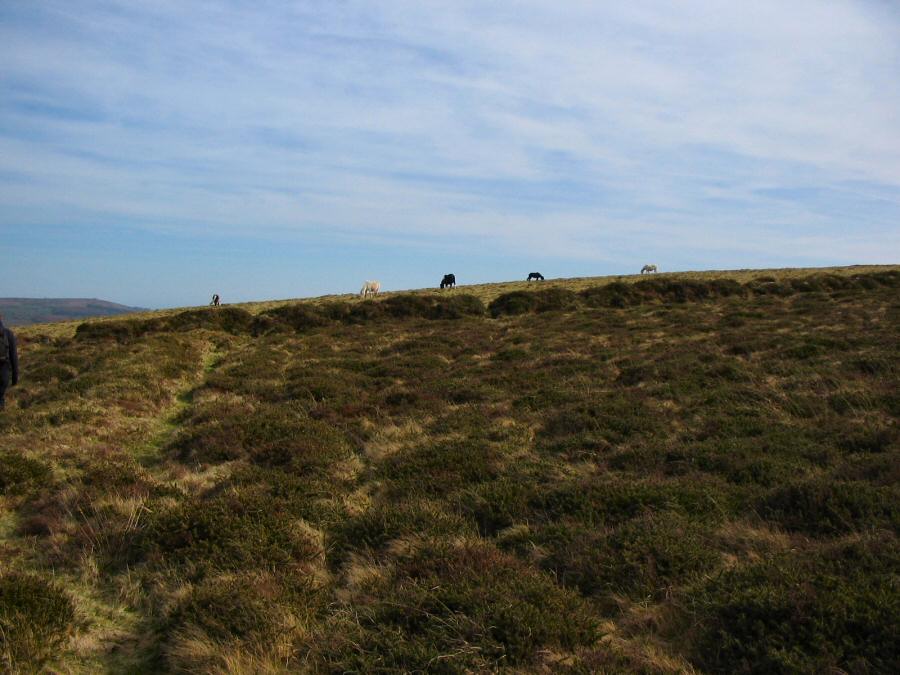
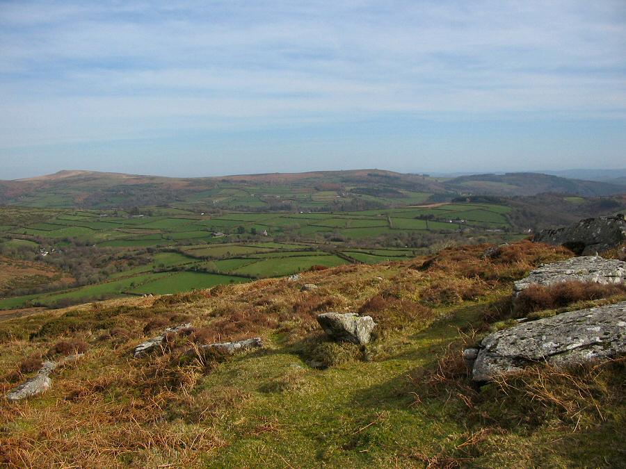
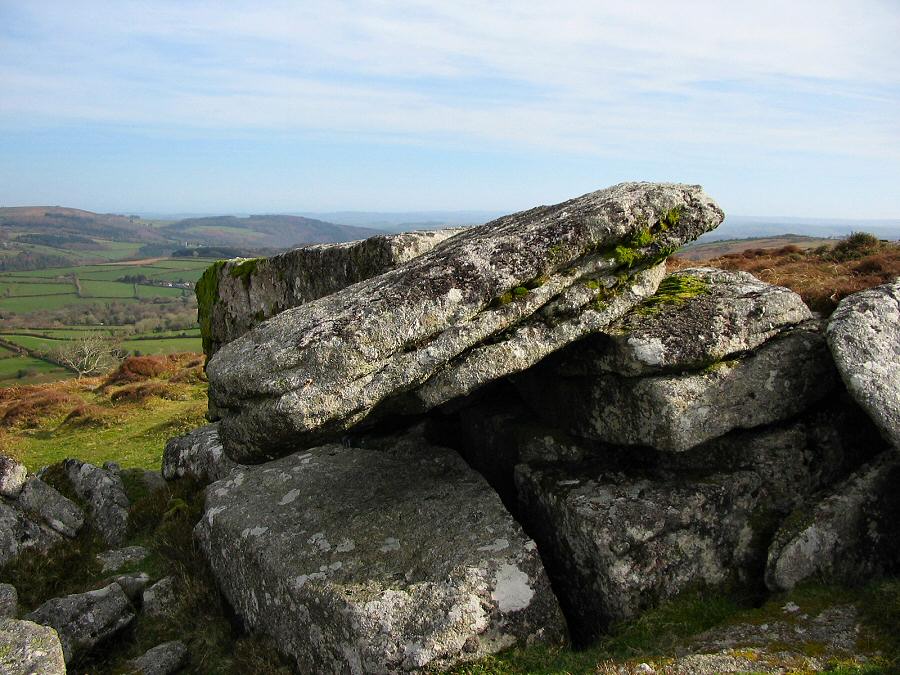
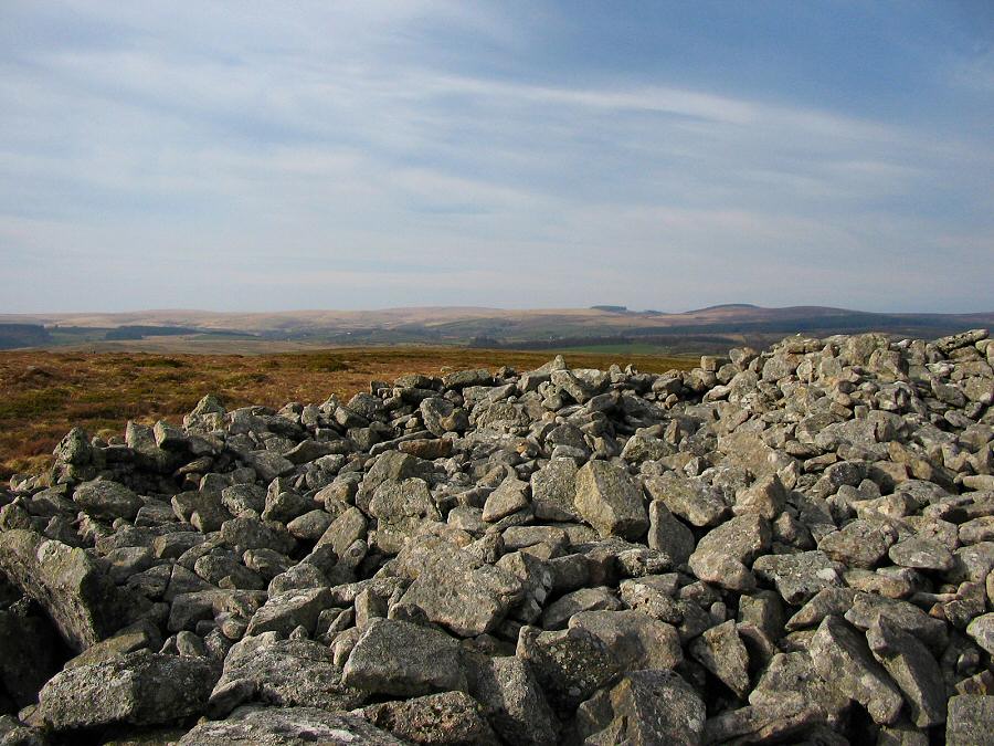
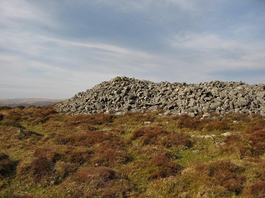
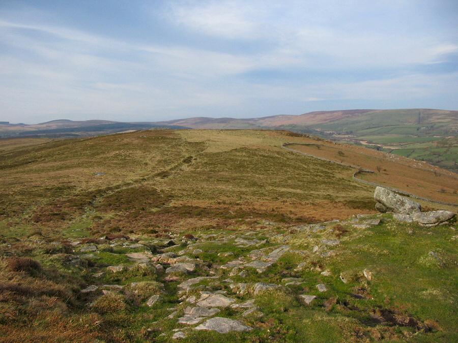
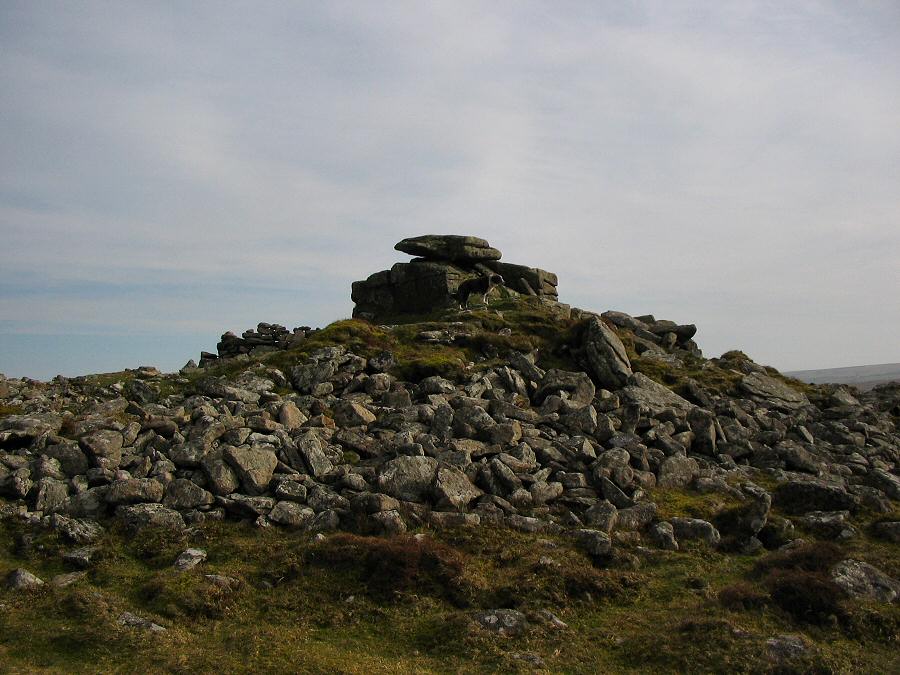
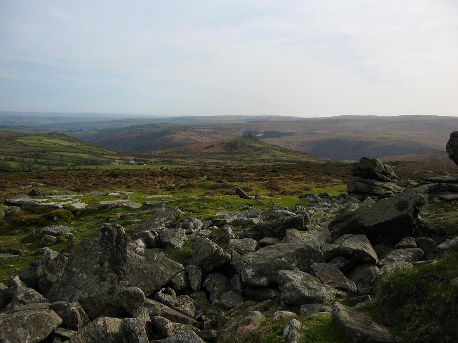
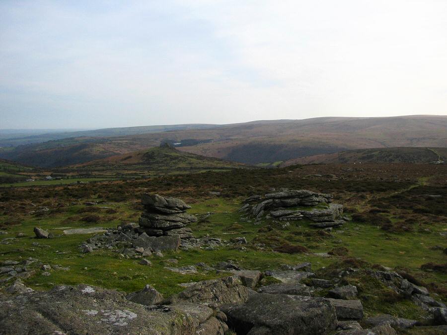
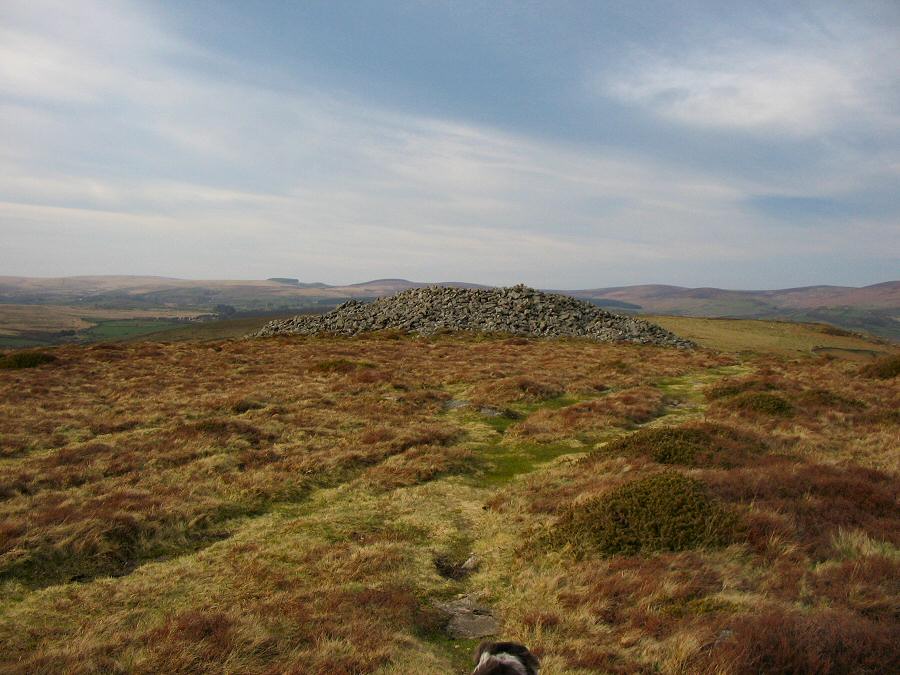
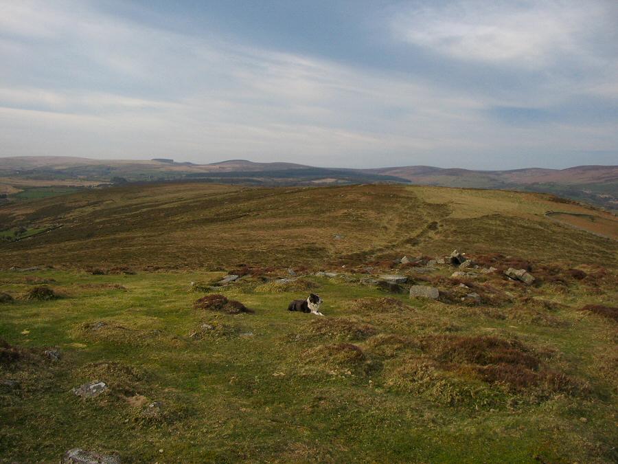
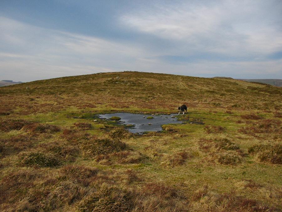
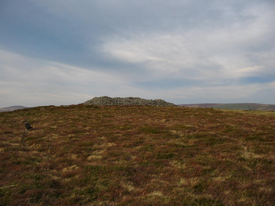
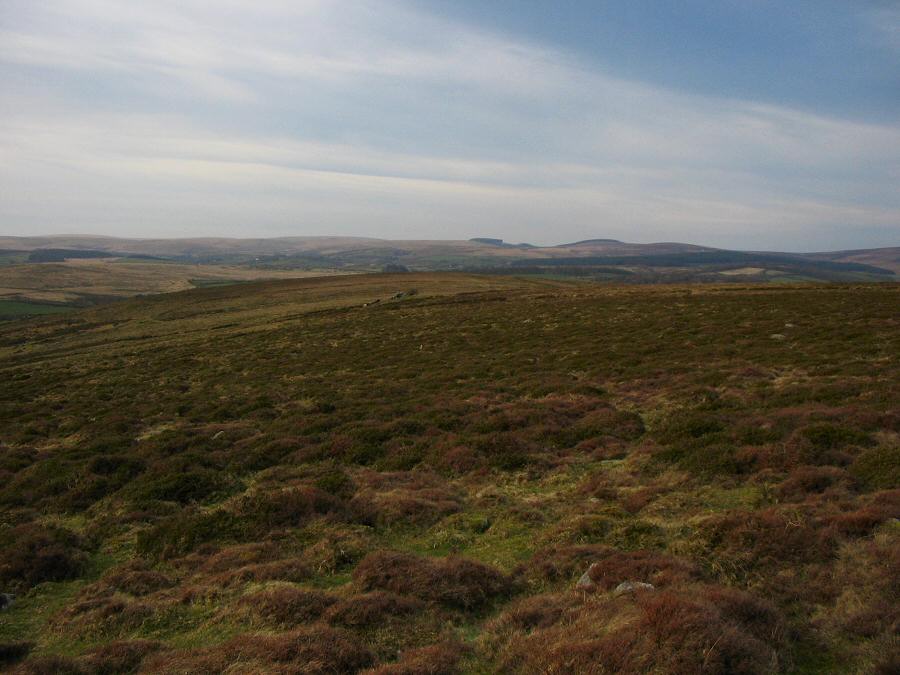
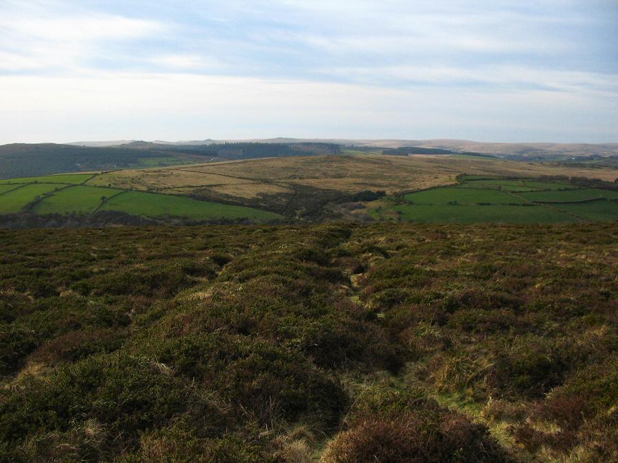
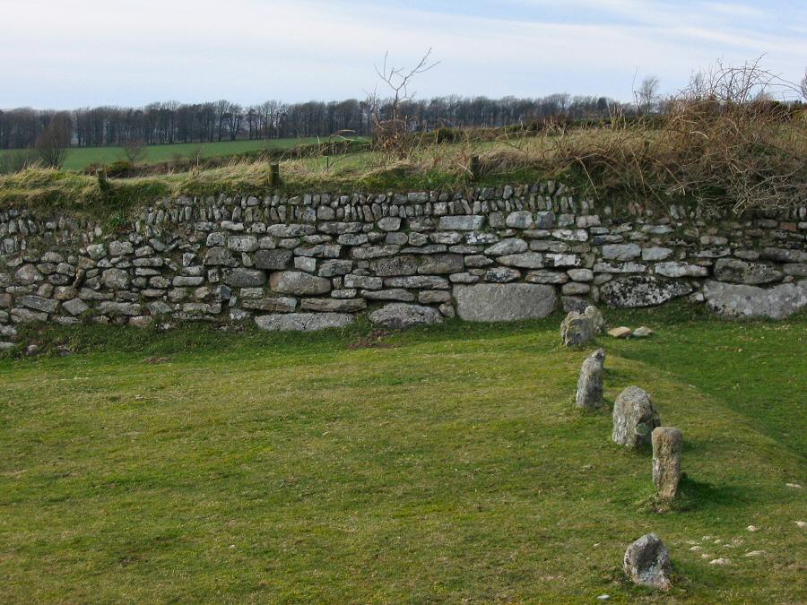
Corndon DownCorndon Down is named after the cairns that are found on this exposed sloping hill. There are three substantial Bronze age cairns and a fourth less obvious one. The reason for these cairns is simple - commanding views over the central Dartmoor countryside. Corndon also has an extensive set of Bronze Age reaves (prehistoric boundaries) and other remains of settlements and old field patterns. Around 1500 bc - when the climate was warmer - Corndon supported a substantial population of people and so it was necessary for them to parcel up the desirable land. Today Corndon is a gorsey heathland and couldn't be used for anything other than rough grazing. However, the views are just as stunning as the Bronze Age chieftains would have appreciated as a setting for their final resting grounds.Park offroad near Middle Cator at SX 681763. Head south and walk up the hillside track. Then just head southwards for about 1.5 miles until you get to Corndon Tor. On the way you'll pass two of the Corndon cairns. From the tor you can simply head back in a northwards direction.This is a straightforward walk of around 3 miles. A little climbing required at the start of the walk. In the summer months gorse could be a problem. No military areas.
|
|
All | Little | Shorter | Standard | Longer | Tors | Relics | History | Links | Panoramas | Home | |
