All | Little | Shorter | Standard | Longer | Tors | Relics | History | Links | Panoramas | Home
|
||||||||||||||||||||||||||||||||||||||||||||
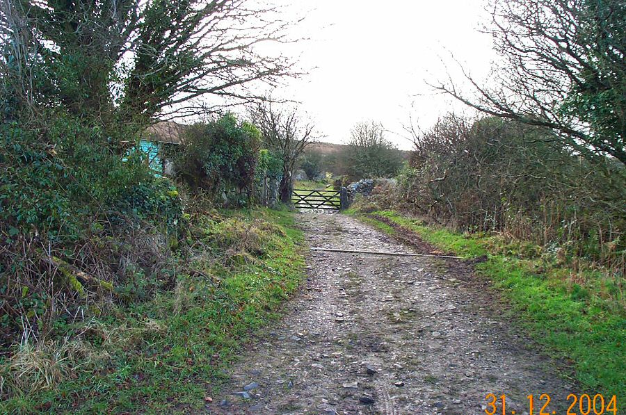
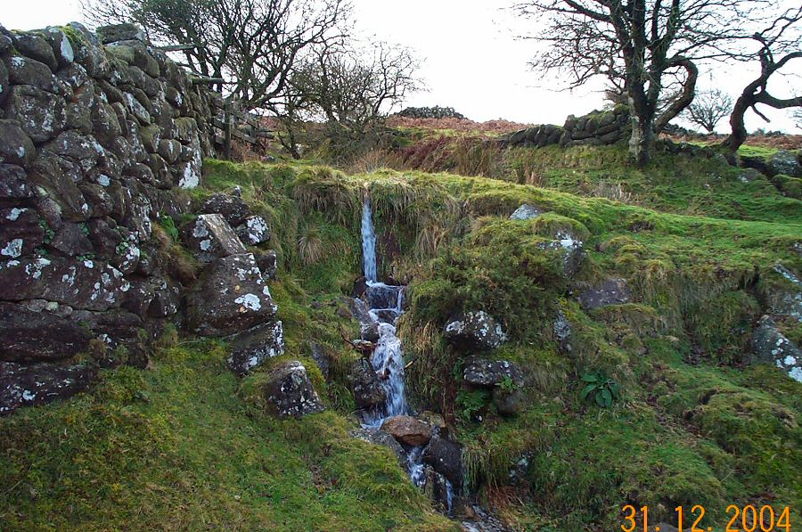
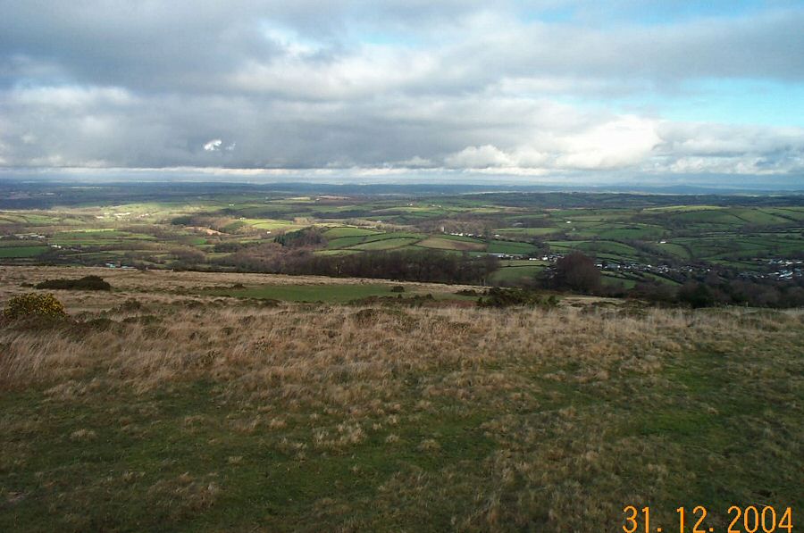
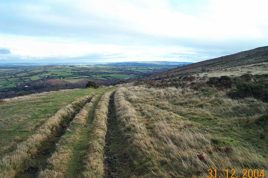
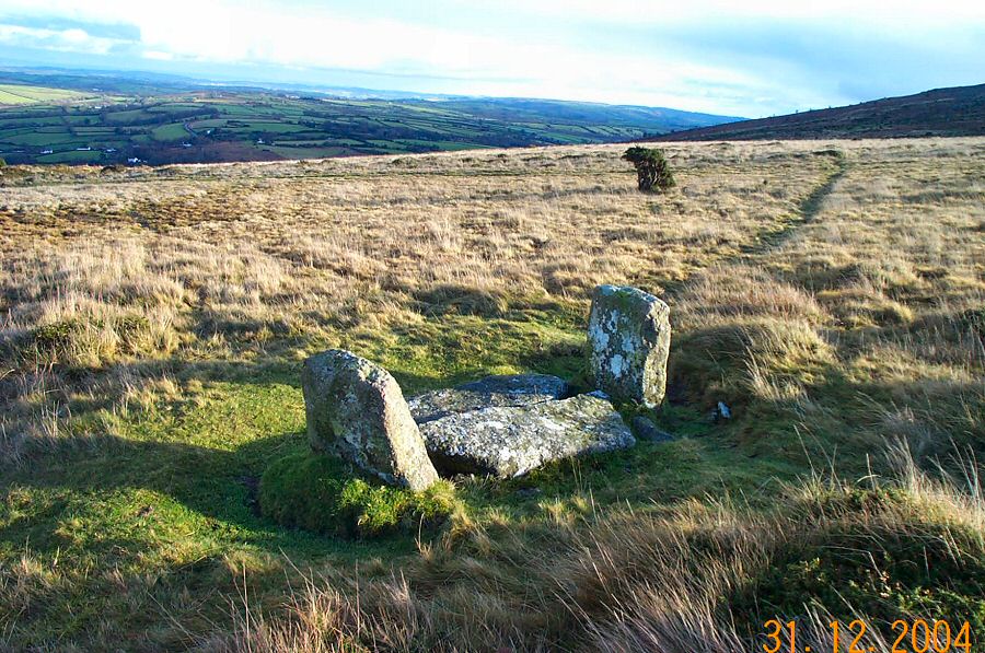
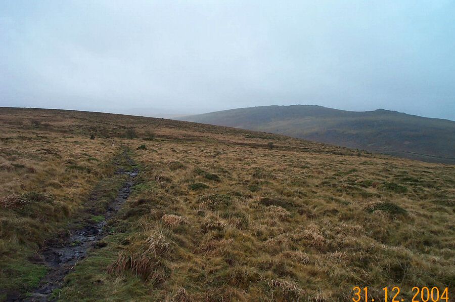
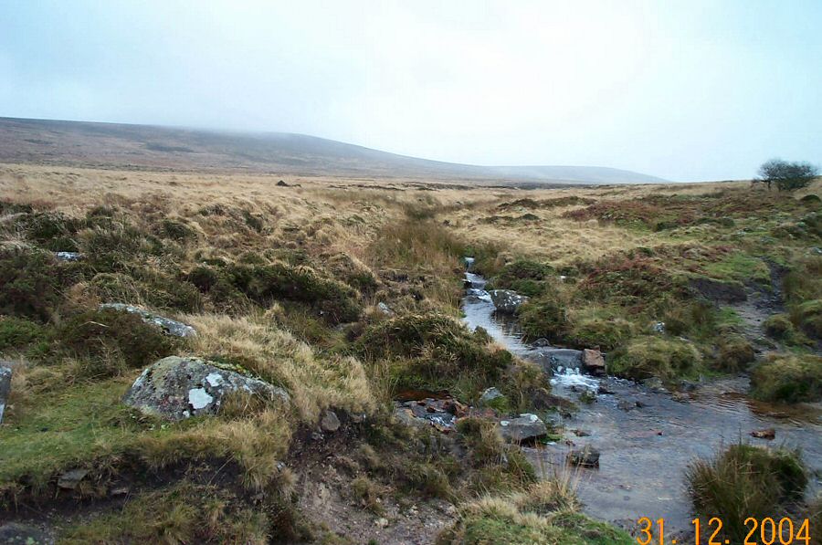
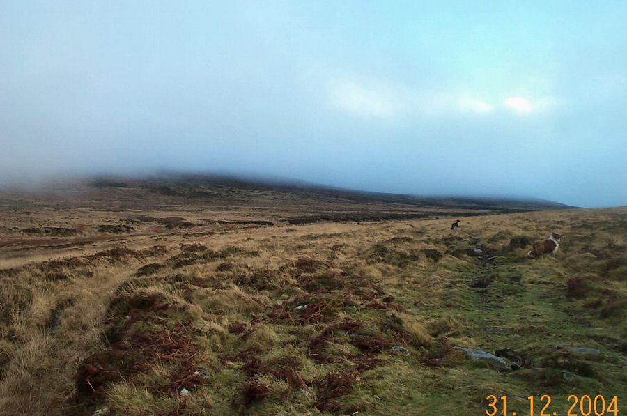
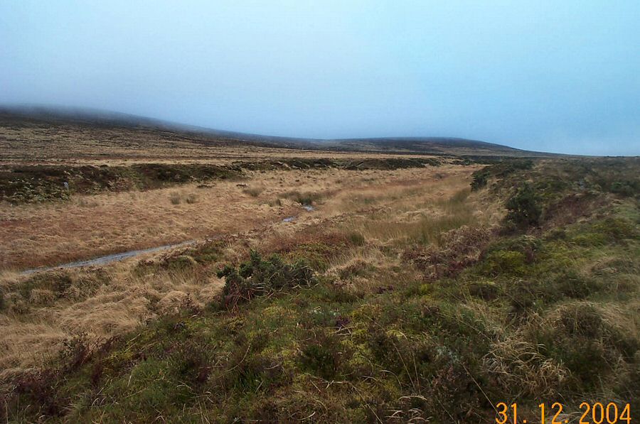
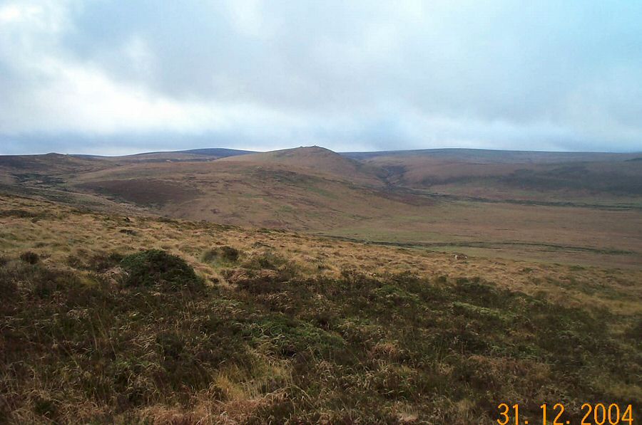
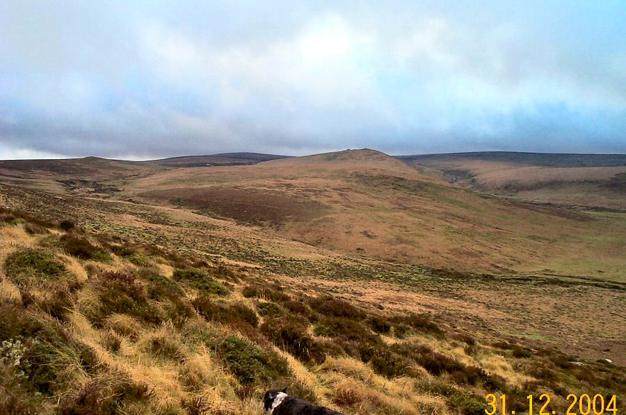
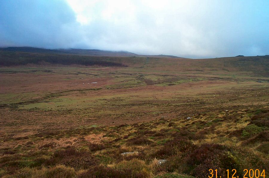
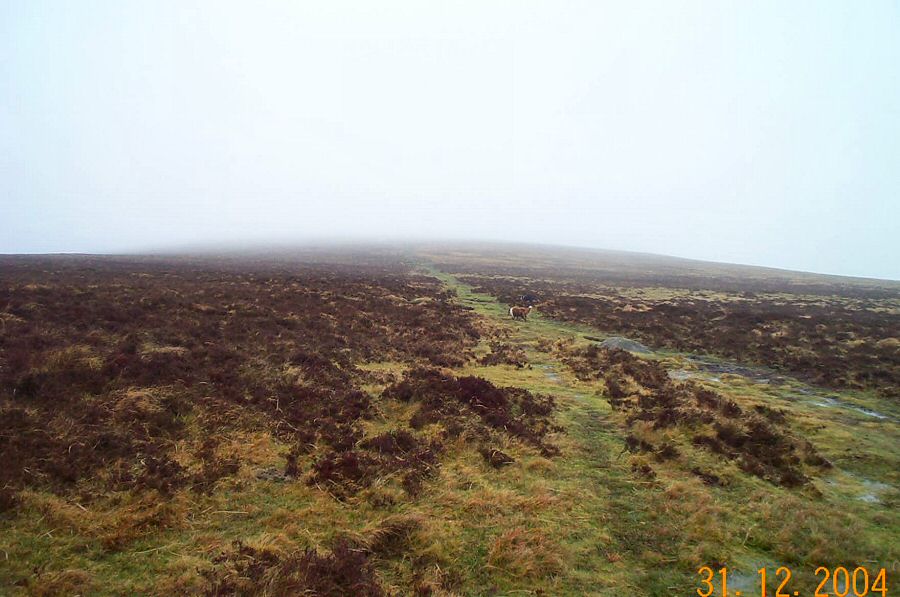
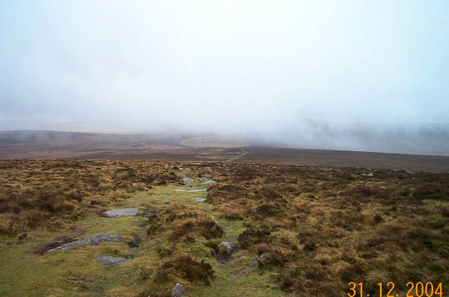
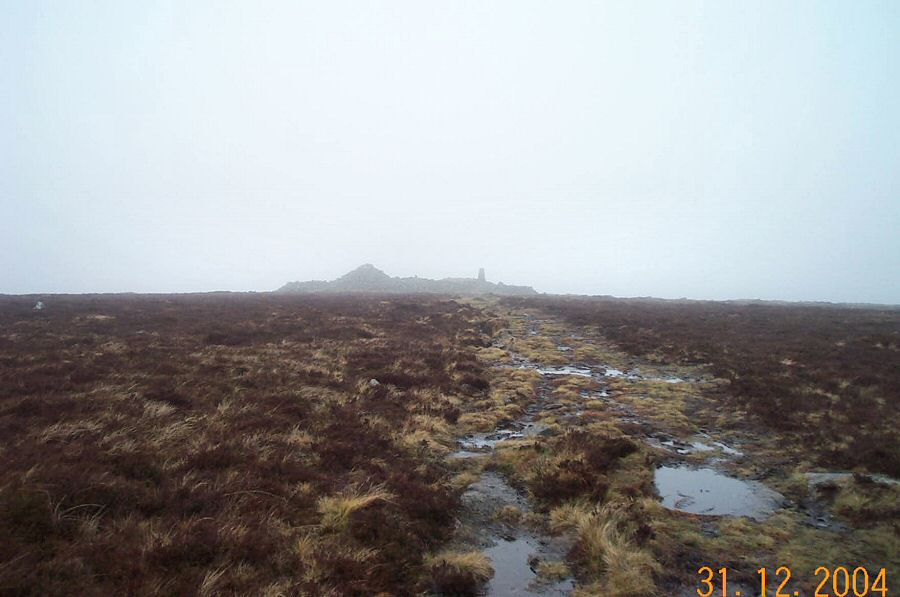
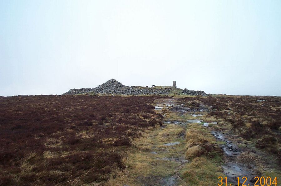
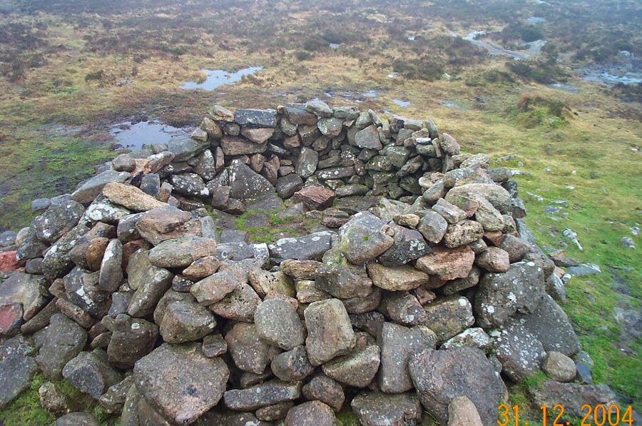
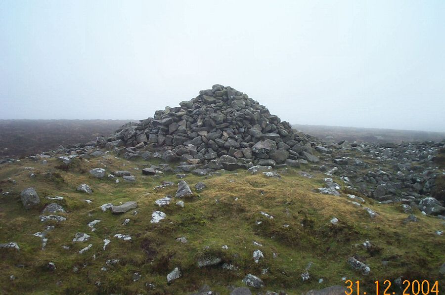
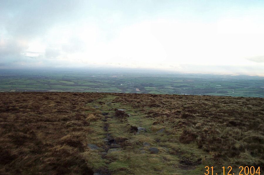
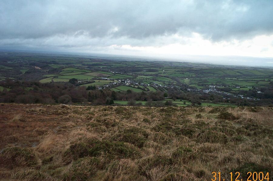
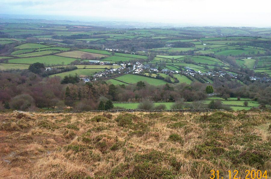
Cosdon HillCosdon Hill (SX 637915) dominates the NE side of Dartmoor. Cosdon is a large, smooth dome of granite that gives excellent view over northern Devon. There are the remains of several cairns on the summit as well as a triangulation point. Since it is one of the highest points in Dartmoor (550m) Cosdon was used as a beacon in older times with the next beacon along at Dunkery in Exmoor. Owing to its position Cosdon is often wreathed in mists or low cloud. Cosdon has been known as Cawsand, Cosdonne or even Hoga de Cossdonne in the past. The beacon was one of the points that determined the boundaries of Dartmoor in the 1240 perambulation.There are a number of tracks that lead onto the NE side of Cosdon. Most of these tracks run through a set of banked fields and there is not much space for parking. This walk started at SX 644931 where there is space for 2 vehicles. Walk along a track until you hit the open moor at SX 638930. Then follow the track around the north and west side of Cosdon (keep to the 400m contour), until you get to the ford over the Ivy Tor stream. Follow this stream past its head from where you can ascend the gentle slope of White Hill. As you get to the top you'll come to the track that goes to the Cosdon beacons. Take it and soon you'll be at the Cosdon beacons. From here carry on walking northwards down the slope until you get back to the slopes from where you started.There's lots of other walking possibilities eg. carry on towards Hound Tor or Steeperton Tors. Or you can carry on traversing around the hill on the 400m countour.A straightforward 4.5 mile walk with no rough ground or bogs to worry about. However, mists can appear very quickly. No army grounds
|
||||||||||||||||||||||||||||||||||||||||||||
All | Little | Shorter | Standard | Longer | Tors | Relics | History | Links | Panoramas | Home | ||||||||||||||||||||||||||||||||||||||||||||