All | Little | Shorter | Standard | Longer | Tors | Relics | History | Links | Panoramas | Home
|
||||||||||||||||||||||||||||||||||||||||||||||||||||||||
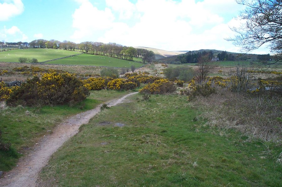
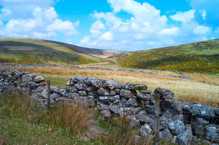
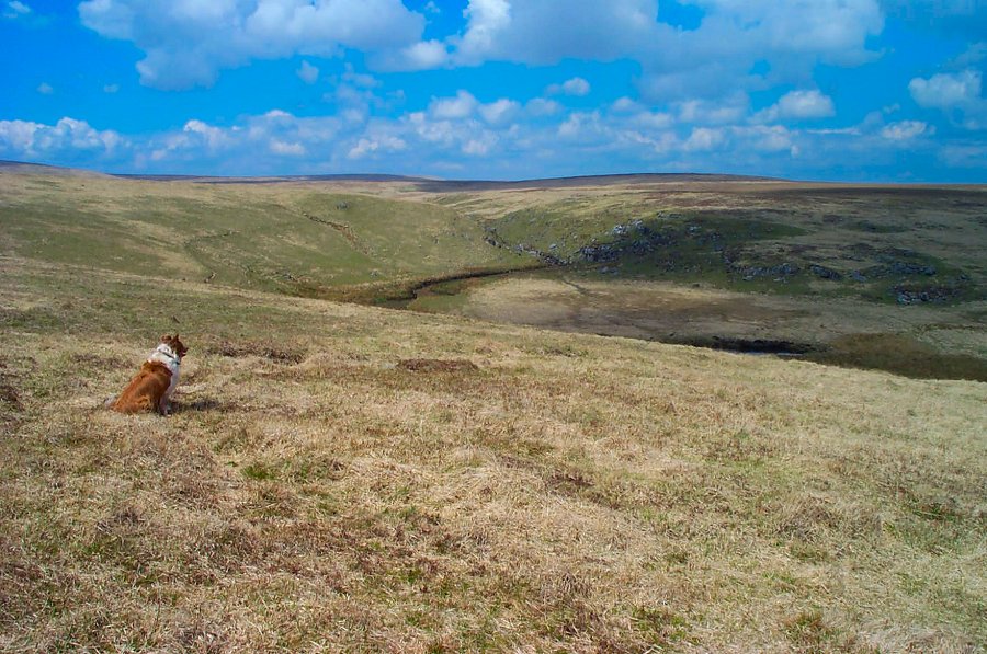
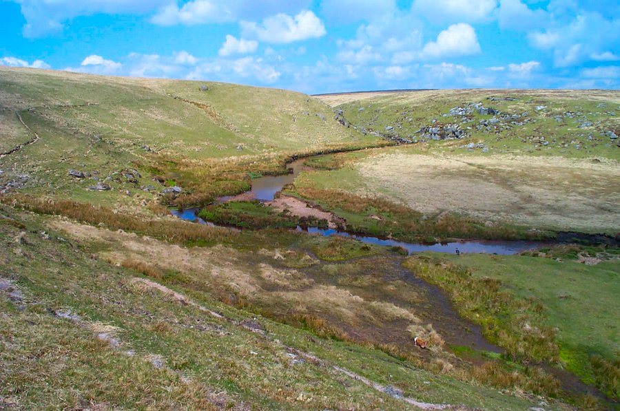
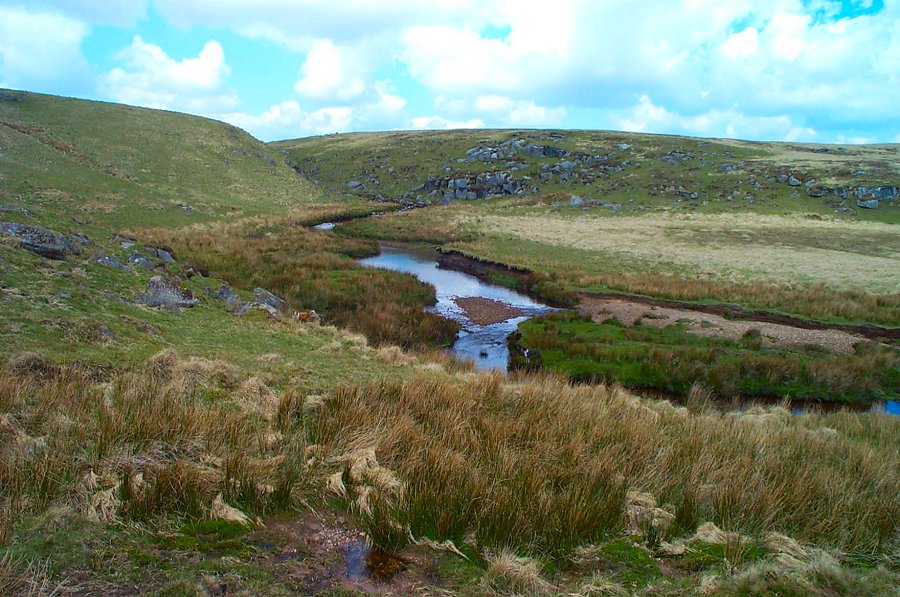
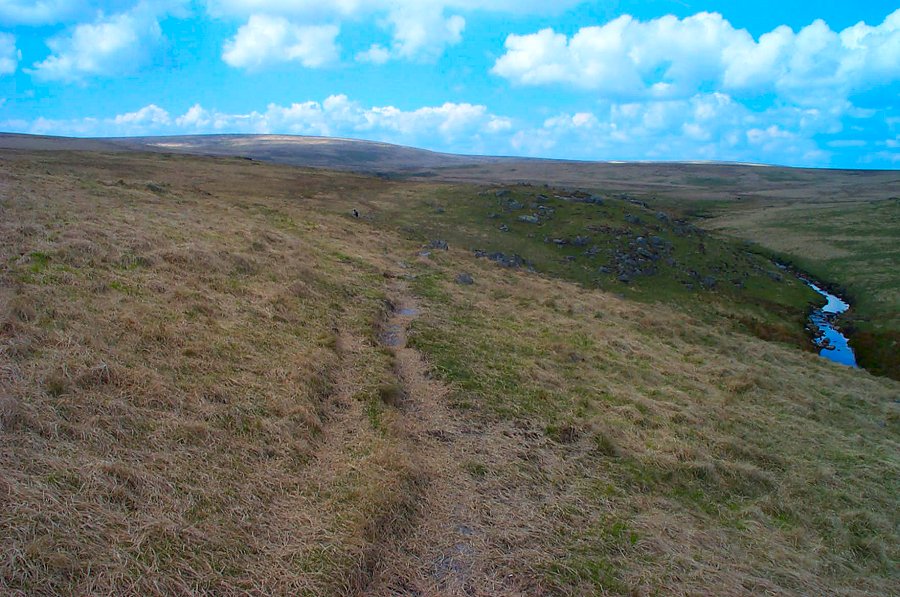
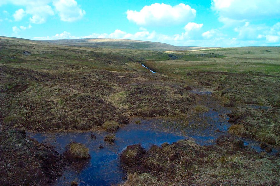
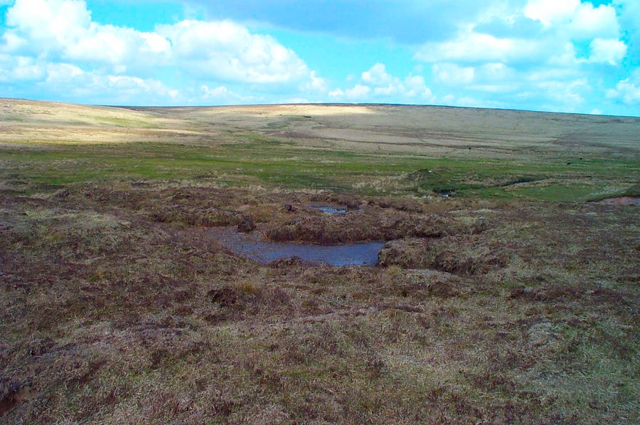
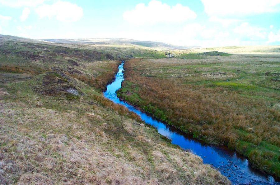
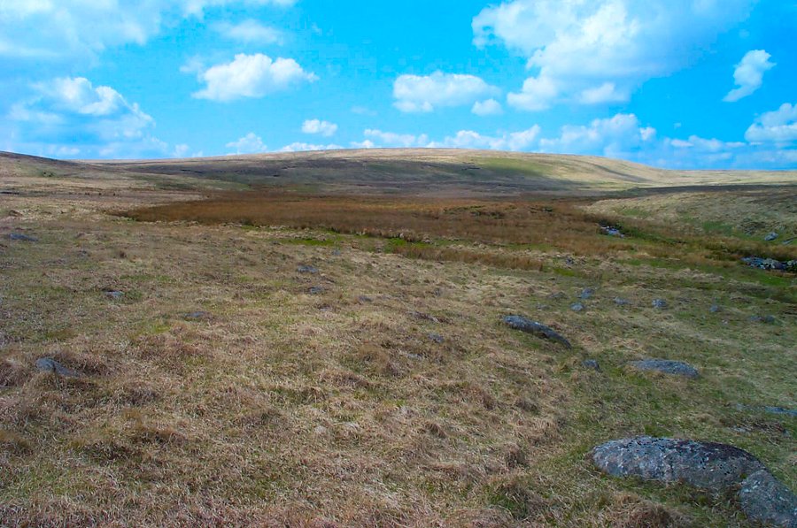
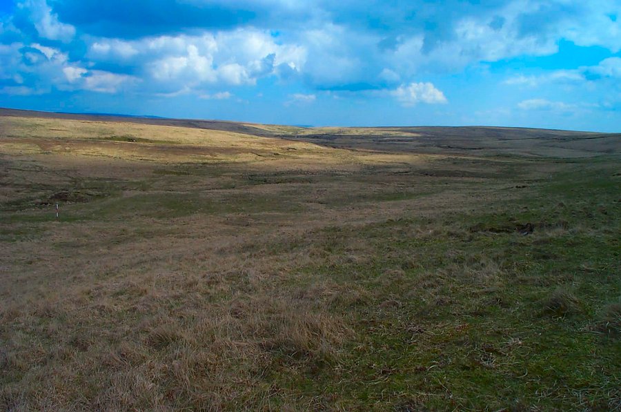
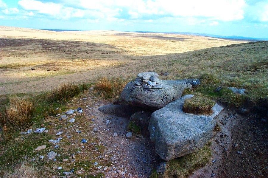
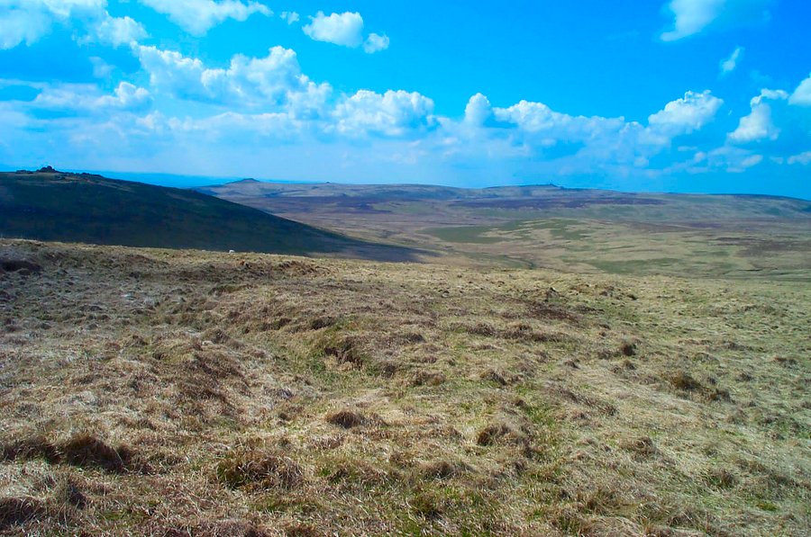
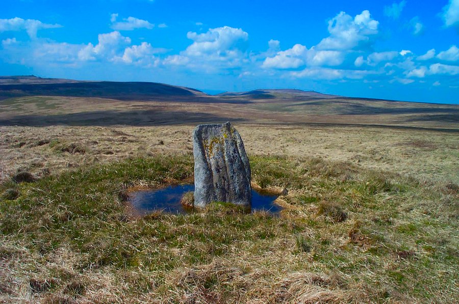
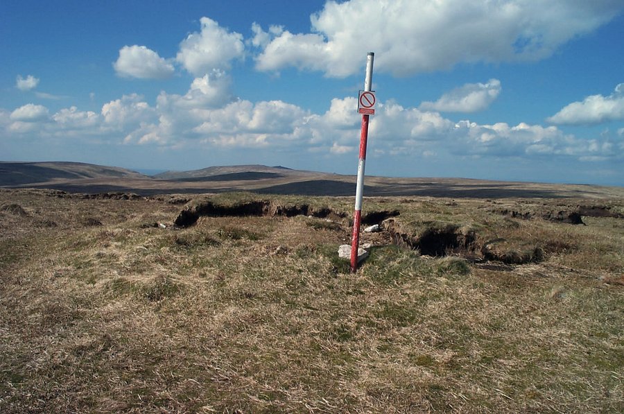
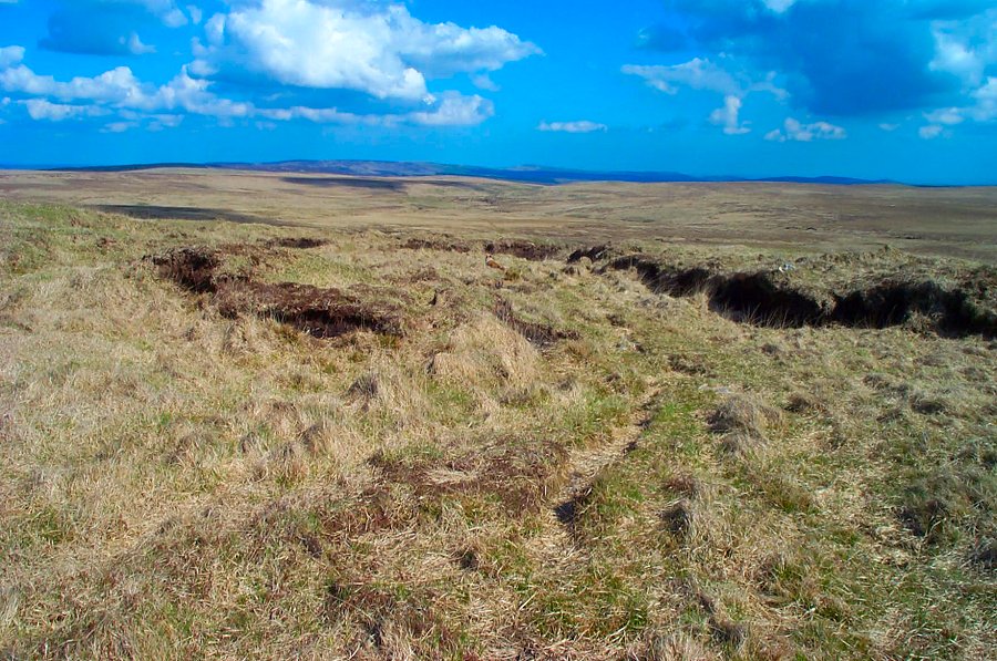
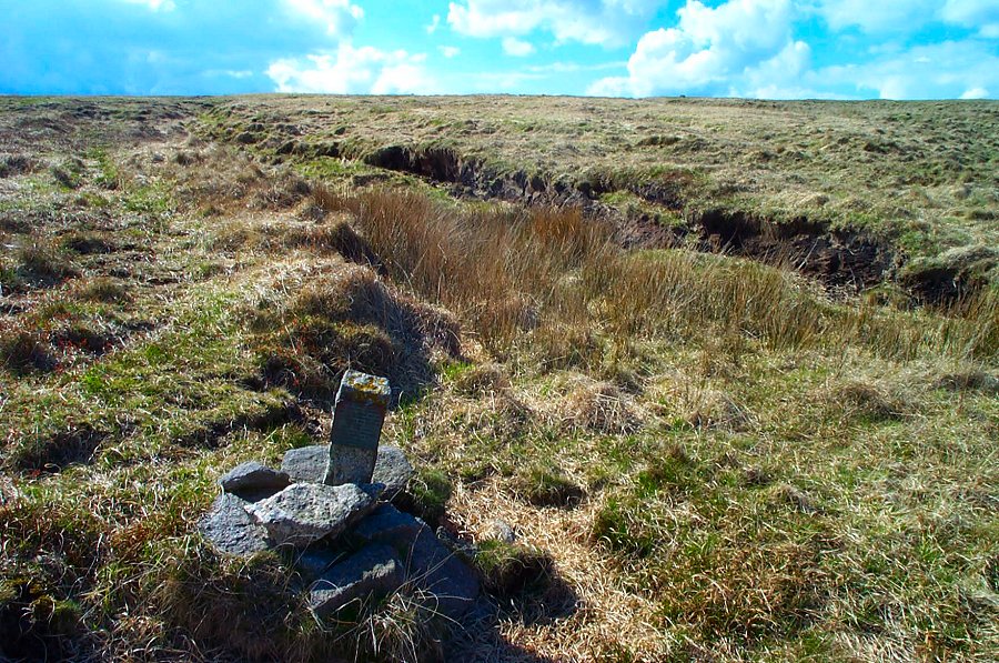
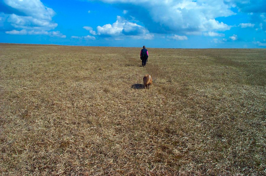
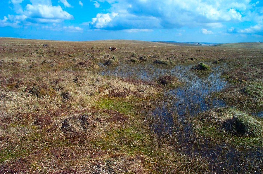
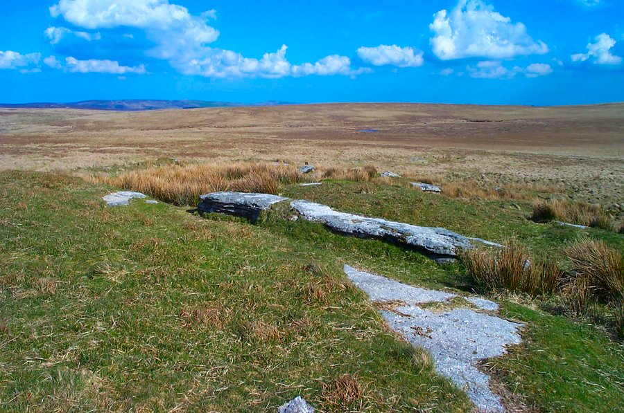
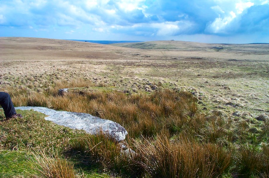
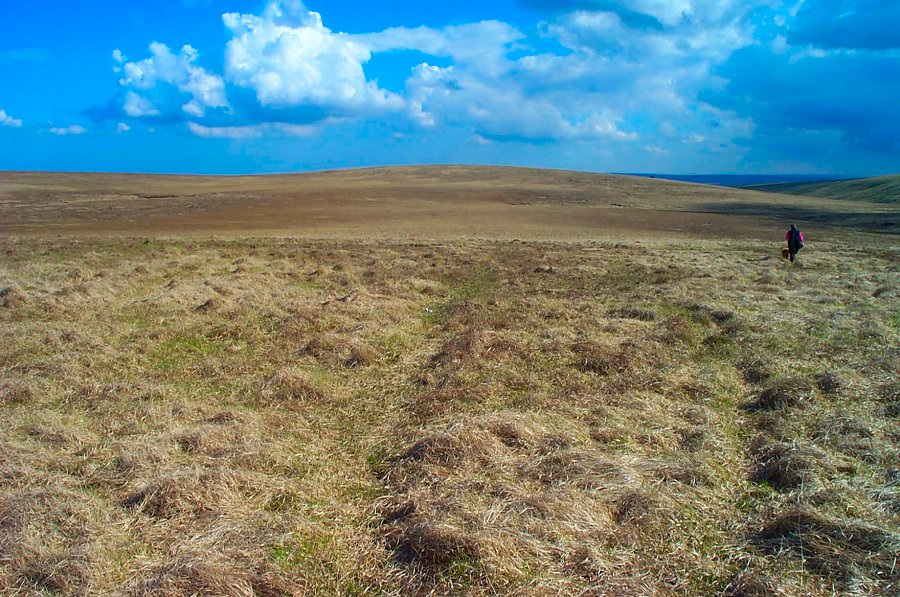
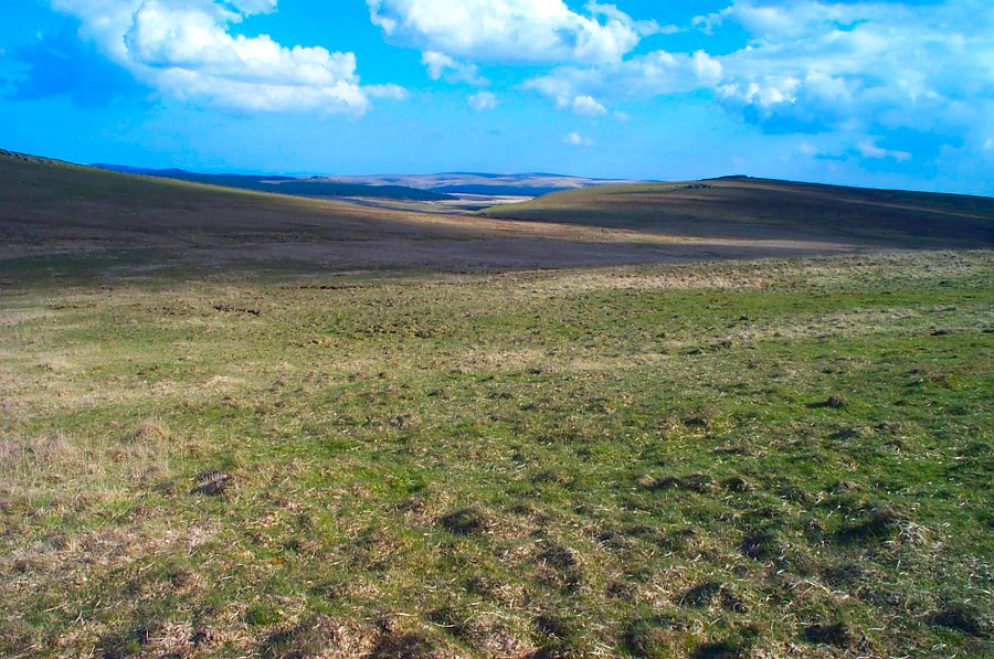
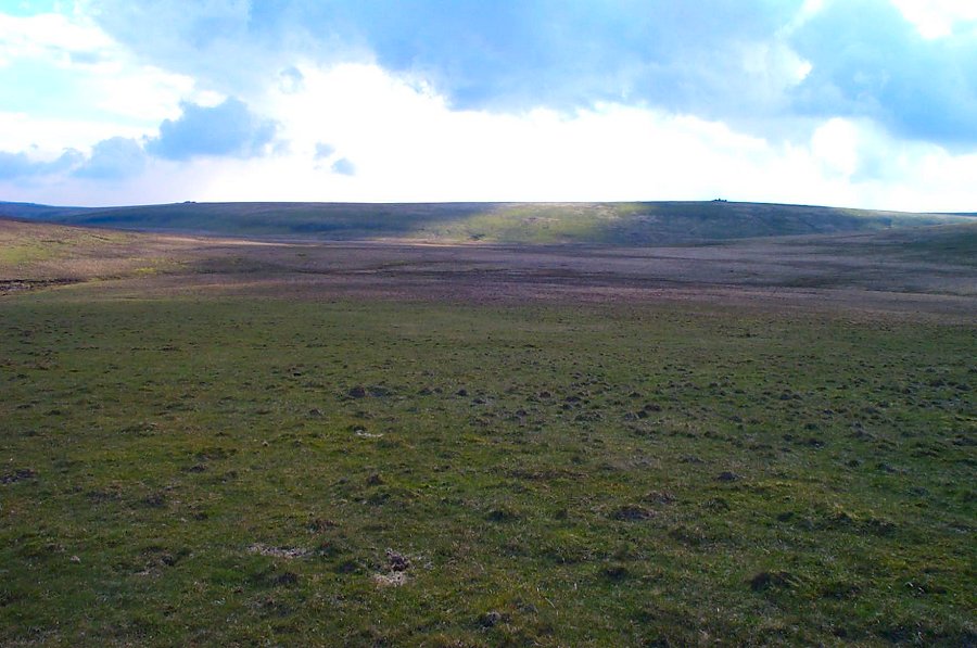
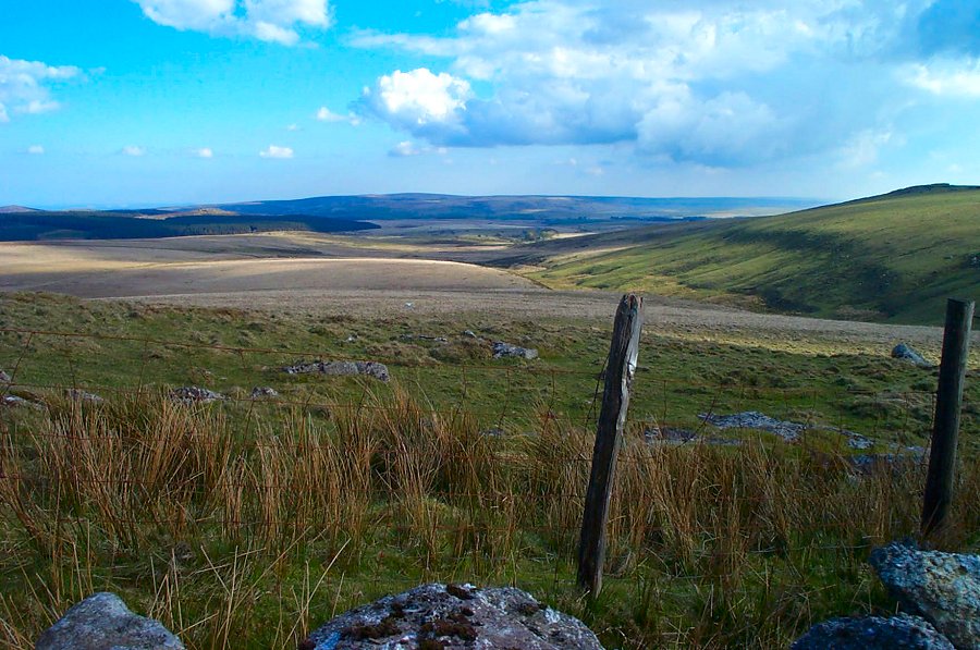
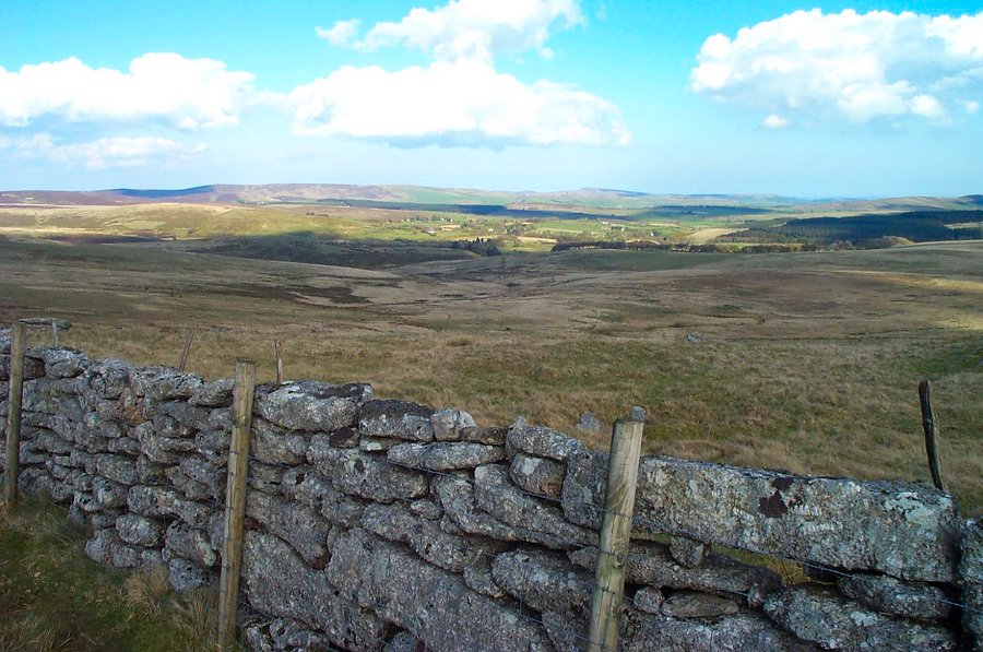
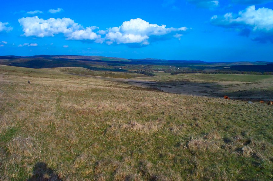
Cut HillCut Hill is in North Dartmoor. It is one of the most isolated places of Dartmoor. The panoramic views from the summit are among the best that Dartmoor offers. Cut Hill is largely surrounded by wet and tussocky ground. The high fen is not far away. The word Cut derives from an old drovers' track - Cut Lane - which cuts through the fen that separates the Dart and Tavy valleys and thus allowed the more easy passage of livestock across the moor.Start at the Postbridge car park SX 646788 and take the Drift Lane path to Broad Down and over to Sandy Lane Pass. Stay on the left bank of the East Dart and follow it upstream past the old tin mounds until you get to the waterfall of Kit Steps. Turn leftwards and follow the tributary stream up to the southern edge of Cut Hill. Cross it and walk around the eastern side of Cut Hill until you find Cut Lane on the northern side. Then head south over the top of Cut Hill, take the North West peat pass (not easy to find) and then walk over wet ground to Flat Tor. Head SE over more wet ground to Wildbanks Hill from where you head east towards Broad Down skirting yet more wet ground. Once at Broad Down return to Postbridge.This is a long walk and one not to be taken lightly in misty conditions. In bright sunshine - as the photos show - it is a pleasure to walk. There is some wet ground south of Cut Hill especially around Flat Tor and roughish ground on the NE slope of Cut Hill. Allow 5 - 6 hours for this walk, especially if you want to stop and admire the views along the way.A lot of this area lies in the military firing ground.
|
||||||||||||||||||||||||||||||||||||||||||||||||||||||||
All | Little | Shorter | Standard | Longer | Tors | Relics | History | Links | Panoramas | Home | ||||||||||||||||||||||||||||||||||||||||||||||||||||||||