 |
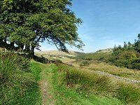
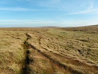
The path that heads out of Postbridge towards the moor. |
 |
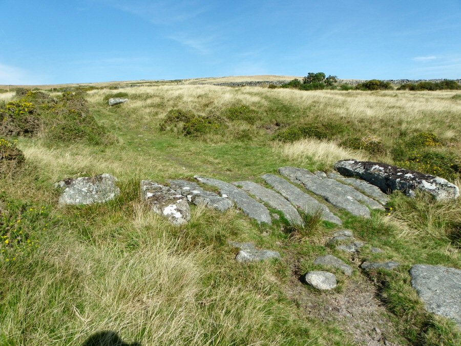
The granite bridge over the leat at SX 633797. |
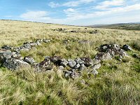 |
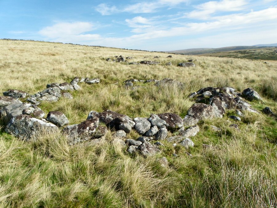
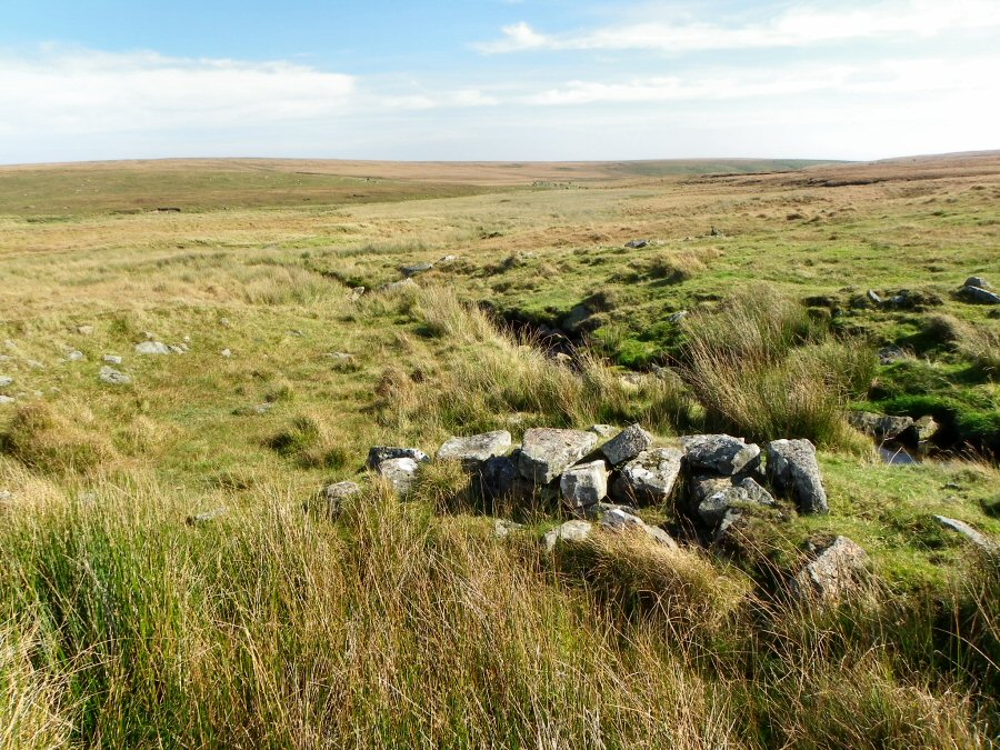
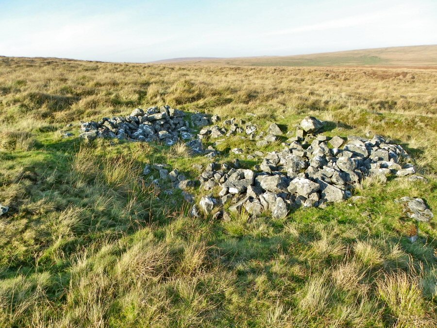
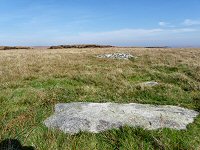
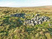
One of the hut circles on the side of Broadun at SX 635799. There's a whole village of these huts within the area. |
 |
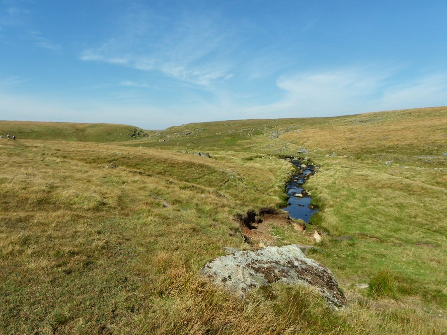
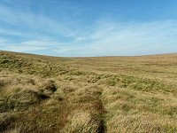
On the path that leads to Sandy Hole Pass. |
 |
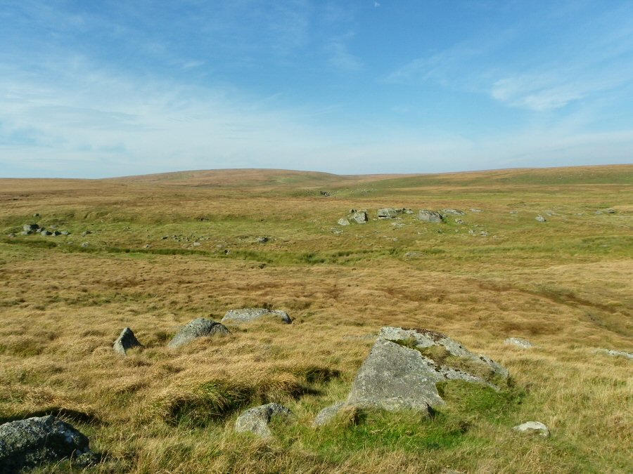
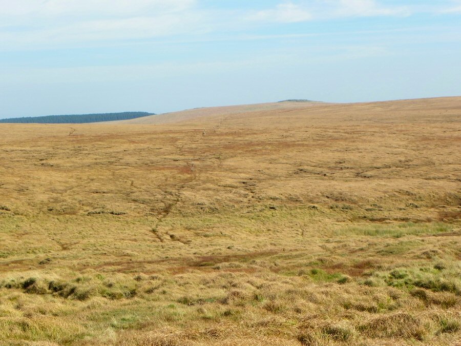
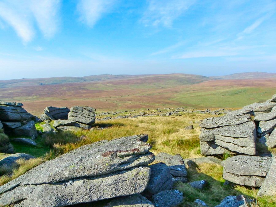
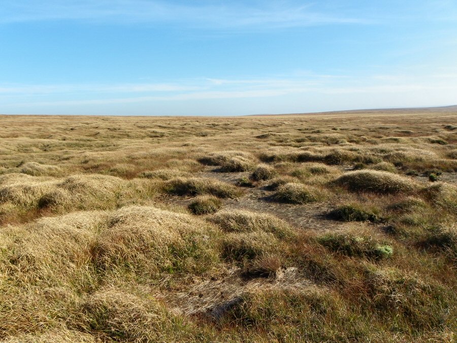
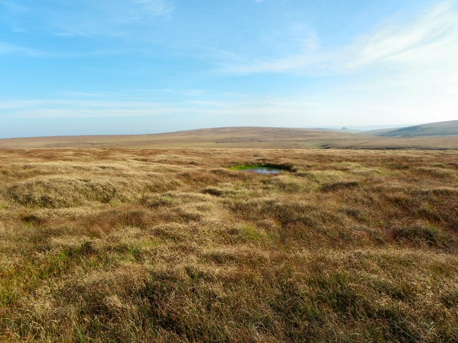
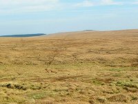
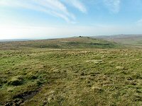
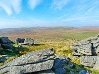
Looking over towards Cut Hill from SX 618815. This is where High Dartmoor begins. We are on the main plateau of the northern moor. |
 |
Just above Kit Steps waterfall at SX 614820. Cut Hill is straight ahead with a bit of a bog in between. This is upper East Dart country and it's very quiet and isolated up here. |
 |
The tinner's hut beside the stream on the SE side of Cut Hill at SX 610821. There's the remains of what looks like a little garden. On a nice sunny day it is easy to picture this as a nice romantic place to live. The reality would be more unpleasant. Isolated, wet and cold. A long way from the shops. |
 |
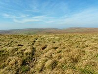
Looking eastwards from the side of Cut Hill over to the East Dart country. A bleak but fascinating landscape. |
 |
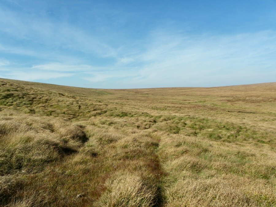
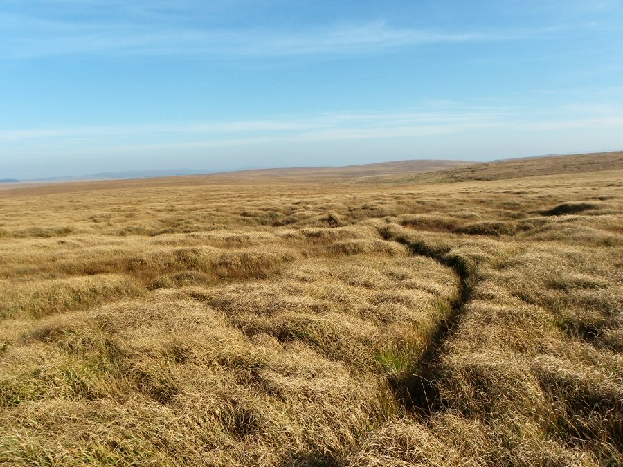
Moving up what the OS calls Cut Hill Stream at SX 604830 |
 |
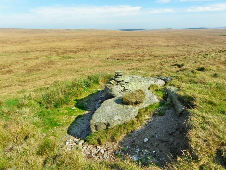
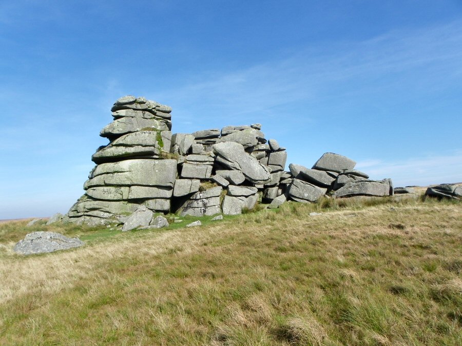
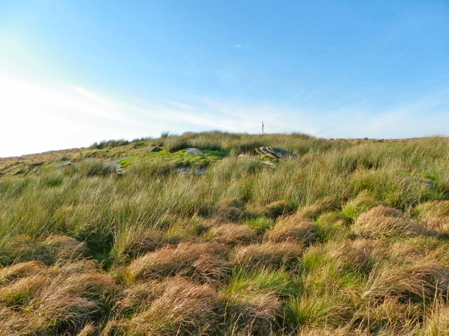
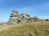
An granite outcrop with a small walker's cairn on top. On the NE
slope of Cut Hill at SX 602830. This country is very isolated. |
 |
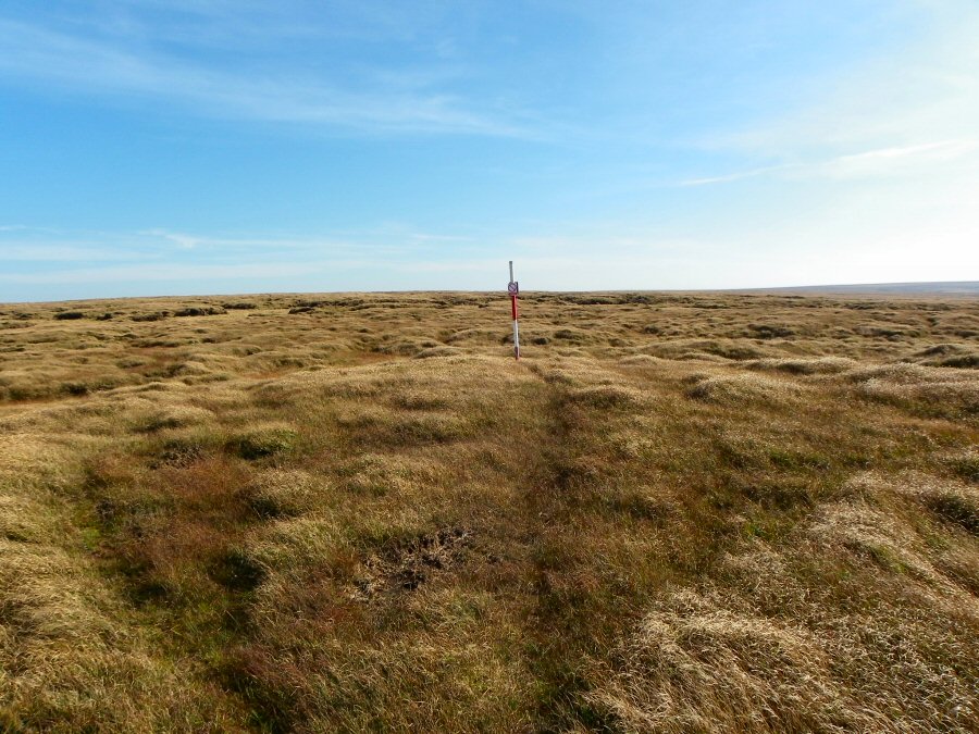
The point at which Cut Lane hits the top of the north rise of Cut Hill at SX 599831. This joins the upper parts of the Dart and Tavy valleys. |
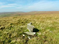 |
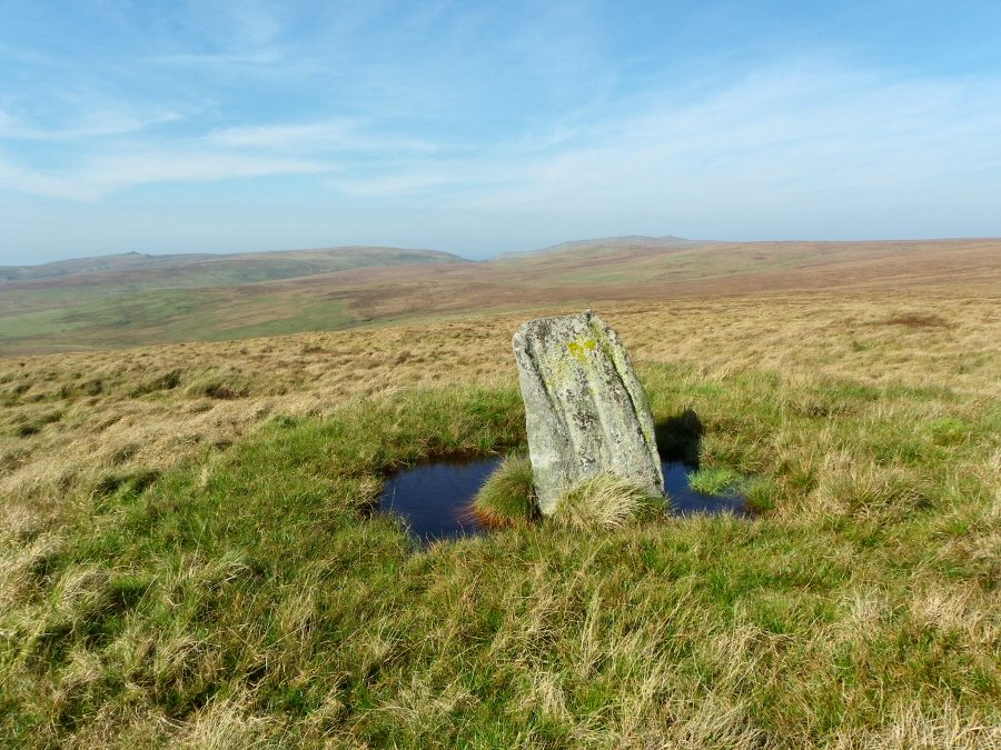
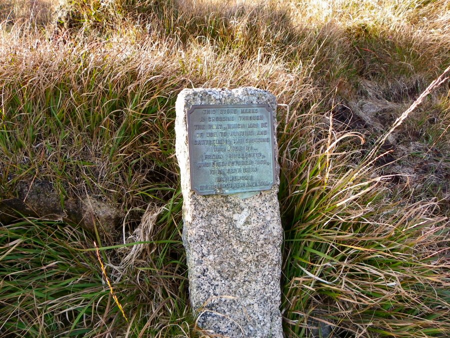
The two markers of Cut Lane. |
 |
The northwards view from near Cut Lane. The West Okement valley is
immediately above the marker stone, with Yes Tor to the right and
Great Links Tor on the far left. On a sunny day the view from here is simply superb. |
 |
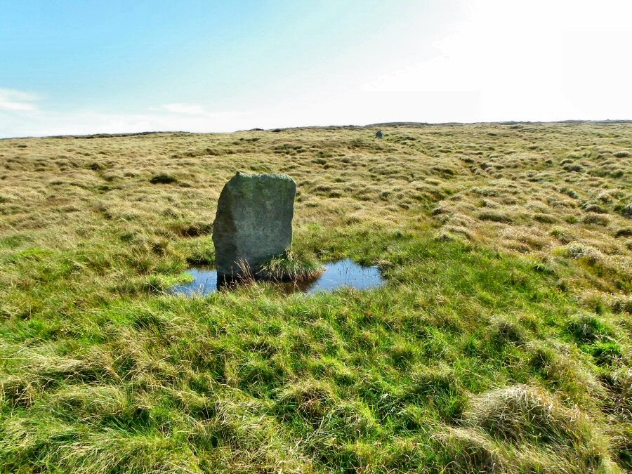
Another shot of the marker. The edge of Cut Hill's peatline is on the horizon. |
 |
The top of Cut Hill. Lots of eroded peat which gives the landscape a curiously damaged look. |
 |
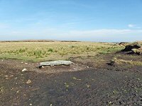
The stone in the foregound is the JEW stone - because of the letters inscribed onto it. What it means no one knows. It seems that the stone was originally one stone of an early Neolithic stone row that was erected on top of Cut Hill in conditions that were different to what we find now. Click here to read more information about this from the excellent Legendary Dartmoor site. |
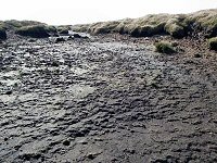 |
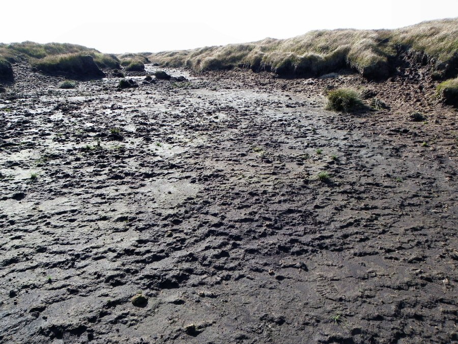
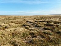
Parts of the top of Cut Hill have very unappealing sticky and glutinous peaty mud that lie between the grassy peat hags. It almost looks like a moonscape. |
 |
Looking over towards Fur Tor from the top of Cut Hill. It's an easy walk from here down to Fur Tor. |
 |
The stunning view from the western rocks of Fur Tor. In the far distance lies Tavy Cleave. |
 |
The main pinnacle of Fur Tor. |
 |
The beginning of the walk back from Fur Tor to Postbridge. This always makes me think of the punchline of that old advert for Badger Beer "and I ain't looking forward to the journey home". 2 walkers are approaching - father and son. They're staying the night here. |
 |
This is where the ground gets tough. Peat hags that have to be climbed up and over. Not the place to twist an ankle. |
 |
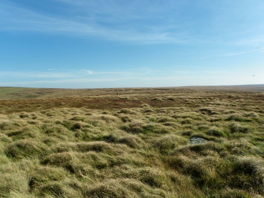
And the rough ground continues. This is the infamous area above Tavy head and is the result of the run off from the south side of Cut Hill that drains slowly into the Tavy. |
 |
30 minutes later and this track leads down towards West Dart head. The walking gets easier now. SX 599819. |
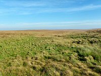 |
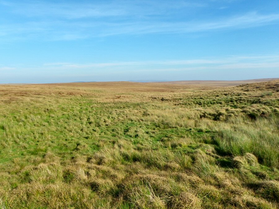
The green oasis of West Dart head. Well it looks green and inviting on this lovely sunny day but it'll look a bit different in January. |
 |
This is the start of the West Dart. This is almost like a little shrine. Very quiet apart from the trickle of water squeezed out from the peat layers above. |
 |
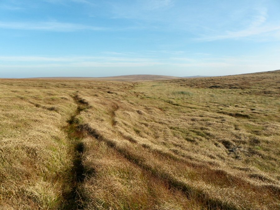
The track that runs alongside the upper West Dart. We're heading SE and will soon be turning off to make for Flat Tor. |
 |
More wet and awkward ground - SX 605815 |
 |
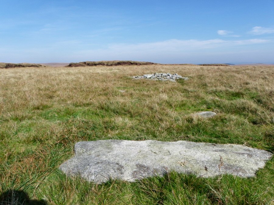
The hardly distinct rocks of Flat Tor. |
 |
One of the peat pass markers for the Cowflop Bottom peatpass. When first made they were a great asset to moor people. Today they are more likely to be wetter and more unpleasant to walk along than the surrounding area. |
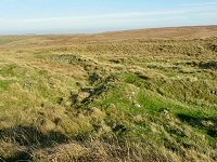 |
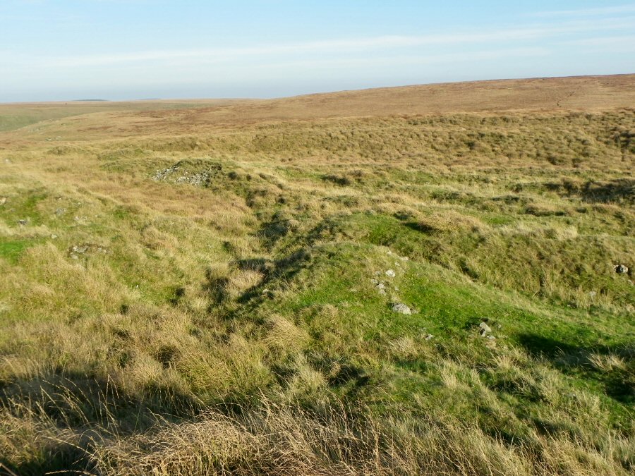
Old tin workings in Cowflop Bottom. |
 |
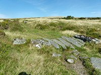
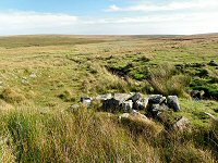
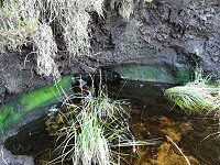
Remains of a tinner's hut in Cowflop Bottom - SX 614814 |
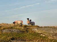 |
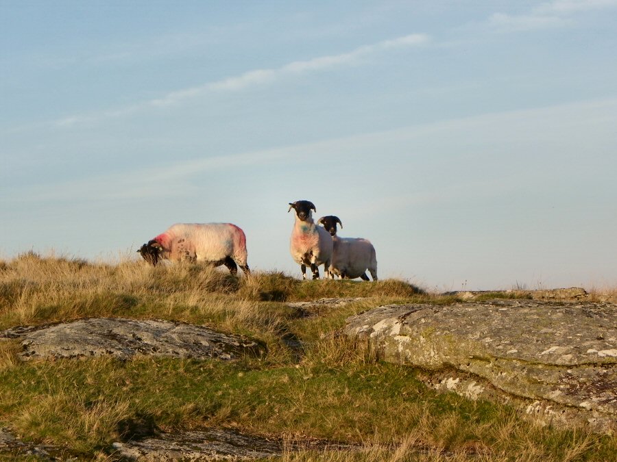
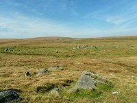
Slightly wary sheep on the top of Broadun. |