All | Little | Shorter | Standard | Longer | Tors | Relics | History | Links | Panoramas | Home
|
||||||||||||||||||||||||||||||||||||||||||||||||||||||
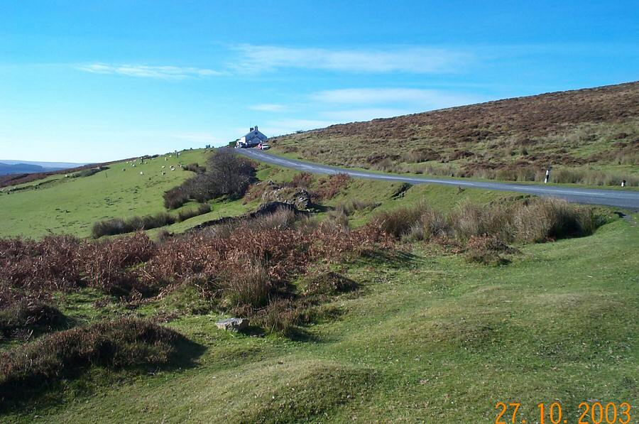
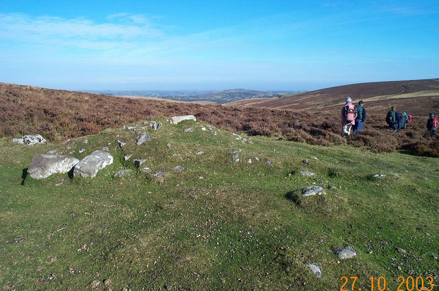
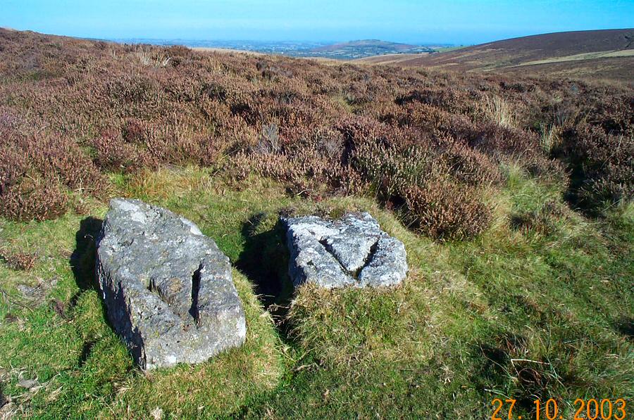
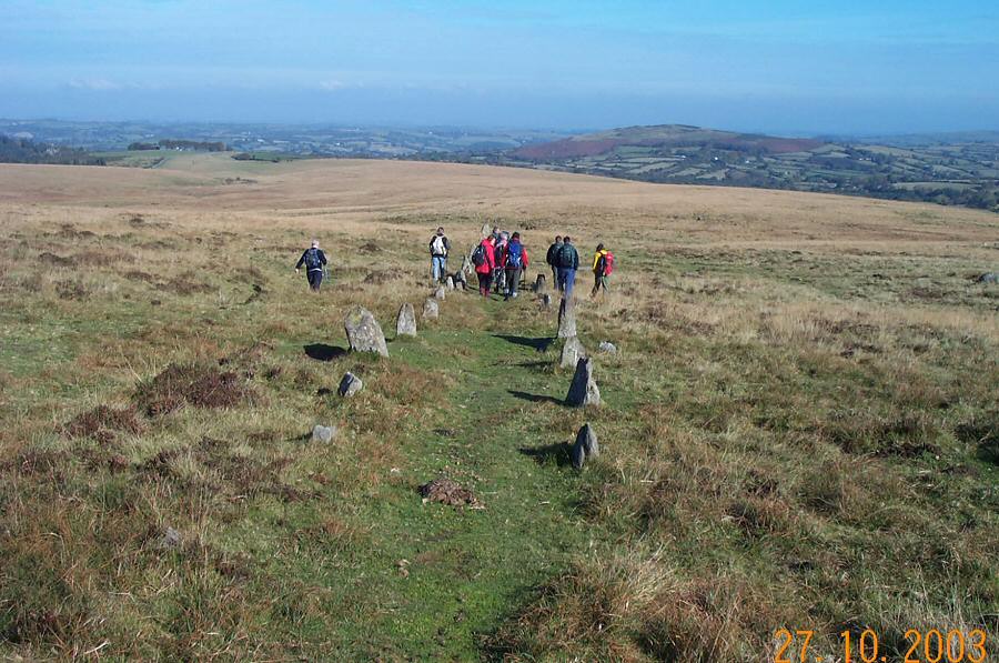
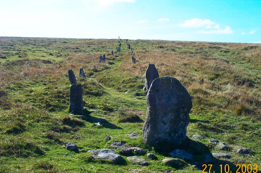
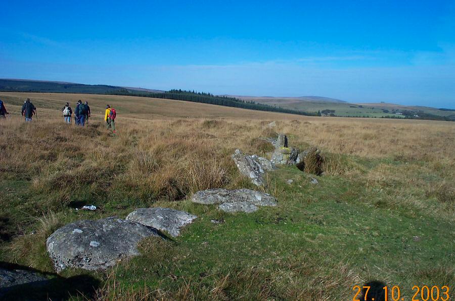
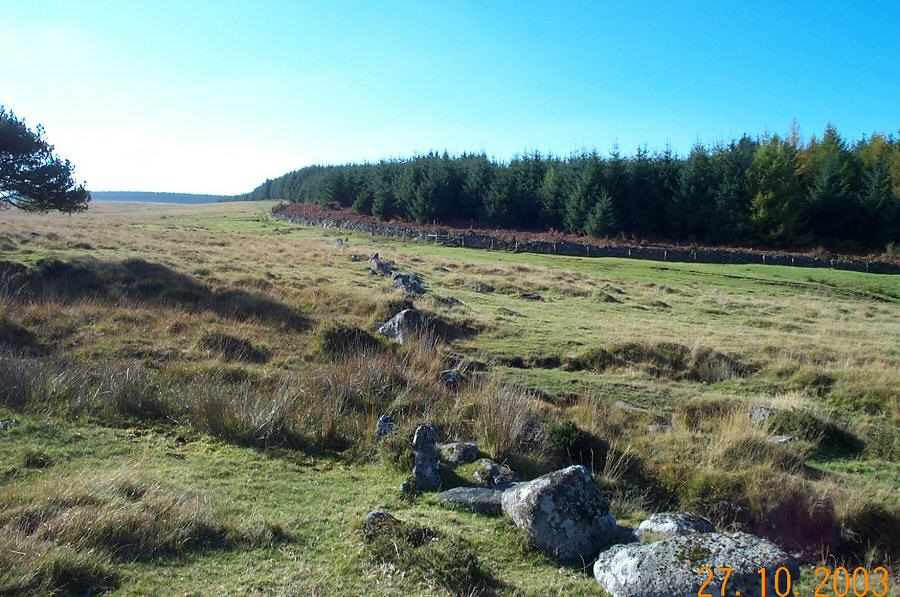
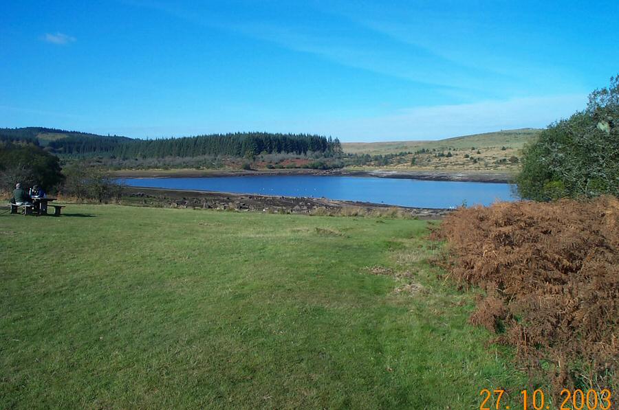
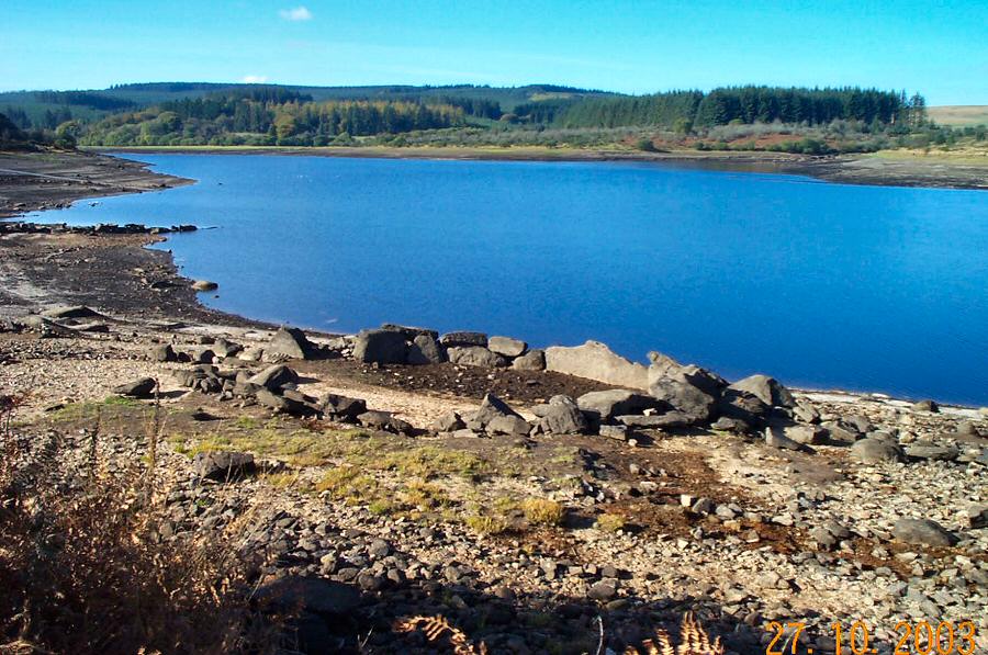
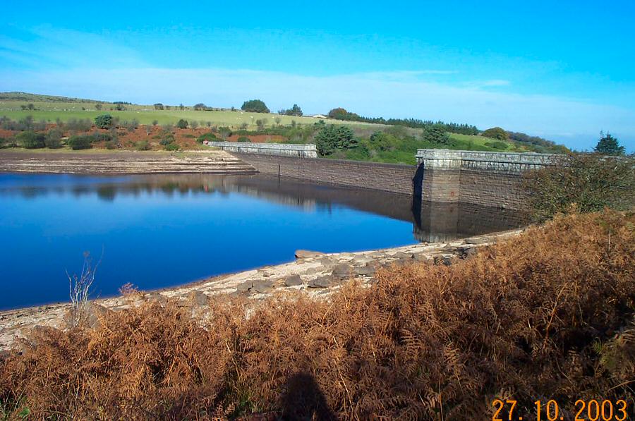
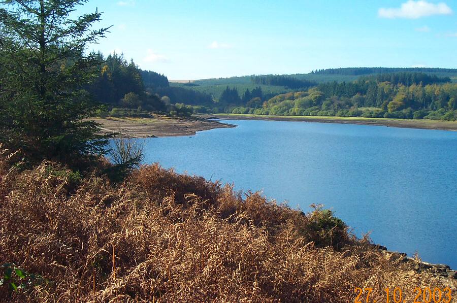
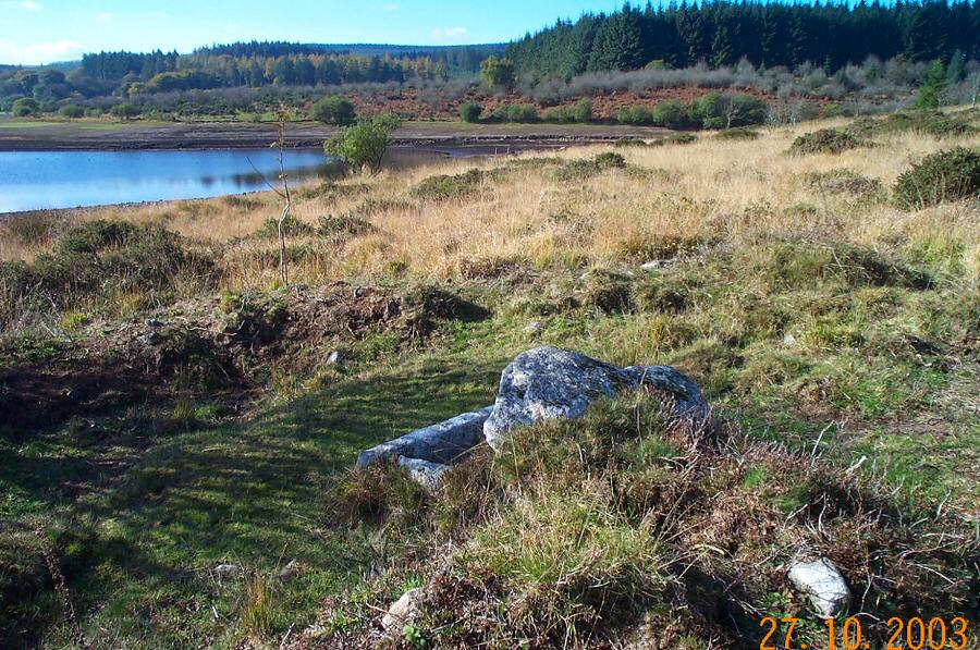
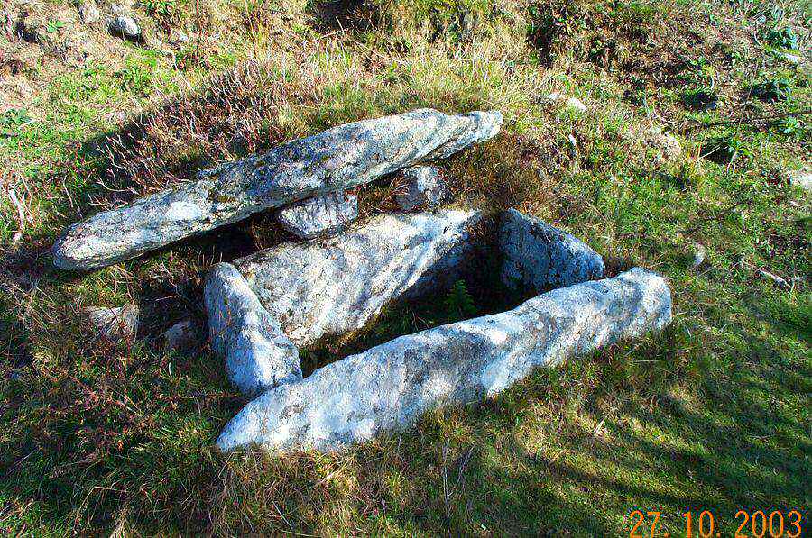
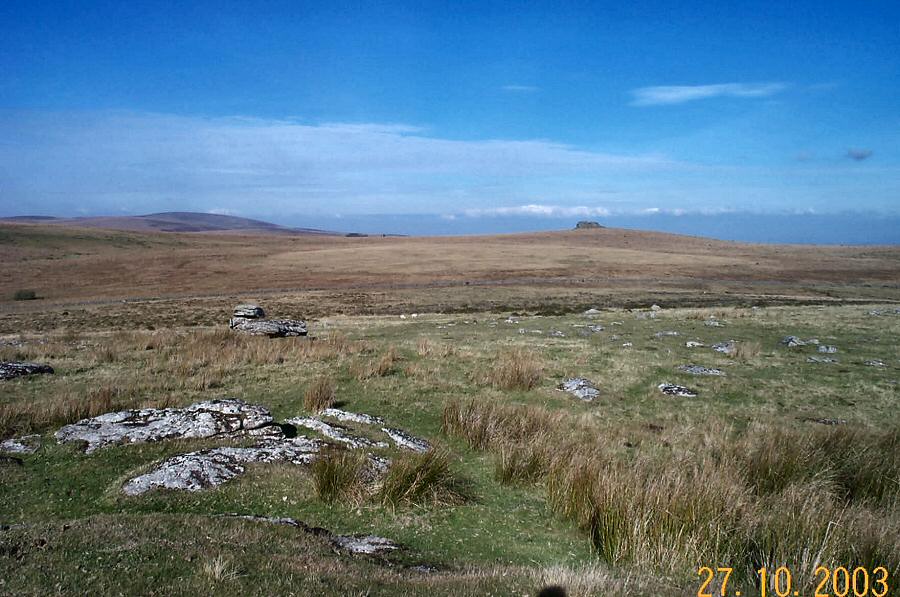
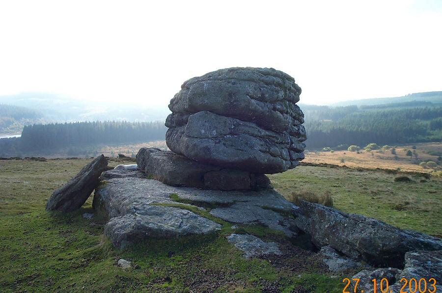
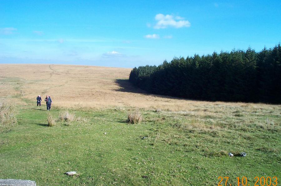
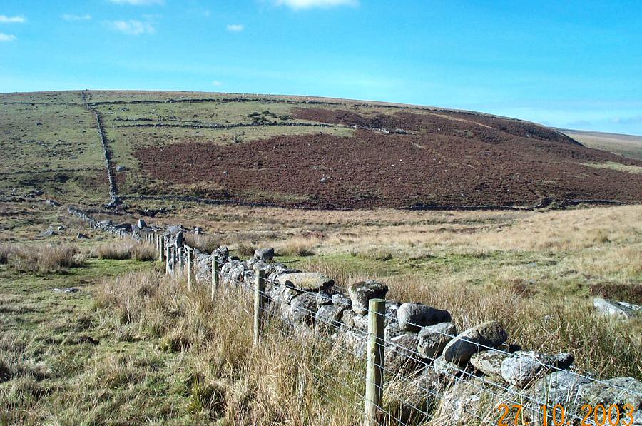
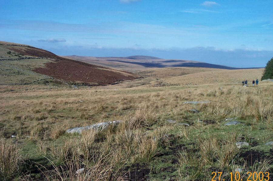
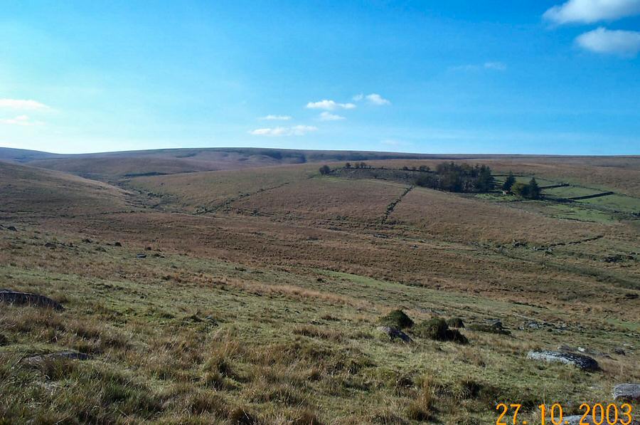
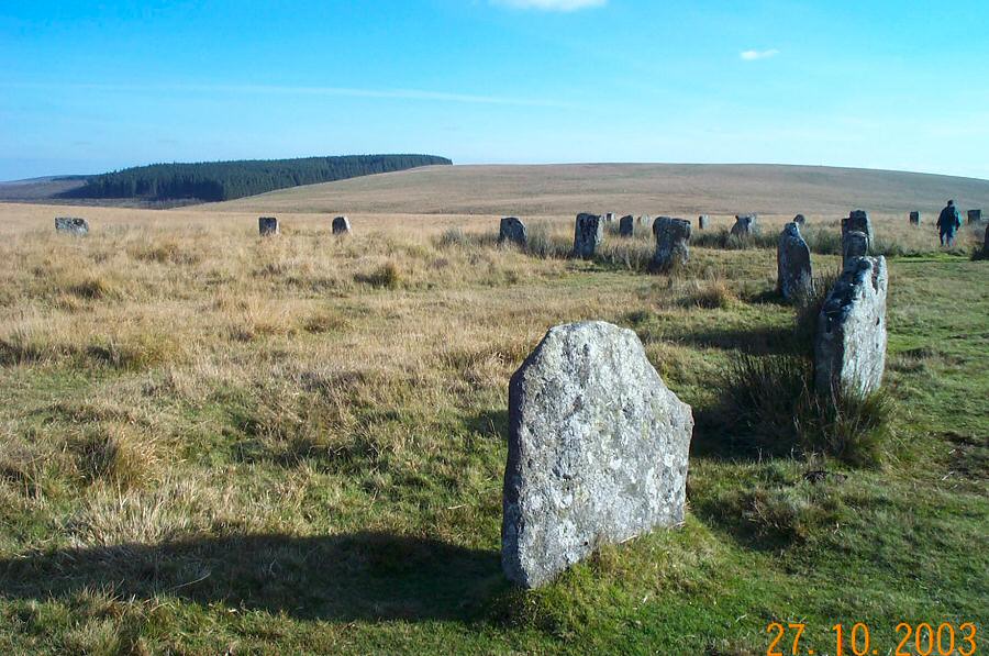
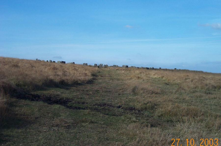
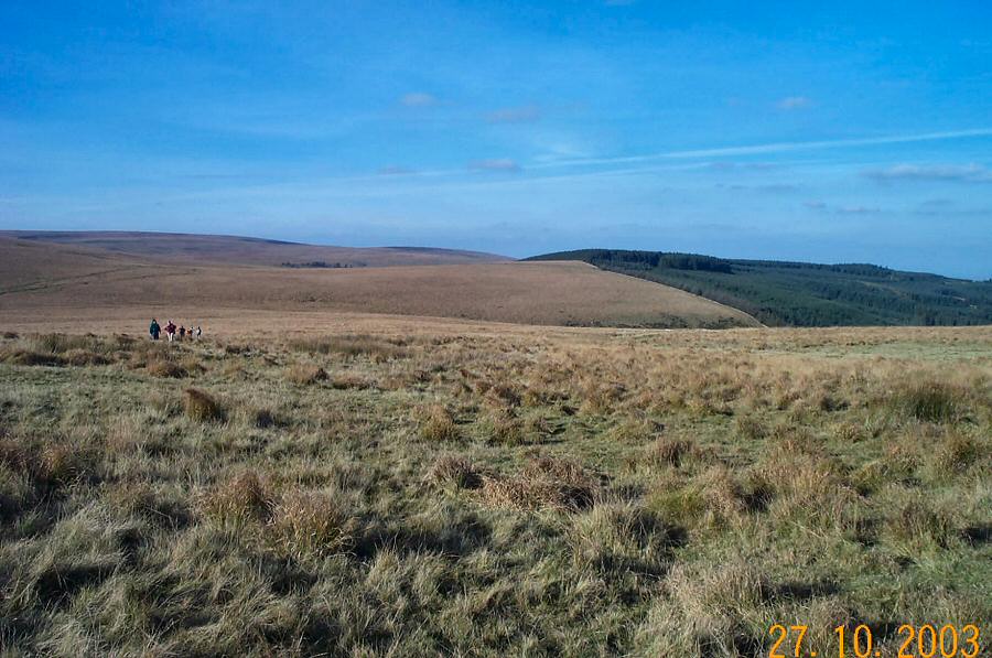
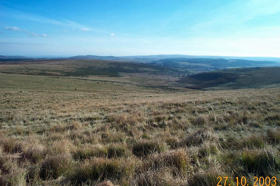
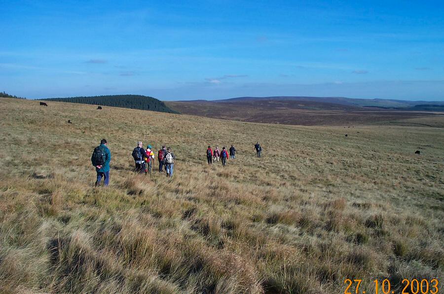
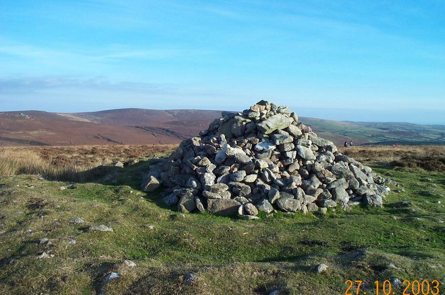
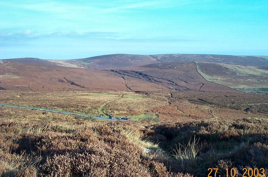
FernworthyFernworthy attracts many visitors. The reservoir and forest make for an ideal summer picnic spot, whereas the easy access and parking allow most people the chance to do a pleasant little walk in nice surroundings. In this walk we walk around Fernworthy and see how the forest and reservoir fit in with the moorland context. Fernworthy is quite big so to perambulate it all is not a short easy walk. There are a lot of old remains to be seen in this area - particularly of the Bronze Age.Park at King's Oven car park SX 676811 - about 100 NE of the Warren House Inn. Head north over Hurston Ridge, walk over part of Chagford Common and make for the entrance car park to Fernworthy near Metheral. We then headed around the dam to the north side of the reservoir, past the cist and made our way to Thornworthy Tor. Admire the views and then head NW and then SW towards Teignhead Farm keeping the forest on your left all the way (in fact we do this all the way back to King's Oven). The Grey Wethers stone circle is next and keeping in a SE direction we then tramp up the slope of White Ridge which is the highest point of this walk. The final leg is still on a SE bearing towards Water Hill and back down to the car park.The walk is about 9 miles and involves a couple of graded climbs. There is some rough ground in places, but it isn't very wet. No military areas nearby.
|
||||||||||||||||||||||||||||||||||||||||||||||||||||||
All | Little | Shorter | Standard | Longer | Tors | Relics | History | Links | Panoramas | Home | ||||||||||||||||||||||||||||||||||||||||||||||||||||||