All | Little | Shorter | Standard | Longer | Tors | Relics | History | Links | Panoramas | Home
|
||||||||||||||||||||||||||||||||||||||||||||||||||||||||||||||||||
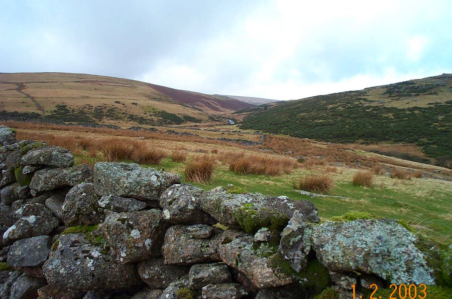
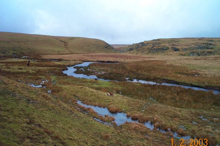
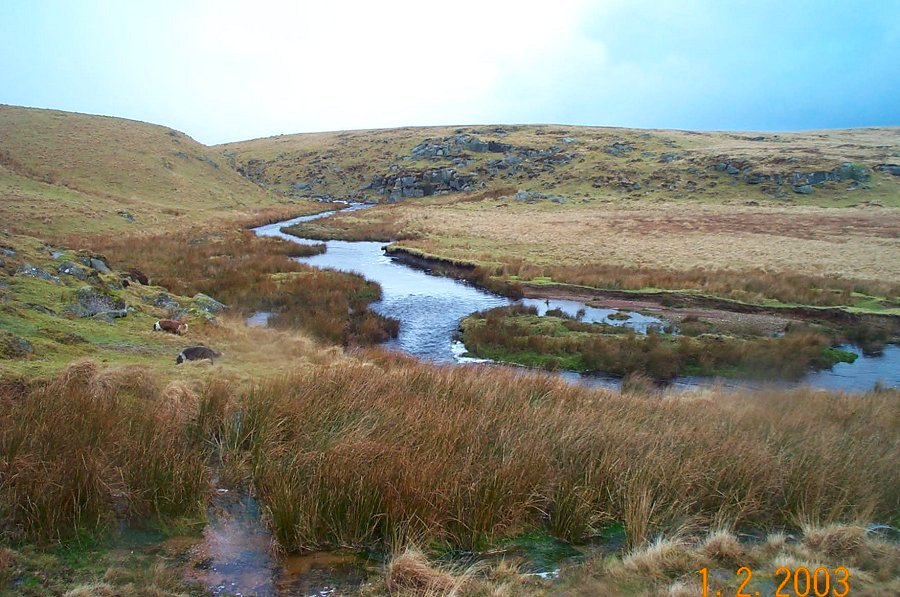
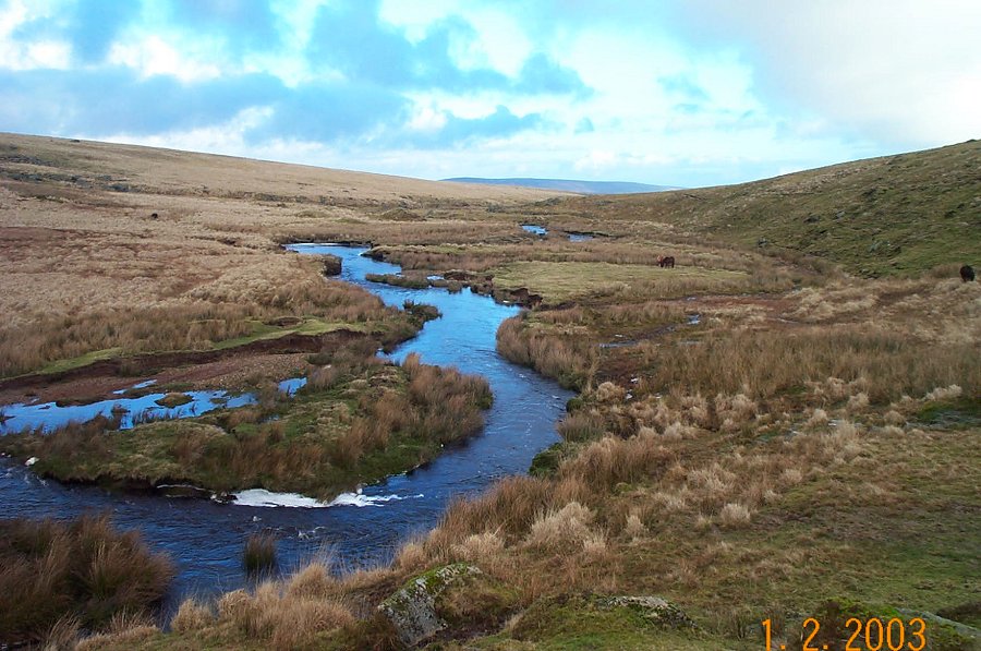
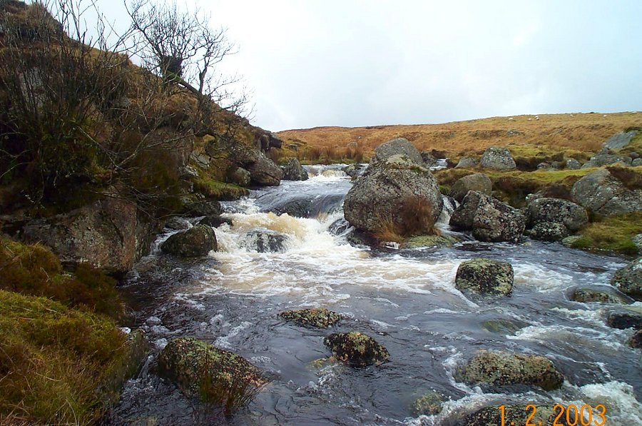
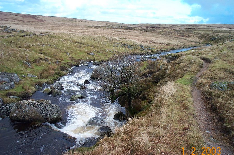
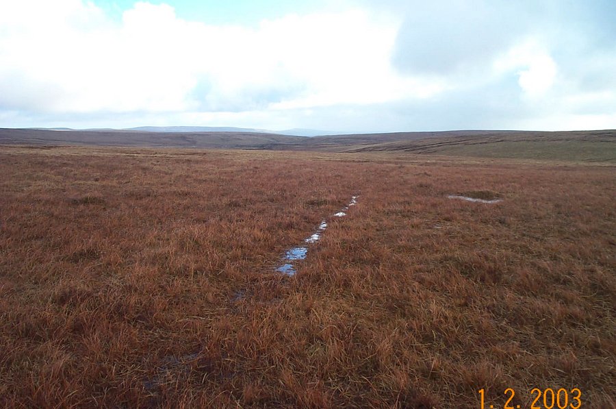
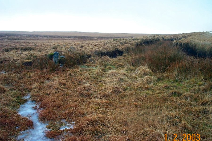
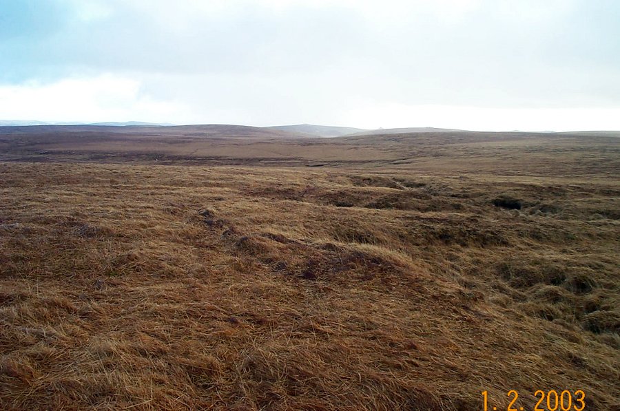
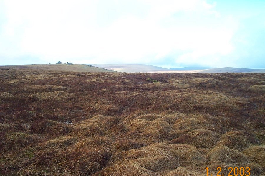
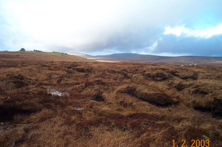
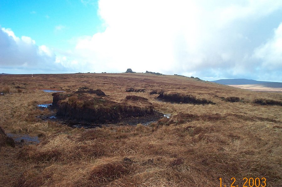
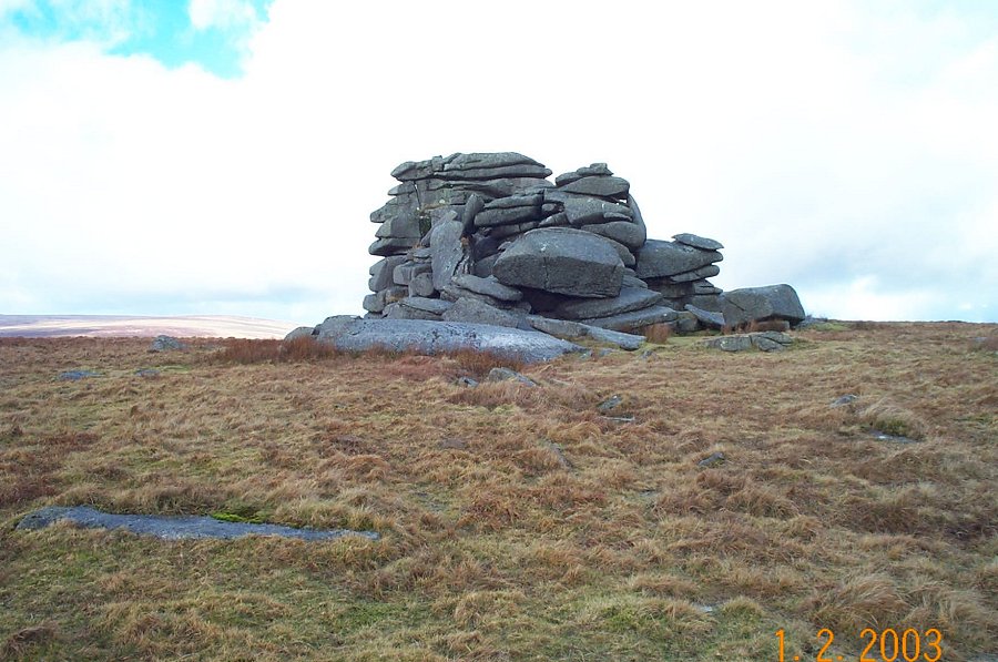
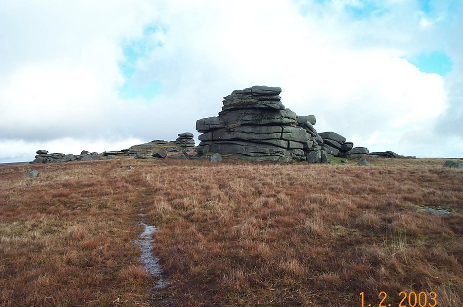
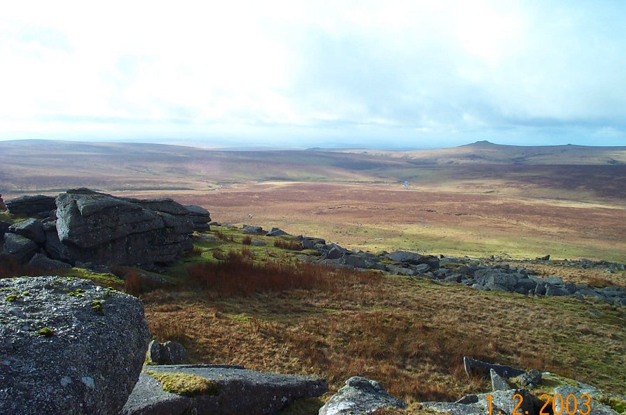
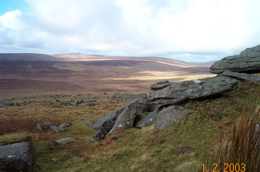
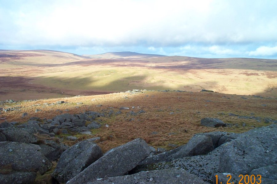
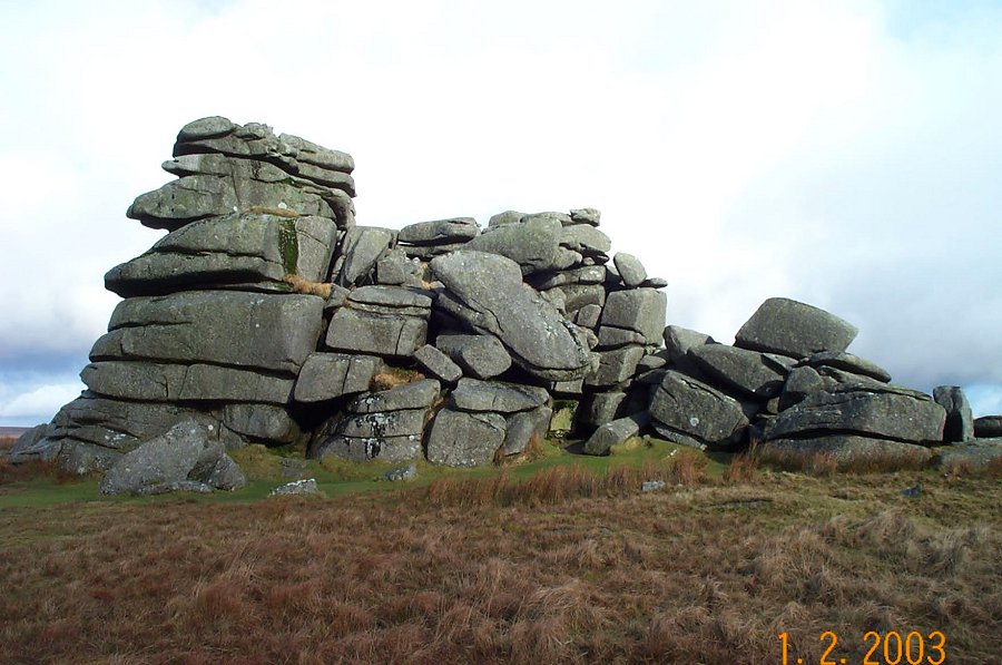
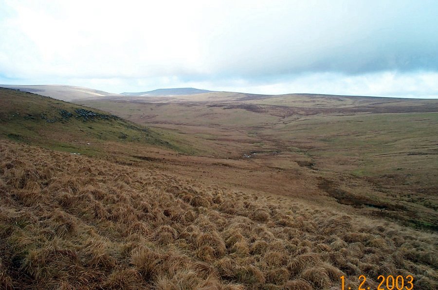
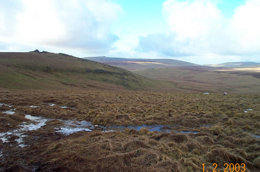
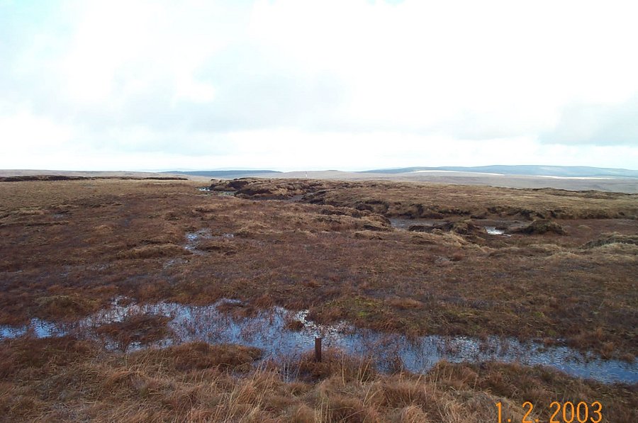
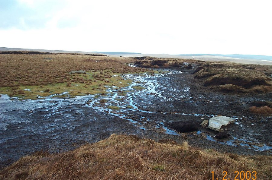
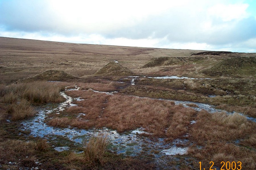
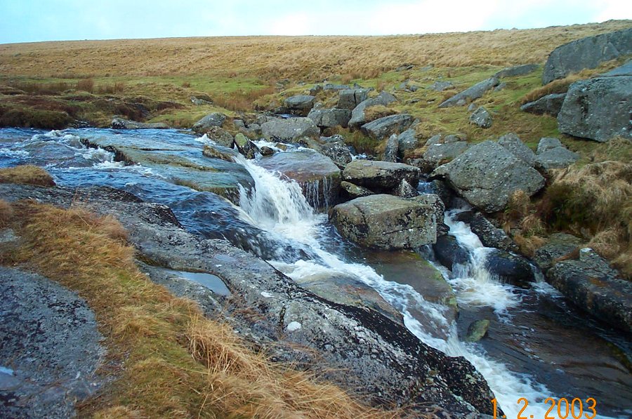
Fur TorFur Tor is one of the most remote places in North Dartmoor. It is perhaps the grandest of Dartmoor tors as it looks down from its height onto the Amicombe stream and the moor beyond. The views over North Dartmoor are absolutely fantastic. Nowhere else in Dartmoor do you get such an impressive feel of majesty and isolation. Fur Tor (or Vwr - the great tor, or Feor - the far distant tor) is not an easy place to get to. It is placed in the centremost part of the northern moor and is largely surrounded by difficult terrain, especially the peat hags around South Tavy head.Start at the Postbridge car park SX 646788 and take the Drift Lane path to Broad Down and over to Sandy Lane Pass. Stay on the left bank of the East Dart and follow it upstream past the old tin mounds until you get to the waterfall of Kit Steps. Turn leftwards and follow the tributary stream up to the southern edge of Cut Hill. Cross the southern flank of Cut Hill in a NW direction using the North West Passage if you can find it. You'll see the rocks of Fur Tor appear as you reach the top of the ridge. There's rough ground all the way from here to Fur Tor. An easier way back is to use the Cut Combe path back to Cut Hill and then head back down the easterly side of Cut Hill towards the East Dart and Kit Steps. Then back to Postbridge.This can be a major walk and should not be undertaken lightly. Allow about 6 hours. Some of the ground around Cut Hill and Fur Tor is not easy. Be wary about becoming mistbound in this wilderness. Some of the walk lies in an army range.
|
||||||||||||||||||||||||||||||||||||||||||||||||||||||||||||||||||
All | Little | Shorter | Standard | Longer | Tors | Relics | History | Links | Panoramas | Home | ||||||||||||||||||||||||||||||||||||||||||||||||||||||||||||||||||