All | Little | Shorter | Standard | Longer | Tors | Relics | History | Links | Panoramas | Home
|
||||||||||||||||||||||||||||||||||||||
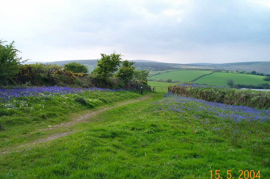
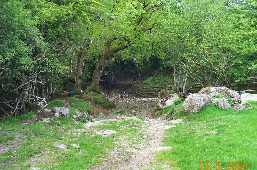
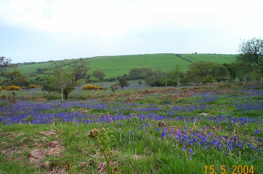
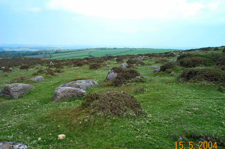
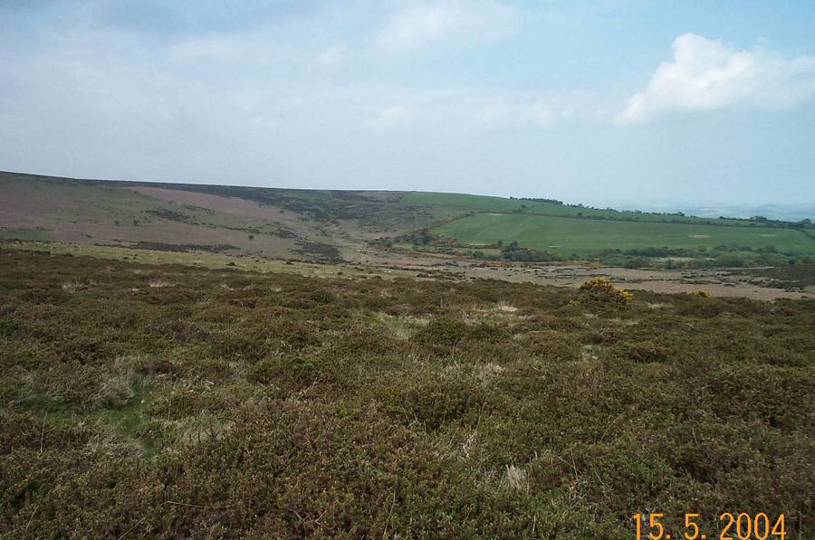
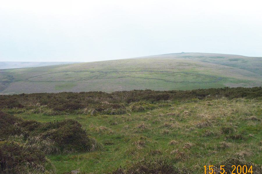
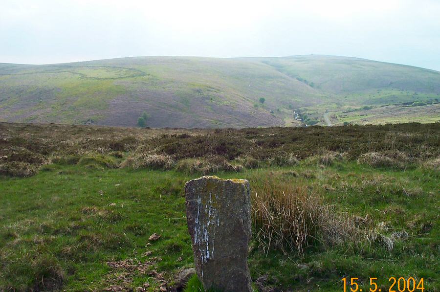
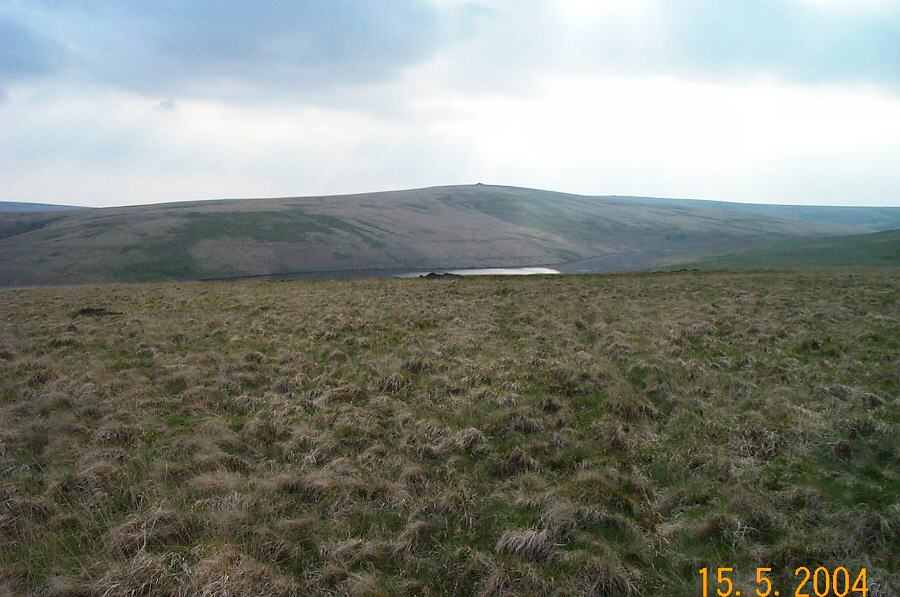
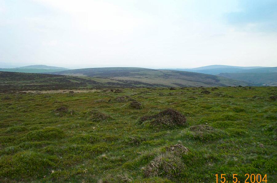
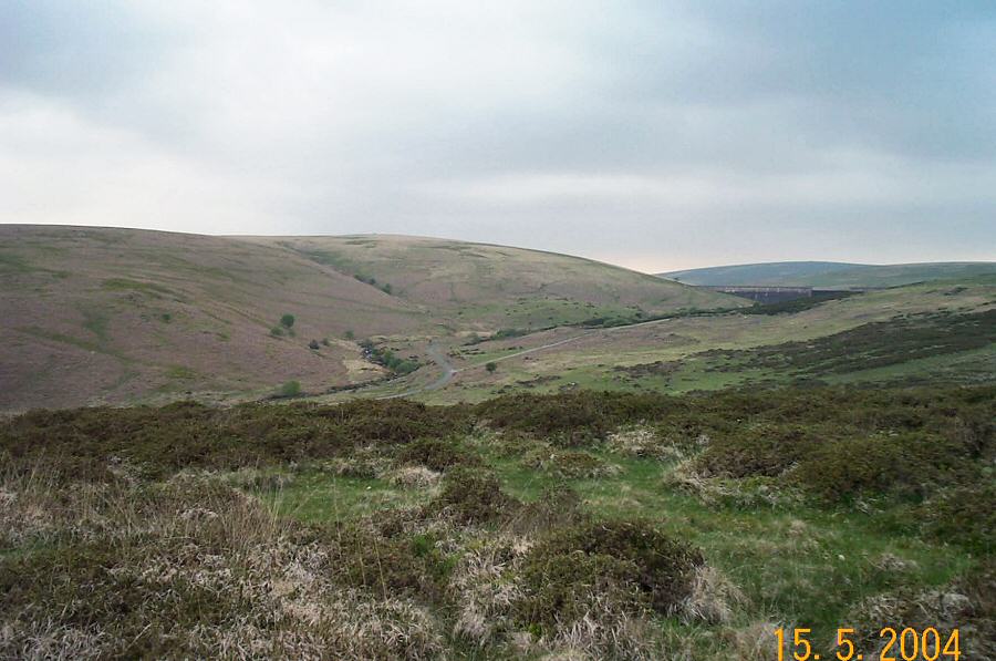
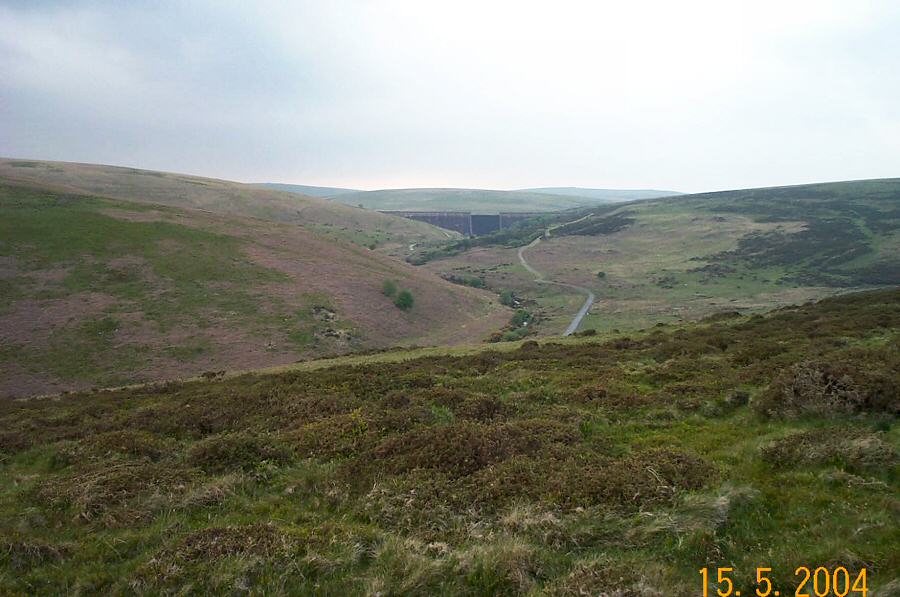
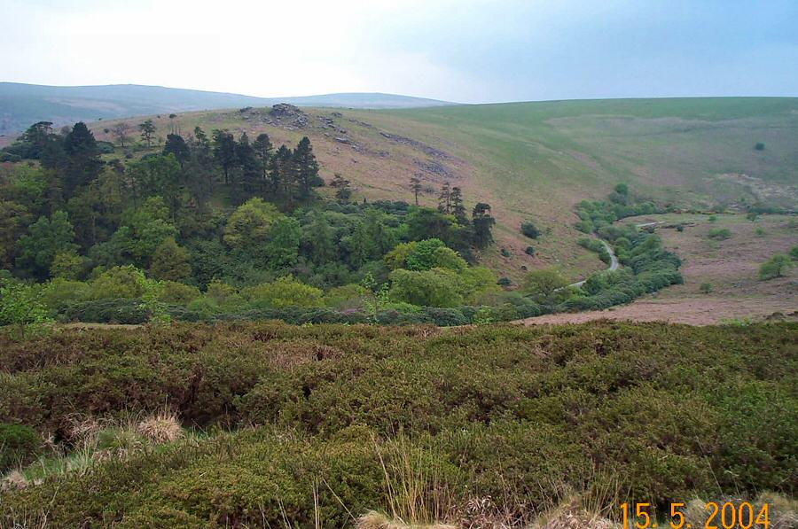
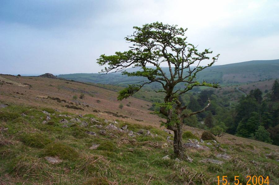
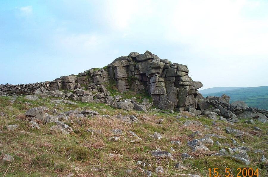
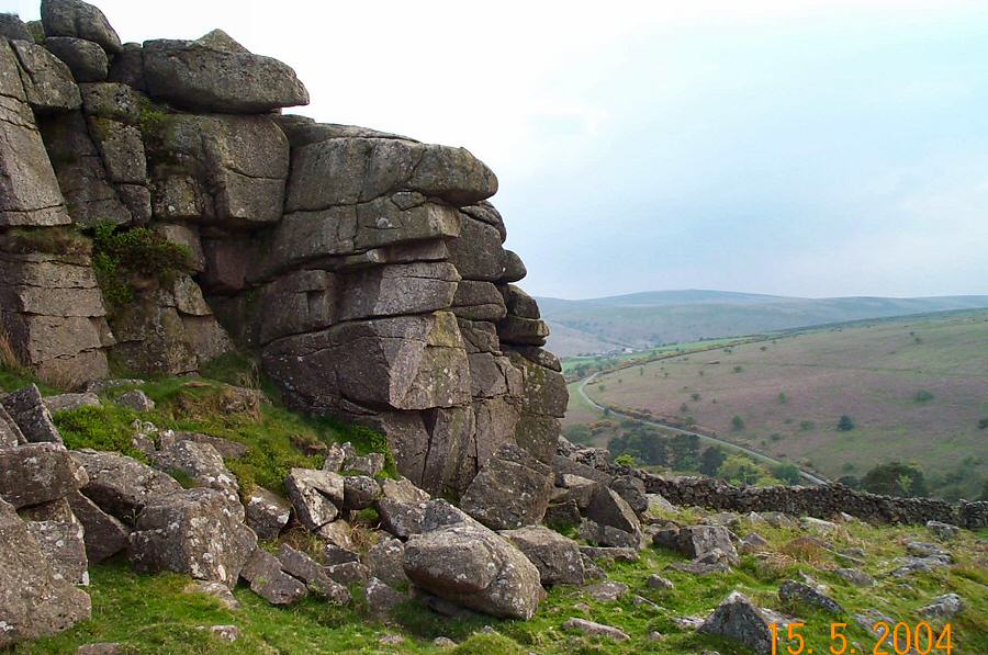
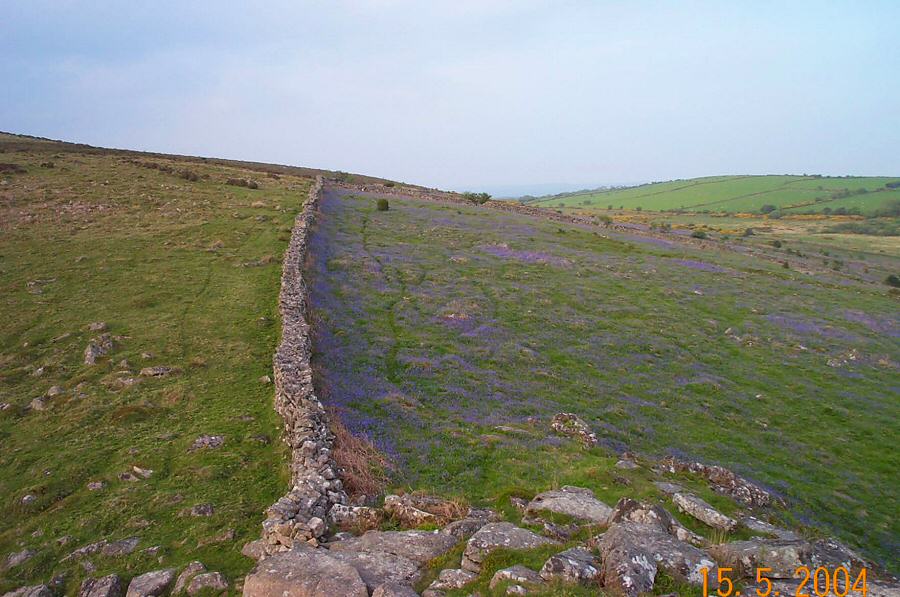
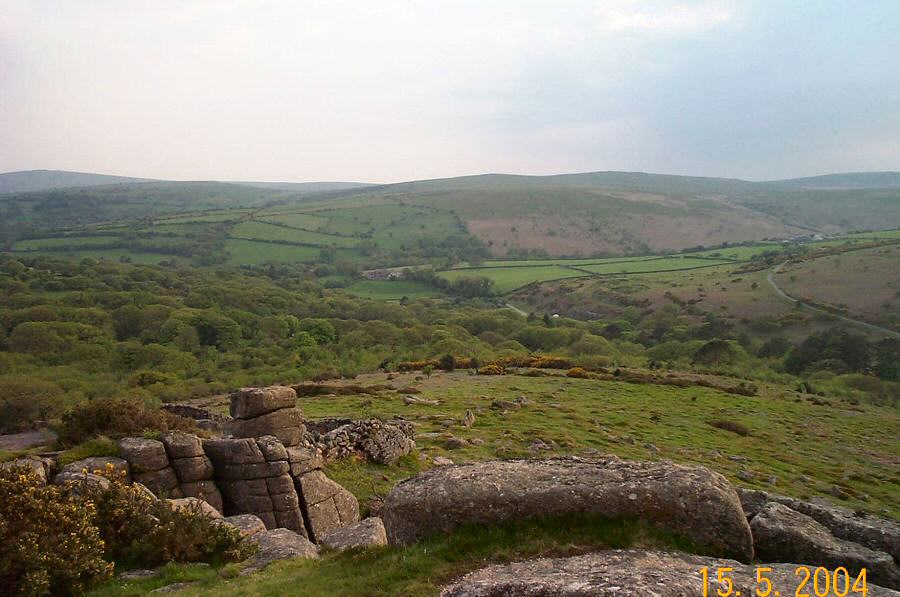
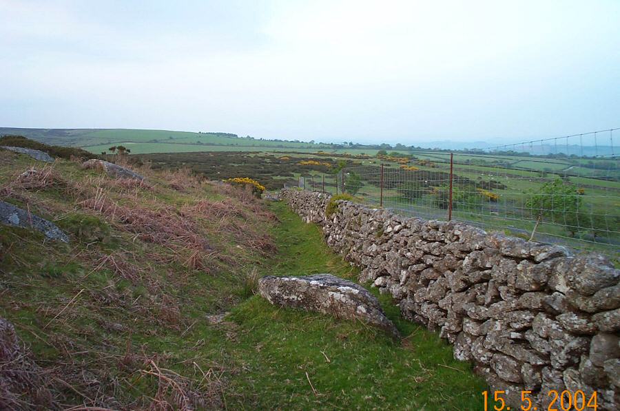
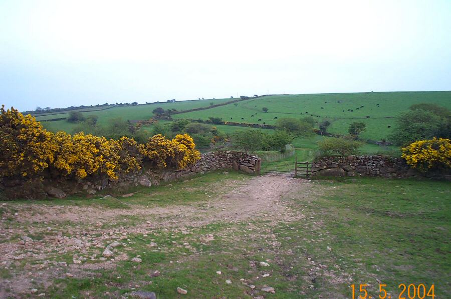
Gripper's HillGripper's Hill (SX 685656) is not the most gripping place on Dartmoor. It is on the SE edge of the moor and is a rather featureless and bland hill that overlooks the Avon Dam and from where there are some good views over towards Huntingdon and Eastern Whitebarrow. Nonetheless, to get there makes for a good walk that could be very pleasant on a summer's evening. If you keep to the west side of Dockwell Ridge then there is more to see as you walk above the path that leads to the Avon Dam. Gripper's would be an ideal start to a longer walk along the ridges of South Dartmoor - ie. Pupers, Snowdon and Ryders. It's worth visiting Shipley Tor which is only really accessible from the north. Shipley Tor is a pleasant tor with some very good views and is worth a small walk all by itself.Park offroad (SX 701633) near Dockwell farm. Walk down the field into a small valley and then bear NW alongside Dockwell Ridge. Head for the top of the hill and then bear straight north towards Gripper's Hill. Return back a similar route but bear round to the west side of Peathy's Path and Dockwell Ridge. There are good views over the Avon valley below from here. Make for Shipley Tor and then follow the drystone wall back (eastwards) towards Dockwell.An easyish walk of about 3 -4 miles. No rough ground although there are a few granite boulders around Shipley Tor that may be awkward in full undergrowth. There's lots of awkward gorse around - particularly on Dockwell Ridge. Obviously, if the mist comes down then you'll need to get a grip on the situation.No army ranges anywhere near - so you can walk here whenever you like.
|
||||||||||||||||||||||||||||||||||||||
All | Little | Shorter | Standard | Longer | Tors | Relics | History | Links | Panoramas | Home | ||||||||||||||||||||||||||||||||||||||