All | Little | Shorter | Standard | Longer | Tors | Relics | History | Links | Panoramas | Home
|
||||||||||||||||||||||||||||||||||||||||
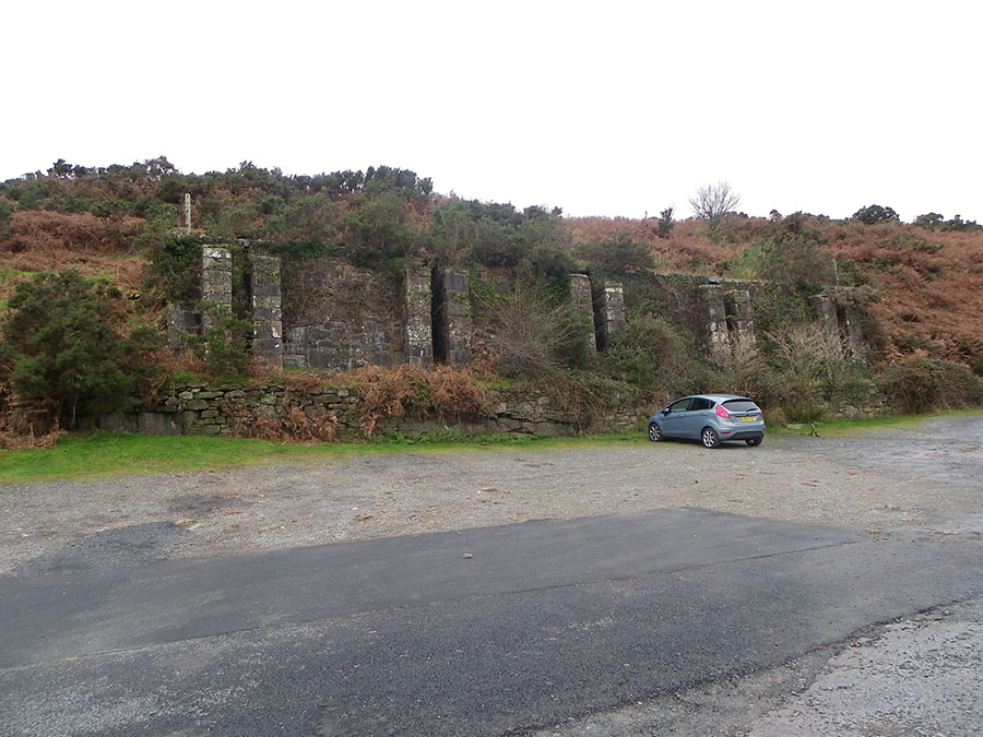
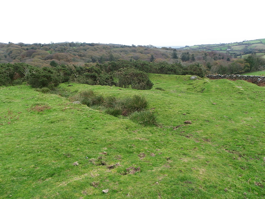
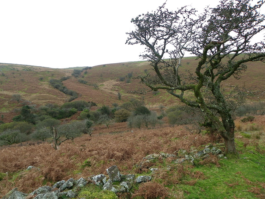
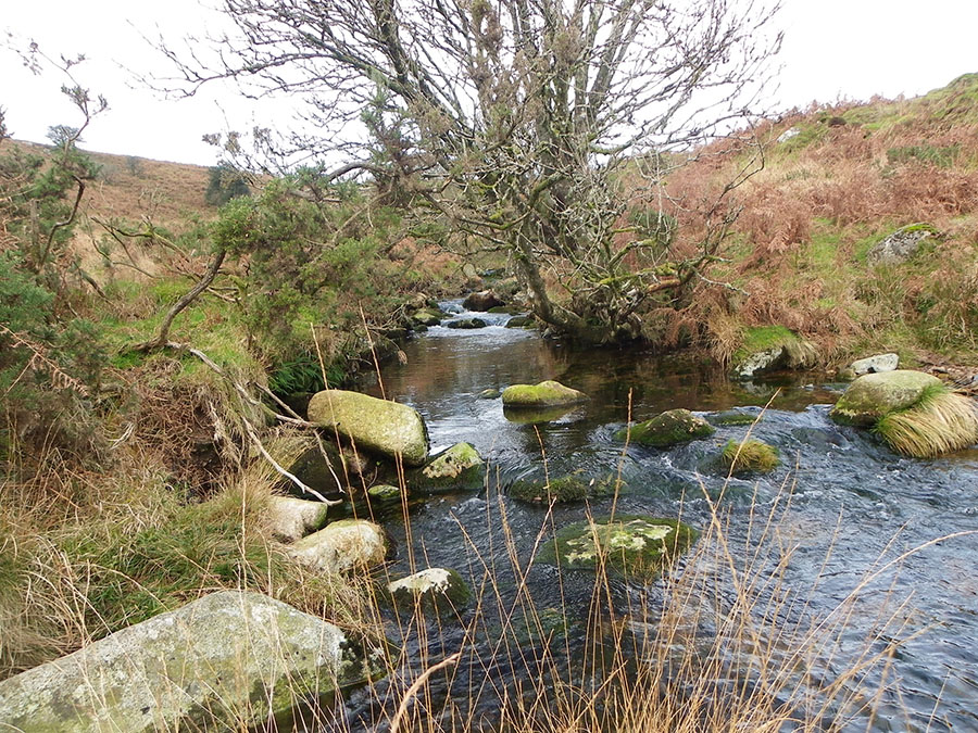
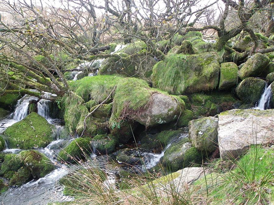
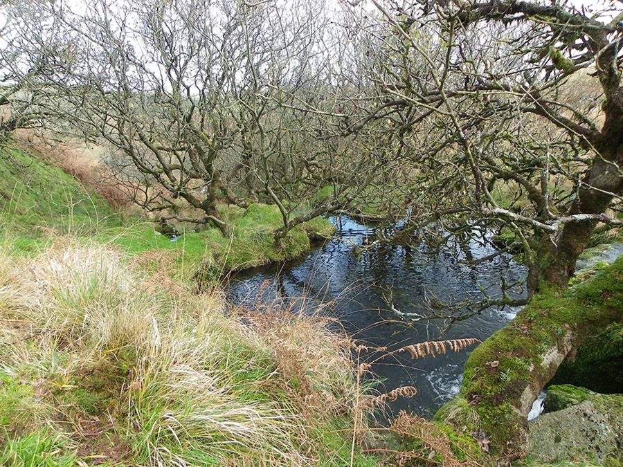
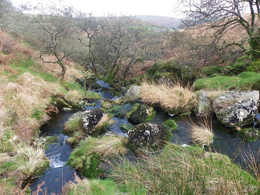
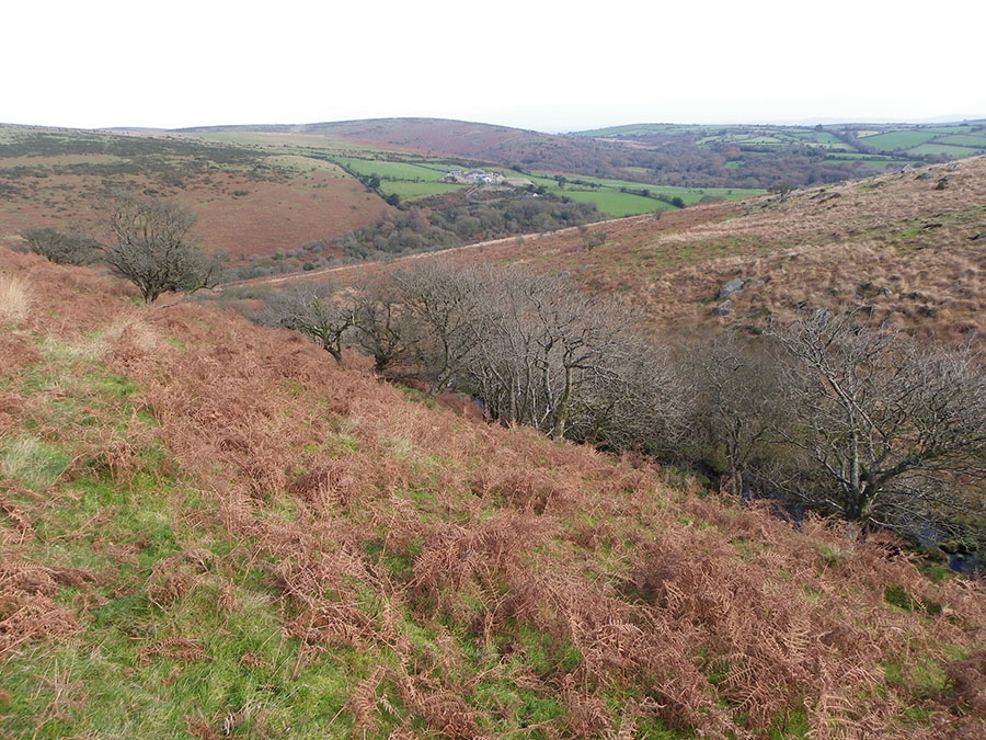
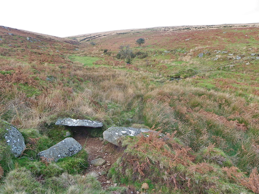
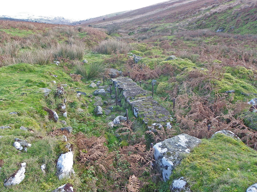
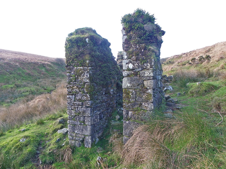
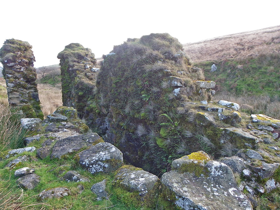
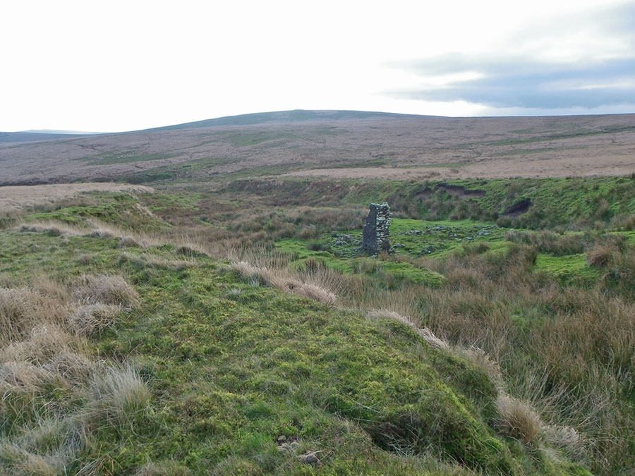
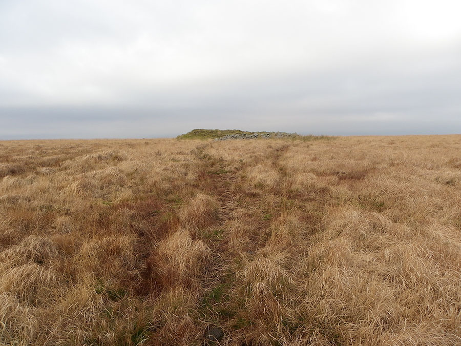
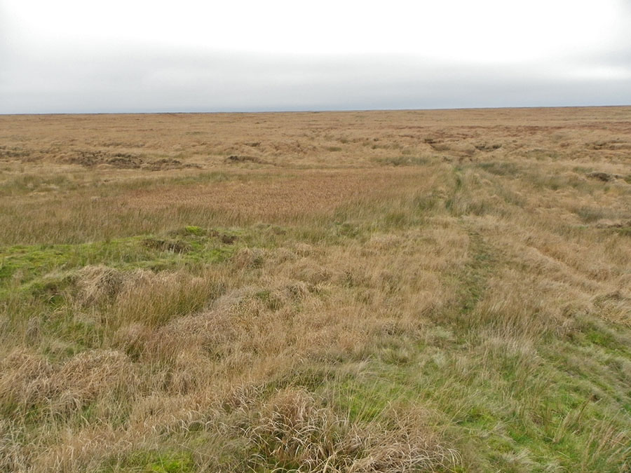
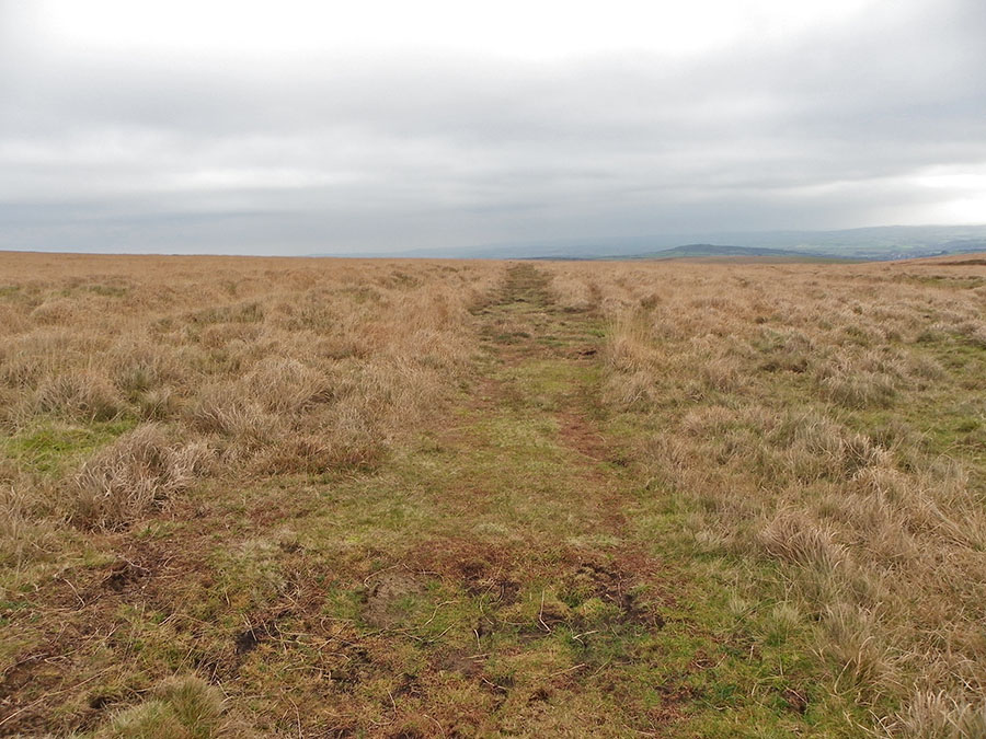
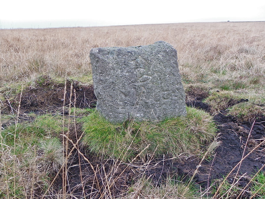
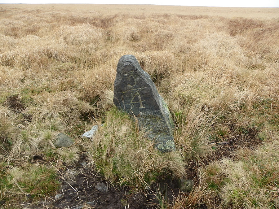
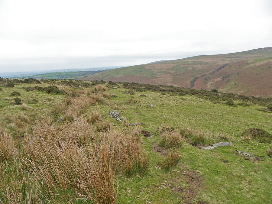
HenchertrawHenchertraw is one of Dartmoor's not so well known places. Hardly a secret but not so many people go there. Henchertraw is a delightful series of small waterfalls in a secluded wooded valley. Red Brook is the water. Henchertraw is the location of one of Dartmoor's more romantic stories about Garth the Tinner - one of Crossing's stories. One day Garth found a baby girl left alone beside the stream. He took her home, called her Melys and raised her together with his son. As they got older the youngsters fell in love and planned to marry. But one day Garth was accosted by a stranger who was the girls's long lost father. He reclaimed his daughter so Garth's son was beside himself and committed suicide in the snow beside the brook. Melys was distraught and returned to her lover the next day. But she was too late. Sadly the father was returning to offer his daughter in marriage to Garth's son.Park at Shipley Bridge (SX 681629) 3 miles north of the town of South Brent. Climb up the NW slopes above the filtration plant and once past then descend the slope down to the Bala Brook. Straight in front is the steep valley of Red Brook, cross over the Bala and climb beside the rocky waterfalls of Henchertraw. When at the top of the valley contour around Old Hill until you get to Middle Brook. Remains of tin mining appear and at the top of the valley you'll come to Uncle Ab's house. Just up from here the terrain suddenly changes and you are on to fairly rough featureless terrain. You may need to set a compass course for Knatta barrow, and then take another (due north) from there for Western White Barrow. You'll come to the wet ground of Petre's Pits, cross over the dam and then you join the Zeal Tor tramway. From the tramway it's easy to get back to Shipley Bridge.This walk is a moderate one which will take a few hours. Not one to do in misty weather. Lots of rocks beside Henchertraw and some wet boggy ground around Petre's pits. No military areas.
|
||||||||||||||||||||||||||||||||||||||||
All | Little | Shorter | Standard | Longer | Tors | Relics | History | Links | Panoramas | Home | ||||||||||||||||||||||||||||||||||||||||