 |
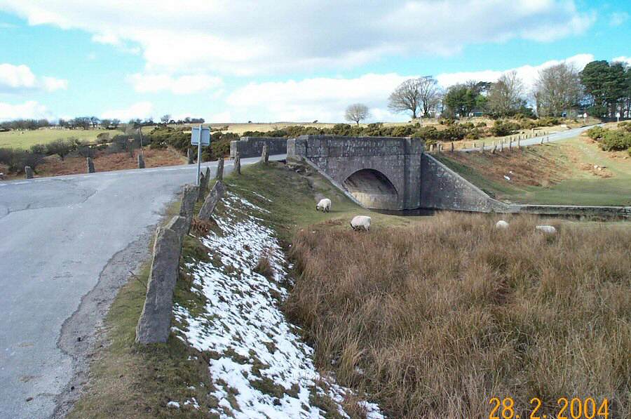
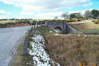
Cadover Bridge - SX 555648. There used to be a clapper bridge
over this ford on the Plym river. Today it carries the busyish
Cornwood to Yelverton road. Cadover may derive from the older English
word Caed that meant "battle site".
|
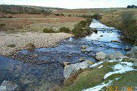 |
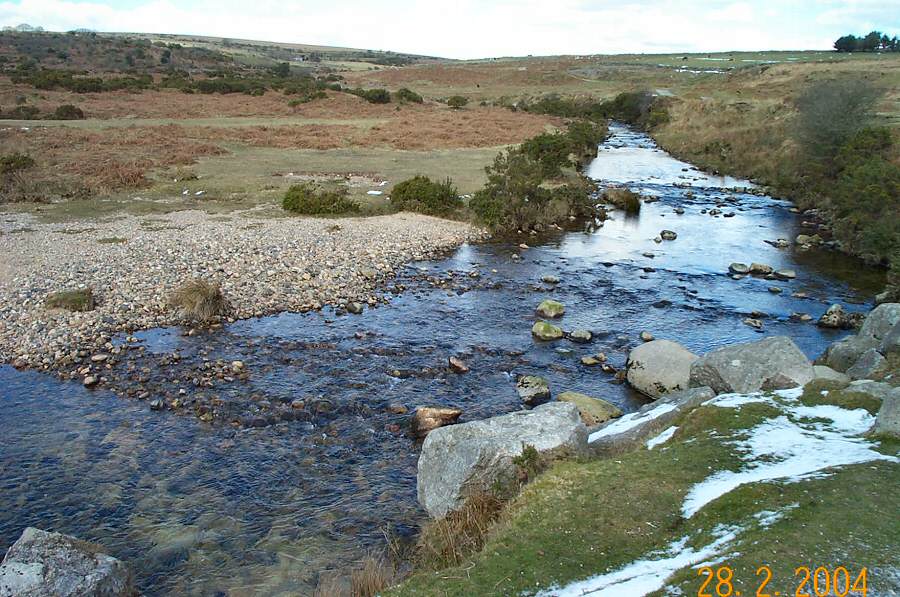
This is where the Plym and the Blacka Brook meet.
|
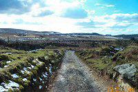 |
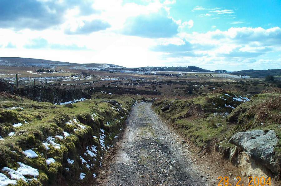
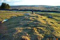
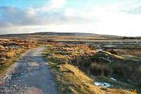
Looking back down the farmtrack.
|
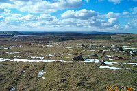 |
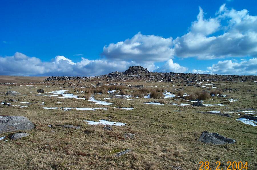
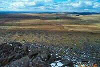
The west view from halfway up to Trowlesworthy.
|
 |
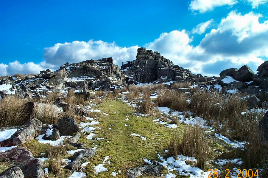
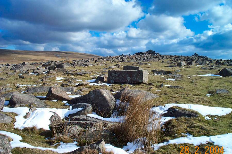
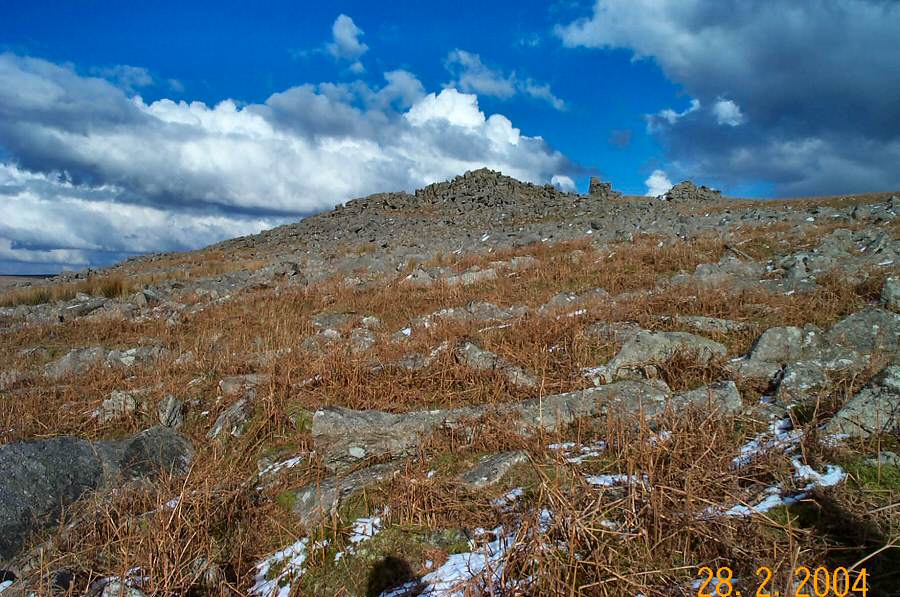
Getting near to Little Trowlesworthy Tor through the assemblage
of clitter and Bronze age remains that are gathered here.
|
 |
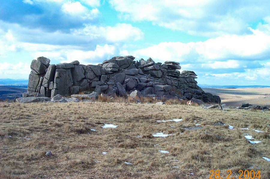
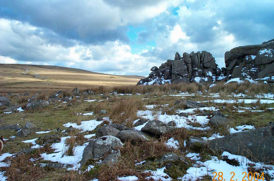
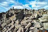
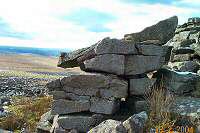
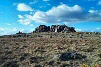
Little Trowlesworthy Tor. You can see from this photo that a
lot of quarrying has been done here. Trowlesworthy has an unusual
pink granite.
|
 |
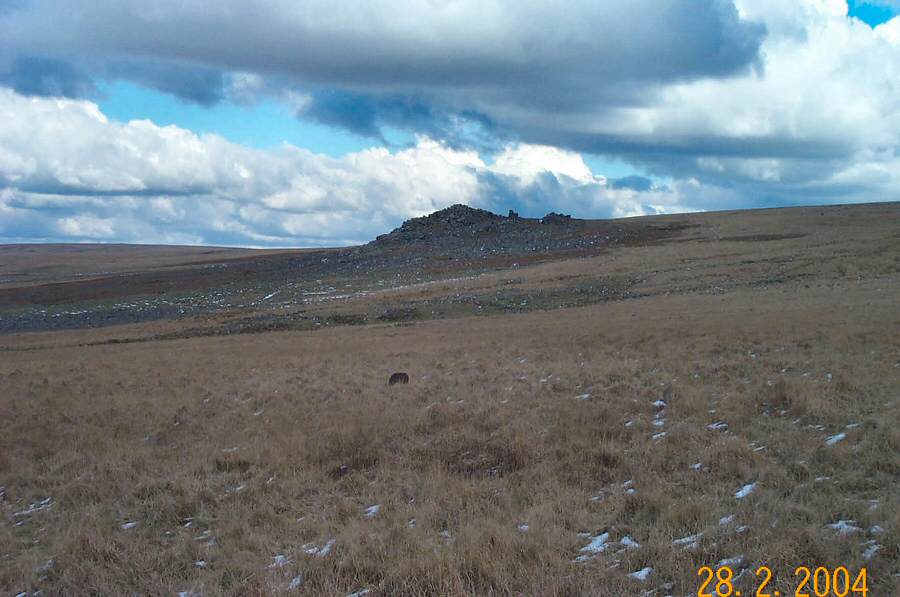
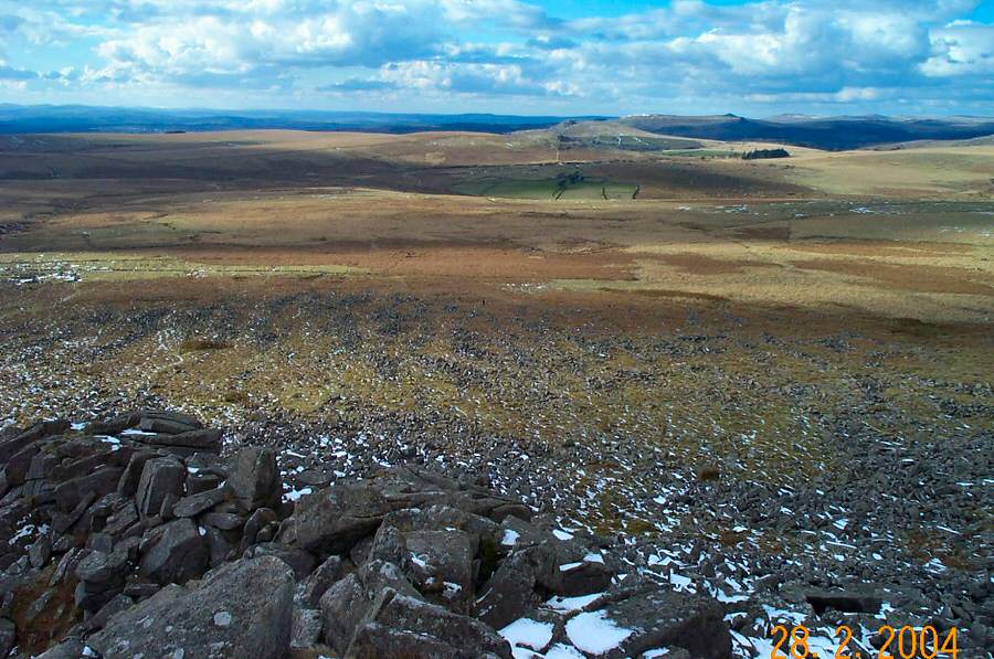
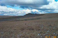
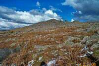
Hen Tor from Little Trowlesworthy. It does look rather isolated
doesn't it?
|
 |
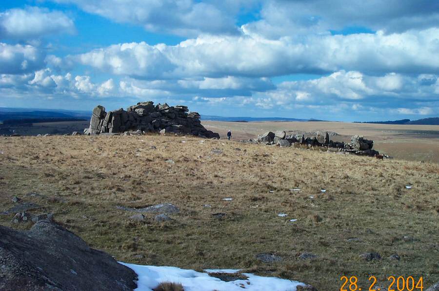
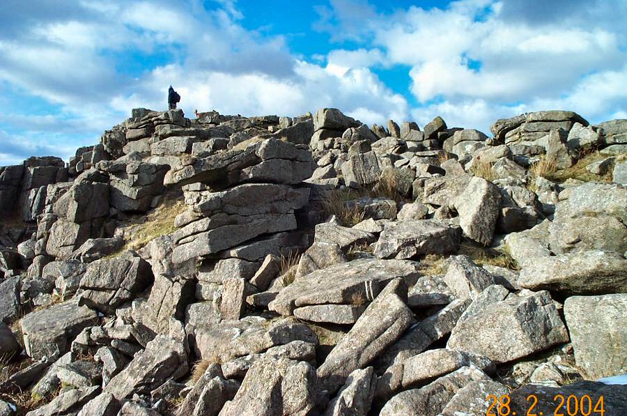
Little Trowlesworthy Tor.
|
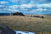 |
Another view of Little Trowlesworthy Tor.
|
 |
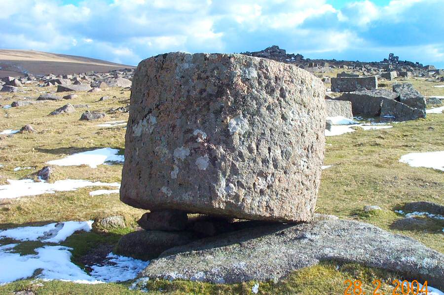
A cylinder of pink granite that was carved to make a large flagpole
to celebrate Devonport's independence from Plymouth in the 1820's.
The project was never completed, and Devonport remains a part of
Plymouth and so the block still
rests
here
halfway
between
the
two Trowlesworthy tors.
|
 |
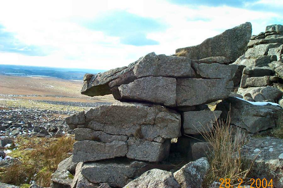
Another example of the extensive granite cutting that has occured
here over the years. For what failed project was this block fashioned?
|
 |
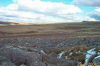
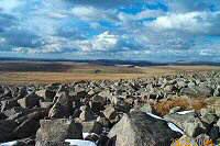
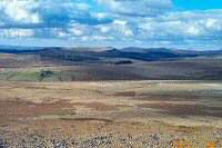
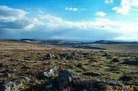
The edge of Great Trowlesworthy with Shell Top on the horizon
and Spanish Lake stream snaking up towards its head. Spanish Lake
is a strange name for a Dartmoor stream especially when in medieval
times it was known as Eastor Brook. One story has it that on the
eve of the Spanish Armada, nervous people hurried up to the stream
head to bury their valuables beneath the peat. No treasure has
been found, but Dartmoor peat is pretty acidic.
|
 |
Approaching Hen Tor.
|
 |
Crossing the Willa (or Hen Tor) brook.
|
 |
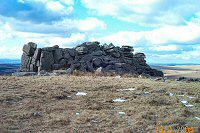
Hen Tor. In the summer walking over this bracken hidden clitter
would not be much fun.
|
 |
View from beside Hen Tor.
|
 |
The broken rocks of Hen Tor.
|
 |
One of the stacks of Hen Tor.
|
 |
Does this rock look like a hen's head? |
 |
Looking north west from Hen Tor.
|
 |
A closer look towards Ditsworthy.
|
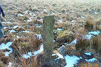 |
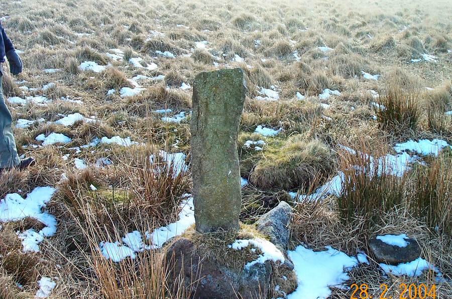
A boundary stone for Hen Tor Warren at SX 585645. The stone
is inscribed HWB2 and was one of the marker stones that delineated
the bounds of Hentor Warren. The stone was erected in 1807 and
was the result of an agreement between Lord Boringdon and Peter
Nicholls (the warrener). |
 |
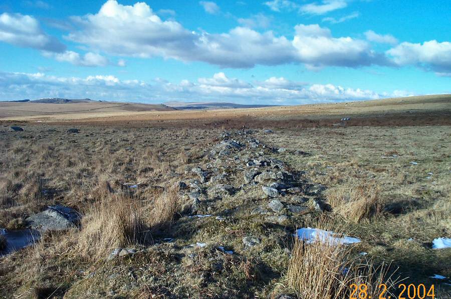
A Reave - one of the many Bronze Age land boundary markers that
stretch over parts of Dartmoor.
|
 |
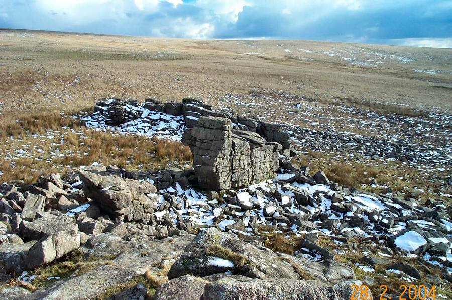
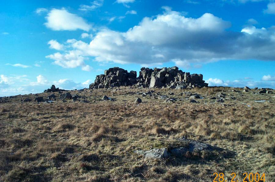
Great Trowlesworthy Tor (or Eastorre as it used to be known).
|
 |
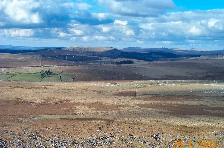
Looking over the Cholwich Town clayworks from Trowlesworthy.
|
 |
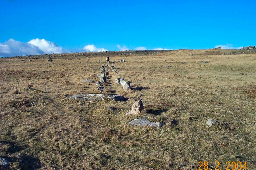
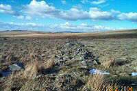
Stone row south of Great Trowlesworthy Tor. |
 |
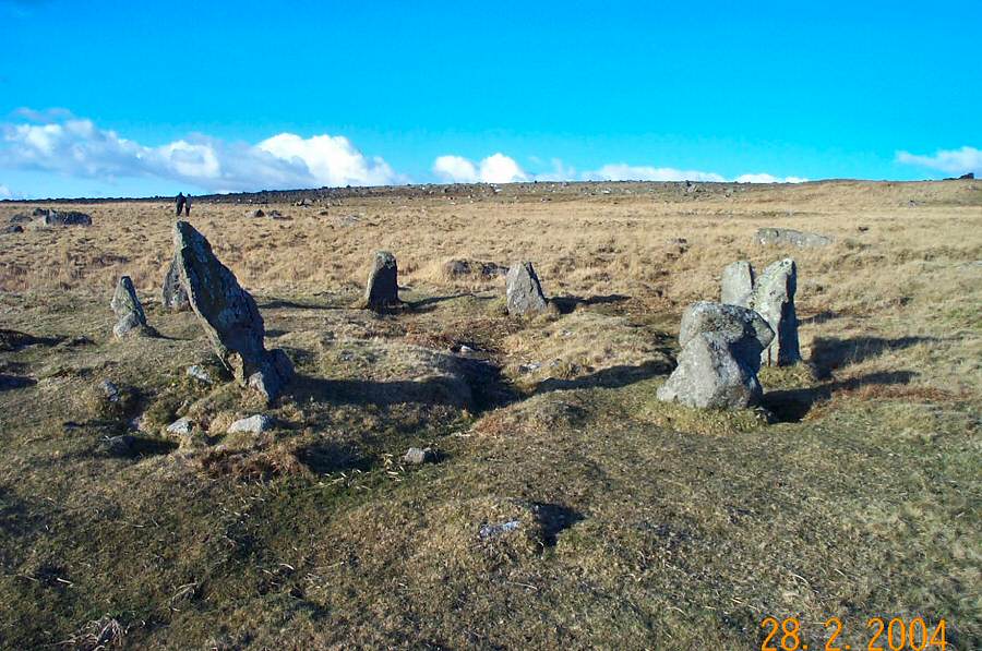
A closer look at the stone circle at end of the stone row.
This circle is sometimes known as the Pulpit. |
 |
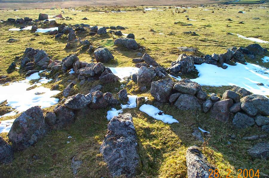
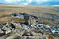
The ruins of a recentish 2 roomed building within one of the
Bronze age huts. |
 |
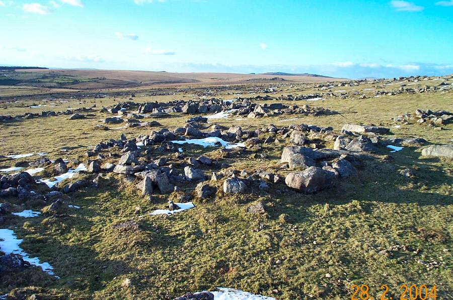
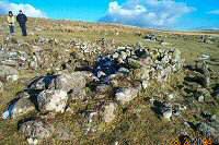
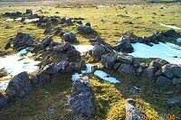
One of the remains of the Bronze Age settlements south of Trowlesworthy.
We're looking at one of the hut remains, there's another behind
and behind that again lies the perimeter wall of the enclosure.
There are 13 enclosures like this around Trowlesworthy although
this is one of the more impressive ones. |
 |
A vermin trap. This was an X shaped row of boulders that helped
to funnel rodents into a central area within which the trap was
based. Unfortunately,
the trap is now longer there but it was probably a contraption
of granite base stones and slate shutters that snapped shut once
the
victim was inside. We are looking direct at where the trap would
have been. The trap was built into the perimeter wall of one of
the enclosures. |
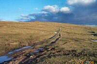 |
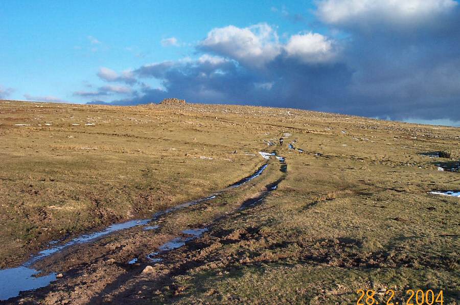
A track leading up to the Trowlesworthy Tors. |
 |
An old rabbit burrow just outside the farm entrance - what
the OS calls "pillow
mounds". Burrows were made of piles of stones, covered with
earth and a trench dug around them to maintain drainage. Within
a burrow would live lots of rabbits. |
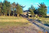 |
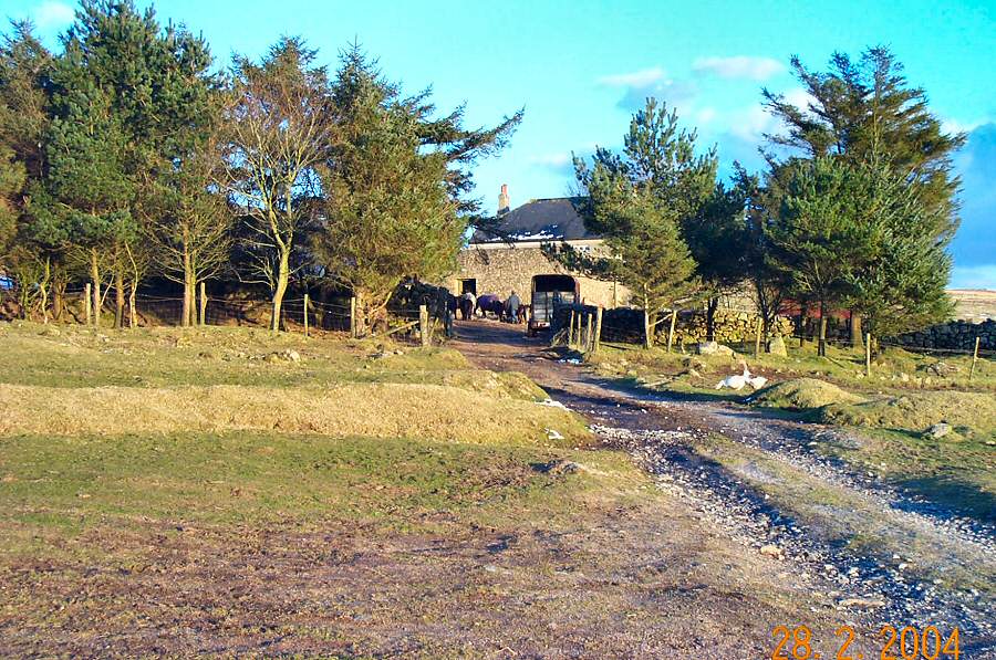
Trowlesworthy Warren farm. This is an active farm that
now has little to do with rabbits but a lot to do with horses. |
 |
The path back to Cadover Bridge. |