All | Little | Shorter | Standard | Longer | Tors | Relics | History | Links | Panoramas | Home
|
||||||||||||||||||||||||||||||||||||||||||||||||
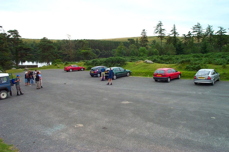
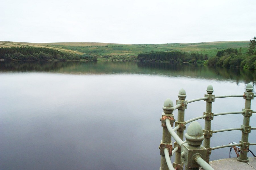
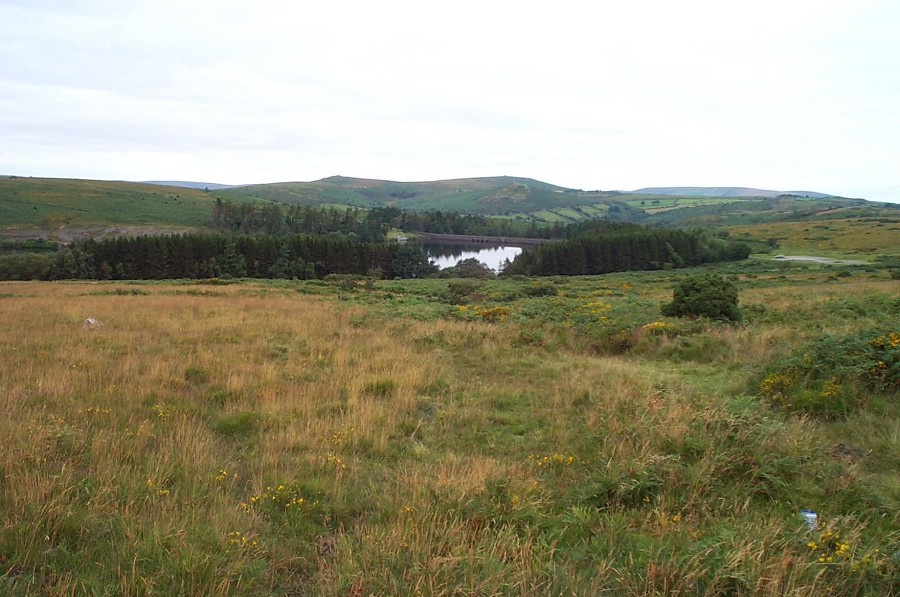
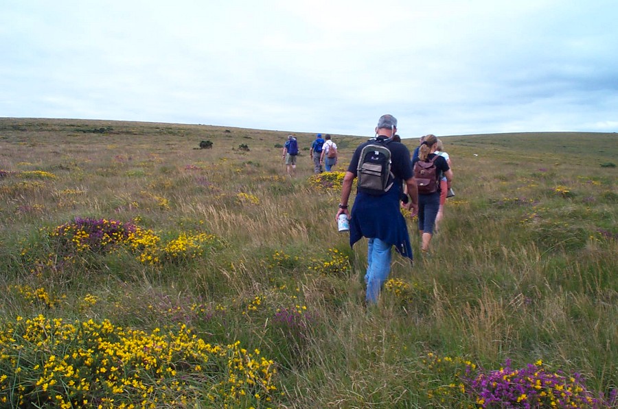
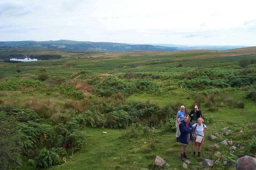
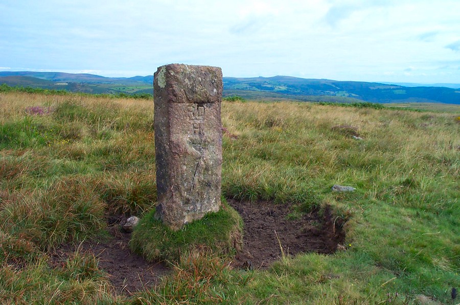
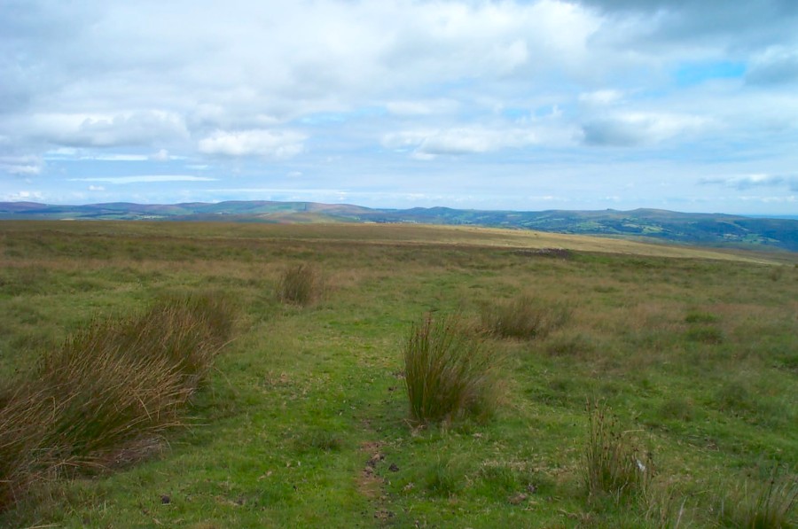
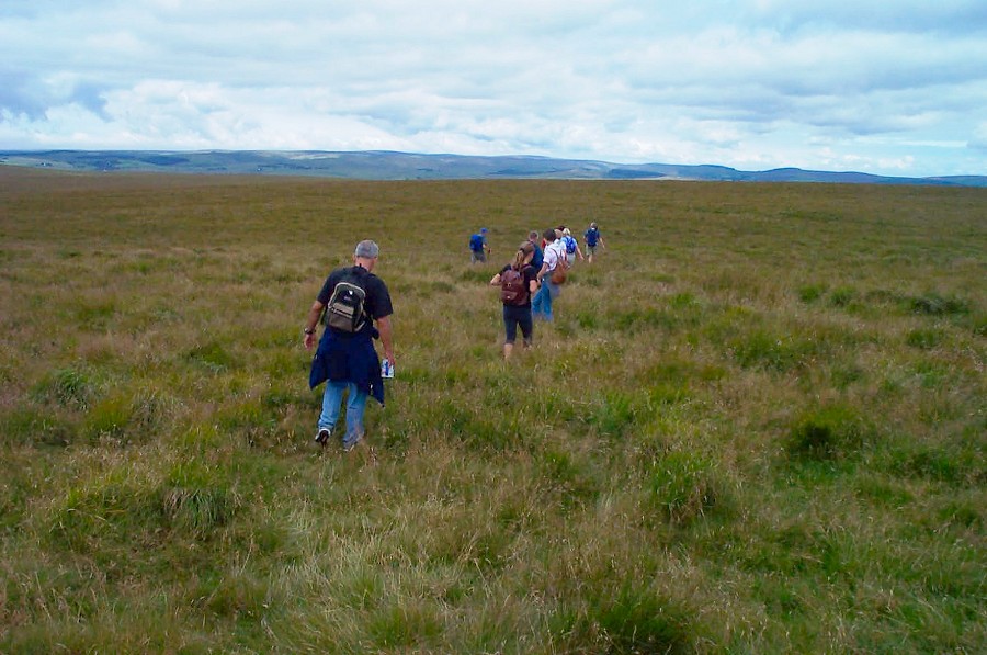
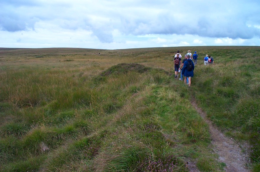
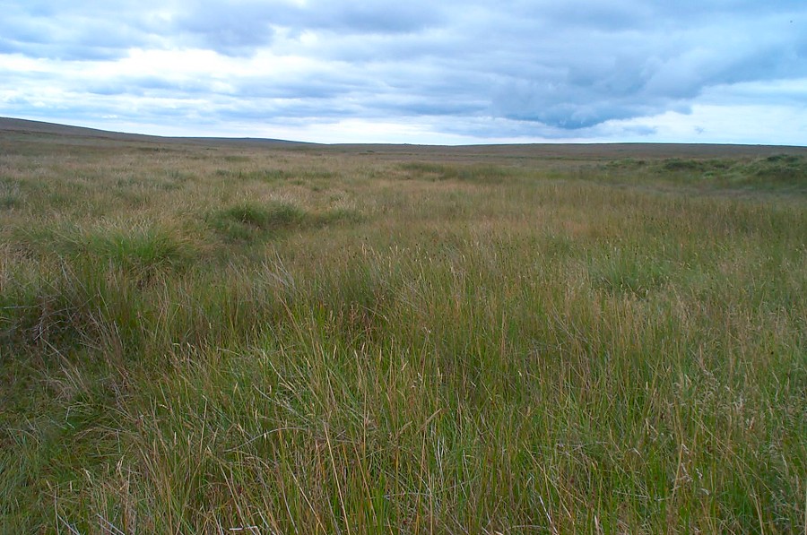
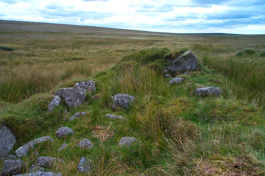
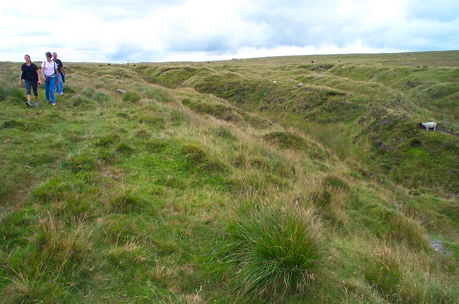
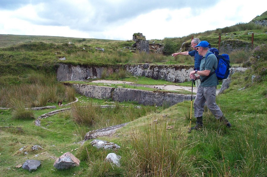
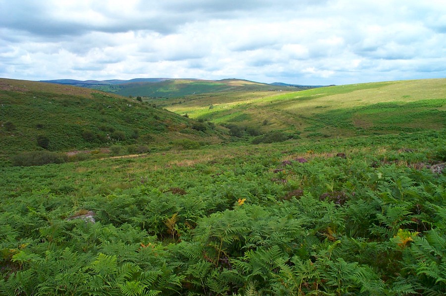
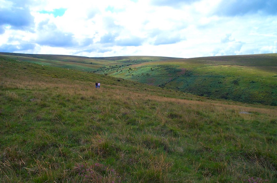
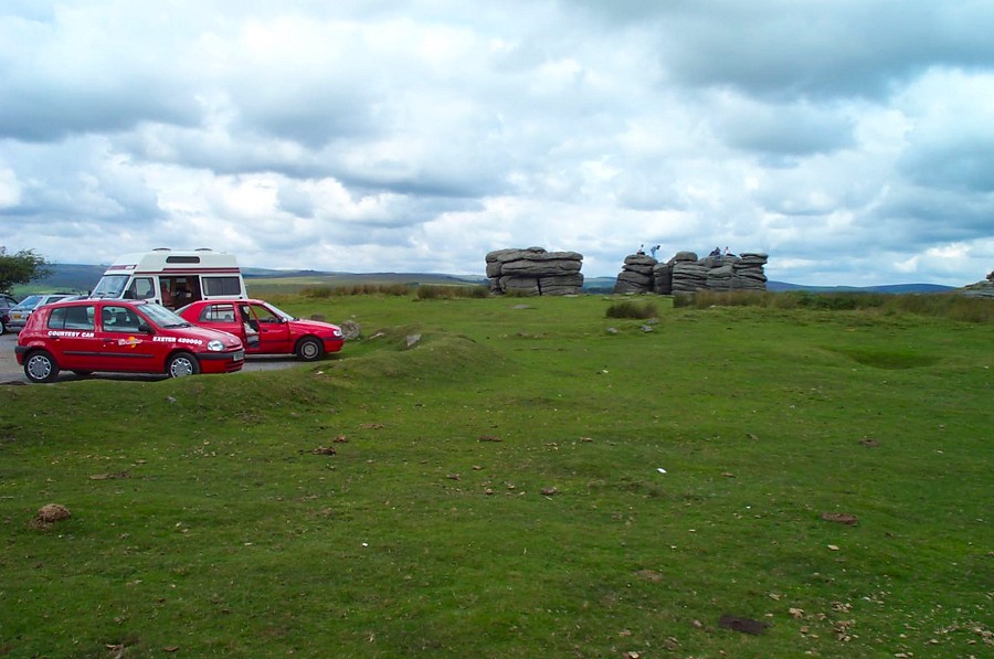
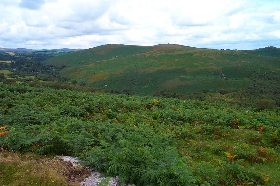
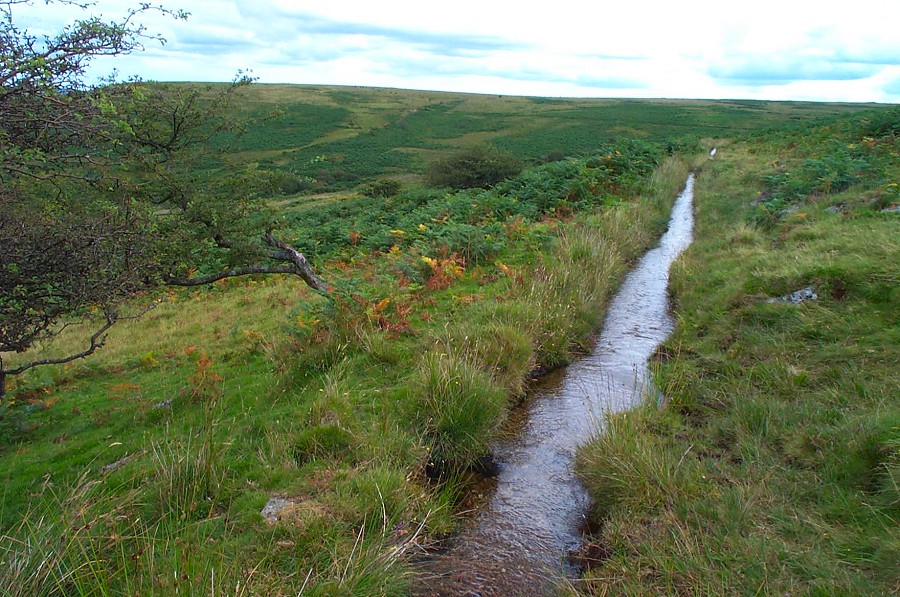
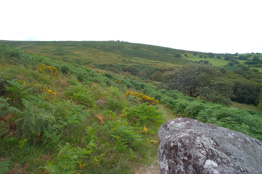
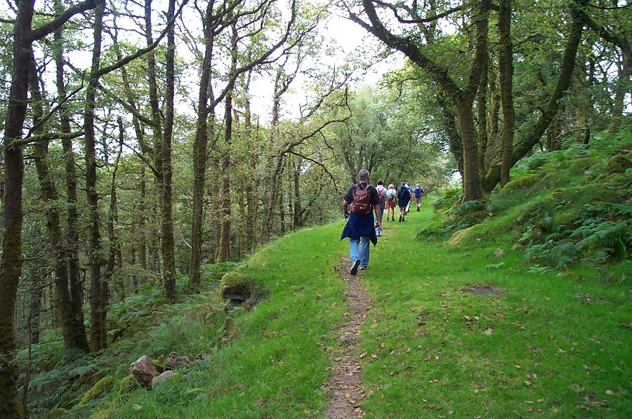
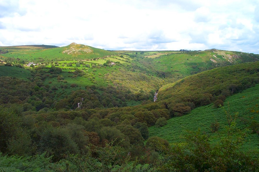
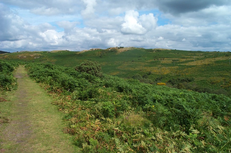
Holne MoorHolne Moor is on the eastern slopes of southern Dartmoor. It is rather bland in terms of features but in summer provides splendid walking with good views from the extensive ridges on the top. There are many remains of tin working on Holne Moor and Aune Head mire is a good example of a serious Dartmoor bog that is difficult if not impossible to cross. Holne Moor provides a good way of getting to the more remote parts of the southern moor.This walk starts at a car park (SX 685713) near Venford Reservoir and takes an easy path up to the high ridges via Holne Lee. There are extensive but overgrown remains of old tin mines on the way. Carry on to Ryder's Hill from where in good weather there are splendid views. Navigate NW over awkward grass to the Sandy Way path that takes you past Aune Head Mire. Then head north over Skir Hill, down Skir Gut from where a tinner's track takes you past the mines of Henroost and Hooten Wheals. Carry on down the eastern side of the O brook valley to Combestone Tor. Head NE down an easy track and then walk eastwards until you get to a lovely wood. Follow the track that curves around and takes you back to the car park.This walk is about 8 miles but in good weather it is quite straightforward. In winter the high ridges are easily mistbound and owing to the lack of features navigation could be tricky. It may be wet in places. Map and compass are essential. No army presence. Allow 4 - 5 hours at a good pace.
|
||||||||||||||||||||||||||||||||||||||||||||||||
All | Little | Shorter | Standard | Longer | Tors | Relics | History | Links | Panoramas | Home | ||||||||||||||||||||||||||||||||||||||||||||||||