All | Little | Shorter | Standard | Longer | Tors | Relics | History | Links | Panoramas | Home
|
||||||||||||||||||||||||||||||||
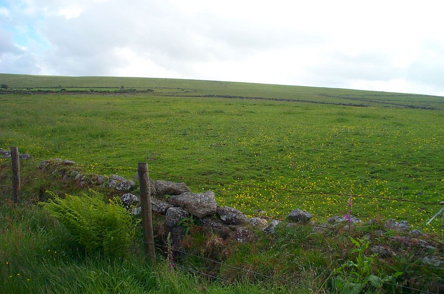
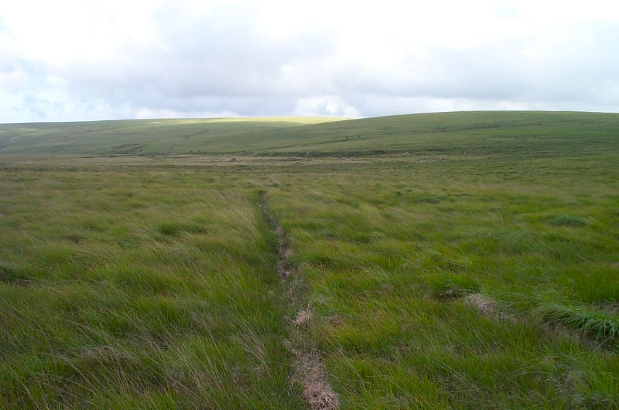
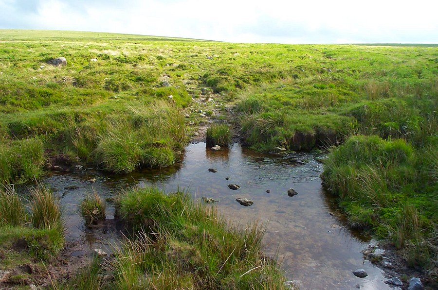
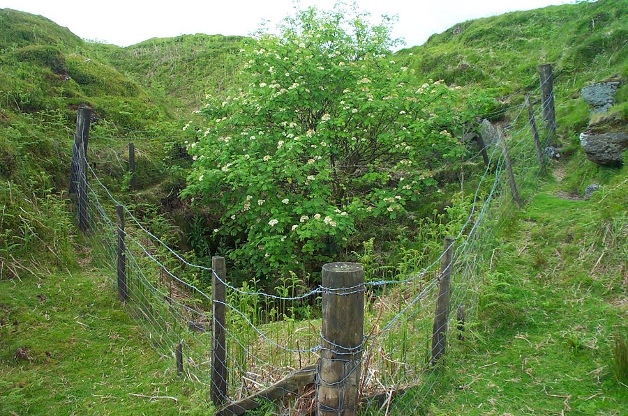
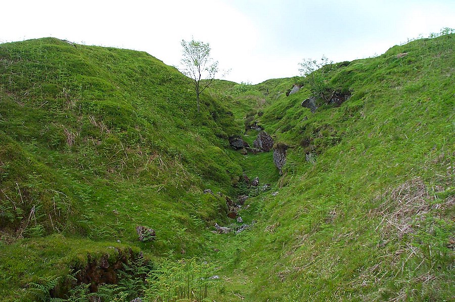
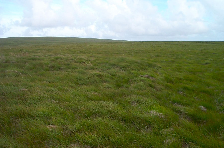
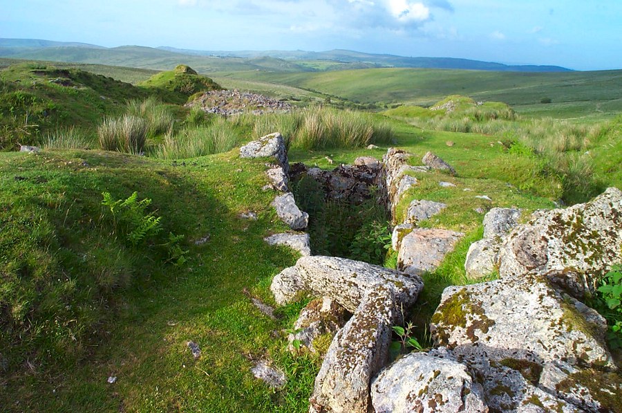
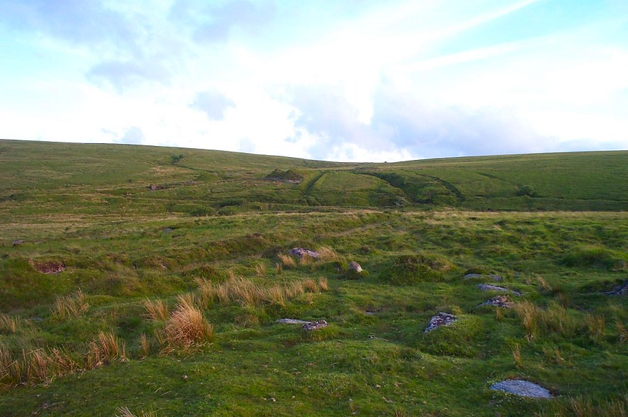
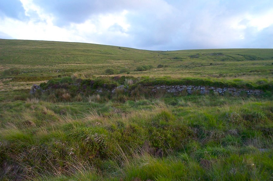
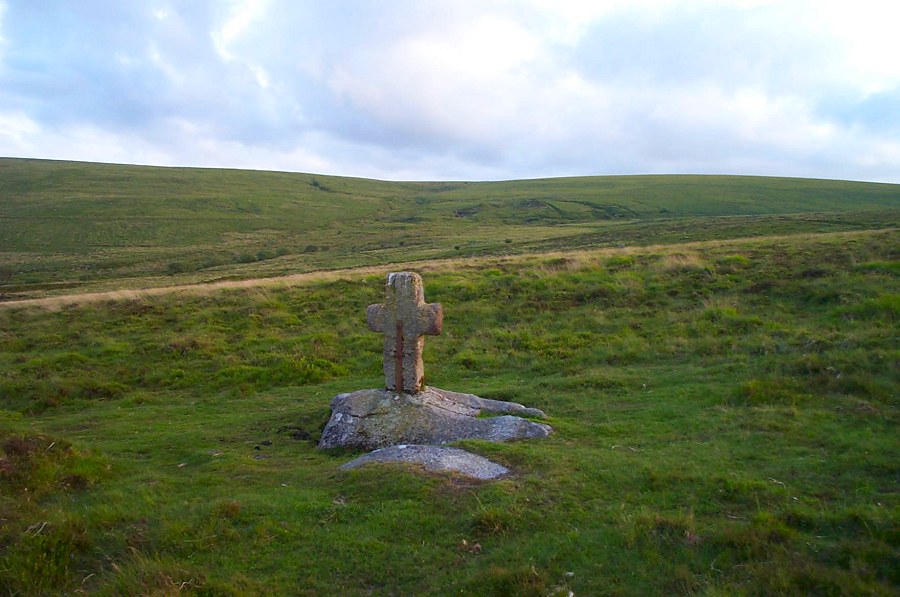
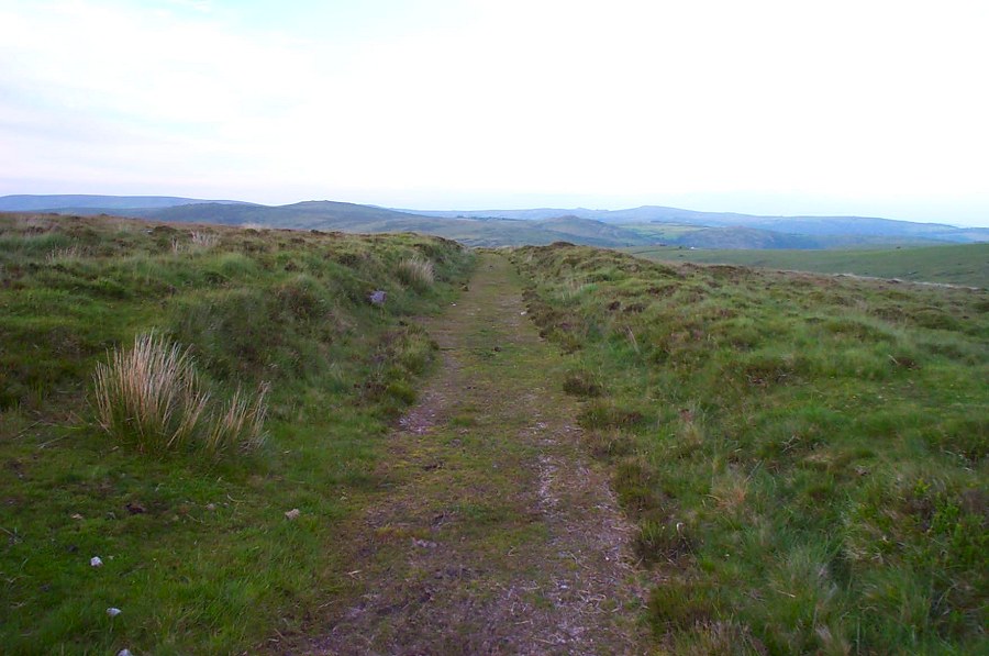
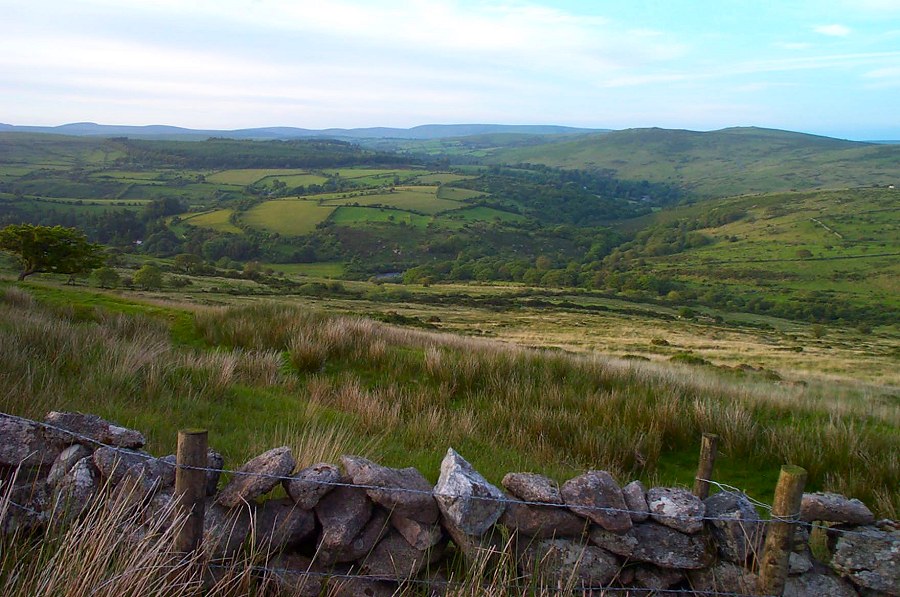
Hooten WhealsHooten Wheals (SX 655708) is a disused tin mine. It is situated up the valley of the O brook which was obviously a rich tin area since there is another tin mine nearby - Hensroost - as well as remains of earlier extensive tin streaming. Hooten Wheals was active at the end of the 19th century and for a few years after. A severe storm in 1920 finally put paid to it. It was a productive mine in its time. There are lots of remains still around and little imagination is needed to appreciate what a busy place this would have been 100 years ago. More imagination and a map is needed to see where all the various mine buildings, aqueducts, tramroads and so forth fit in to the tangle of bracken and undergrowth that now covers the site. Sadly, a lot of the damage was done by artillery while practising for the 1944 D Day landings.Park at Gobbet Plain (SX 647728) on the road from Hexworthy to Sherberton. Head due south over Down Ridge. From here you can easily see the mine remains. Head for Skir Ford and cross over the brook. You can now head on up Skir Hill taking in the remains of Henroost on the way. Return back down the east side of the hill. As you near the valley you'll find the remains of Hooten Wheals. Return back along the mine track. Note that the track passes through private property near Hexworthy.This is an easy walk of about 3 miles as described although you could easily extend the walk over Skir Hill to look at Aune Head mire.
|
||||||||||||||||||||||||||||||||
All | Little | Shorter | Standard | Longer | Tors | Relics | History | Links | Panoramas | Home | ||||||||||||||||||||||||||||||||