All | Little | Shorter | Standard | Longer | Tors | Relics | History | Links | Panoramas | Home
|
||||||||||||||||||||||||||||||||||||||||||||||||||||||||||||||
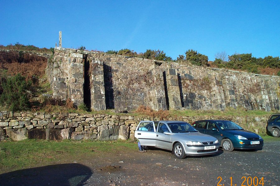
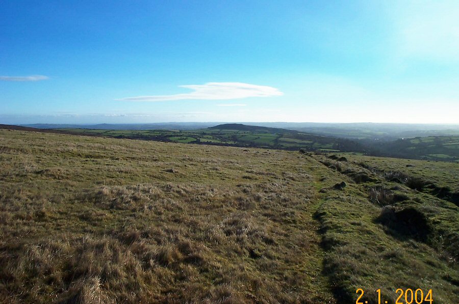
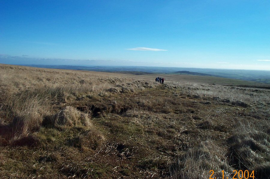
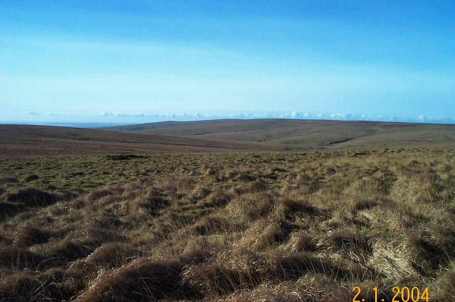
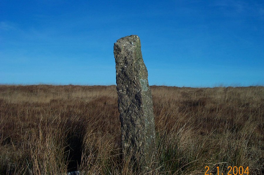
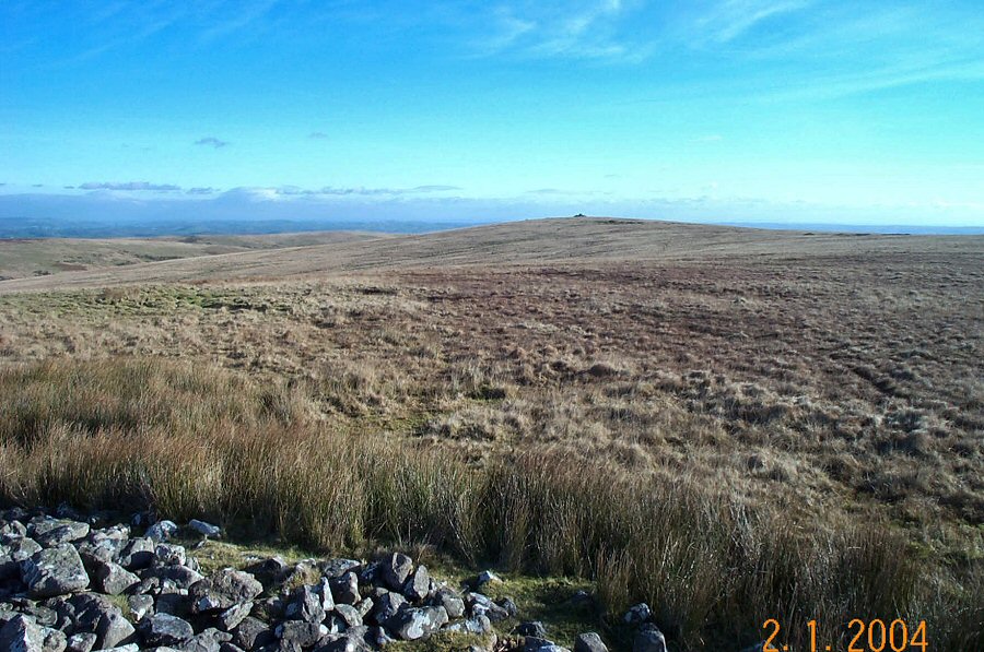
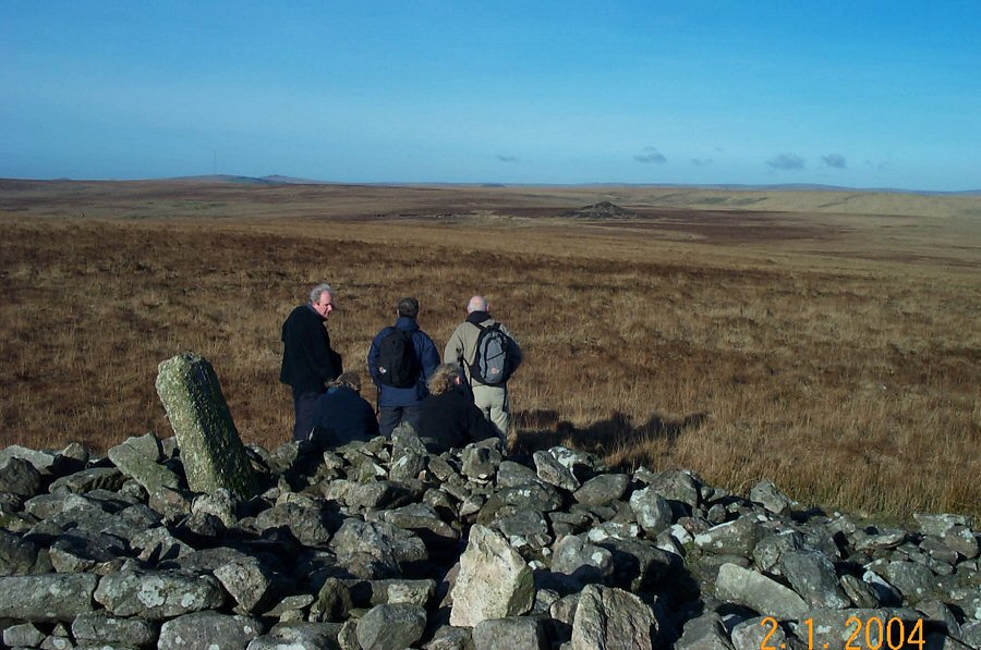
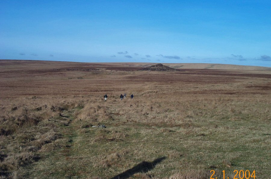
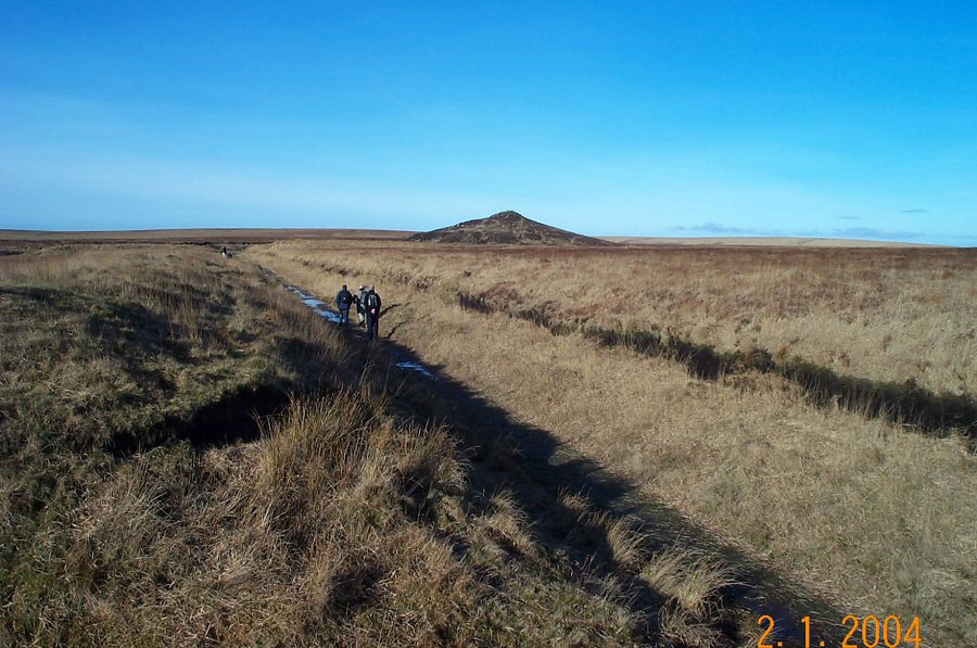
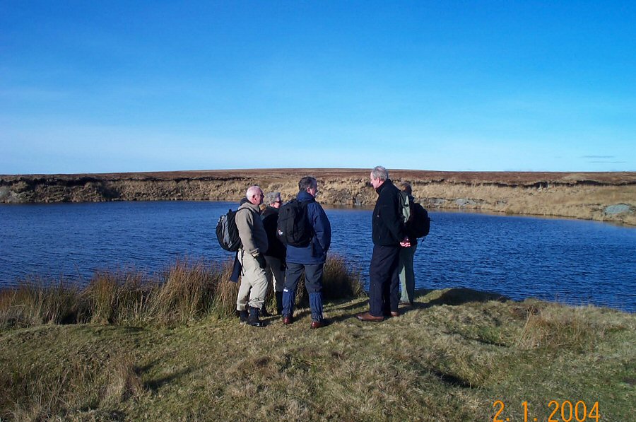
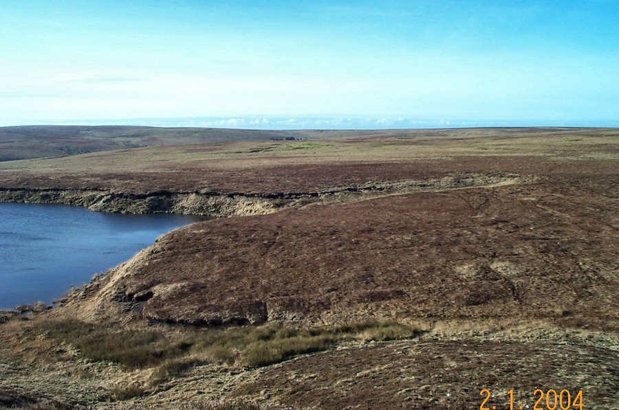
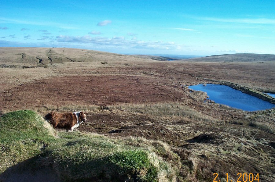
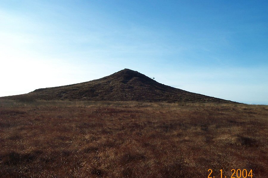
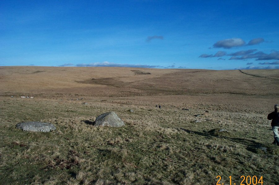
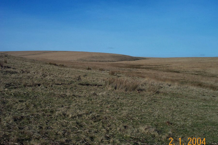
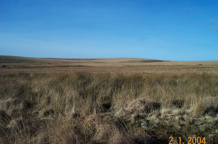
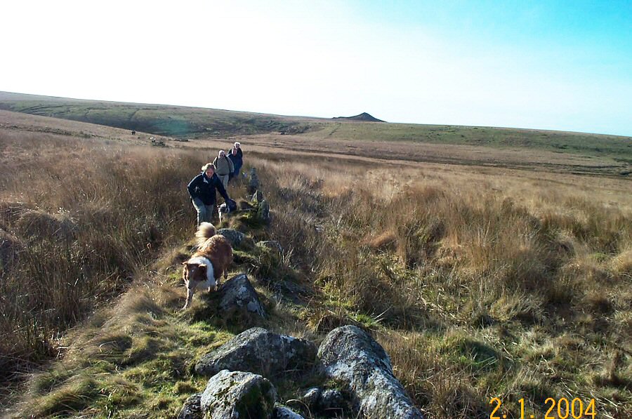
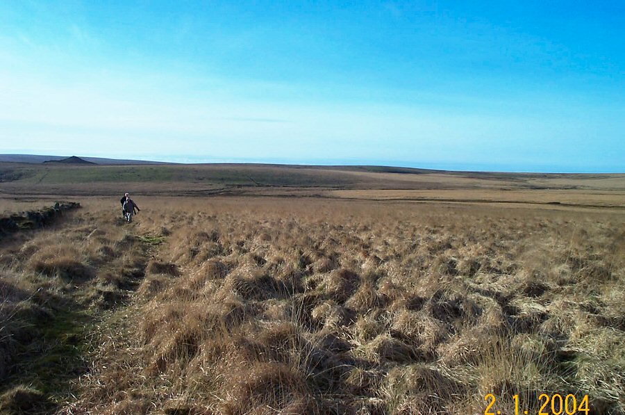
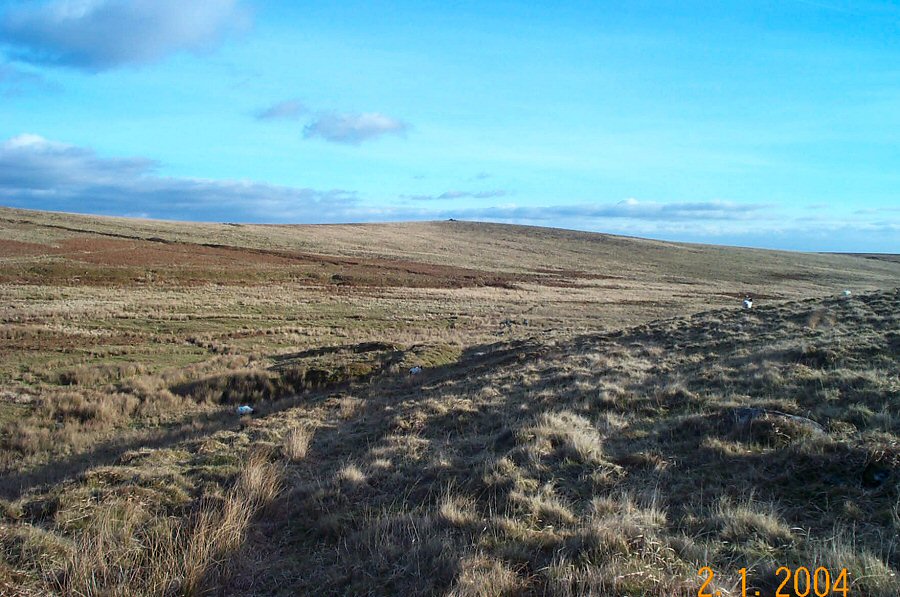
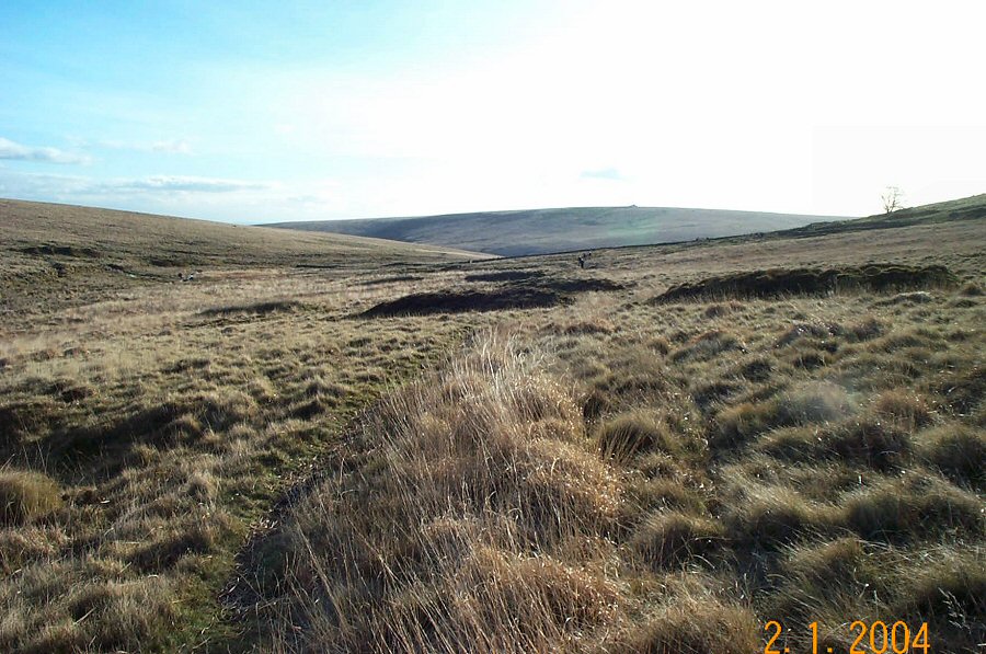
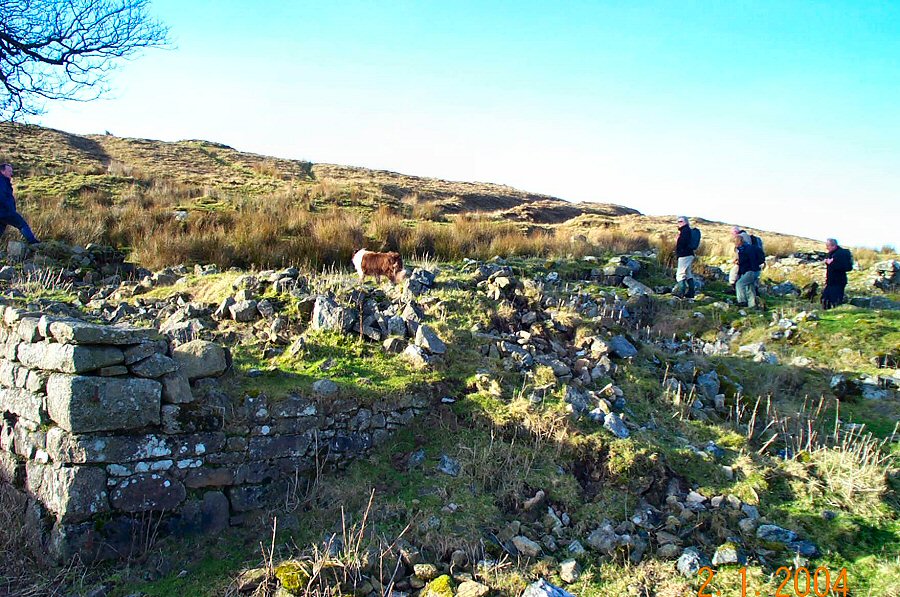
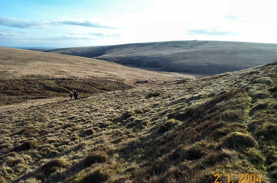
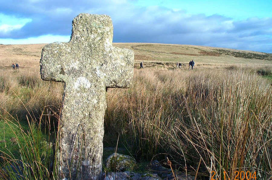
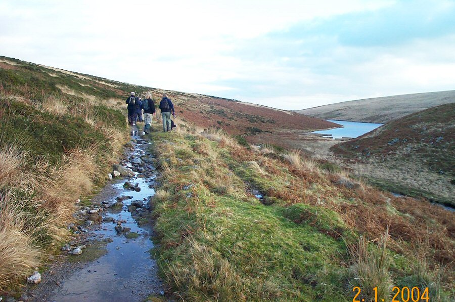
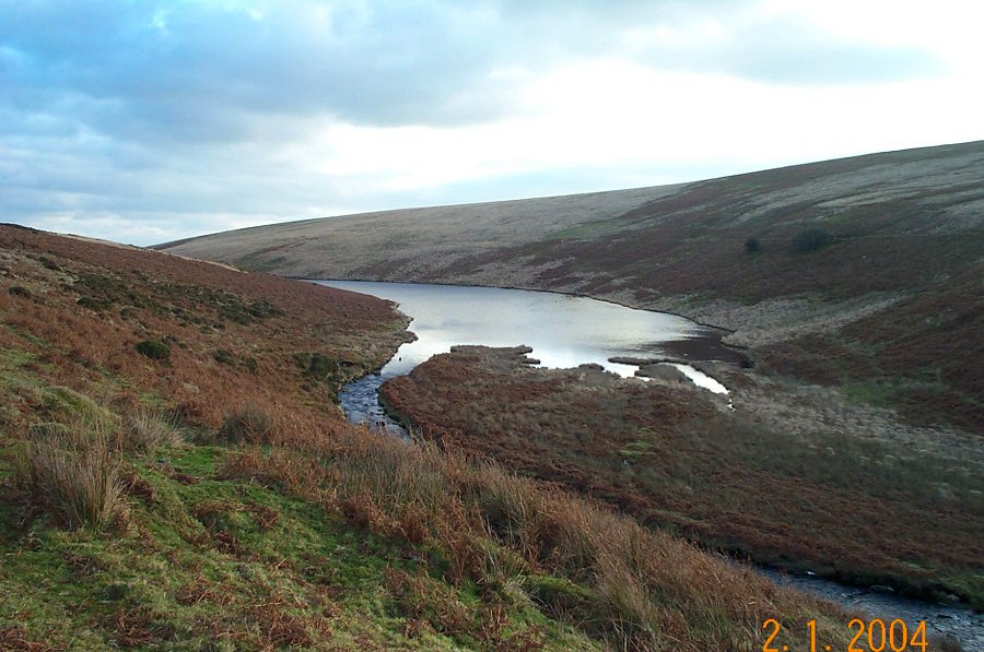
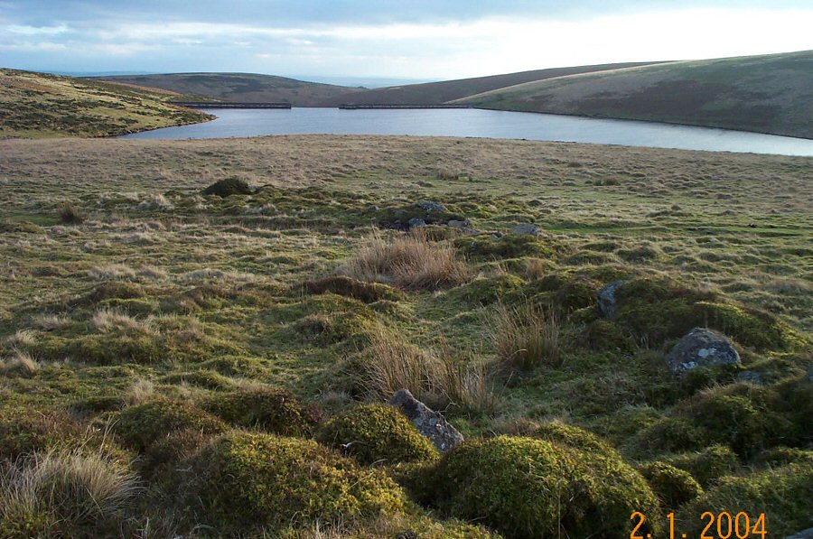
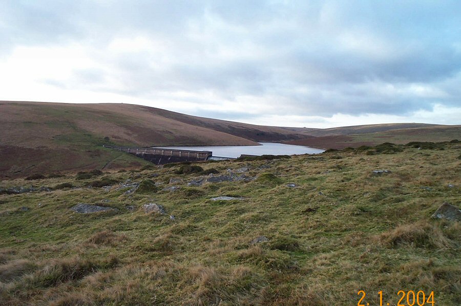
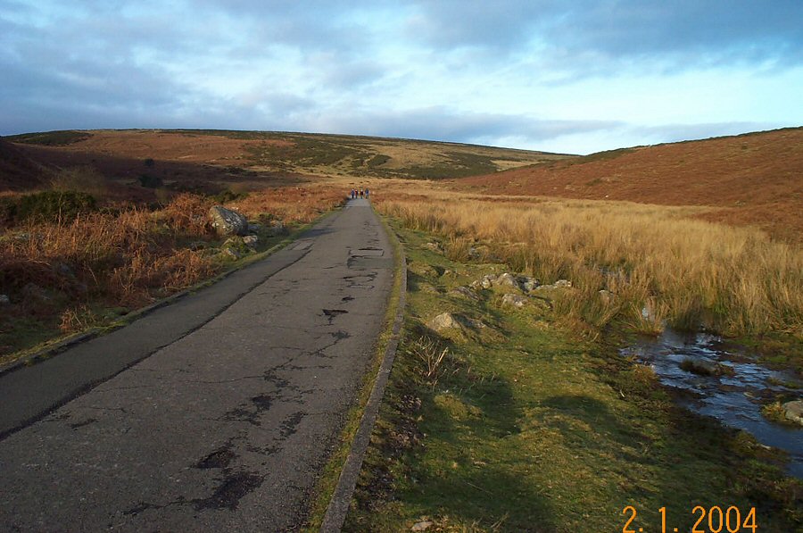
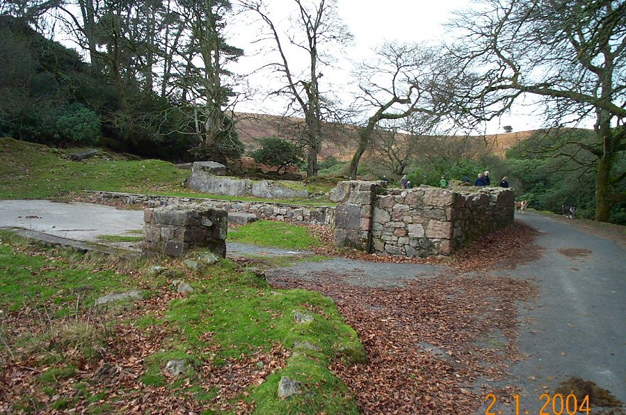
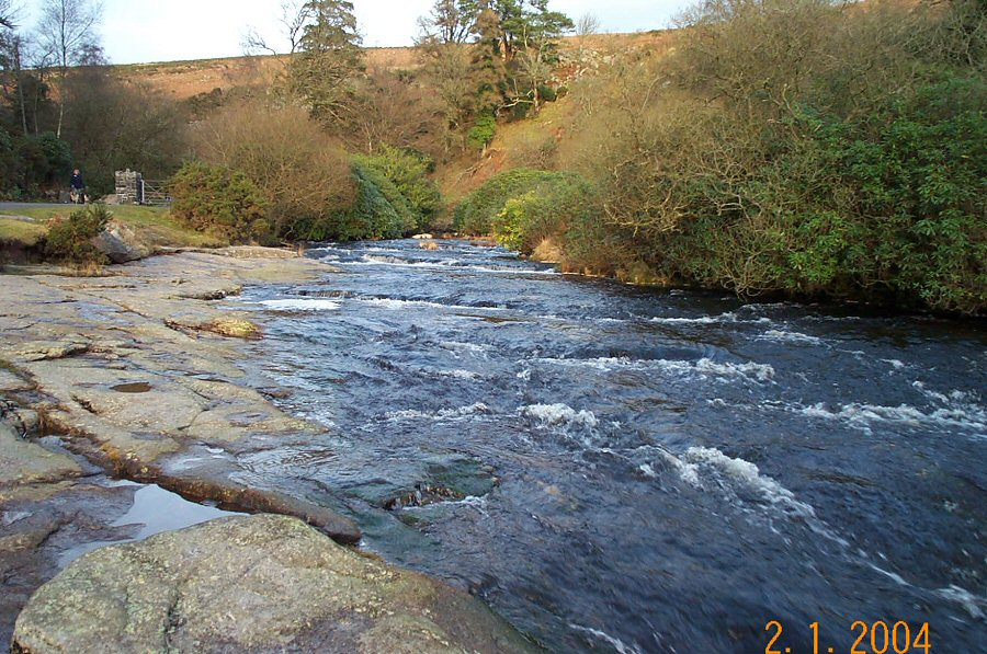
Huntingdon WarrenHuntingdon Warren (SX 665669) gives a convenient focus to walk on an isolated part of south Dartmoor that has plenty of contrast. Huntingdon was one of the rabbit warrens that used to be an important Dartmoor industry. From medieval times rabbits were bred for food (initially probably for tinners) within an enclosed area of moorland. Each warren would have an associated farm for the warrener as well as the specially built rabbit housing (or buries). Today all the warrens are deserted. The extensive warren of Huntingdon was established in the 19th century and continued for nearly 100 years. The farm was inhabited until quite recently. It would have been a lonely place to be.Park at Shipley Bridge (SX 681629) 3 miles north of the town of South Brent. From here there is a road to the Avon Dam which follows the Avon river. Follow this road for a short distance and at the Hunter's Stone take the road up to the filtration plant. After a short climb, you can then follow the track of the old Zeal Tor tramway which takes you up on the westerly side of Brent Moor towards Red Lake. Carry on until you get to the obvious cairn of the Western White barrow - Petre's Cross (SX 664654). Admire the views from here. Then carry on north to Crossways where you'll join the path of the tramway which takes you to Red Lake. From here we walked NE until we crossed over the Avon and then took the north and east circuit around Huntingdon Hill towards the warren and the ford at Huntingdon Cross. The Abbot's Way then took us to the Avon Dam from where Shipley Bridge was easily reached.The walk is under 10 miles and isn't a difficult one apart from some awkward wet ground around Red Lake and Ryder's Mire. However, the open moorland has its hazards so the obvious precautions are essential. The last mile or so is easy walking.
|
||||||||||||||||||||||||||||||||||||||||||||||||||||||||||||||
All | Little | Shorter | Standard | Longer | Tors | Relics | History | Links | Panoramas | Home | ||||||||||||||||||||||||||||||||||||||||||||||||||||||||||||||