All | Little | Shorter | Standard | Longer | Tors | Relics | History | Links | Panoramas | Home
|
||||||||||||||||||||||||||||||||||
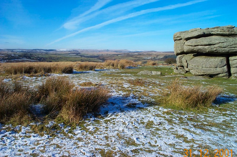
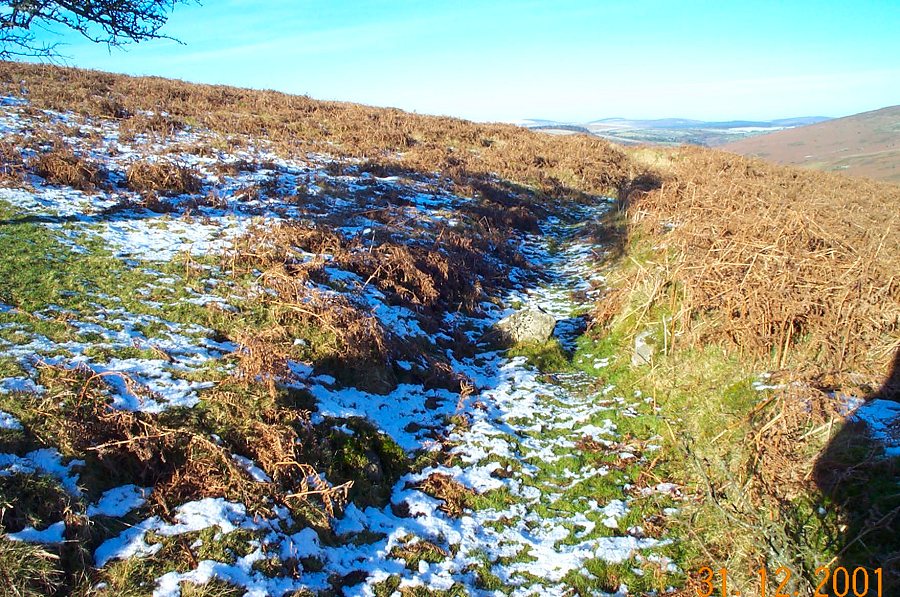
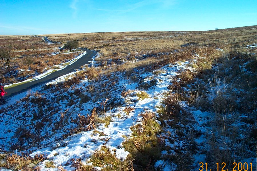
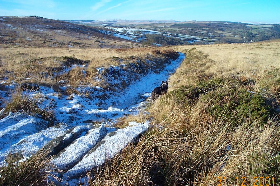
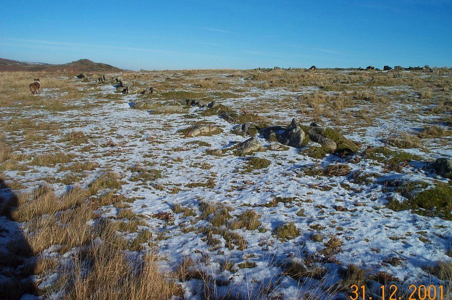
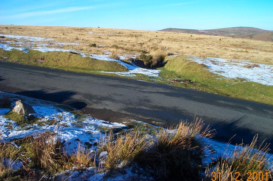
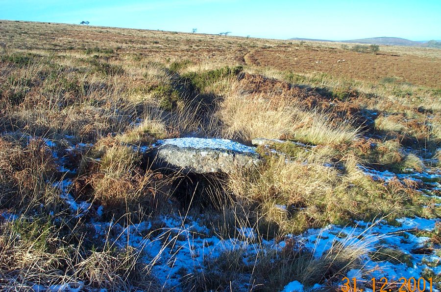
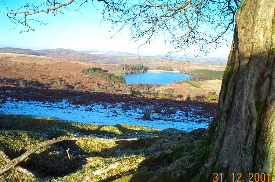
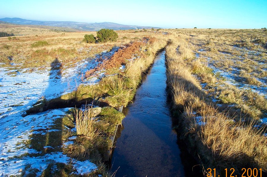
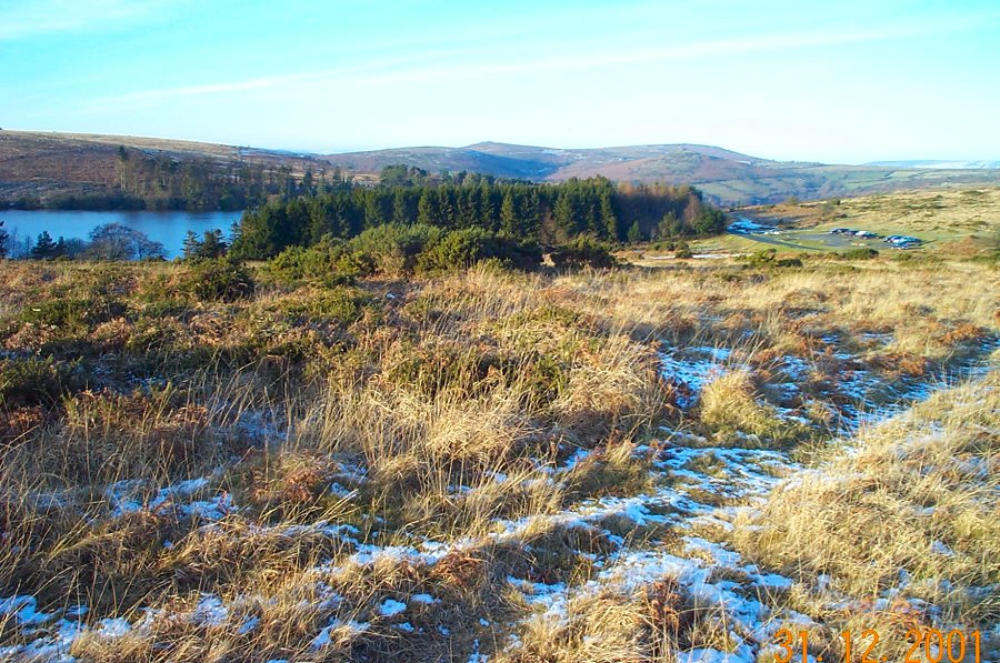
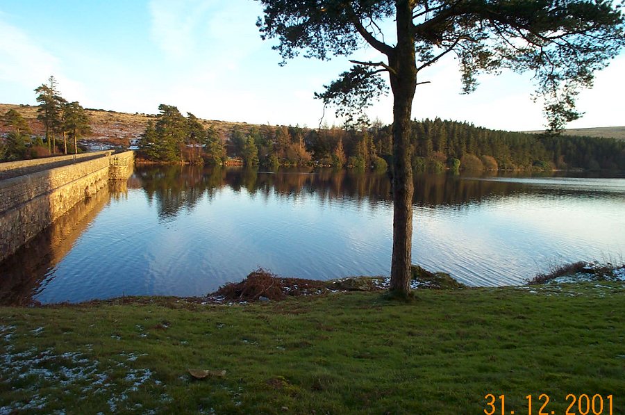
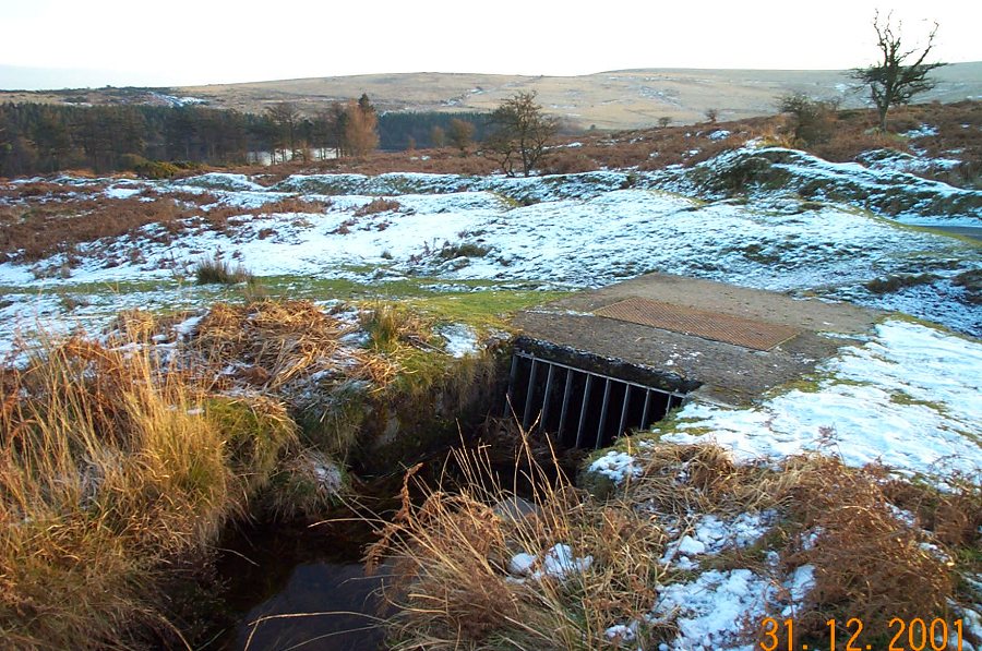
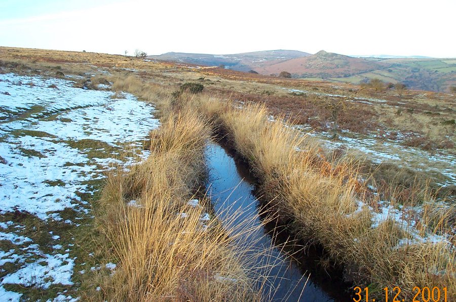
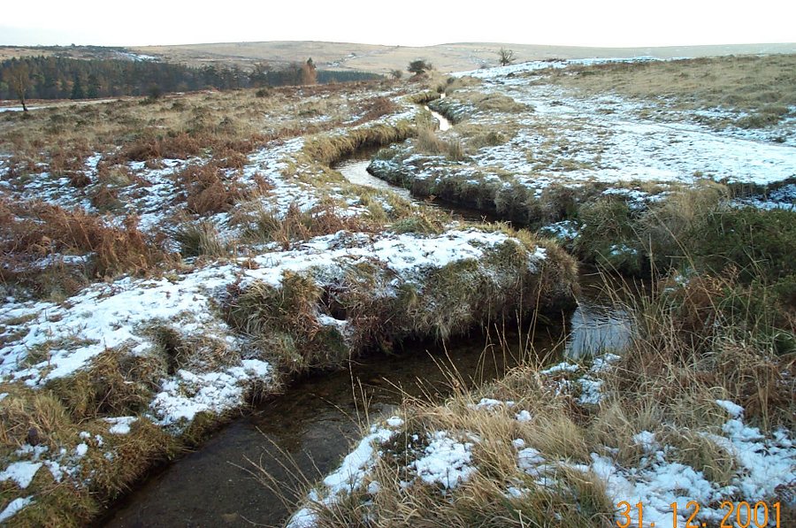
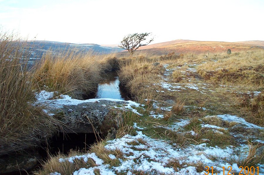
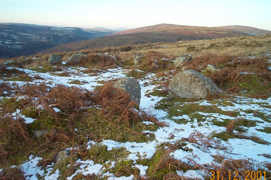
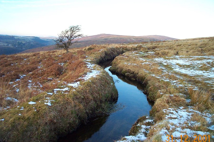
Three LeatsHolne Moor contains lots of disused and flowing leats. This walk briefly looks at three of them - Wheal Emma leat, Hamlyn's leat and Holne Town gutter. The lengthy Wheal Emma leat was built in 1859 to transfer water from the Swincombe so as to augment the flow into the Buckfastleigh copper mine in Brook Wood. It is now disused. Hamlyn's leat is still flowing and was used to help power a Buckfastleigh woollen mill. Hamlyn's and Wheal Emma follow much the same contours. The Holne gutter flows right through the centre of the Holne village and was originally used as a general water channel. To make sense of these leats (and others) takes a bit of disentangling. This walk also goes through part of the extensive Bronze age reave system of Holne so you can see lots of prehistoric remains.Park at Combestone Tor (SX 670718) and just to the north of the tors you will come to the dry channel of Wheal Emma. Follow this across the road until you get to the south side of Vennford reservoir. You can then climb up to find the Holne gutter which you can follow for as long as you wish. We walked off it and came down the reservoir, walked along the Holne road and then picked up Hamly's leat. Follow this back to the car park.This is an easy walk in that no climbing need be done. In summer parts of it would be very overgrown and there are a lot of thorn bushes on the way. Winter is a better time to do it. The described walk only covers a small part of what can be covered. You'll need to refer to the OS map and Eric Hemery's book "Walking the Dartmoor Waterways" which describes these very well.
|
||||||||||||||||||||||||||||||||||
All | Little | Shorter | Standard | Longer | Tors | Relics | History | Links | Panoramas | Home | ||||||||||||||||||||||||||||||||||