All | Little | Shorter | Standard | Longer | Tors | Relics | History | Links | Panoramas | Home
|
||||||||||||||||||||||||||||||||||
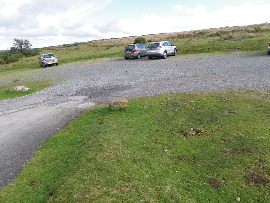
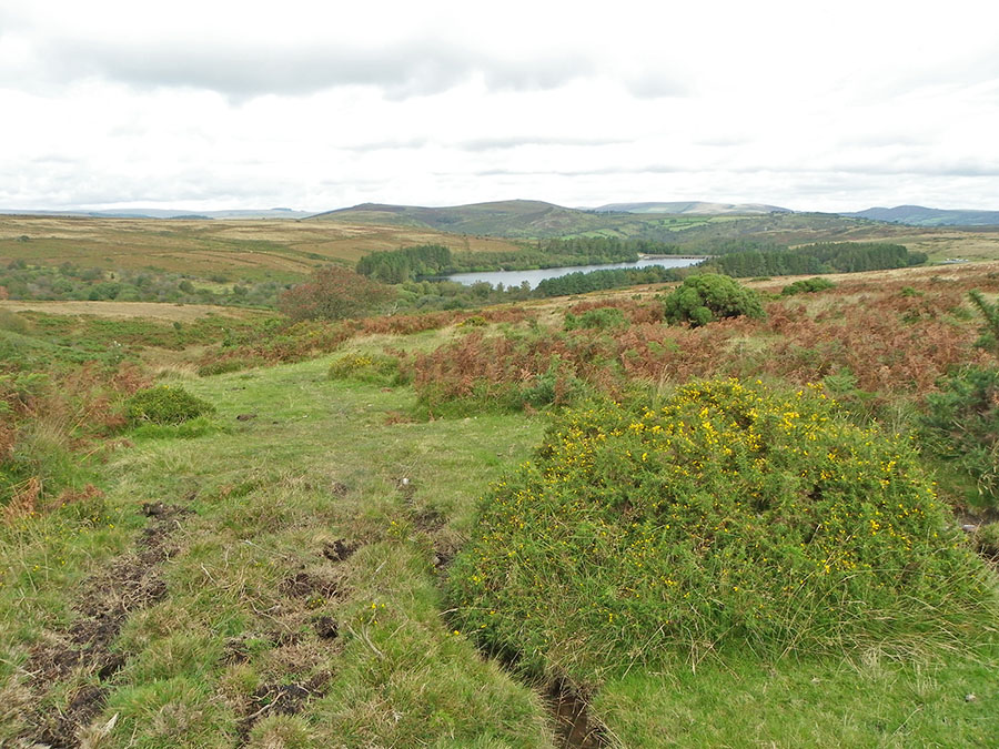
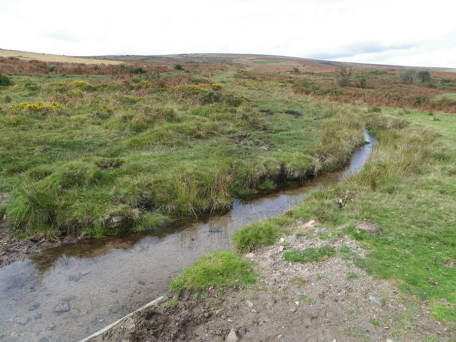
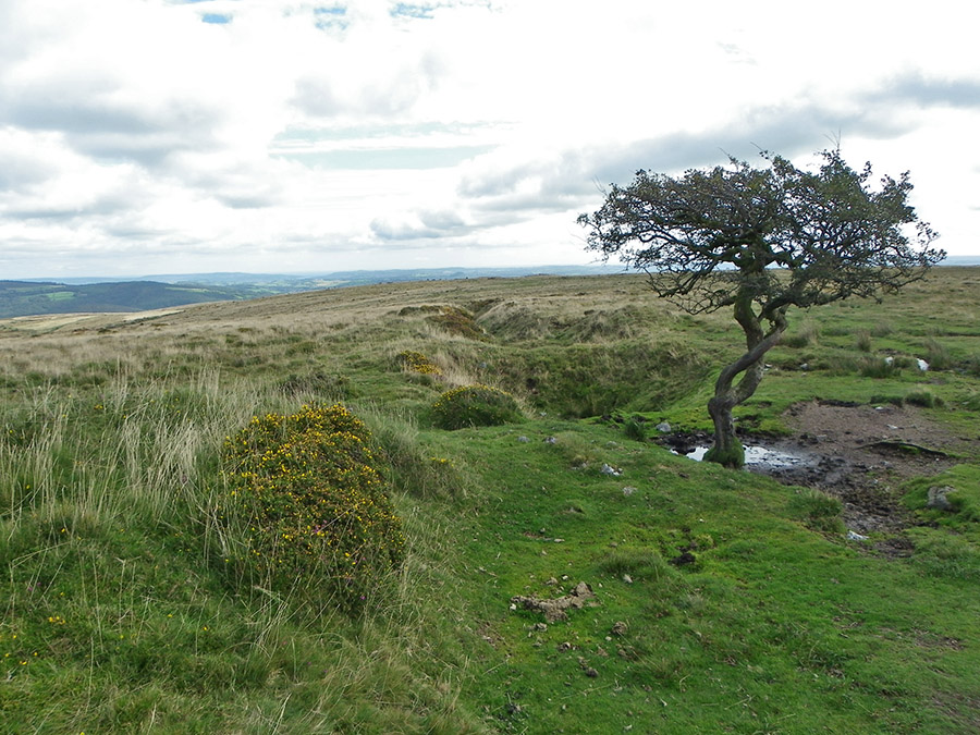
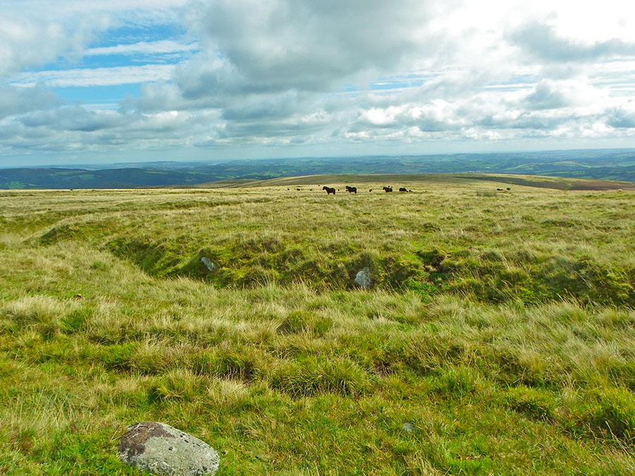
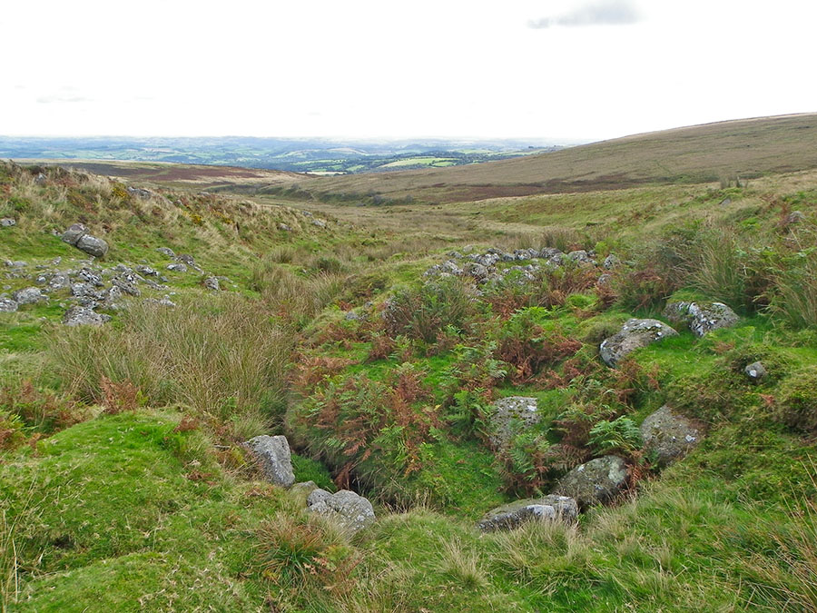
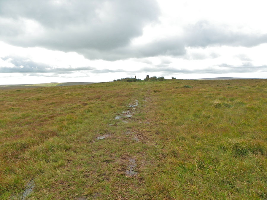
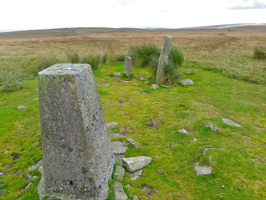
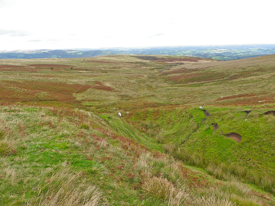
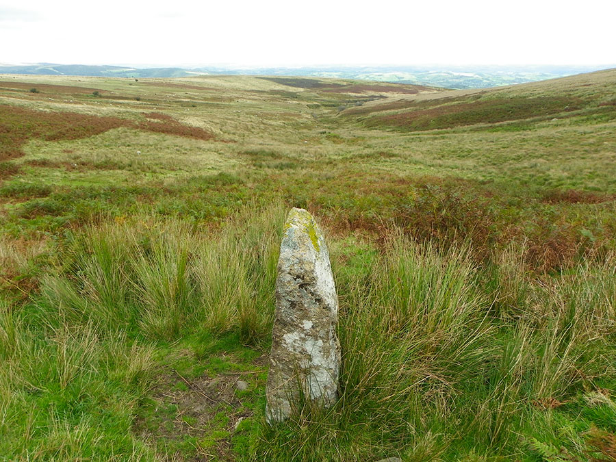
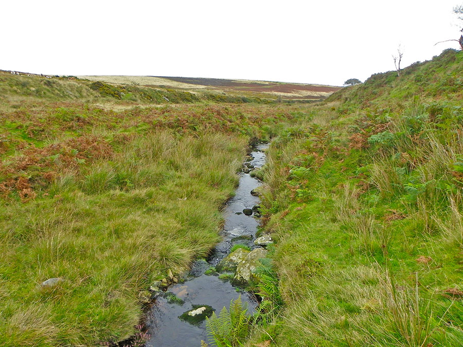
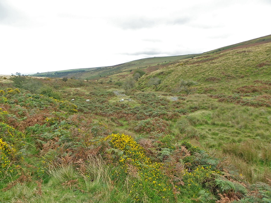
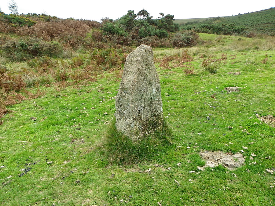
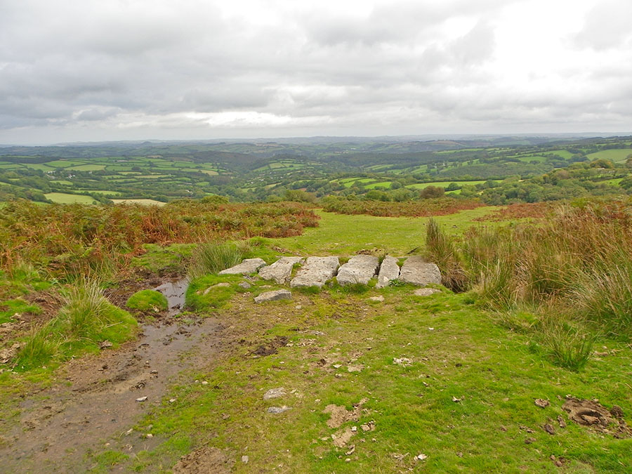
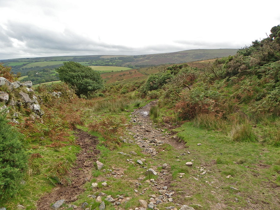
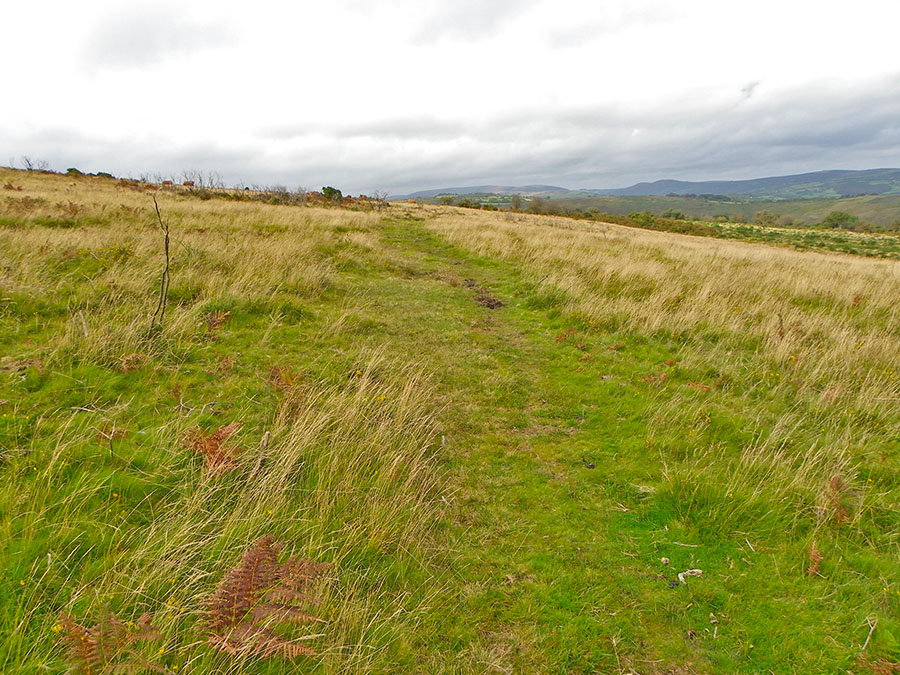
Mardle HeadMardle Head is a surprise. In fact the upper valley of the Mardle is a surprise. Although it is only a couple of miles from the town of Buckfastleigh this Dartmoor valley seems many more miles away from a Devon town. Part of the reason is that the land rises up quite steeply and gives the valley a rugged sort of beauty as well as effectively hiding it away from the nearby lowlands. Mardle Head is just 500m away from Ryder's Hill - the highest point on southern Dartmoor. The Mardle valley is a place of great beauty. Lots of nature and lots of quiet. In the past there was a fair bit of tin streaming along the stream bank but today all the walker sees are the overgrown rubble tips.Park at the eastern car park at Venford - SX 688709. Then head due south and take the fairly obvious tracks that lead you up onto Holne Lee. There are a number of old tin workings and cairns scattered around but the tracks across the moor are quite clear. You'll come across the bigger trackway of the Sandy Way so take it up to the brim of Holne Ridge and from there head SW towards Ryder's Hill. From Ryder's head 500m eastwards and you come to the Mardle valley. Follow it down (bestways on the NE side) until it begins to level off. Look for the Wheal Emma leat and then follow the leat path until you see the Venford reservoir and the carpark. Legendary Dartmoor gives an excellent description of part of this walk. Check out at Holy Brook.This 5 mile walk is not difficult but does involve a reasonable ascent up to Ryder's Hill and once there you are isolated and at the mercy of the elements. Mardle Valley is best walked on the NE side. Strongly advised to not do this walk from June to October since the bracken will ruin a lot of the lower valley walking. No military areas to be concerned about.
|
||||||||||||||||||||||||||||||||||
All | Little | Shorter | Standard | Longer | Tors | Relics | History | Links | Panoramas | Home | ||||||||||||||||||||||||||||||||||