|
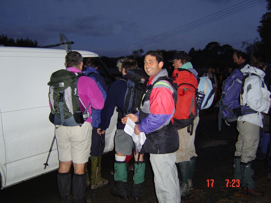
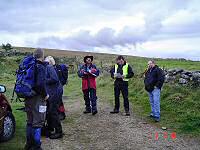
Registration of the OATS walk at 7.30 in the morning at Ivybridge. |
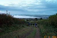 |
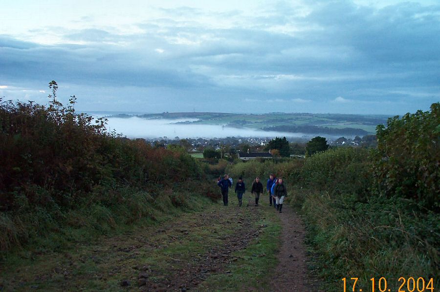
Dawn breaks as we walk up the 2 Moors way beyond Stowford - SX
643573.
|
 |
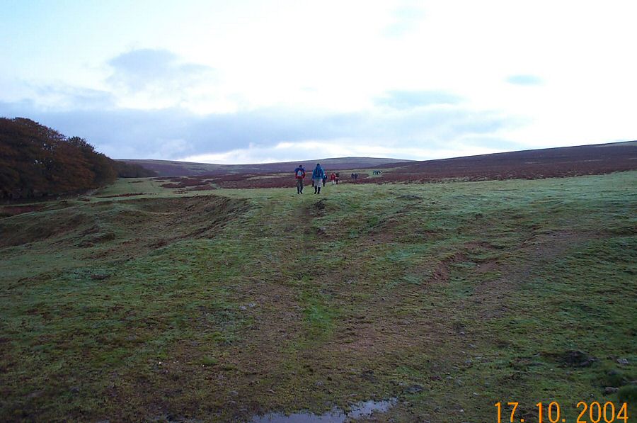
Getting onto the moor at Stowford gate.
|
 |
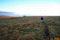
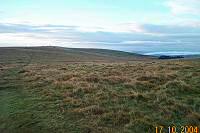
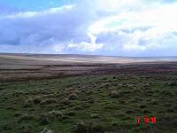
A backwards view towards Ivybridge.
|
 |
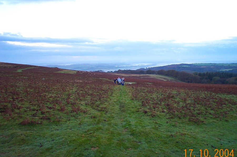
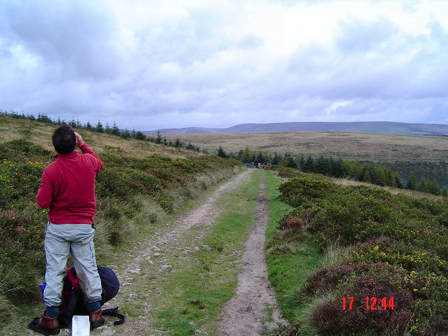
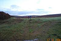
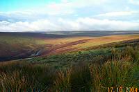
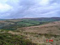
Looking south towards Western Beacon from the side of Butterdon
Hill.
|
 |
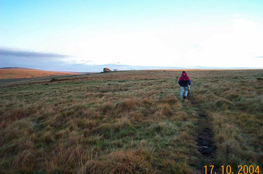
Walking over Weatherdon Hill towards Hangershell Rock. The name
Weatherdon probably refers to the old name for castrated rams (wethers)
- and so means the place where wethers were pastured.
|
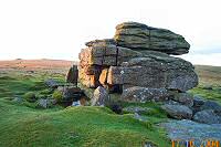 |
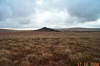
Hangershell Rock - SX 655594. The clitter around this isolated
rock suggests that it was once a big tor.
|
 |
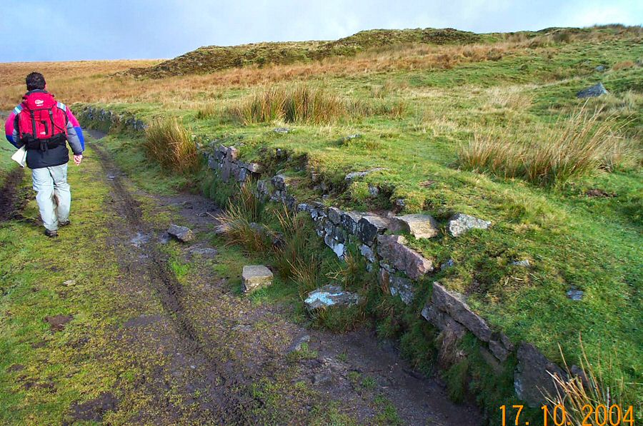
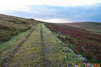
The Two Moors way - part of the Red Lake Puffing Billy trackway.
|
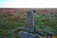 |
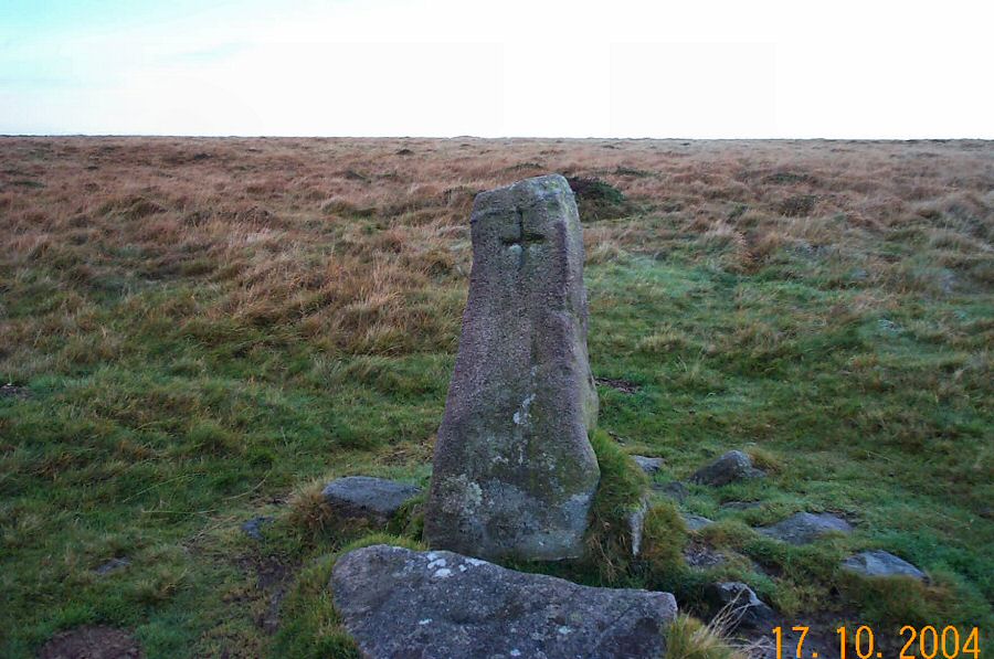
Hobajohn's Cross - SX 655605. This is a rough replacement from
the original cross which was probably rather large judging by the
size of the sockets stones that surround this cross. The original
cross was probably hauled off to serve boundary time at
Three Barrows
in
1560. It
has now disappeared.
|
 |
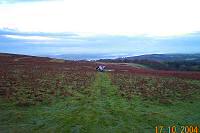
Looking south over towards Butterdon Hill. The woods surrounding
Harford reservoir on the lower right.
|
 |
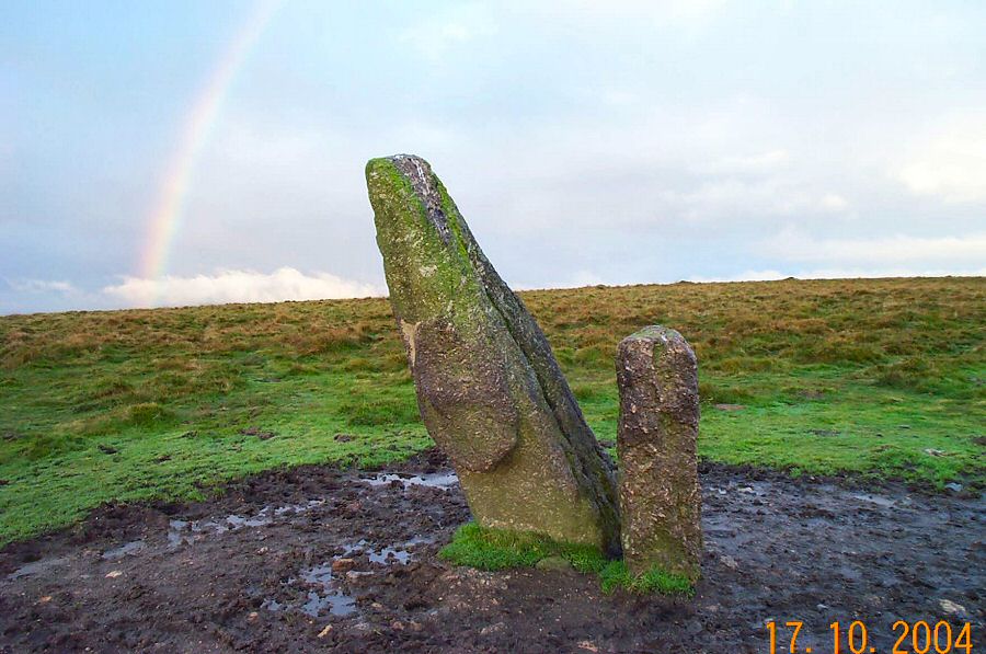
The Longstone - SX 654607. On the left the original menhir and
on the right is the small 19th century bondstone.
|
 |
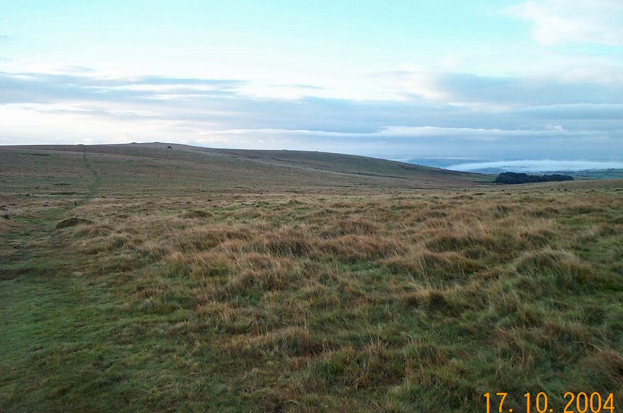
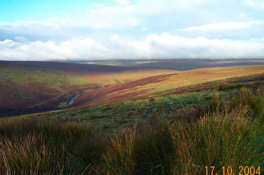
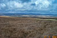
Looking down the Erme valley from near Sharp Tor.
|
 |
Two moors way just past Sharp Tor.
|
 |
Approaching Leftlake Mire.
|
 |
Leftlake Mire - SX 647635. This is the remains from a china clay
venture.
|
 |
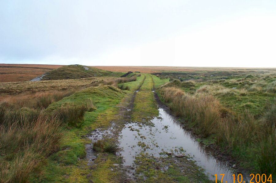
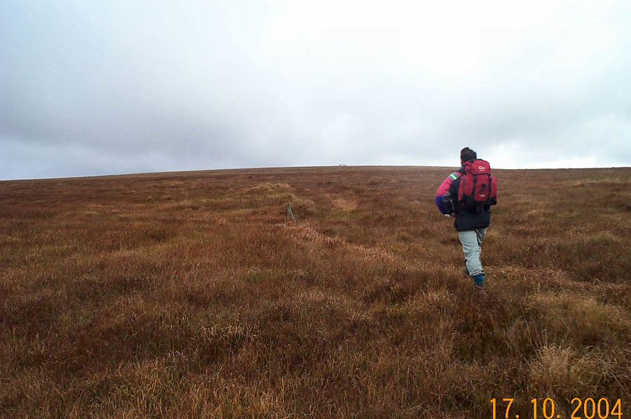
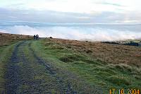
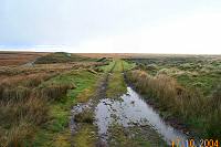
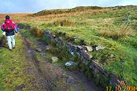
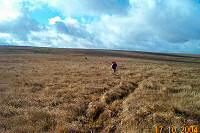
Carrying along the track.
|
 |
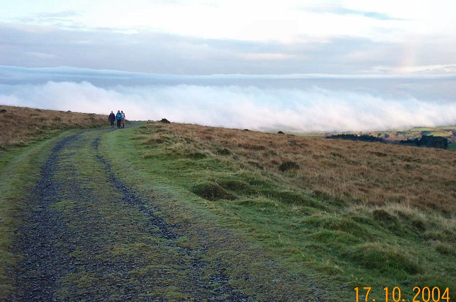
Looking south west from the trackway at Brown Heath - SX 644658.
|
 |
This looks like an old loading platform.
|
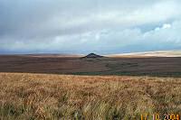 |
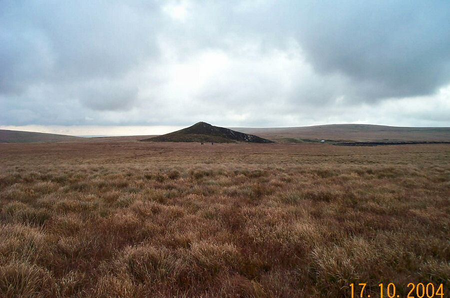
The Red lake pyramid.
|
 |
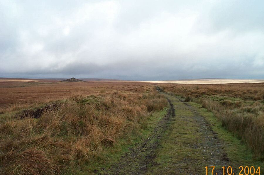
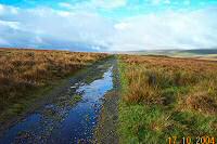
The trackway that leads to Red Lake.
|
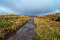 |
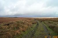
Nearly there.
|
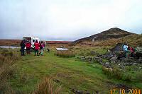 |
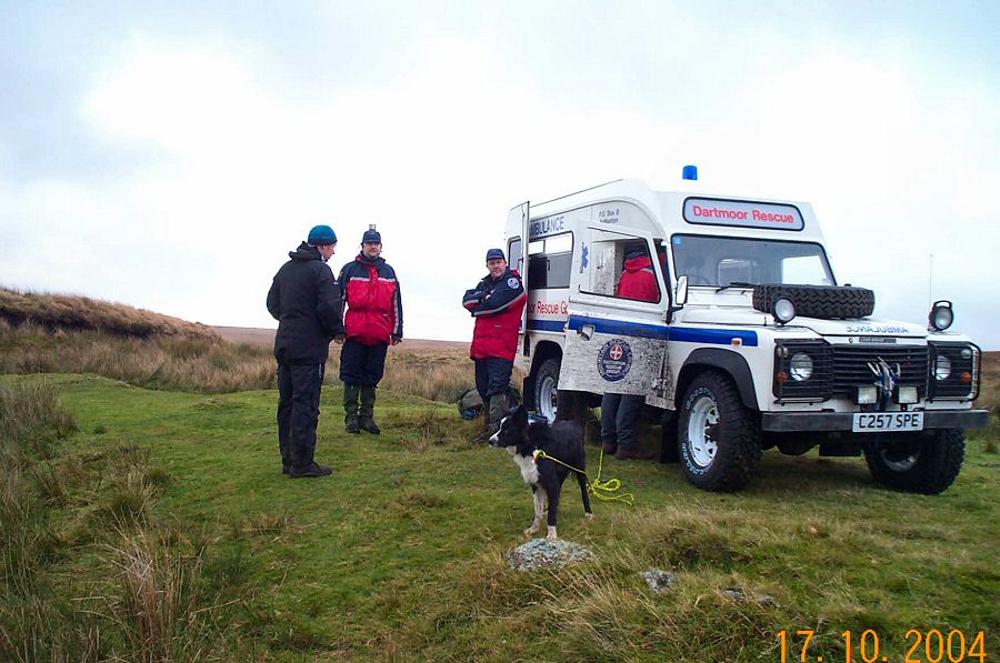
The check point at Red Lake.
|
 |
A closer look at the check point.
|
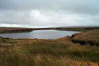 |
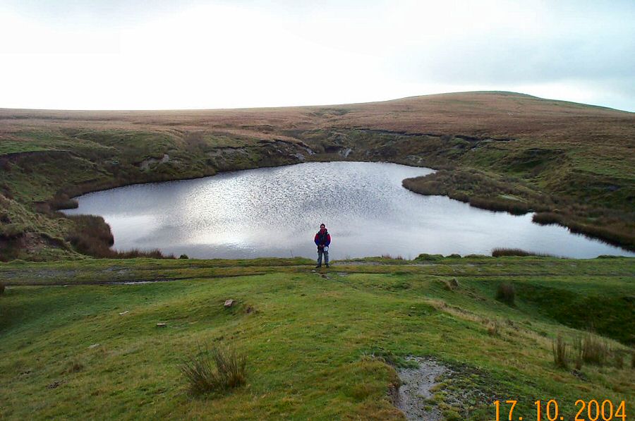
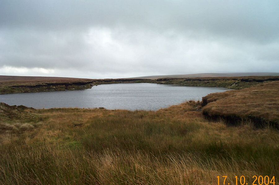
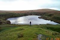
The lake at Red Lake.
|
 |
Walking up towards Green Hill. |
 |
Looking back at the Red Lake pyramid from the "slopes" of Green
Hill. |
 |
The NE view from the side of Green Hill. You can see the valley
of the Avon as it flows between Naker's and Ryder's hills. |
 |
The NE slopes of Green Hill. Red Lake in the distance. |
 |
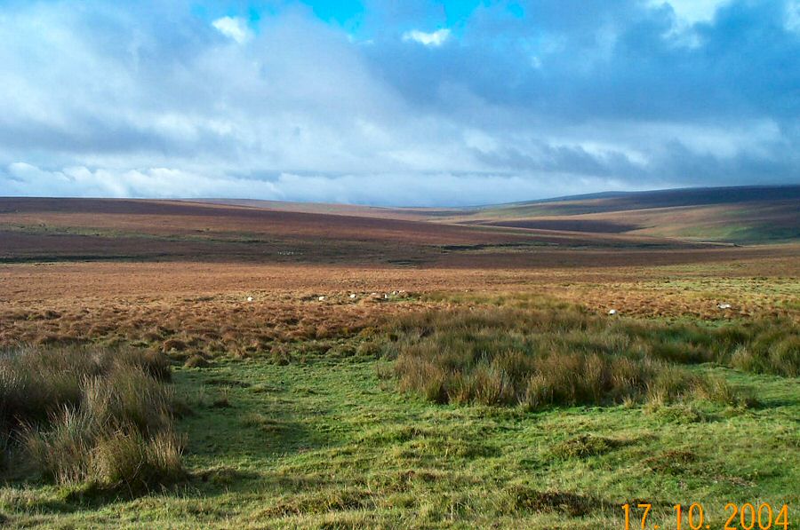
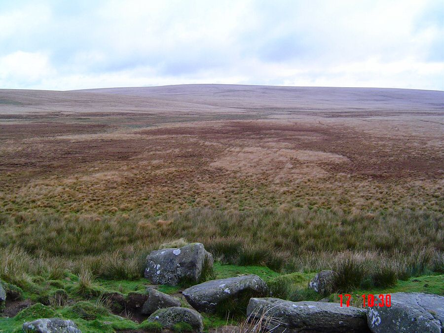
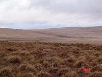
Fishlake Mire - one of the bleakest parts of southern Dartmoor.
This was originally a tarn fed by the upper Avon that contained
fish such as trout and salmon. It was drained by tinners over 400
years ago. Now it is a large basin of purple moor grass and bog
cotton. |
 |
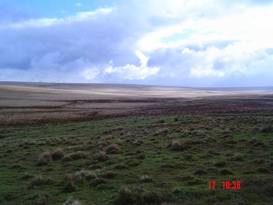
The remote wilderness of Fishlake. |
 |
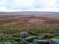
The thick grass of Naker's Hill. This is not nice stuff to
walk through. |
 |
Coming over the top of Ter Hill at SX 644701. The gert of Skir
Gut is on the right. |
 |
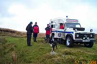
The check point at Hexworthy. |
 |
Approaching Hexworthy Bridge. |
 |
Looking east towards Babeny from SX 655753. The edge of Riddon
Ridge is on the left. |
 |
A brief pause before the Laughter Hole gate - SX 655755 |
 |
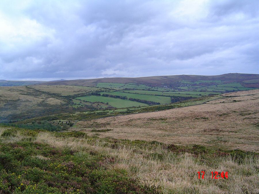
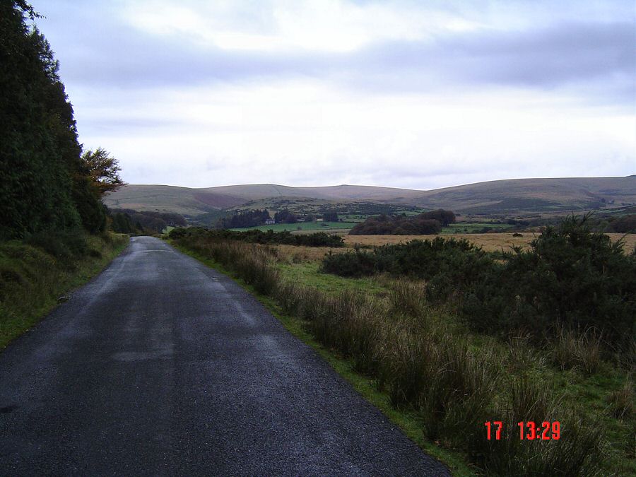
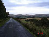
Looking back at Bellever from SX 653777. |
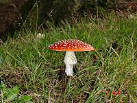 |
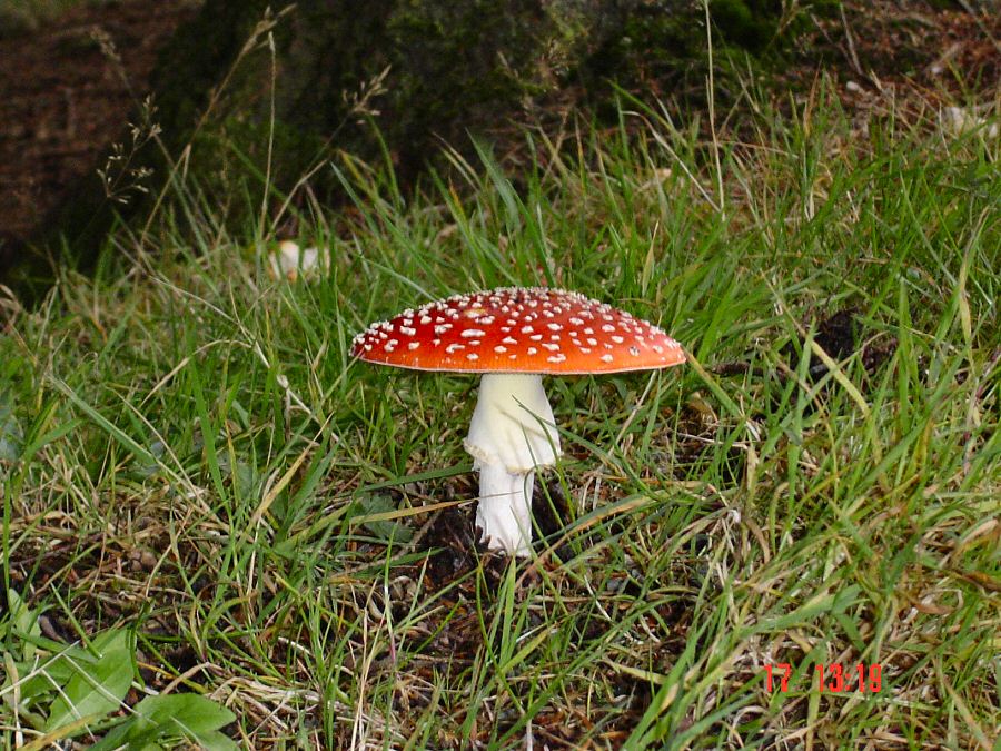
A Fly Agaric beside the Postbridge - Bellever road. Unfortunately,
many of these beautiful fungi had been smashed up. |
 |
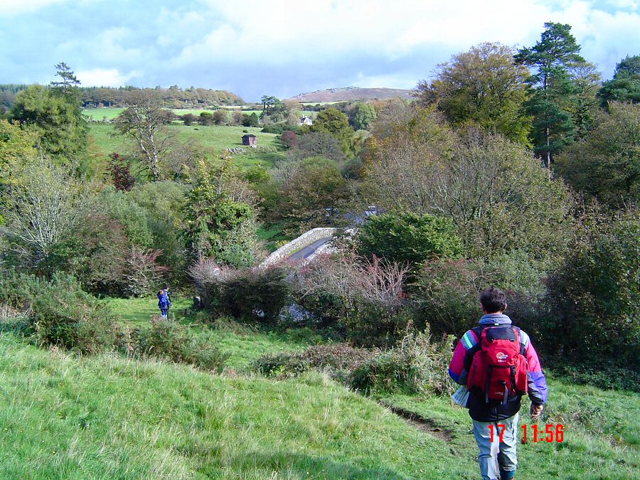
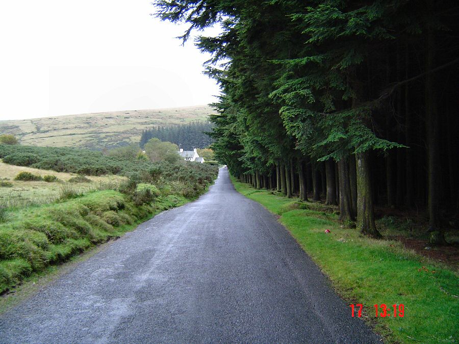
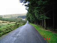
Approaching Postbridge from Bellever. |