All | Little | Shorter | Standard | Longer | Tors | Relics | History | Links | Panoramas | Home
|
||||||||||||||||||||||||||||||||||||||||||||||||||||||||||||||
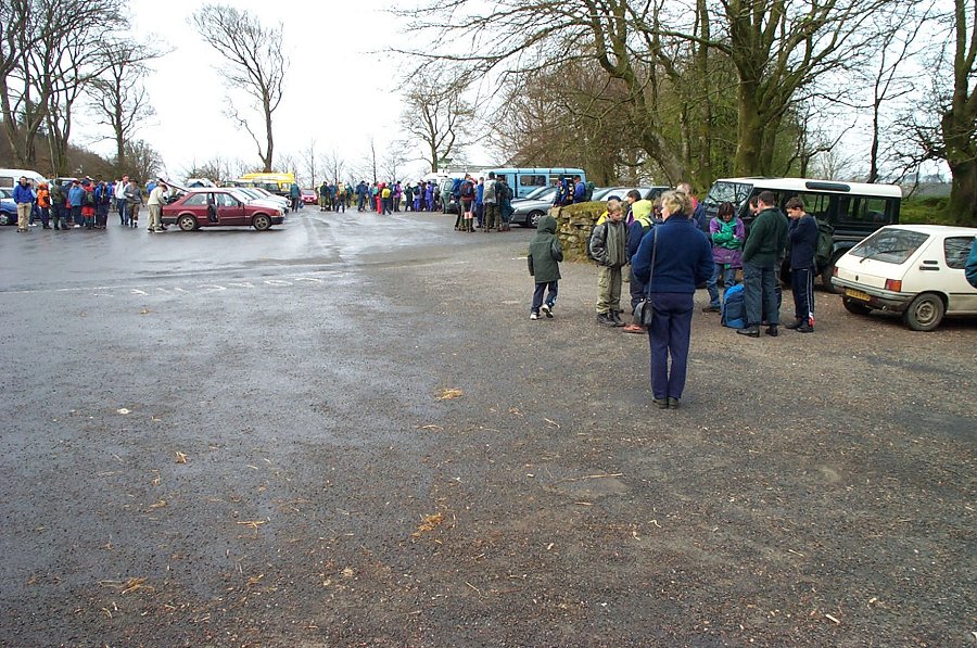
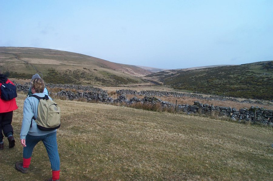
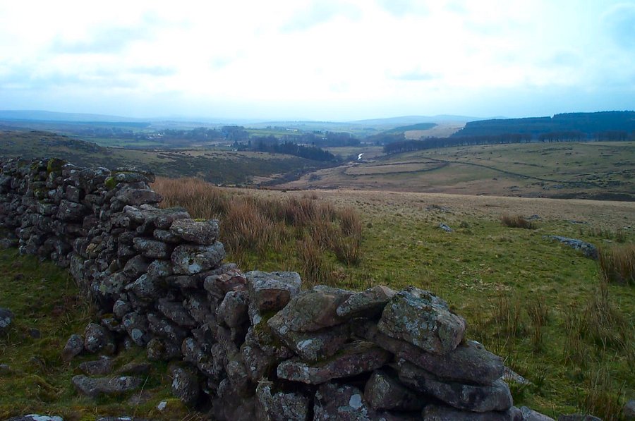
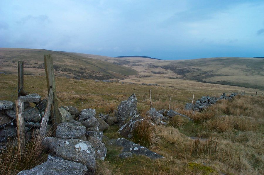
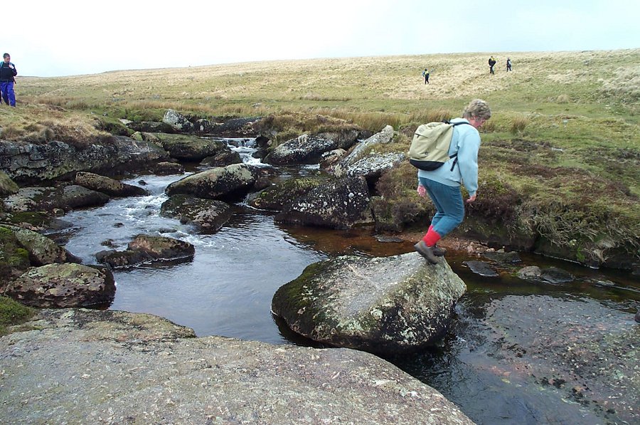
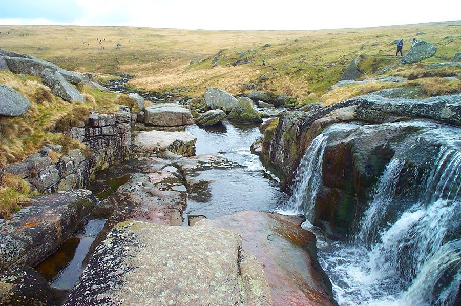
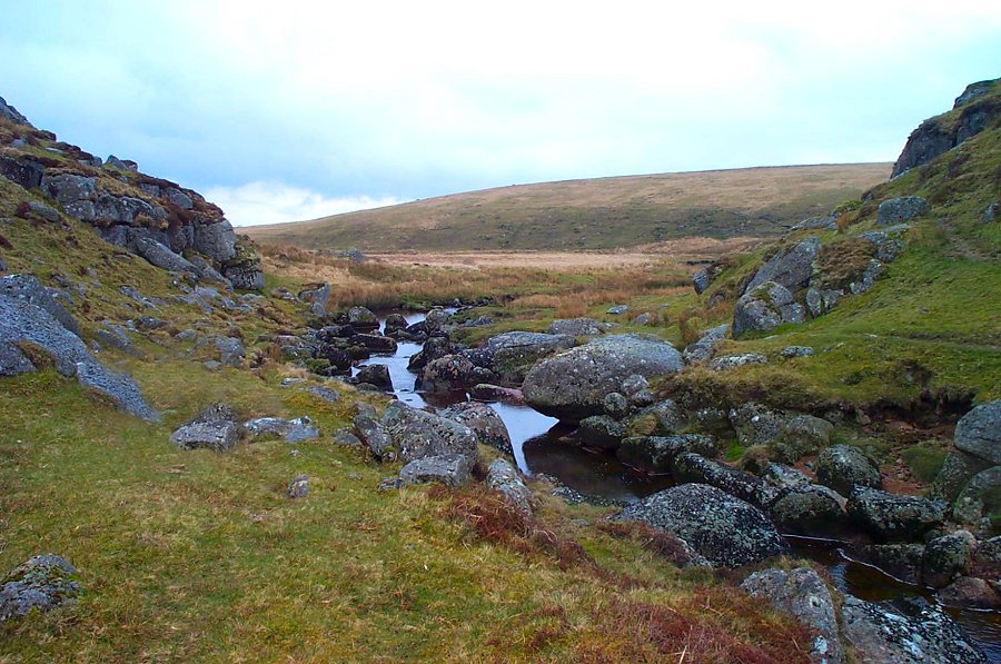
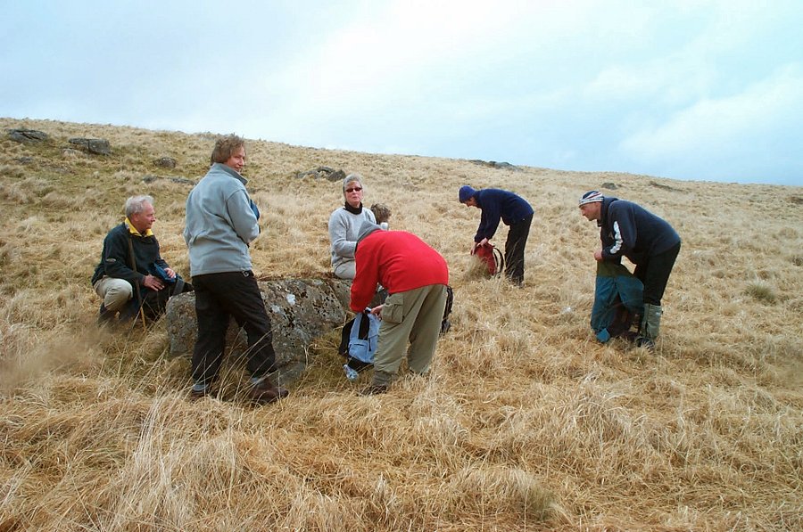
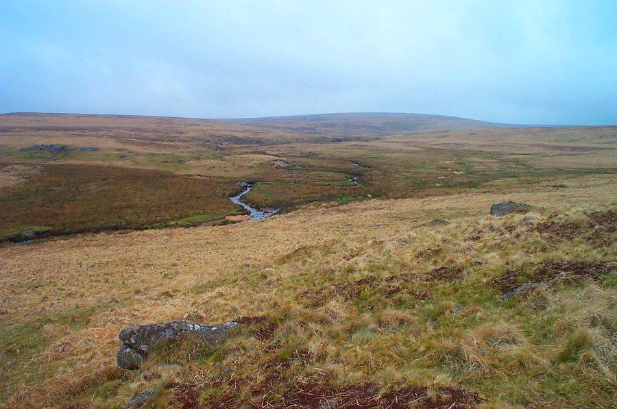
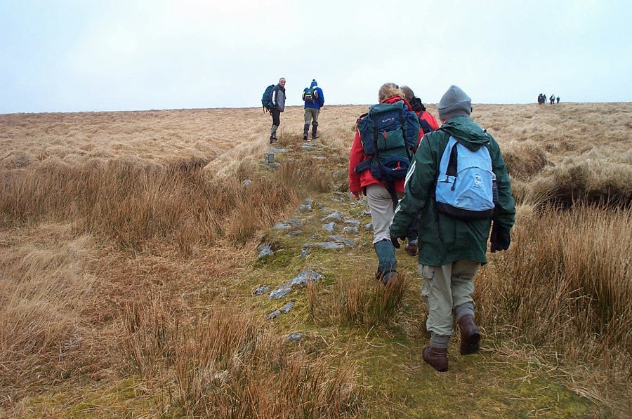
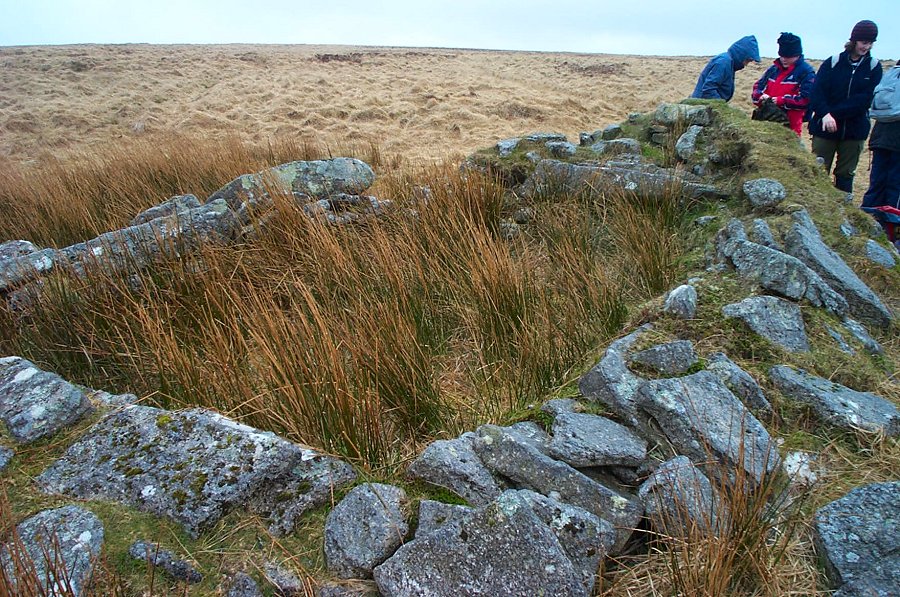
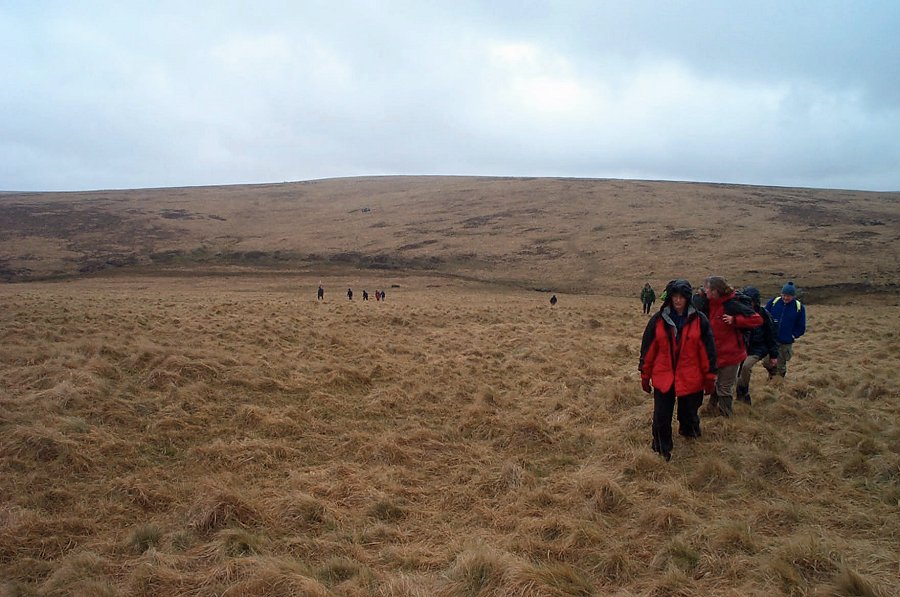
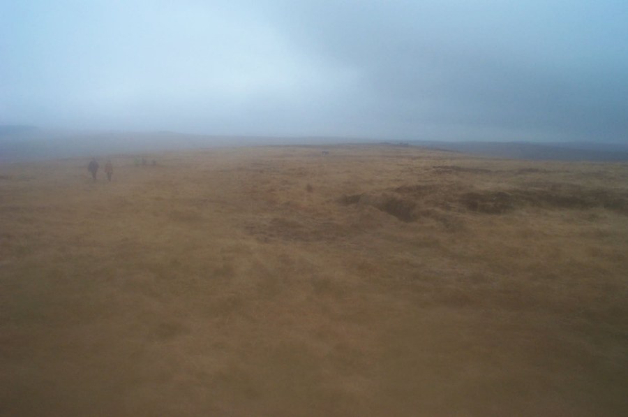
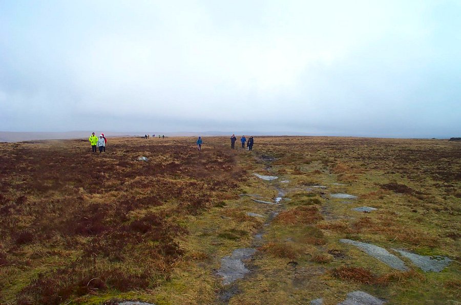
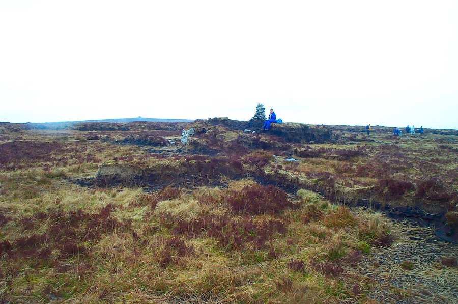
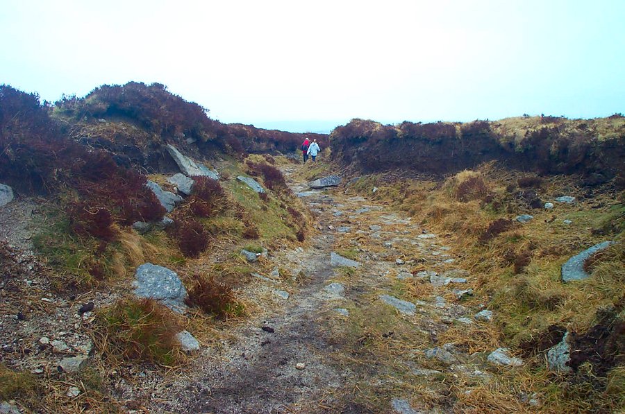
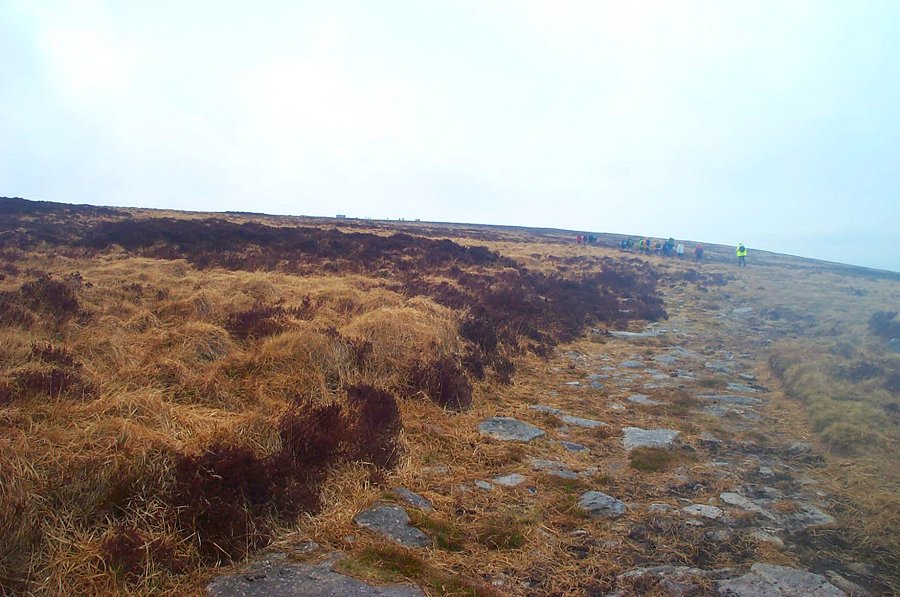
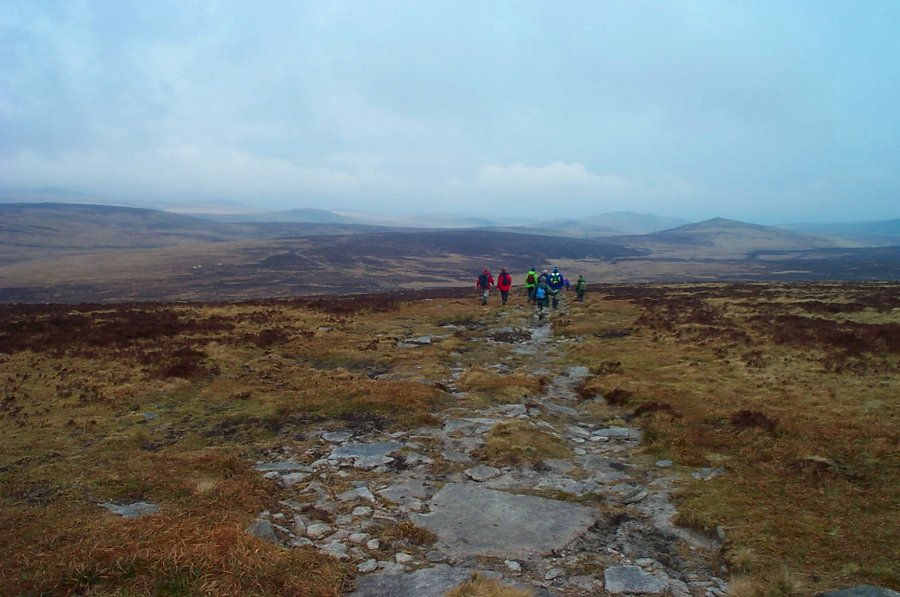
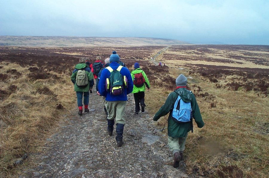
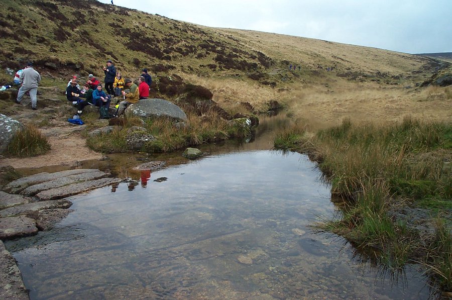
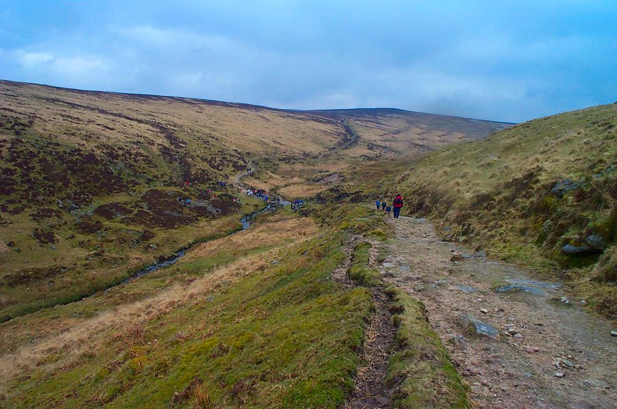
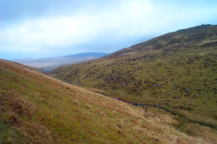
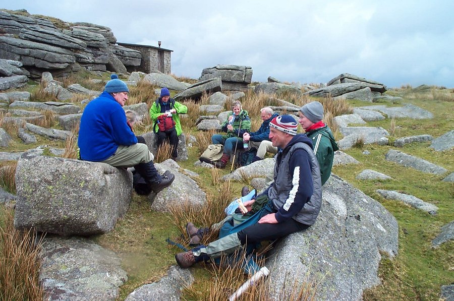
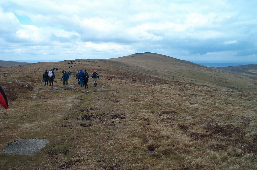
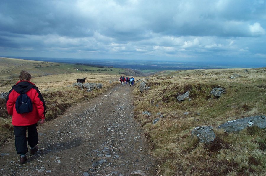
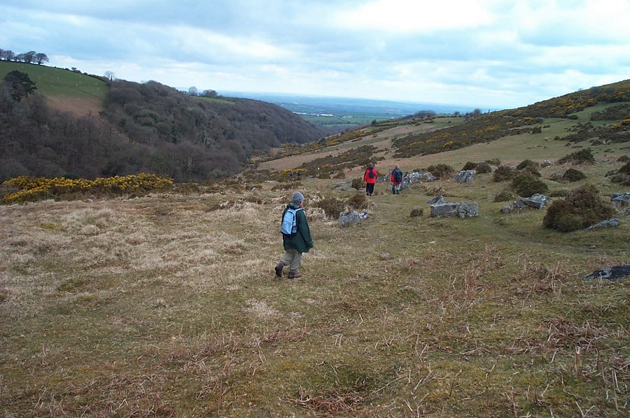
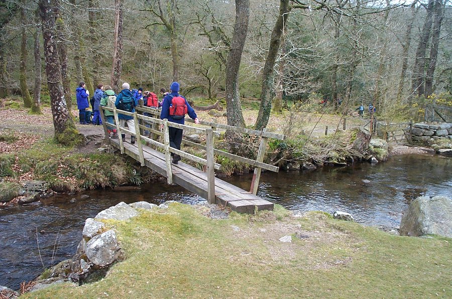
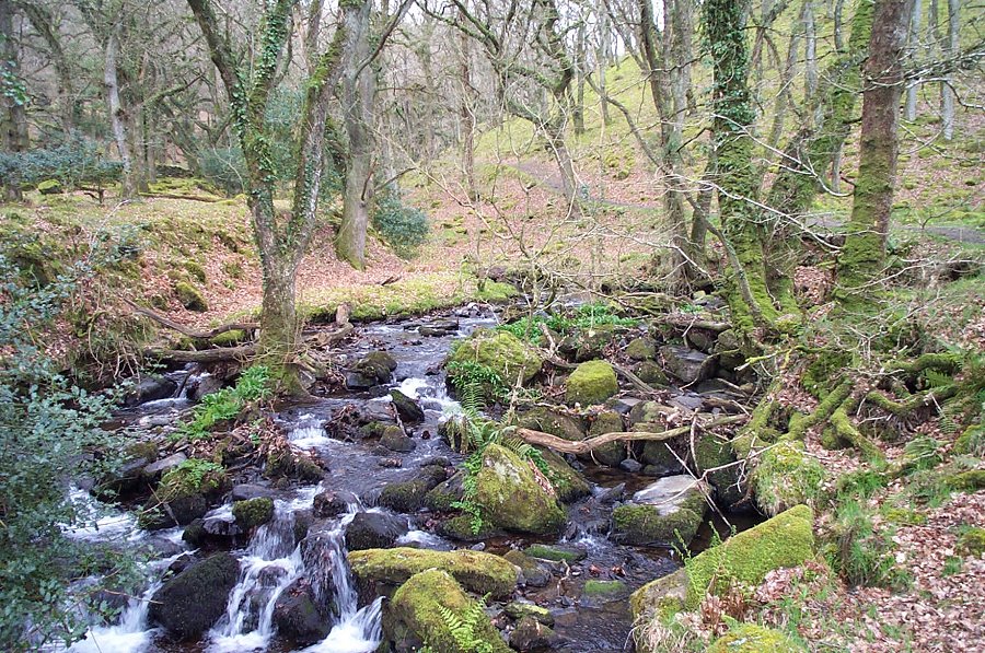
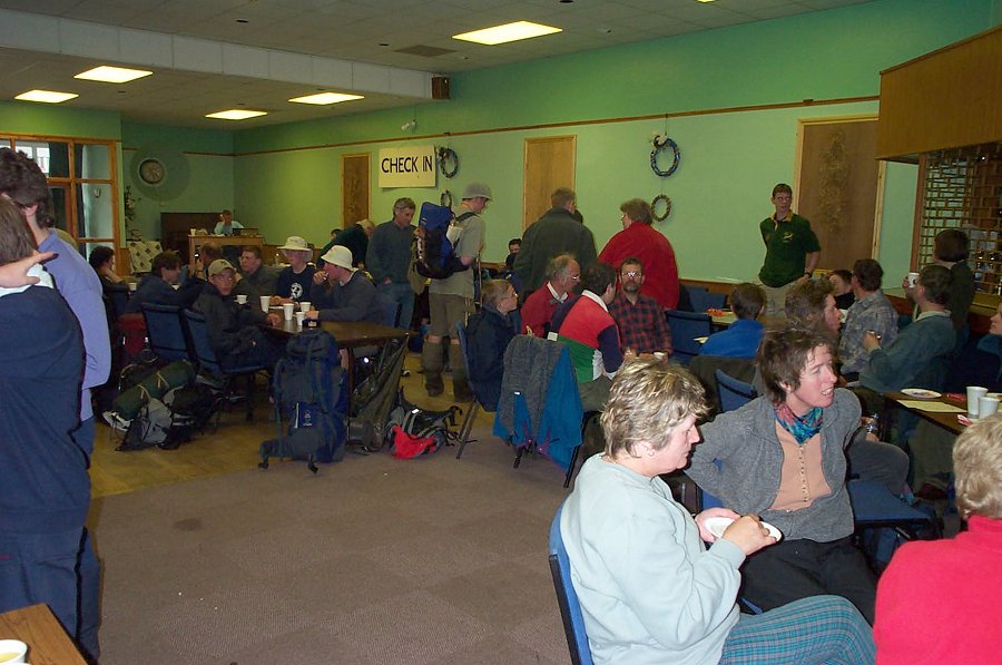
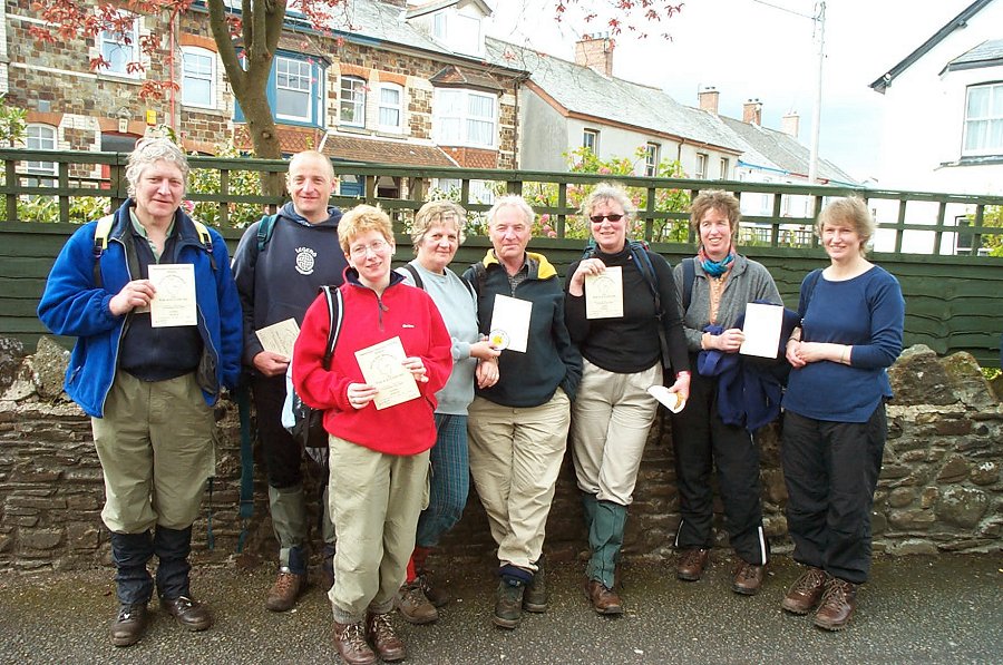
Oats Walk - 2002The Oats walk across Dartmoor takes place most years on a Sunday in mid April. It is open to all. Walkers travel from south to north and get an exciting taste of inner Dartmoor plus a pasty, cup of tea and certificate at the end. There are 2 sections - the southern moor walk from Ivybridge to Postbridge and the Postbridge to Okehampton walk over the northern moor. Both walks are over 12 miles, but most people do the Postbridge - Okehampton stretch.The Oats walk is an ideal introduction to Northern Dartmoor for those who haven't ventured very far over the moor. Because there are many walkers around it is easy to see what the routes across the moor are plus you are secure in knowing that support services are around if needed. The walk is challenging without being taxing (bad weather excluded).Park at the Postbridge National Park bookshop (SX 646788) and take the Drift Lane path which starts at the western end of the car park. Proceed past Roundy Park, head in a NW direction, cross Braddon lake (a stream), walk over Broad Down and walk down to the waterfall. Cross the East Dart and make for Sandy Hole Pass. Skirt past Broad Marsh and make for Statt's House via the peat pass. Head due north over rough wet ground for Quintin's Man and then walk along the ridge to Hangingstone Hill. From this half way point a well defined military track takes us to Oke Tor and Winter Tor and then we drop down off the moor to the East Okement valley. The final part takes us through Halstock Wood, under the A30 and finally we enter Okehampton. Tired but full of achievement.
|
||||||||||||||||||||||||||||||||||||||||||||||||||||||||||||||
All | Little | Shorter | Standard | Longer | Tors | Relics | History | Links | Panoramas | Home | ||||||||||||||||||||||||||||||||||||||||||||||||||||||||||||||