All | Little | Shorter | Standard | Longer | Tors | Relics | History | Links | Panoramas | Home
|
||||||||||||||||||||||||||||||||||||||||||||||||||||||
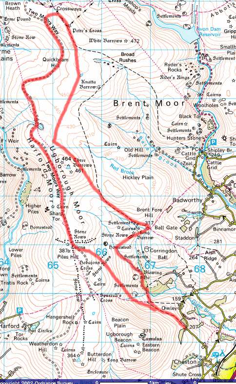
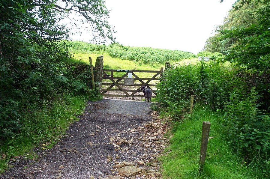
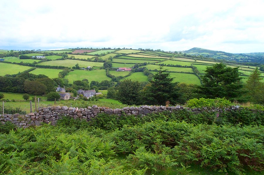
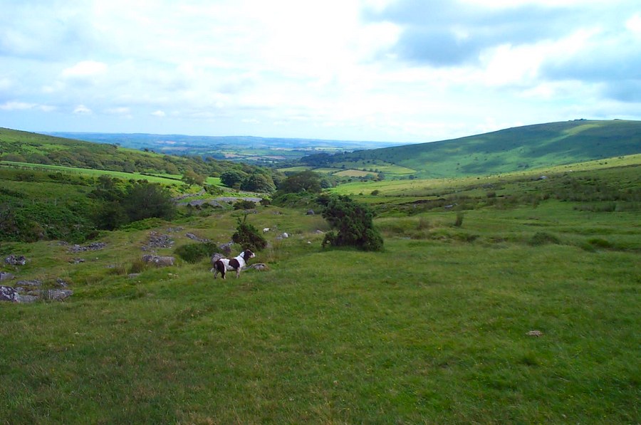
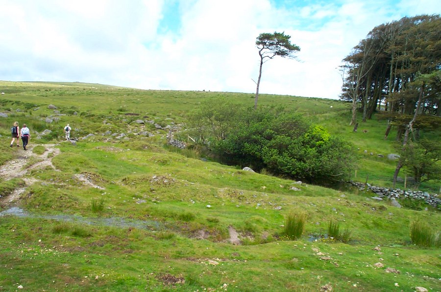
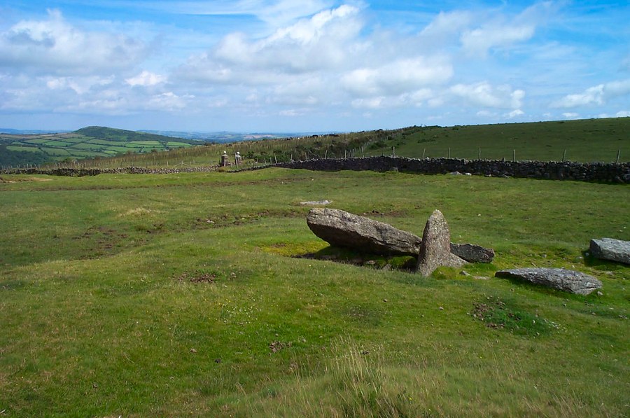
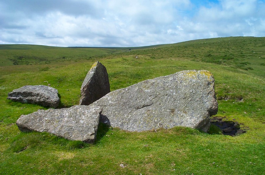
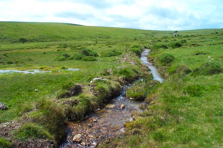
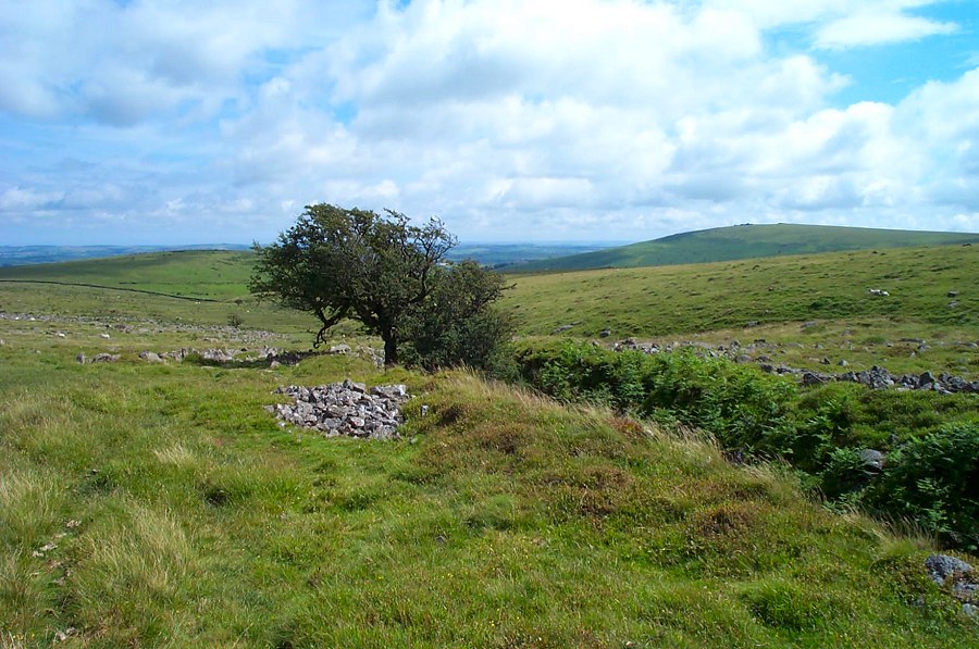
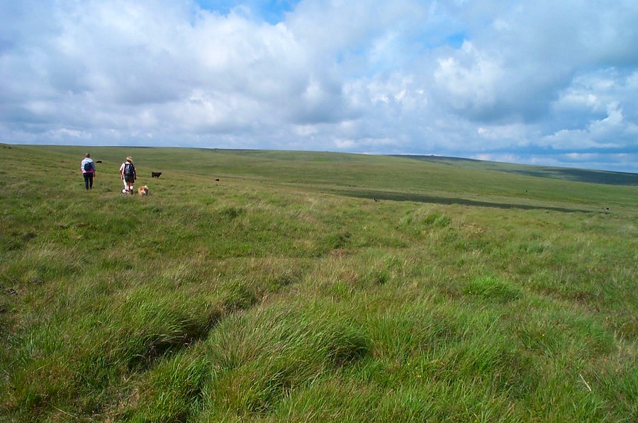
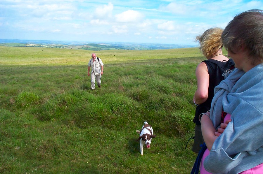
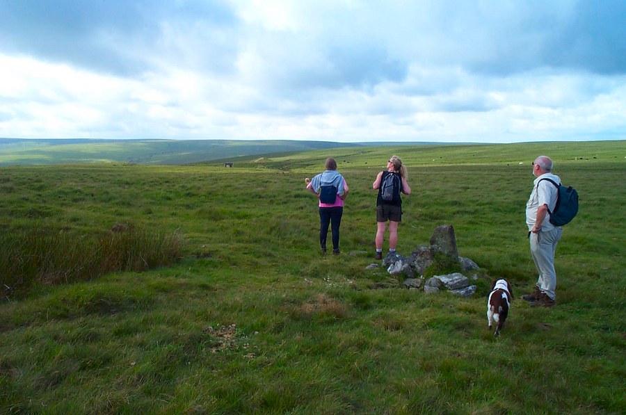
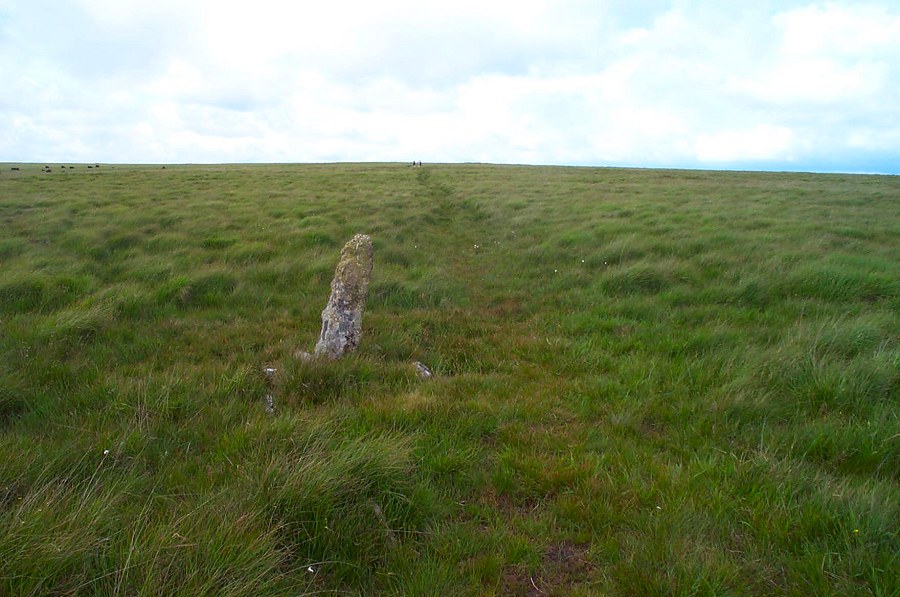
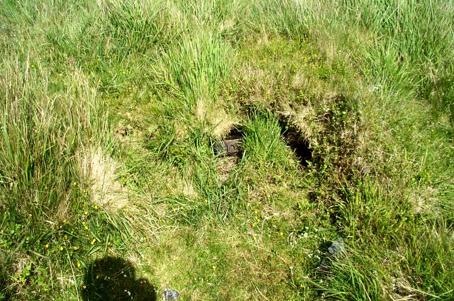
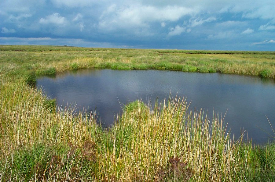
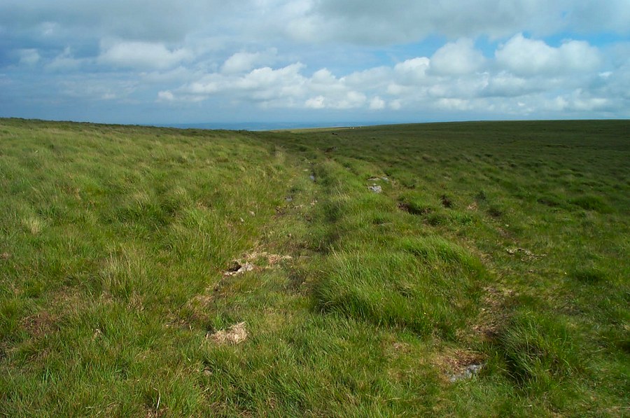
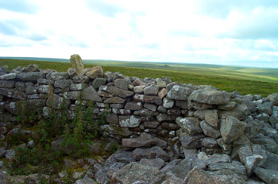
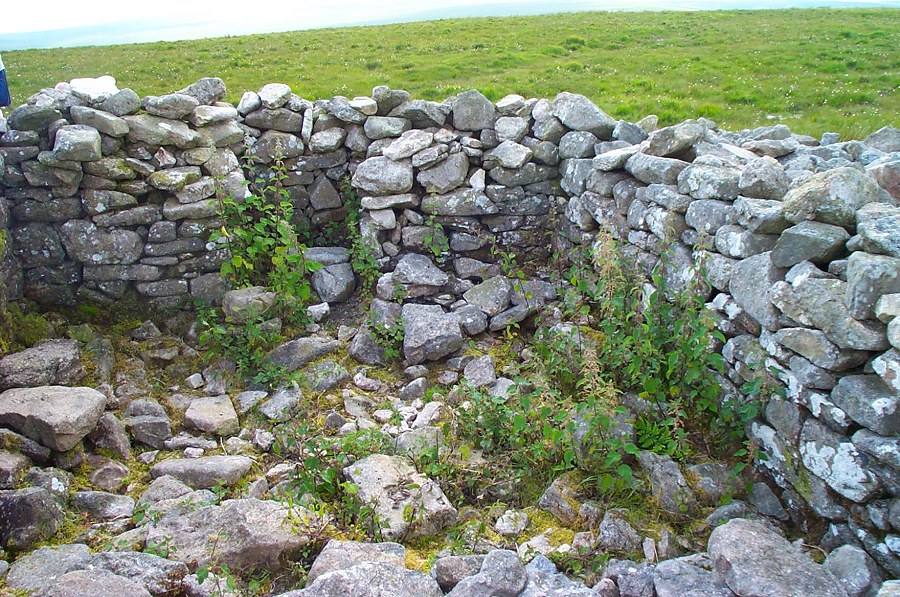
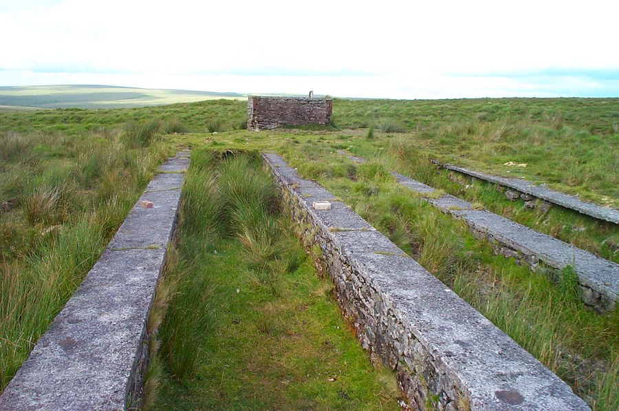
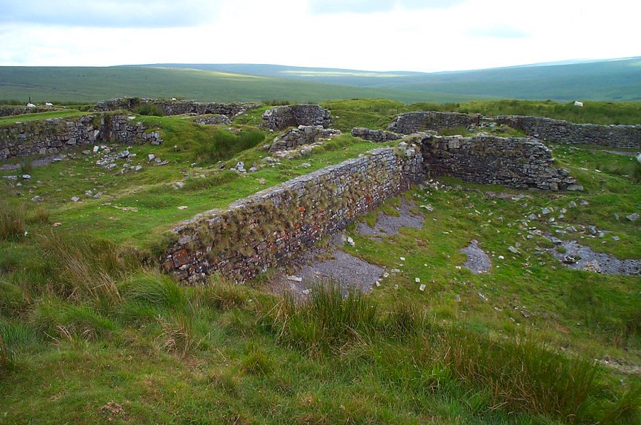
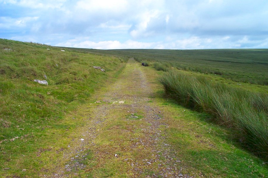
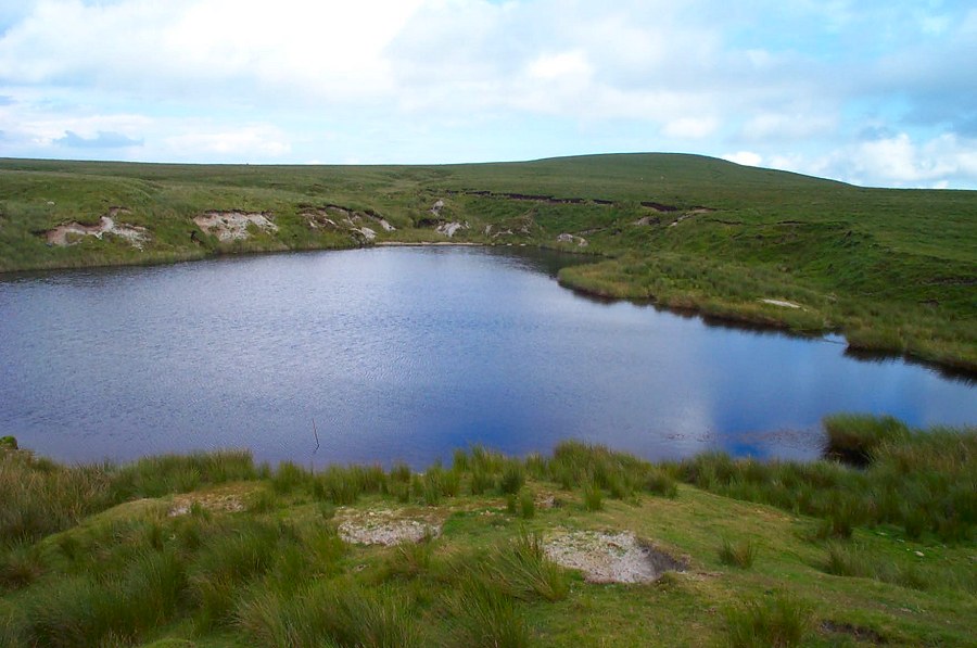
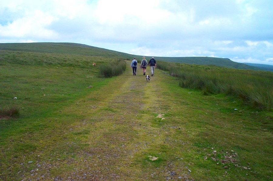
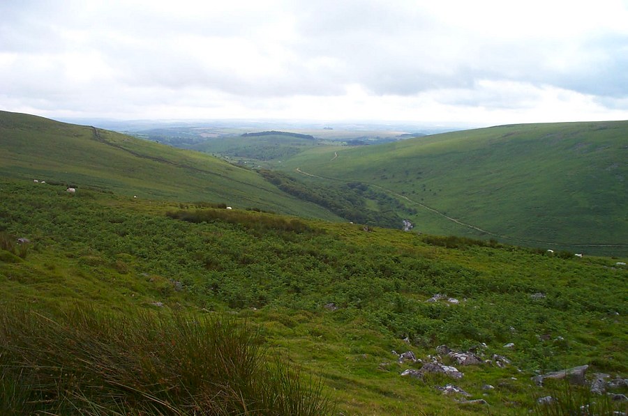
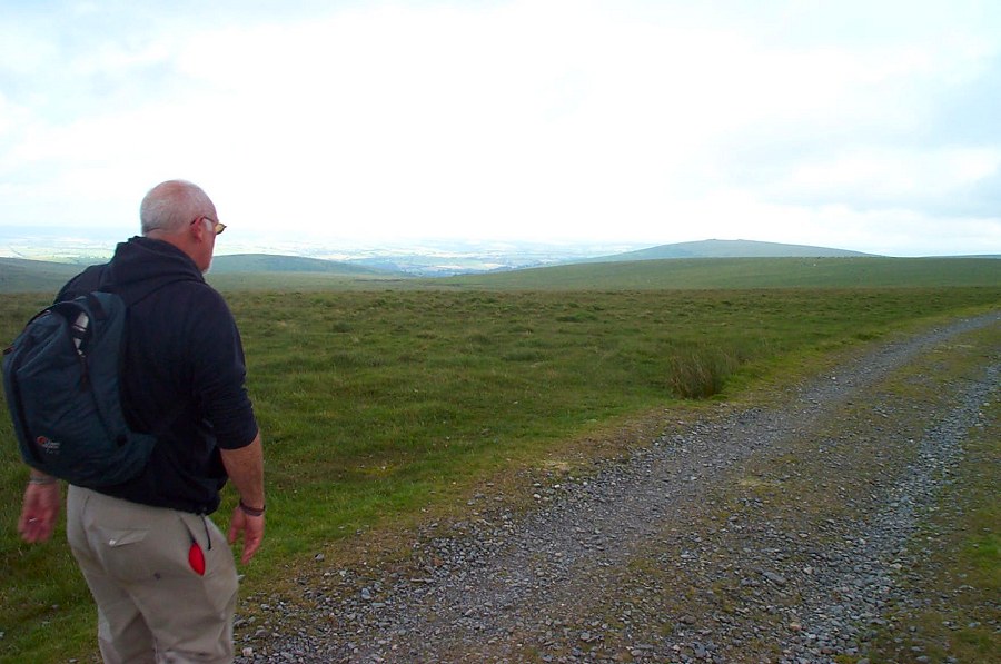
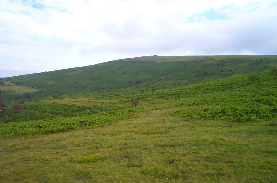
Ugborough MoorUgborough Moor covers the most southern part of the moor. There are very few tors in this part of the moor but a lot of old and not so old remains of human activity on the moor. Part of this walk is along the Two Moors way.Start by parking at Peek Moor Gate (SX 677593). There's only room for a couple of cars but it isn't terribly popular. Follow the path to Owley corner and then follow the West Glaze Brook to Glasscombe Corner. Head NE towards Ball Gate. Then follow the East Glaze up to Three Barrows. We skirted the hill on the east side. Just north of Three Barrows take the path that leads to Quickbeam Hill and then join the old Zeal Tor peat tramway that takes you beside Western White Barrow. After admiring the view head west which soon takes you to the old Puffing Billy track. Follow this until you get to Piles Hill or Glasscombe Ball from where you can head off SE back towards Owley and Peek Moor Gate.This is a walk of nearly 10 miles. Although the ground is rarely rough the ground over Quickbeam Hill is wet. The walk takes you into the high moor so be careful of mist. No military areas.
|
||||||||||||||||||||||||||||||||||||||||||||||||||||||
All | Little | Shorter | Standard | Longer | Tors | Relics | History | Links | Panoramas | Home | ||||||||||||||||||||||||||||||||||||||||||||||||||||||