All | Little | Shorter | Standard | Longer | Tors | Relics | History | Links | Panoramas | Home
|
||||||||||||||||||||||||||||||||||||||||||||||||
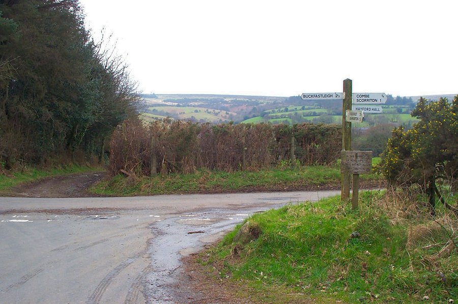
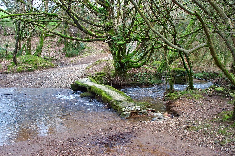
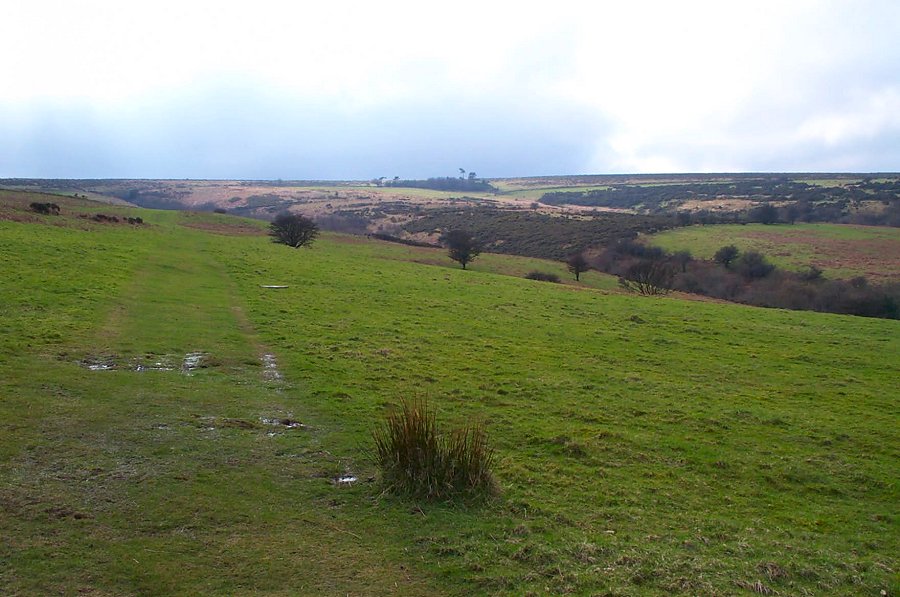
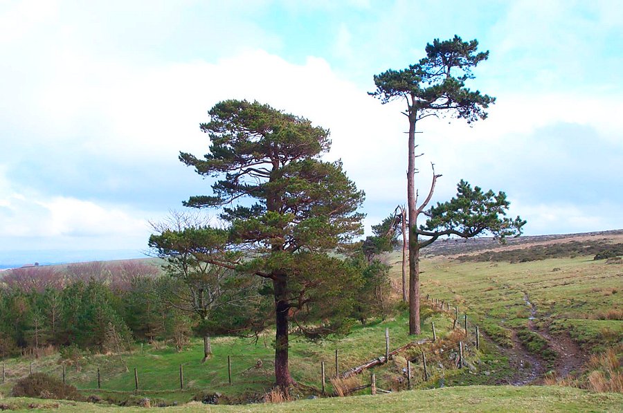
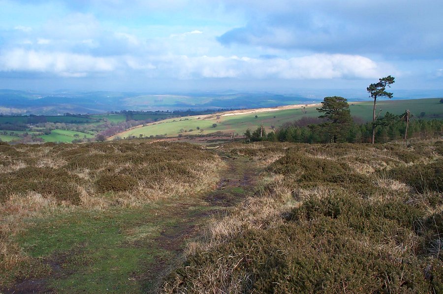
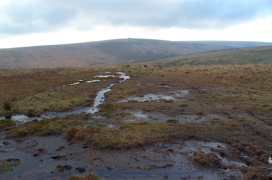
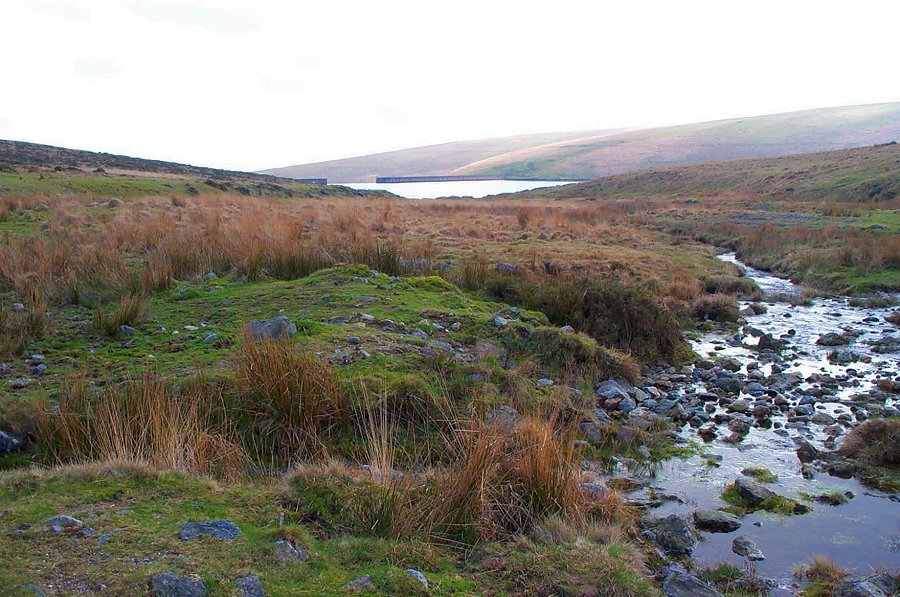
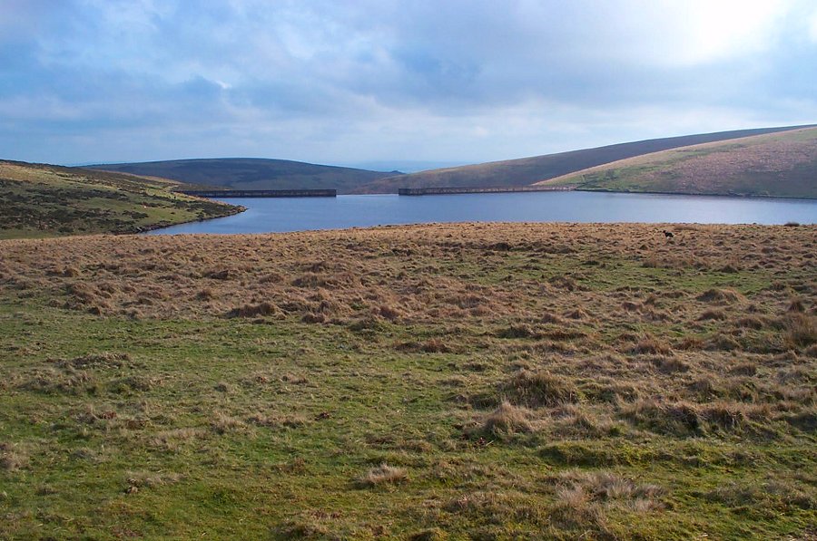
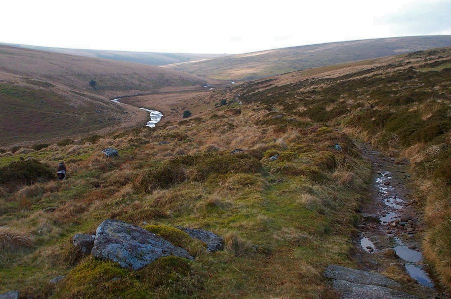
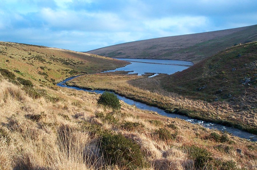
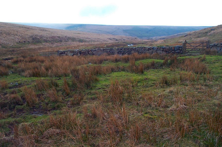
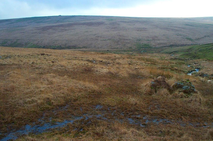
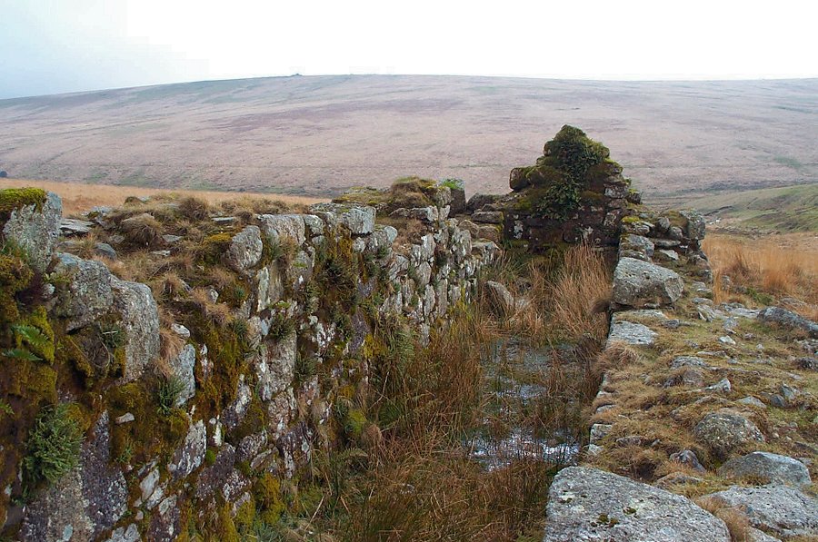
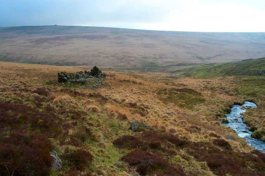
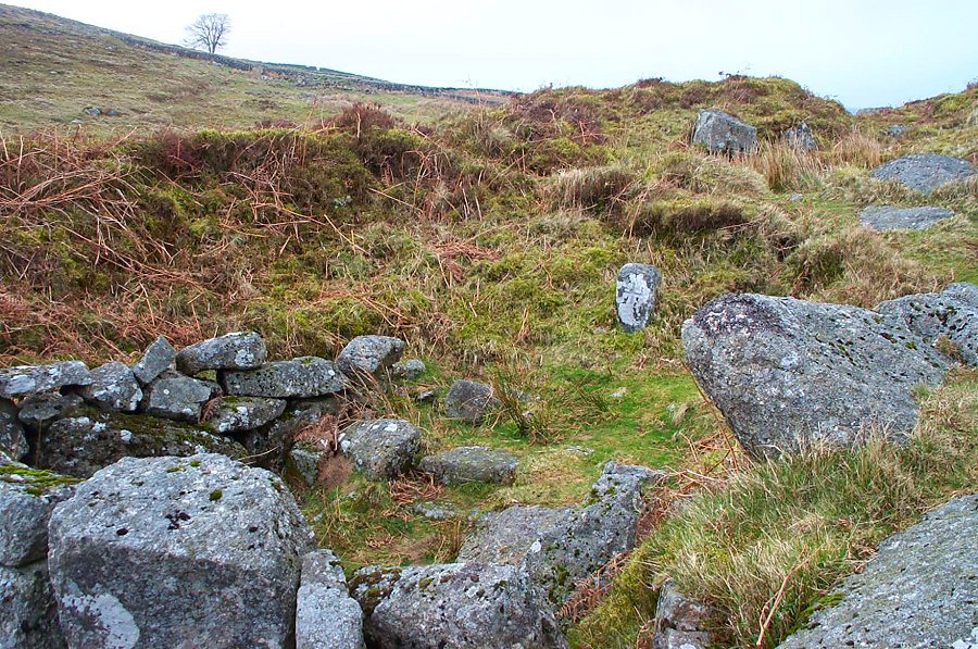
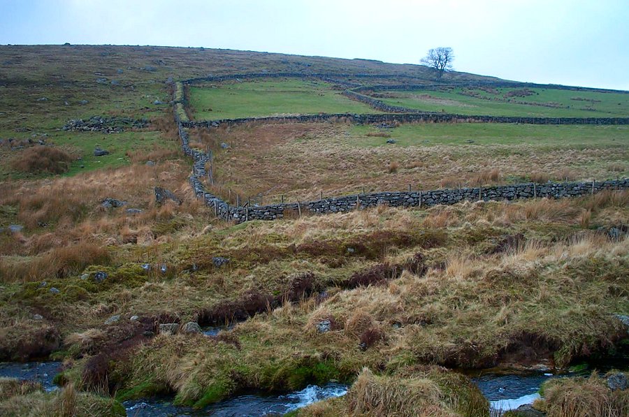
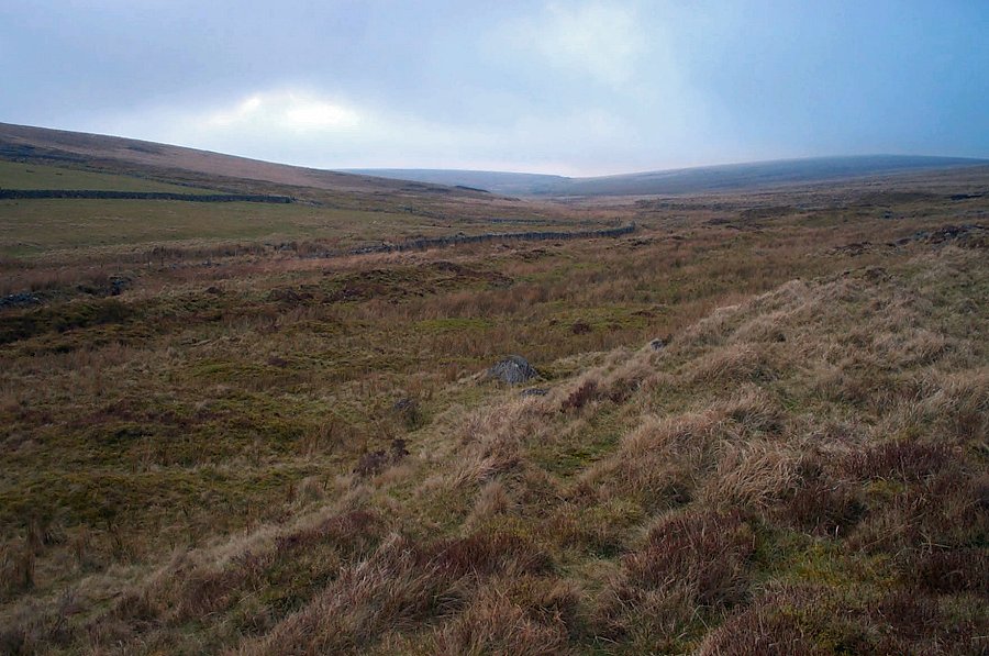
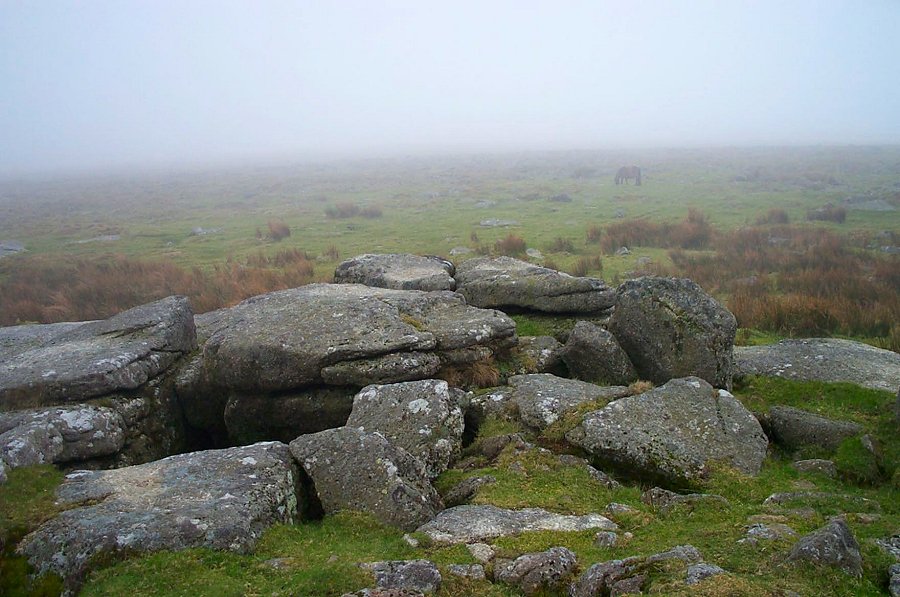
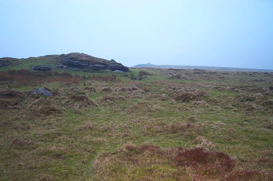
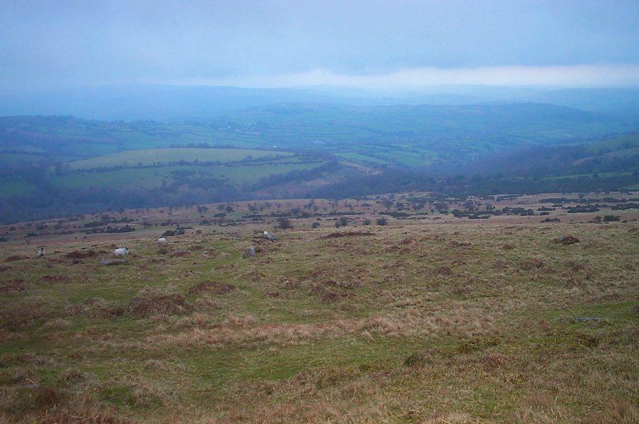
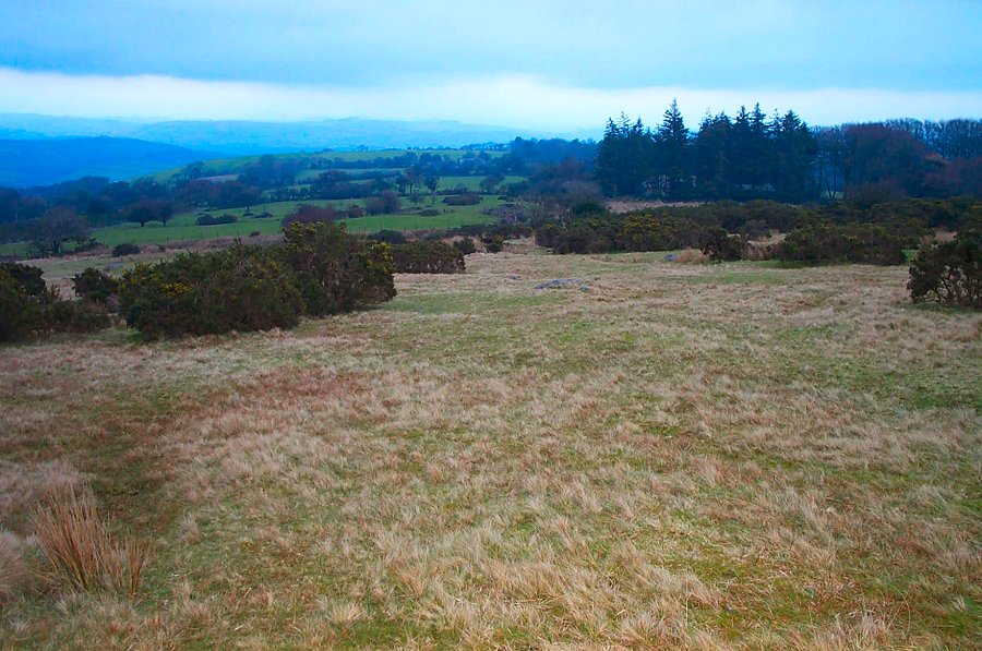
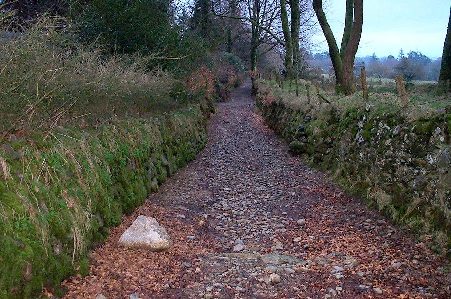
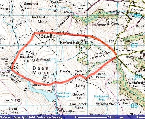
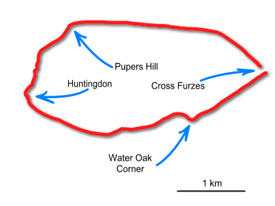
Pupers HillPupers Hill (SX 673674) is one of the peaks of the extensive Dartmoor ridge that overlooks Buckfastleigh. There are 3 rock piles - Inner, Middle and Outer Pupers. The word Pupers is derived from Pipers - a Dartmoor tradition where those people who piped or danced on Sundays would be turned into stone. There are good views from the summit. Pupers is easy to get to - and the described walk gives entry points to get further into the southern moor if you wish.Park at Cross Furzes (SX 700666) and follow the path of the old Abbot's Way (or Jobber's Path) over Lambs Down, Water Oak Corner and past the Avon Reservoir and make for the old Huntingdon's Cross. Then turn north up the Wella Brook valley. Once past the Huntingdon Farm enclosures that are on the western side of the stream head NE up to the Pupers rocks. Then head back down the slope towards Lud Gate. The path then takes you back to Cross Furzes.This is an easyish walk with a couple of wet bits near Huntingdon's Cross. Be careful of bad weather. Allow 3 hours for a 5 miles walk. No military areas.
|
||||||||||||||||||||||||||||||||||||||||||||||||
All | Little | Shorter | Standard | Longer | Tors | Relics | History | Links | Panoramas | Home | ||||||||||||||||||||||||||||||||||||||||||||||||