All | Little | Shorter | Standard | Longer | Tors | Relics | History | Links | Panoramas | Home
|
||||||||||||||||||||||||||||||||||||||||||||||||||||||||||||||
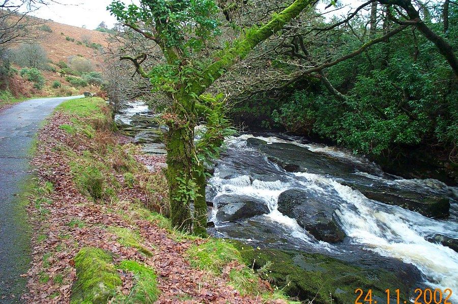
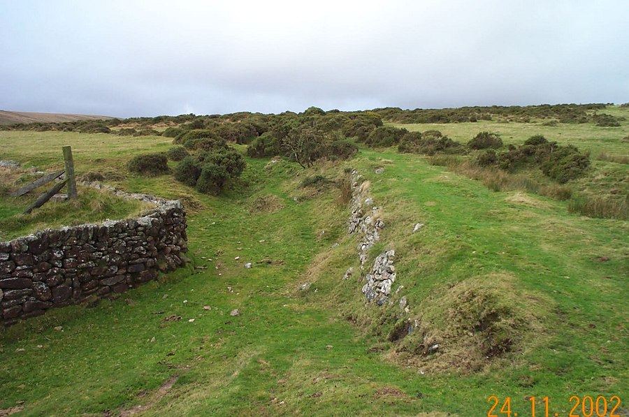
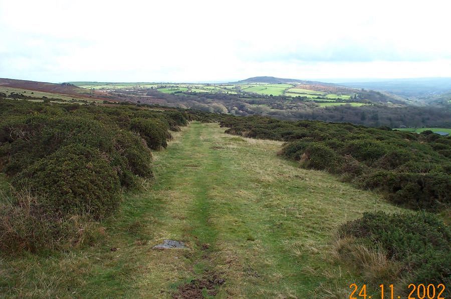
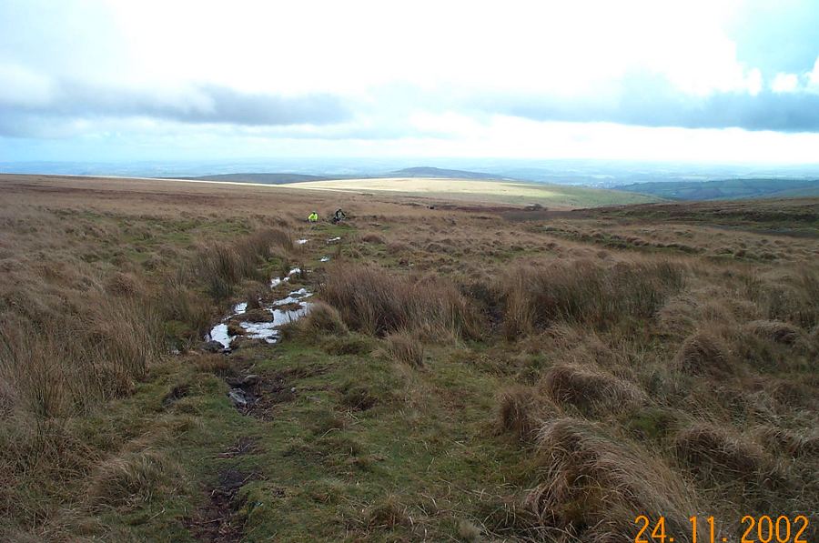
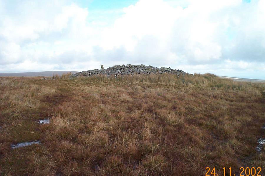
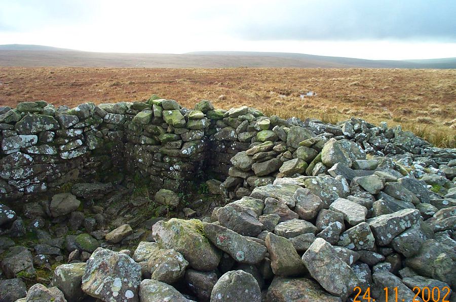
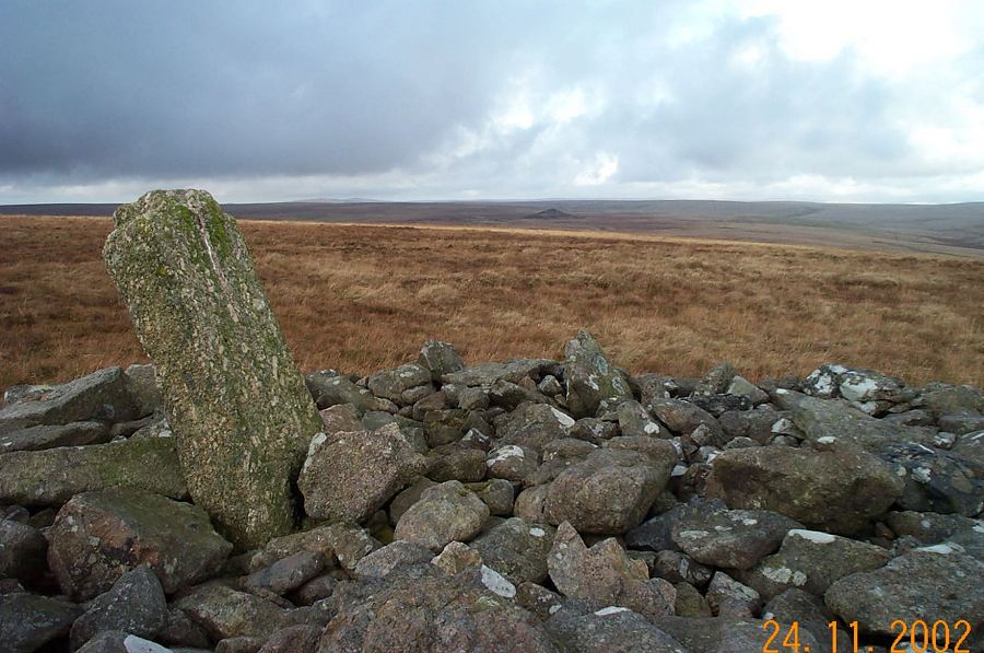
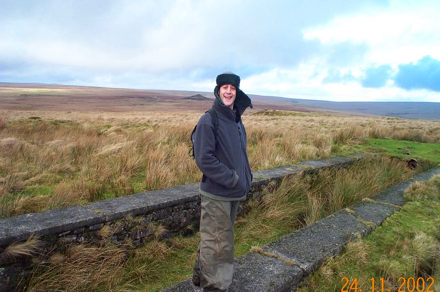
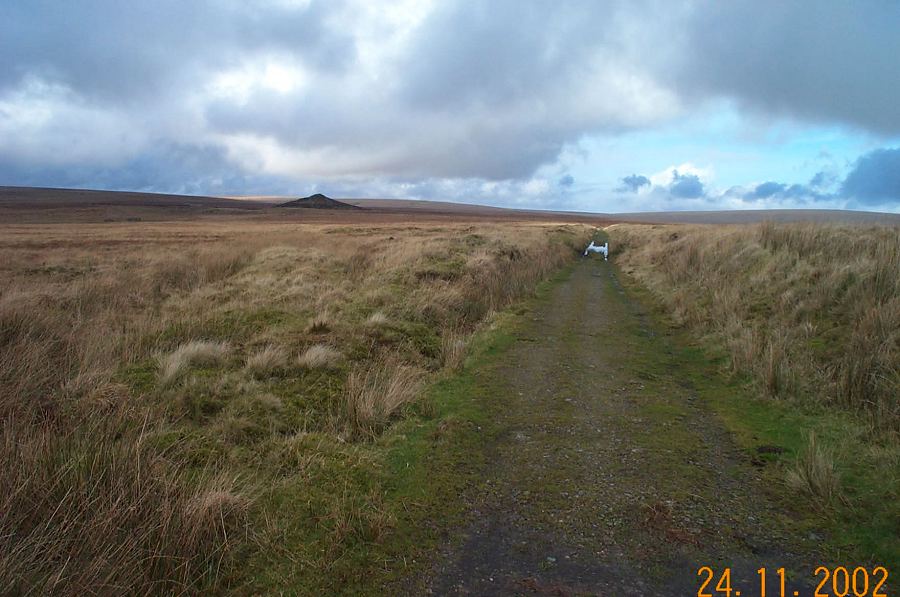
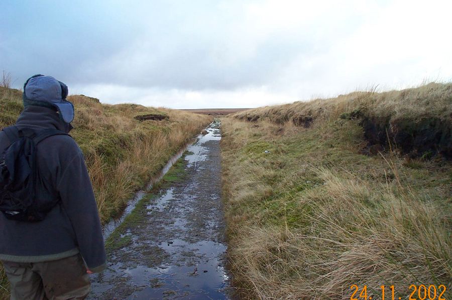
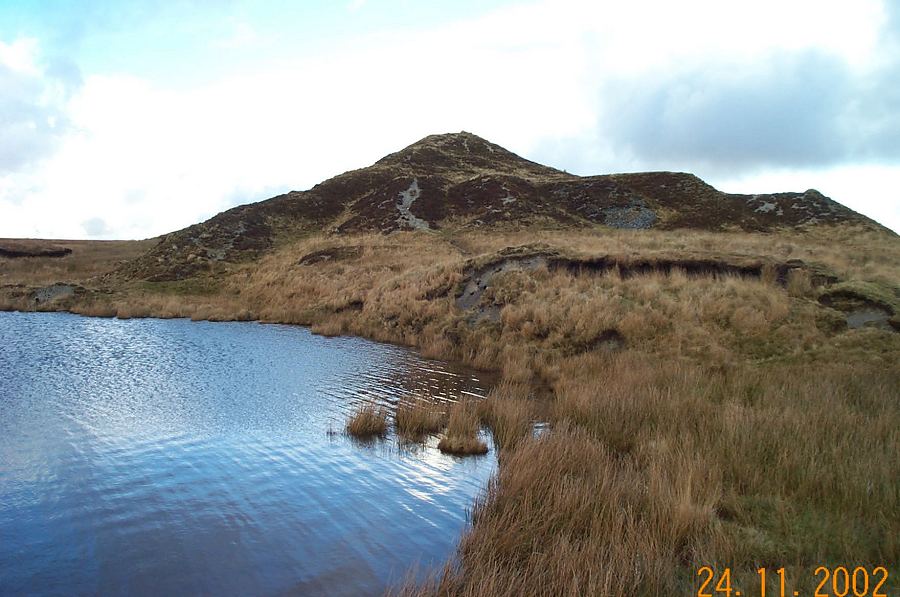
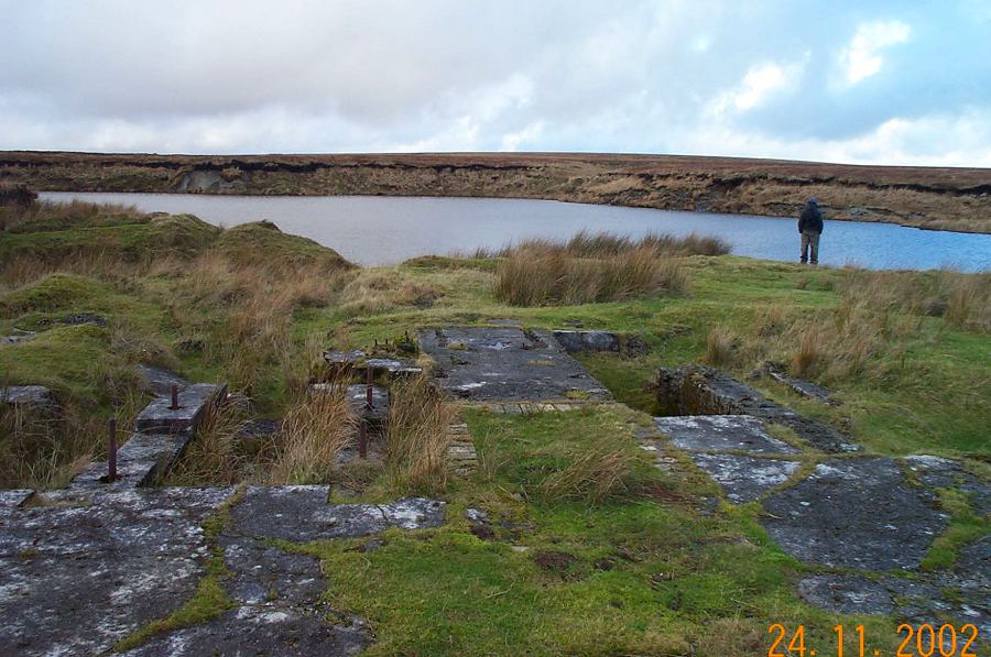
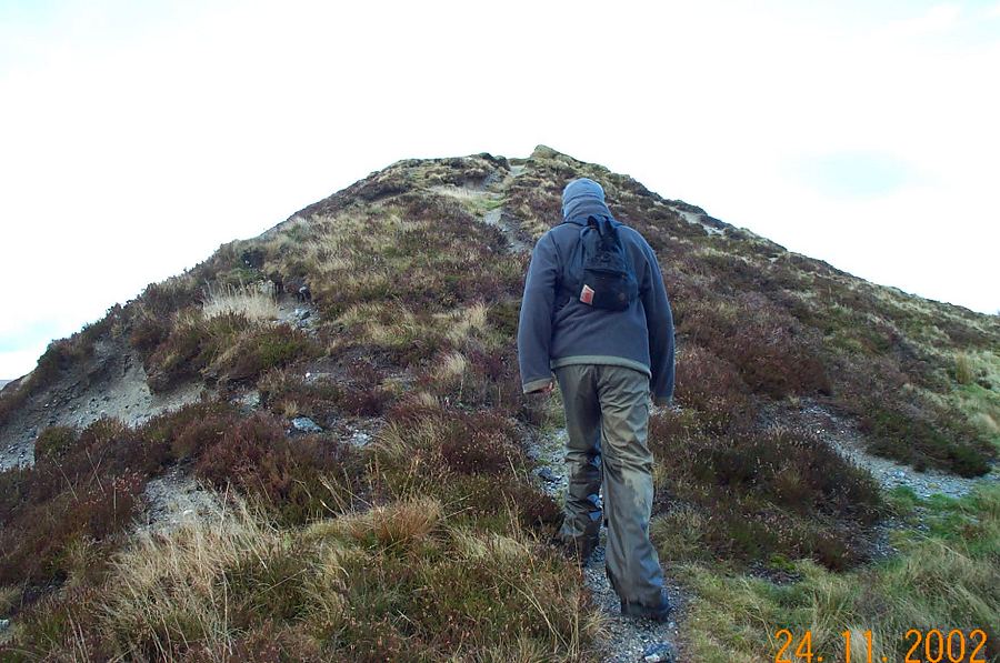
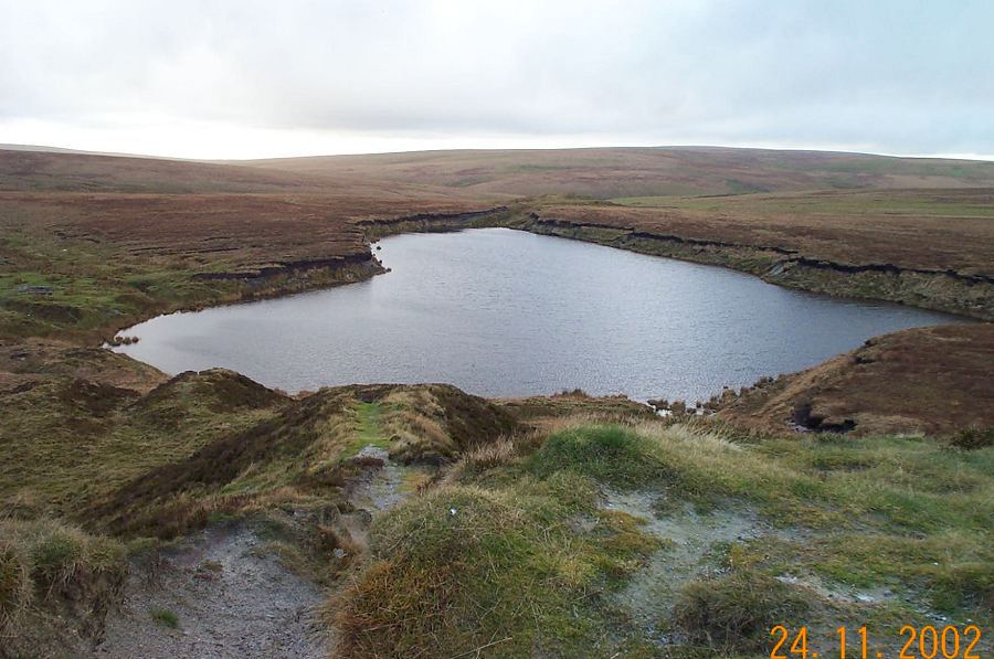
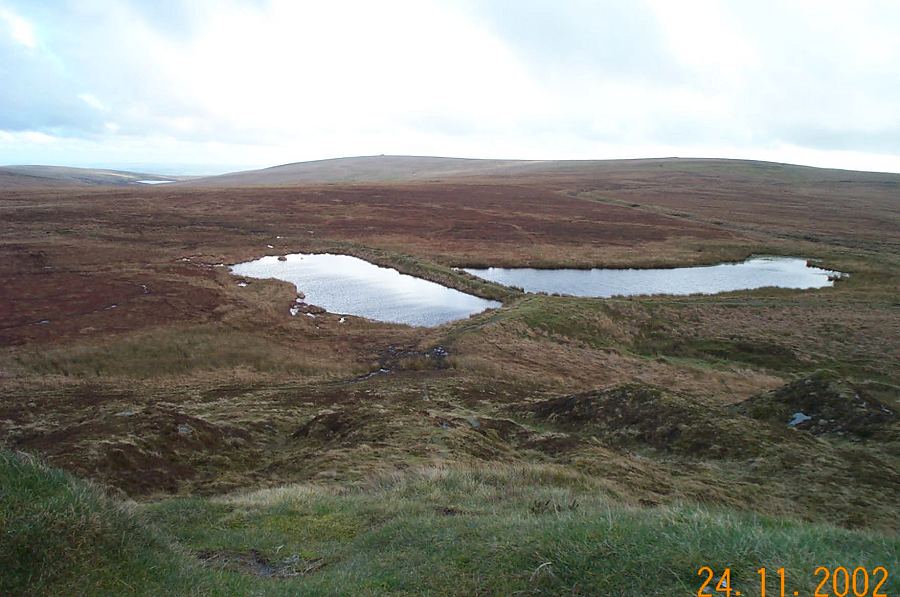
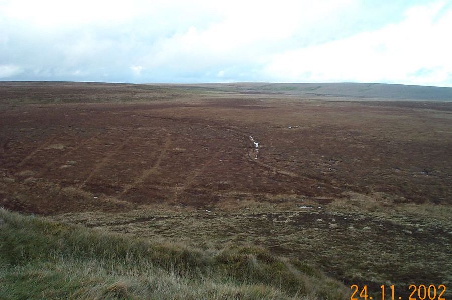
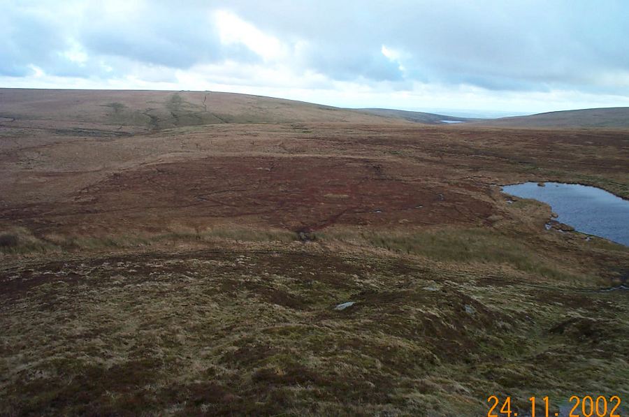
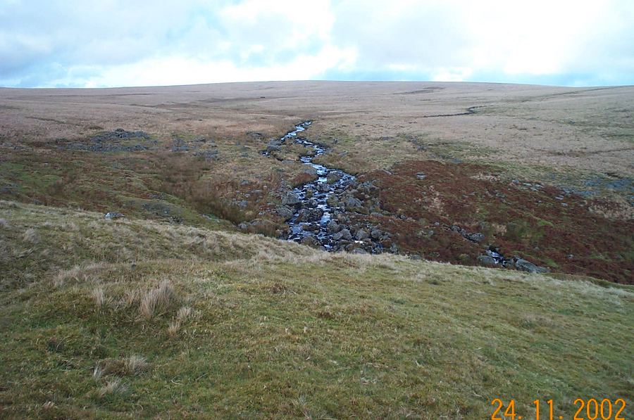
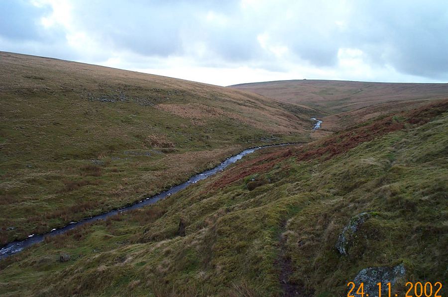
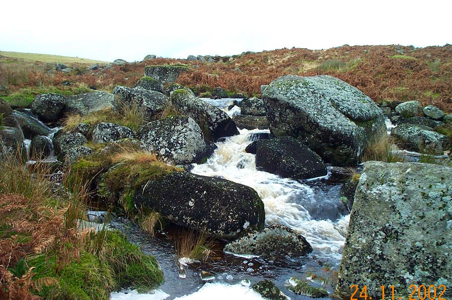
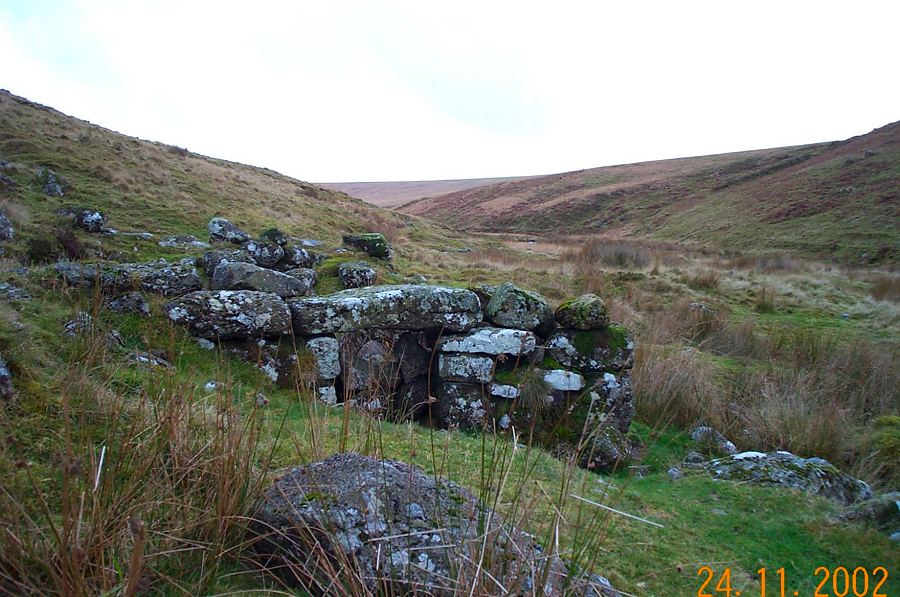
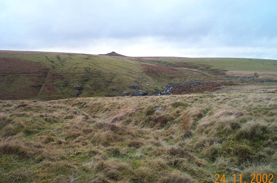
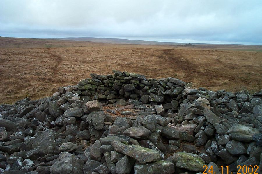
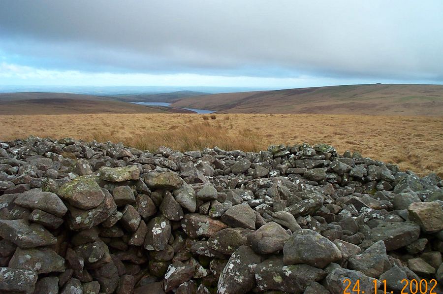
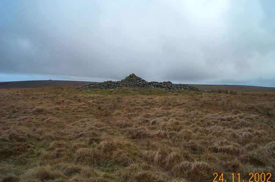
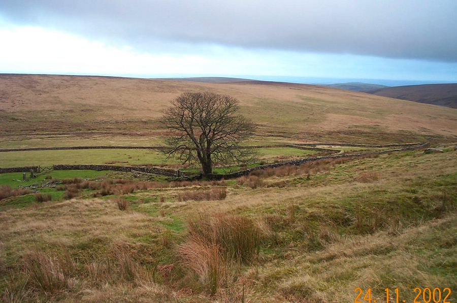
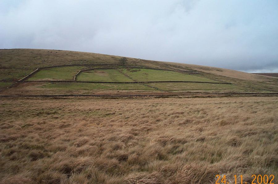
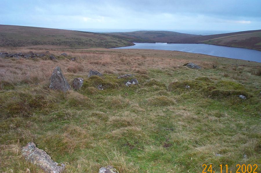
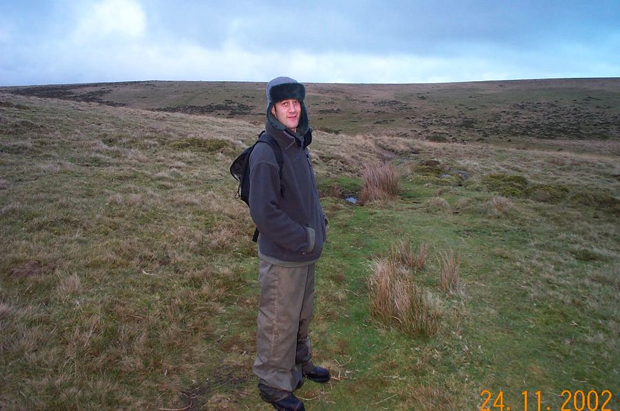
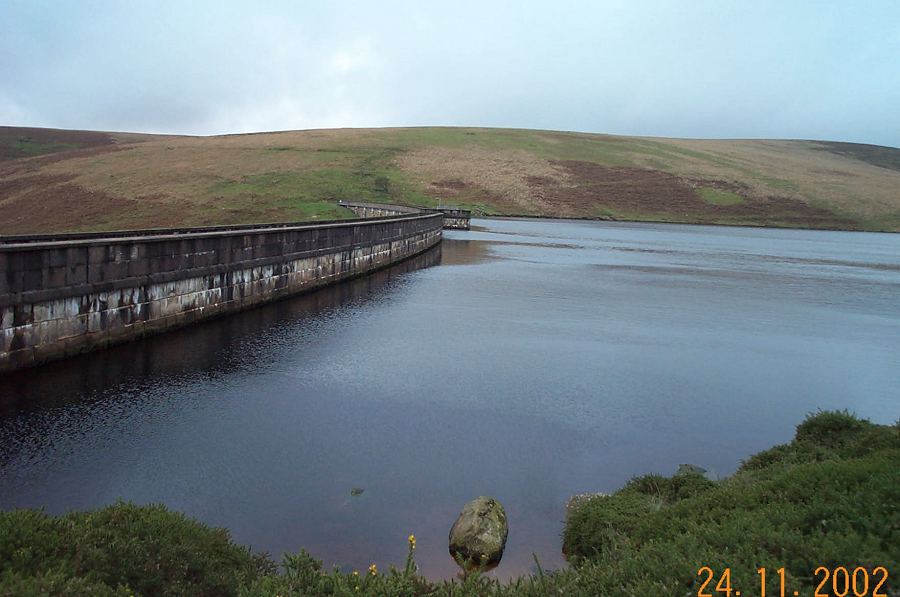
Red LakeRed Lake lies in the heart of the Southern Moor. There is a distinctive landmark - the overgrown spoil tip of the China Clay works that started working in 1910 but had failed by 1933. Clay was hosed out from a deep pit and the slurry was transported via pumps to settling beds at Greenhill about a mile away. After a week or so of settling the sluices were opened and the clay in suspension flowed down pipes some 7 miles to the clay processing works near Ivybridge. The unwanted sand and gravel was loaded into trucks at Red Lake which were then tipped onto the waste tip that we see today. There was a railway which ran alongside the clay pipes that led down to Ivybridge. This was only used for moving people and basic materials and is popularly known as the Puffing Billy track - although on the map it is named as The Two Moors way). The railway was of 3ft gauge and small steam engines pulled 3 passenger carriages. Only the trackway remains - the rails are long gone. Today, Red Lake is an isolated place. There are 3 deep pools, ruined buildings as well as the tip. It is surrounded by mires and fen but is an interesting place to see. When you visit there you'll see why it's called Red. Lake derives from the old Dartmoor meaning of stream rather than a body of water.Park at Shipley Bridge (SX 681629) 3 miles north of the town of South Brent. From here there is a road to the Avon Dam which follows the Avon river. Follow this road for a short distance and at the Hunter's Stone take the road up to the filtration plant. After a short climb, you can then follow the track of the old Zeal Tor tramway which takes you up on the westerly side of Brent Moor towards Red Lake. Carry on until you get to the obvious cairn of the Western White barrow - Petre's Cross (SX 664654). Admire the views from here. Then carry on north to Crossways where you'll join the path of the tramway which takes you to Red Lake. We then headed east over to Huntingdon Hill, crossing the Avon at Broad Falls, passing the cairn and remains of the Warren Farm and then easily crossing the Western Walla brook. The final stretch was over Hickaton Hill which took us to the north side of the Avon dam and thence back to Shipley bridge via the access road.This 8 mile walk takes you into the edge of the South Dartmoor wilderness. It is not difficult but appropriate clothes, footwear and provisions are needed. The walk includes a range of human influence on the moor - old barrows and hut circles, failed industrial ventures and the modern dam. It takes about 4.5 hours. Be careful in adverse weather problems once you're off the tramway.
|
||||||||||||||||||||||||||||||||||||||||||||||||||||||||||||||
All | Little | Shorter | Standard | Longer | Tors | Relics | History | Links | Panoramas | Home | ||||||||||||||||||||||||||||||||||||||||||||||||||||||||||||||