All | Little | Shorter | Standard | Longer | Tors | Relics | History | Links | Panoramas | Home
|
||||||||||||||||||||||||||||||||||||
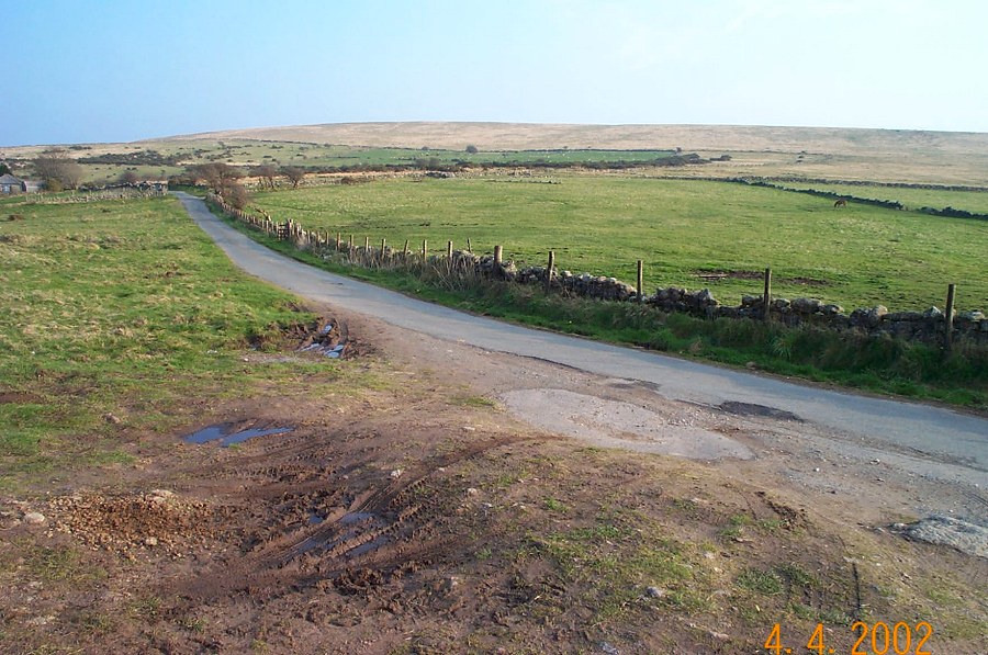
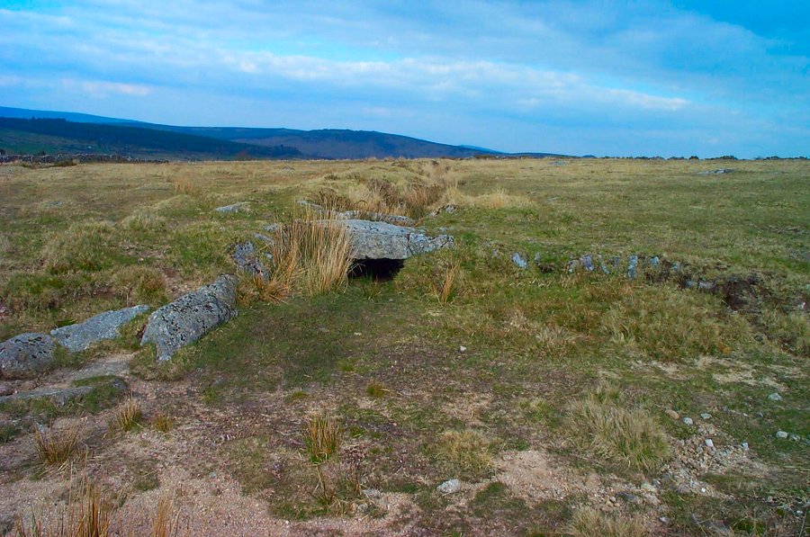
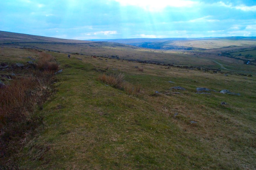
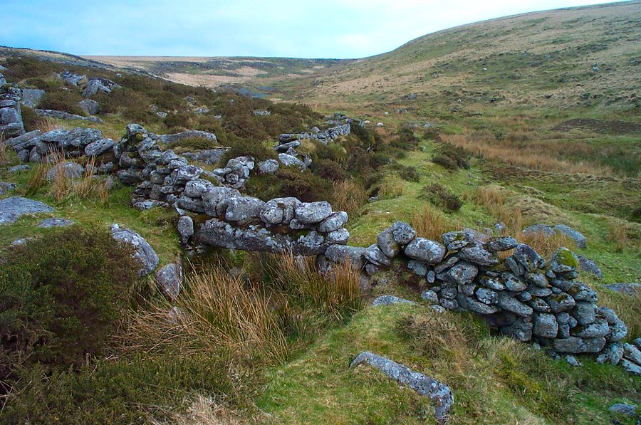
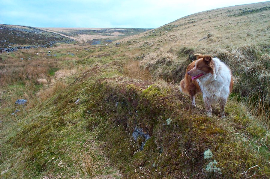
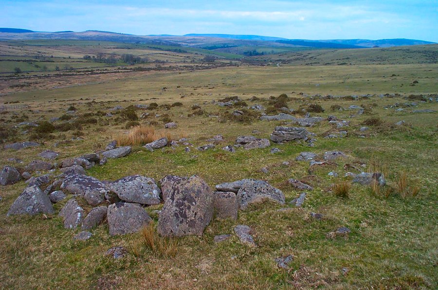
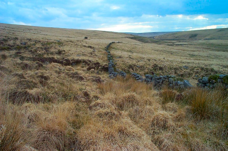
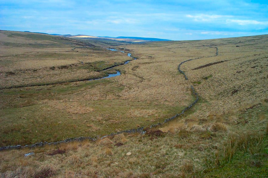
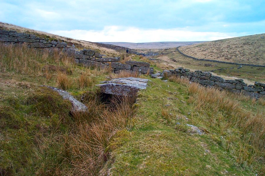
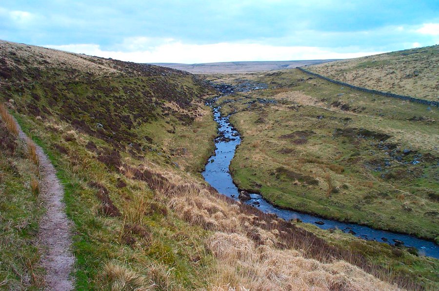
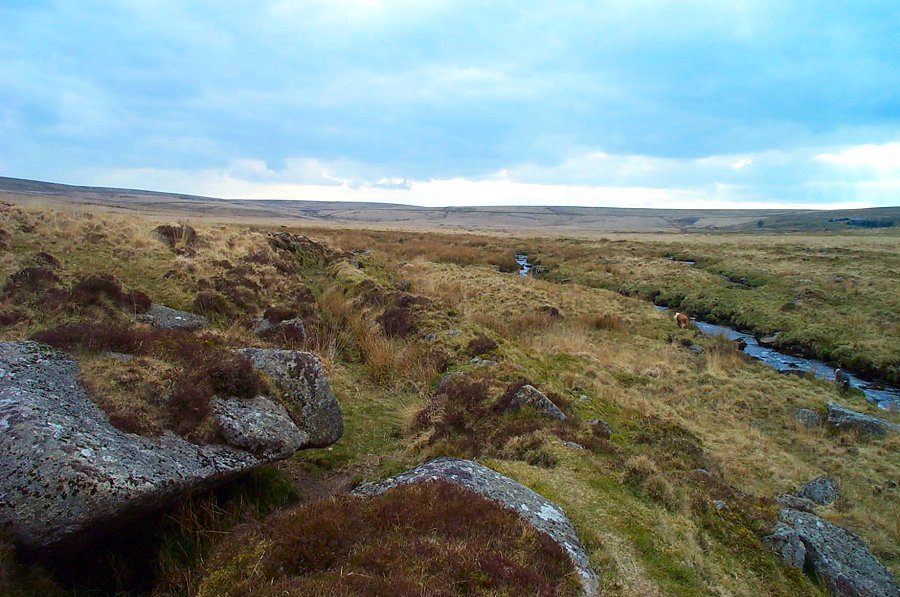
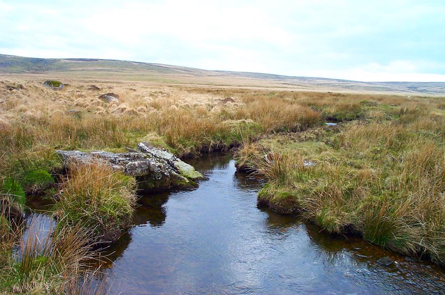
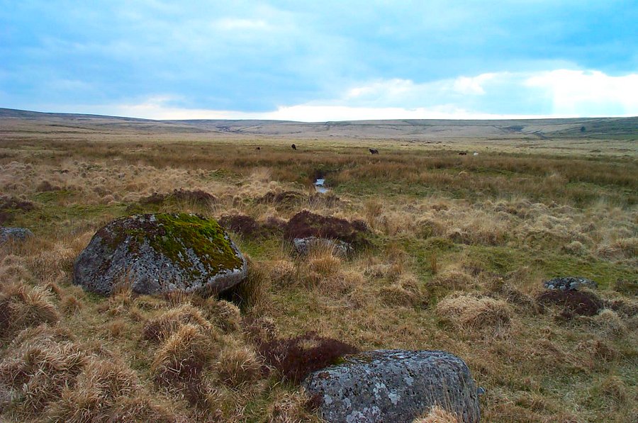
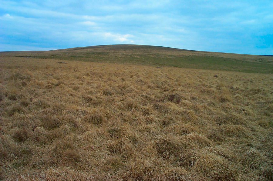
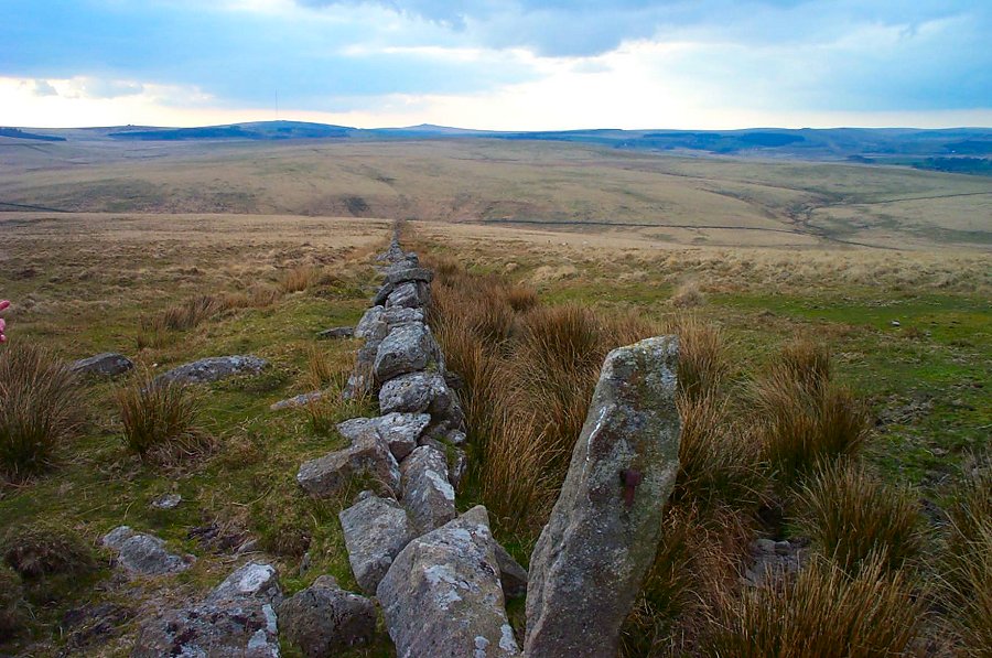
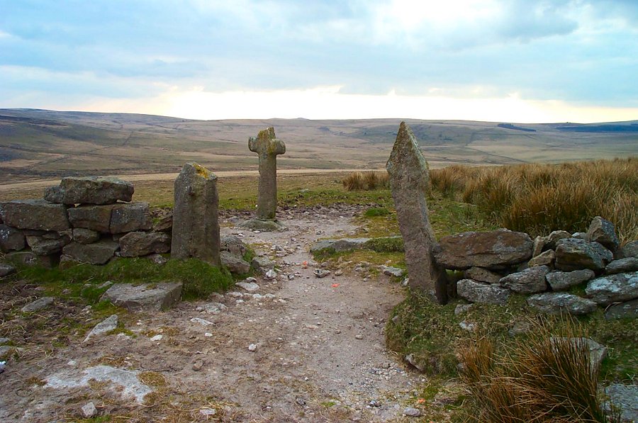
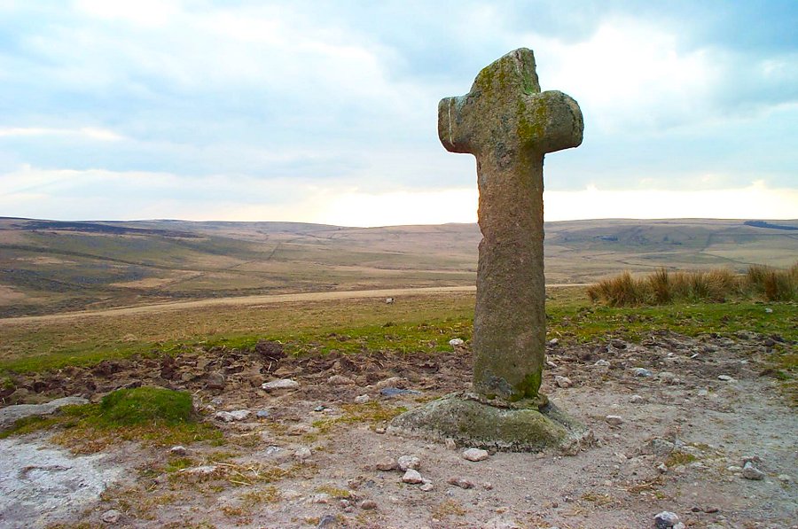
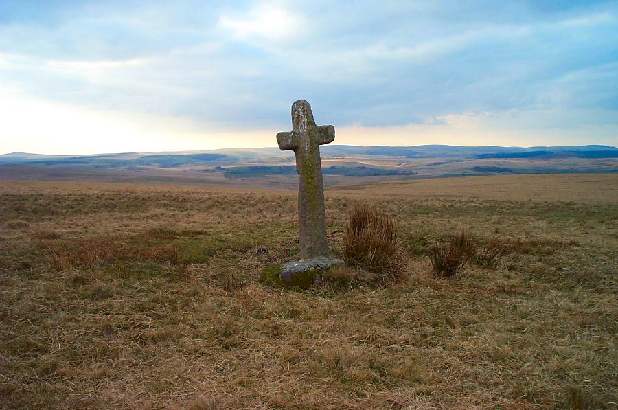
Ter HillTer Hill (SX 642 705) is one of the highest points of South Dartmoor. It is a rather bland hill with only three waymarker crosses to mark the nearby summit. However, the views from Ter Hill are excellent. Getting to Ter Hill is the good bit. One way is to follow the track of the Wheal Emma leat as it snakes up the Swincombe valley towards its source at Fox Tor Mire. Both valley and mire have their own rather special beauty.Park at Gobbet Plain (SX 647728) on the road from Hexworthy to Sherberton. You have two choices of route to start with. Either follow the track down to Gobbet tin mine, past the old Swincombe house and on to the small reservoir or else go up to Down Ridge and follow the channel of the old Wheal Emma Leat. If you take the first route then bad ground around SX 633719 will force you up the hillside to take the leat track. Whichever route you first took you'll now follow the leat up the Upper Swincombe valley until you get to the edge of the mire. From here it is easy to walk up the slopes of Ter Hill using the newtake wall as a guide. Make for Mount Misery corner. Find the other crosses and then navigate back down to Down Ridge. A compass is useful.Although this walk isn't very long it covers some excellent and varied Dartmoor scenery. Allow 2.5 - 3 hours. On a clear summer's evening this walk is pure delight. No military ranges nearby.
|
||||||||||||||||||||||||||||||||||||
All | Little | Shorter | Standard | Longer | Tors | Relics | History | Links | Panoramas | Home | ||||||||||||||||||||||||||||||||||||