All | Little | Shorter | Standard | Longer | Tors | Relics | History | Links | Panoramas | Home
|
||||||||||||||||||||||||||||||||||||||||||||||||||||||
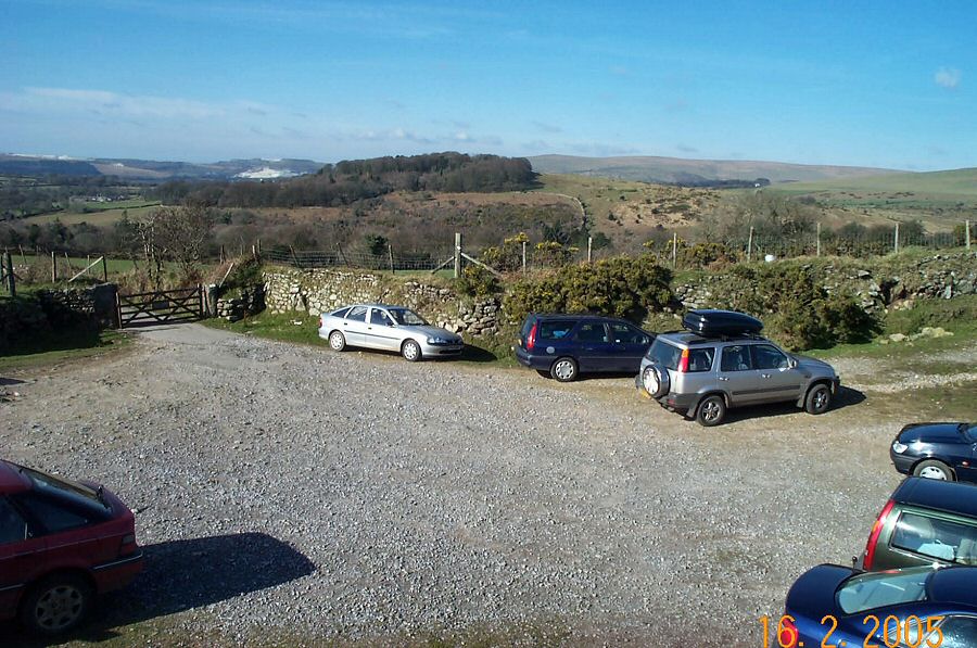
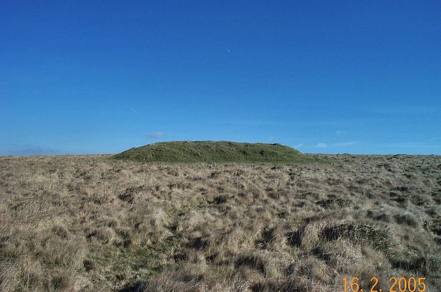
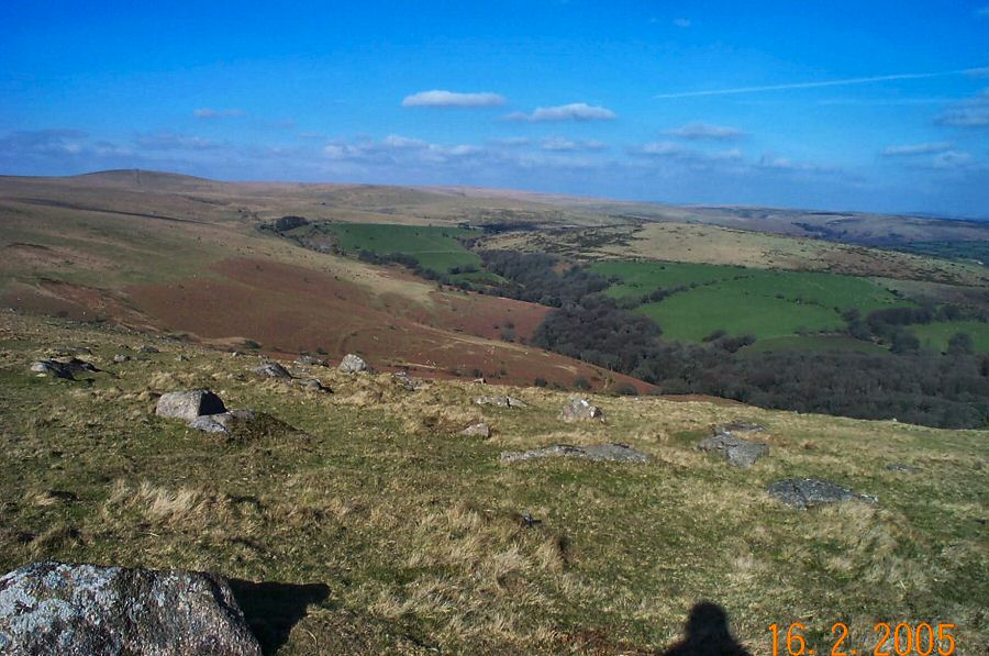
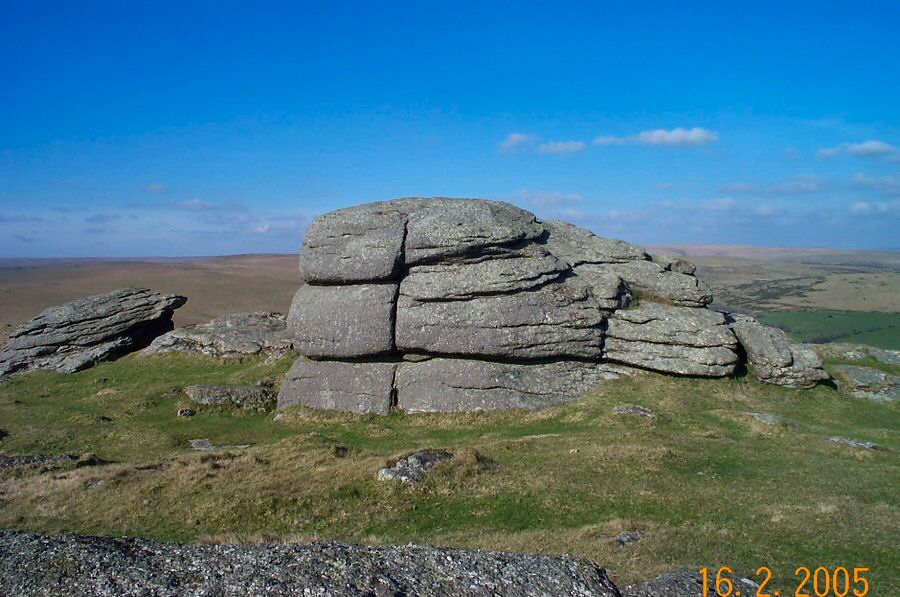
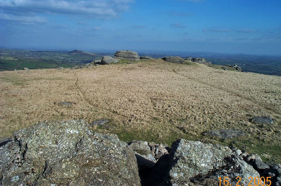
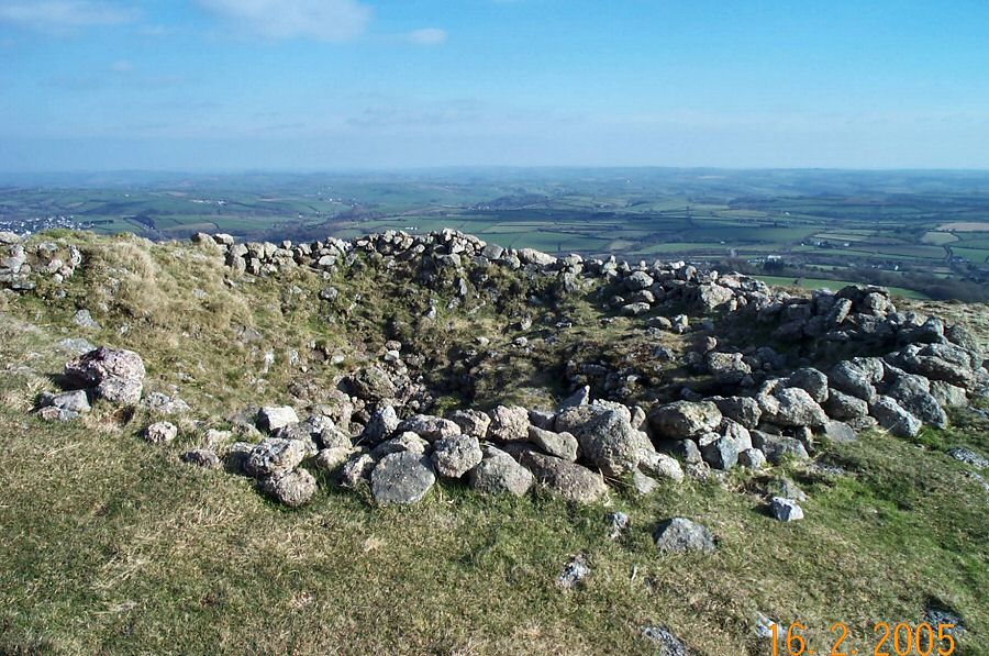
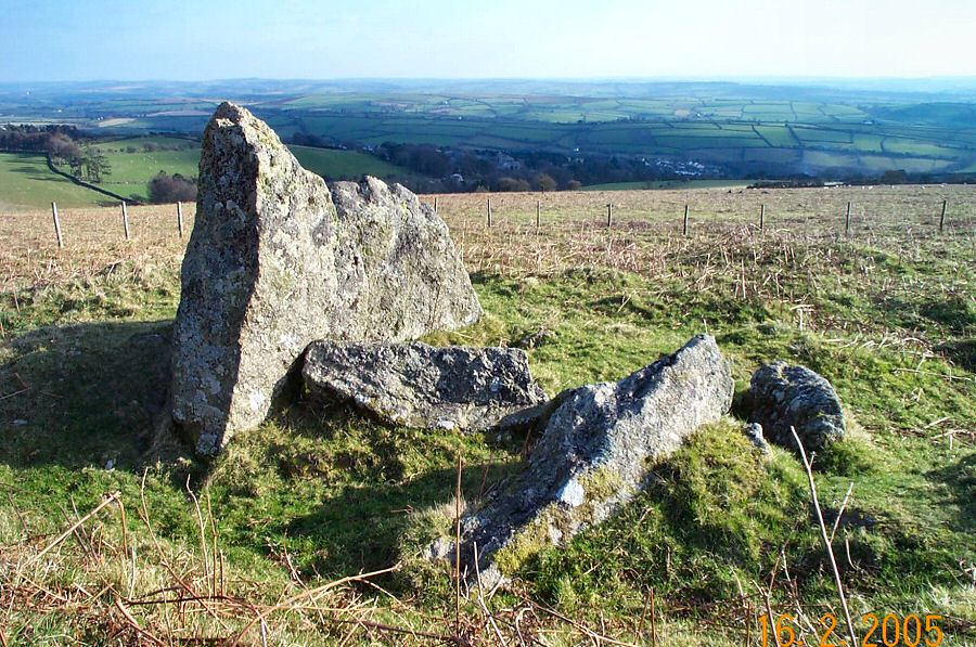
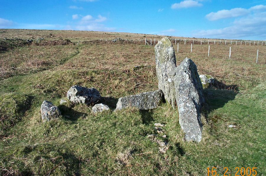
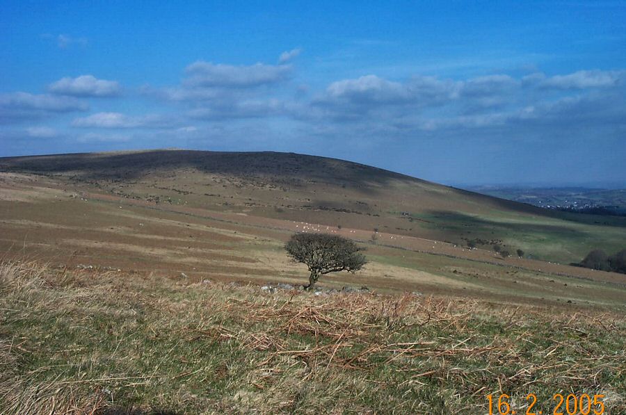
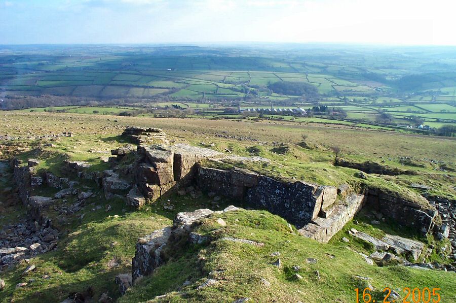
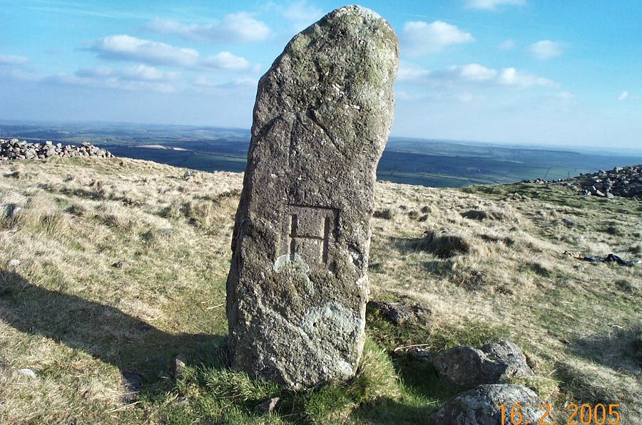
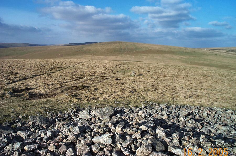
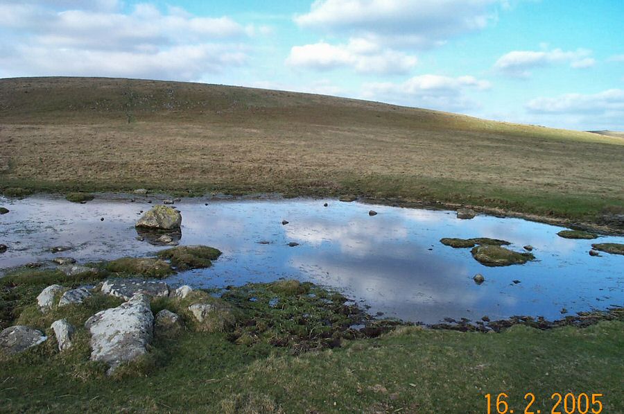
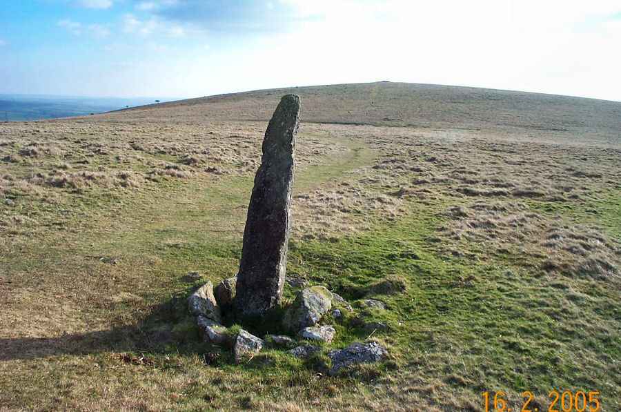
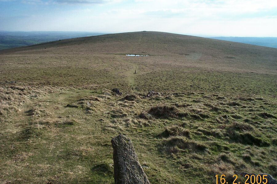
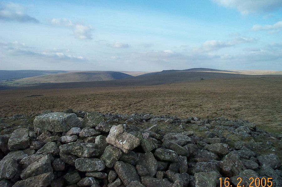
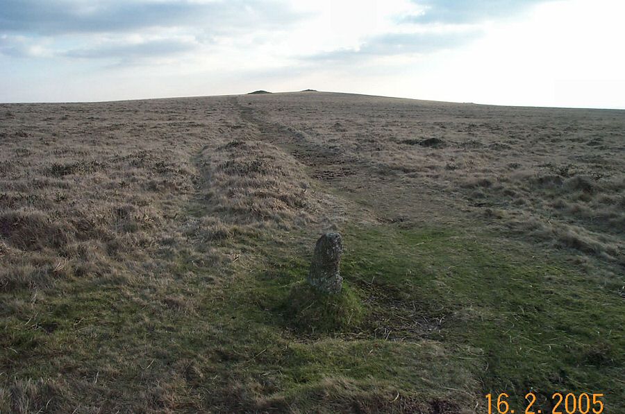
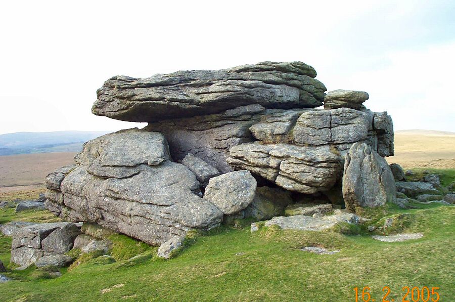
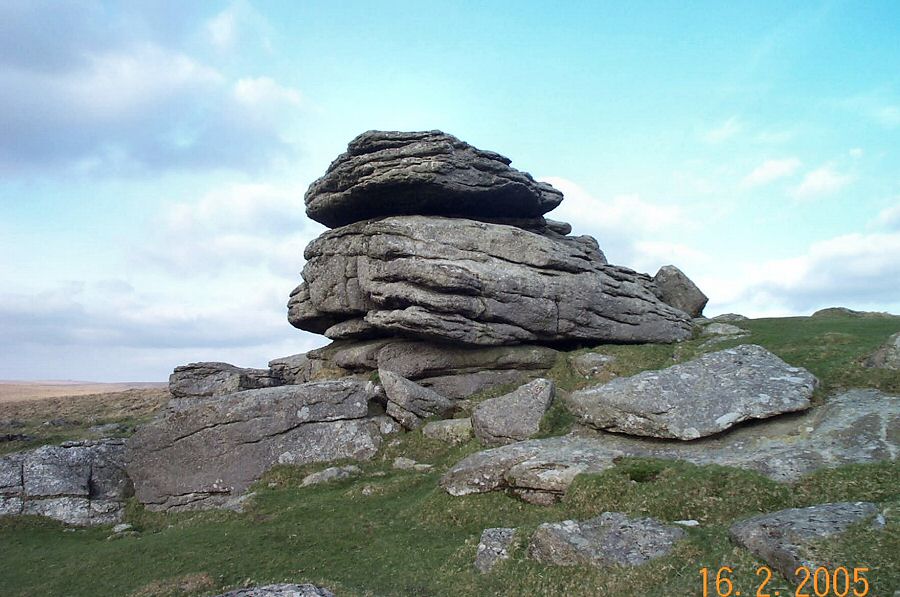
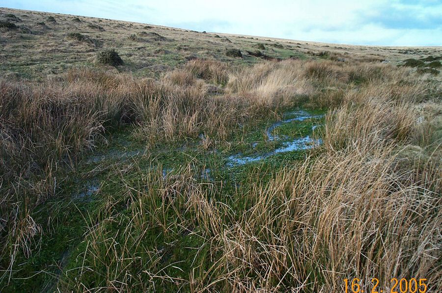
Ugborough BeaconUgborough Beacon is nearly the most southern outcrop of Dartmoor. It overlooks and dominates the small town of South Brent. The views from the beacon over south Devon and parts of the southern moor are excellent. There's a lot of prehistoric and historic remains up here - cairns are particularly common. Partly this is because these slopes are very accessible and easy to walk on, the ground gives good grazing and the aspect is south facing.Park at Harford Gate - SX 643595. Walk due east over the brow of the hill and make for a small ford over the Butter Brook. Then carry on in the sam direction until you get to the top of the plateau between Piles Hill and Butterdon Hill. The trackway of the Two Moors way snakes along here. Head on down to Spurrell's Cross and then walk over Beacon Plain towards Ugborough Beacon. There are good views all along here. From the beacon head SW over the Lud brook, pass by the old monument of Cuckoo Ball And then walk up to Western Beacon. From here head due north along the track past Butterdon Hill to the obvious point of Hangershell Tor. Then back to the carpark.This is a straightforward - almost easy - walk with no rough ground to worry about. About 4 miles. Although you are quite high up you are never very far from safety. Nonetheless, be aware of poor weather and mists. No army grounds anywhere around. This area is very popular with local people.
|
||||||||||||||||||||||||||||||||||||||||||||||||||||||
All | Little | Shorter | Standard | Longer | Tors | Relics | History | Links | Panoramas | Home | ||||||||||||||||||||||||||||||||||||||||||||||||||||||