All | Little | Shorter | Standard | Longer | Tors | Relics | History | Links | Panoramas | Home
|
||||||||||||||||||||||||||||||||||||||||||||||||||||||||||||||||
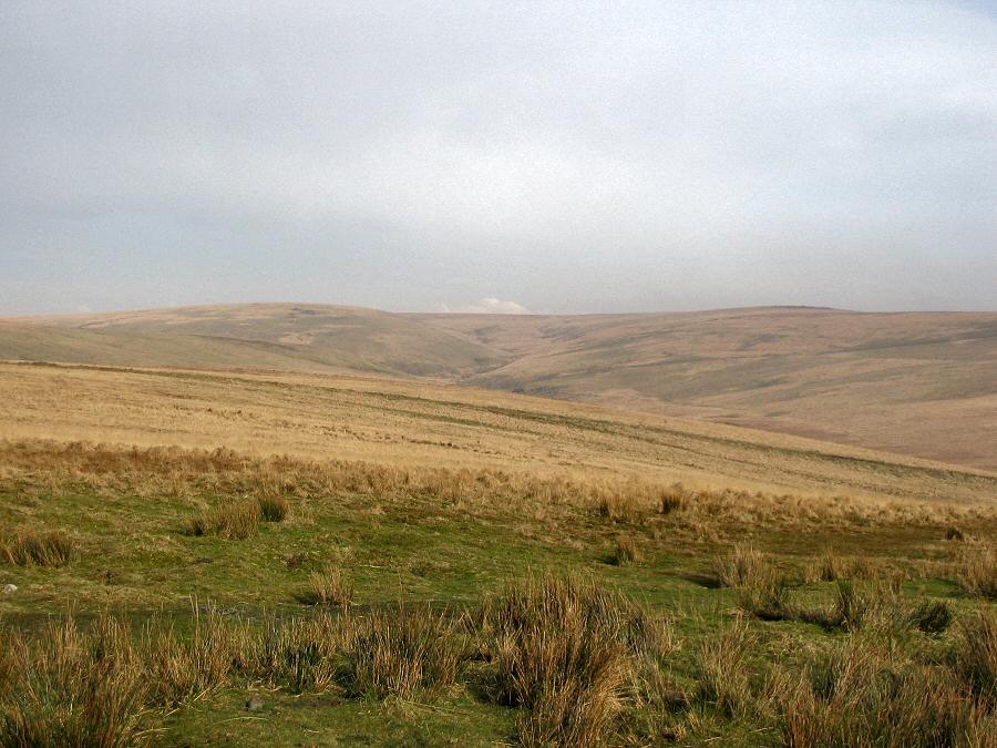
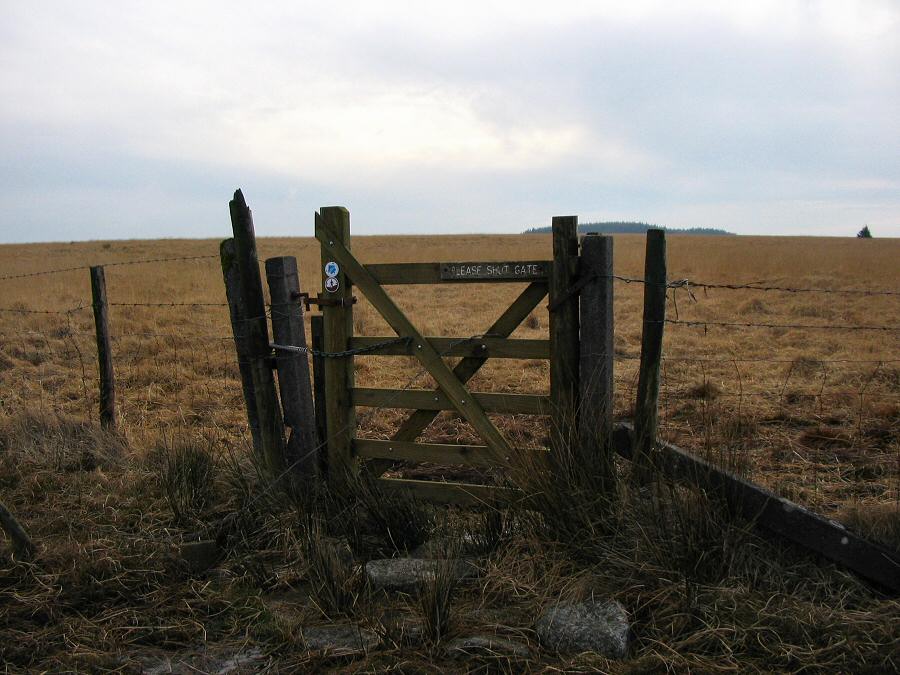
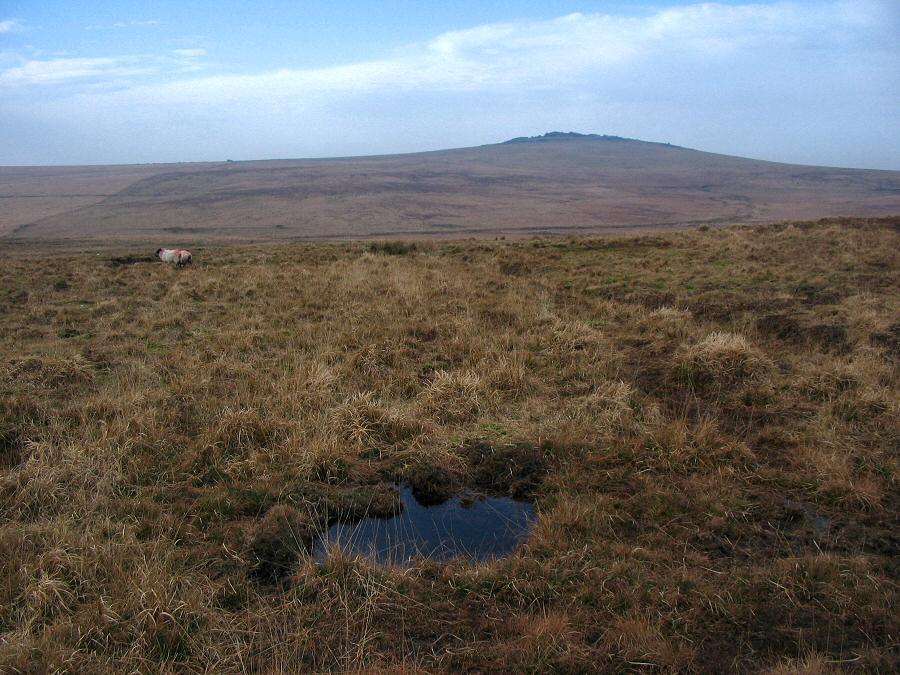
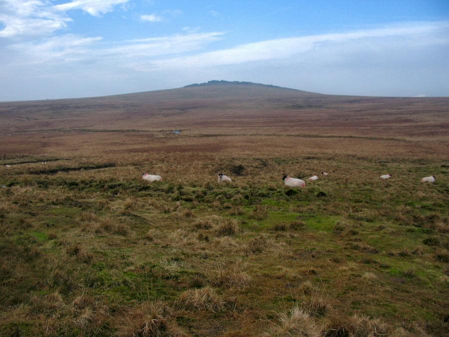
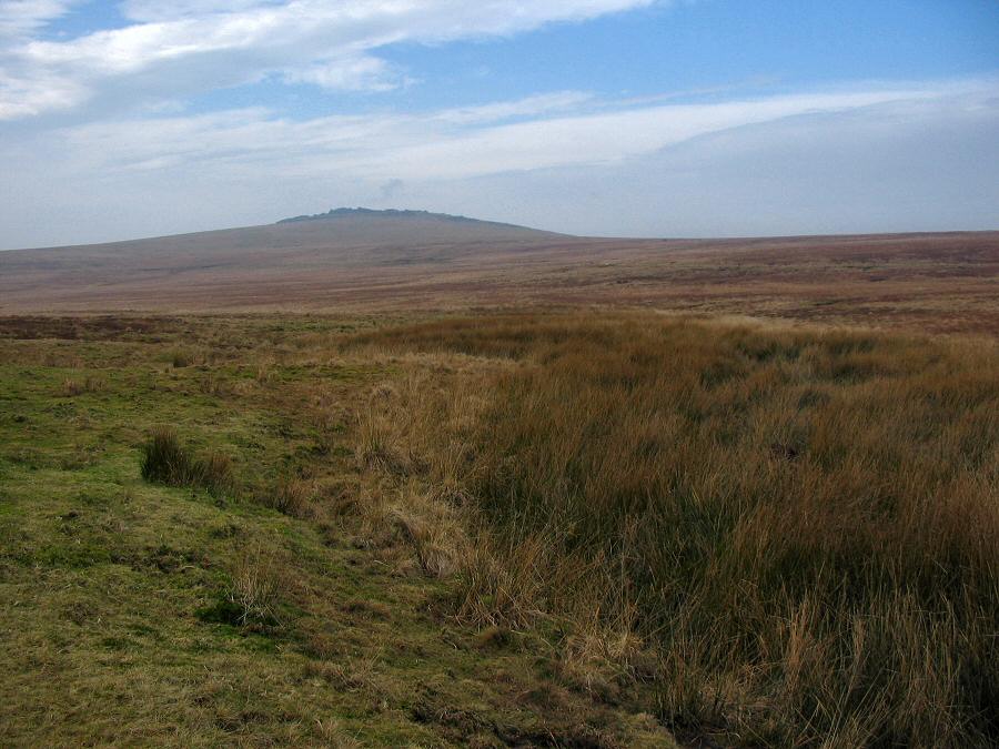
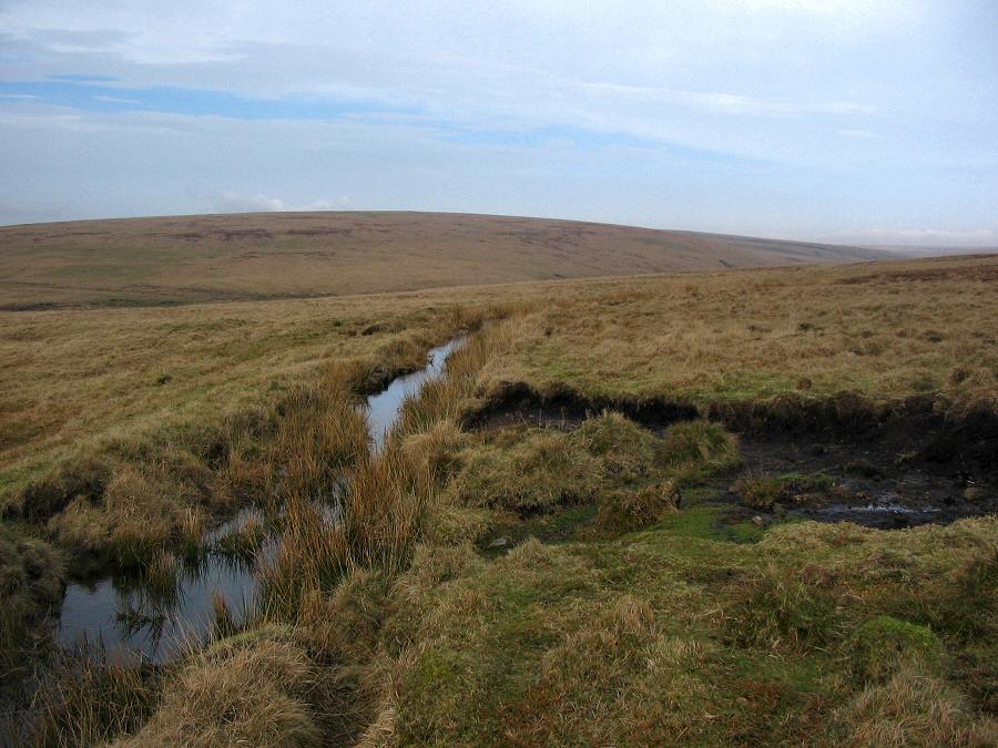
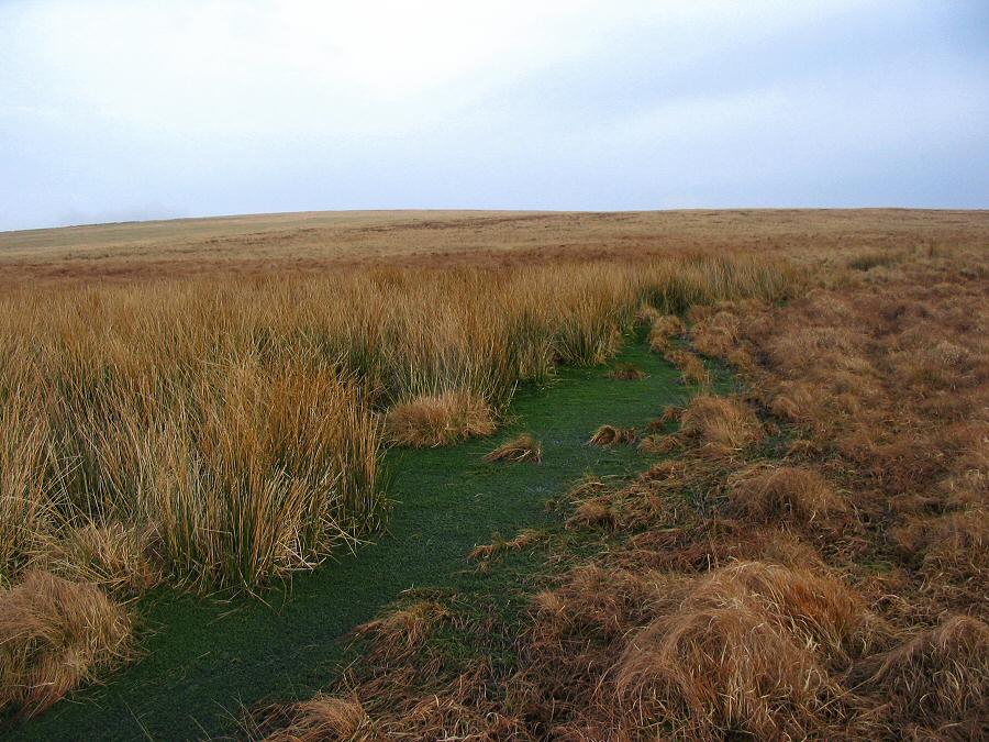
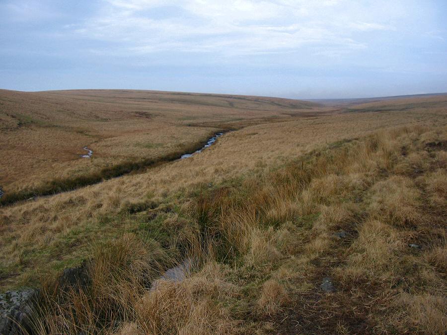
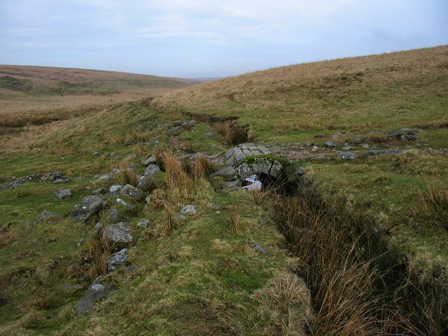
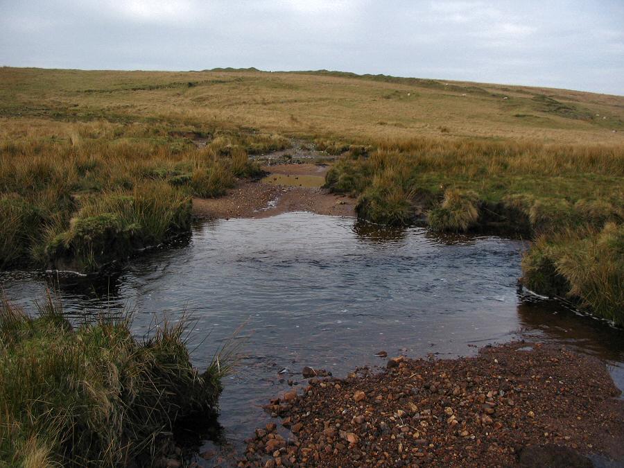
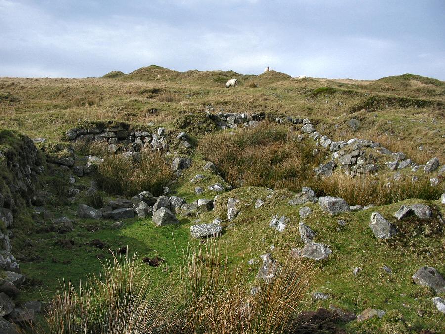
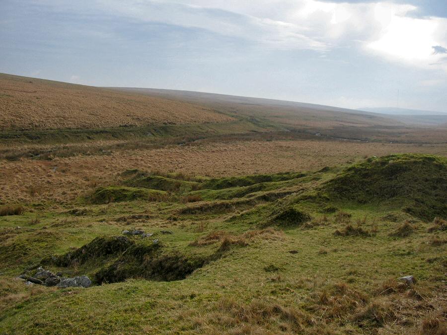
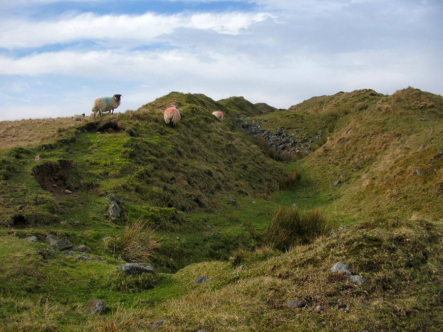
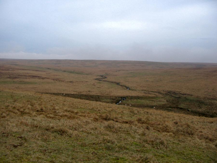
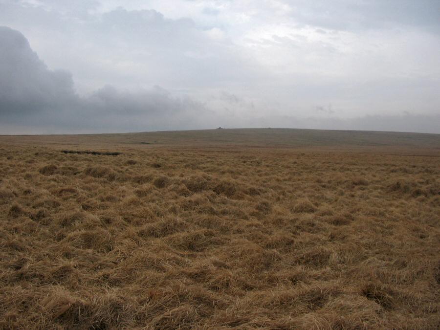
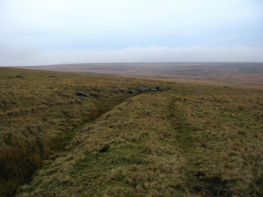
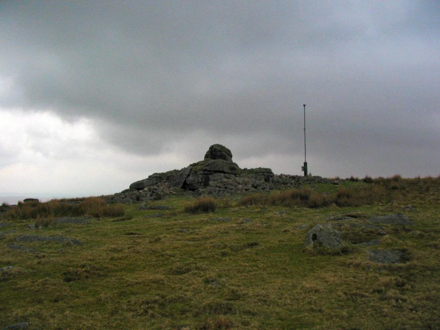
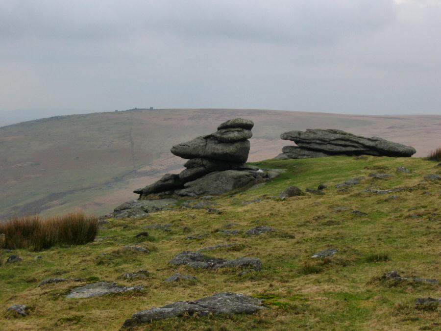
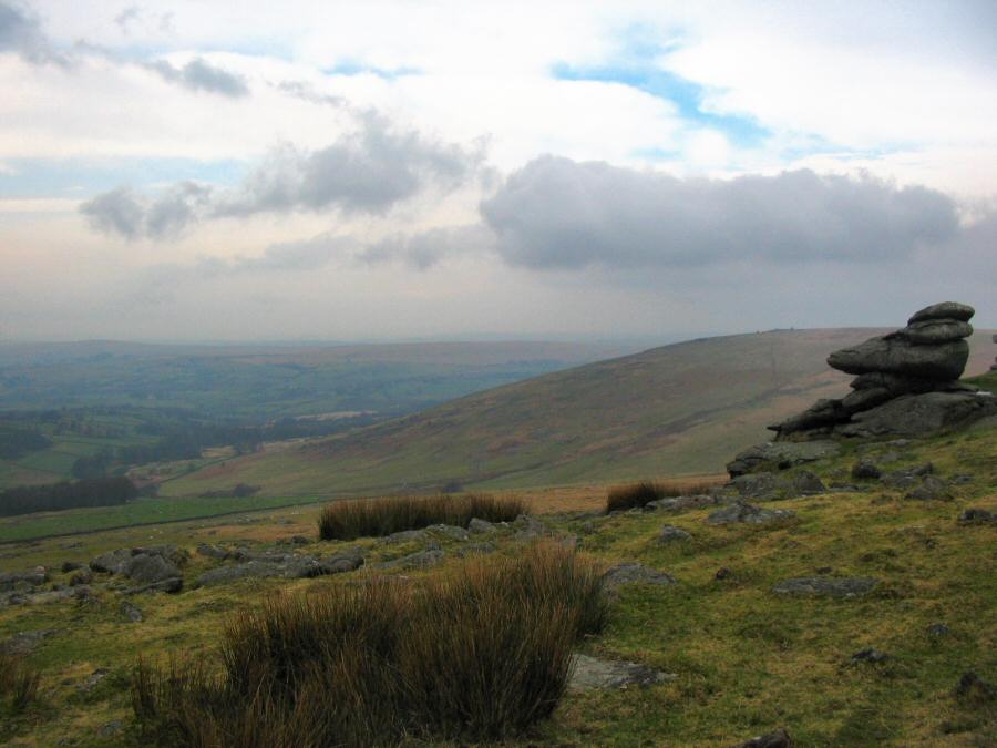
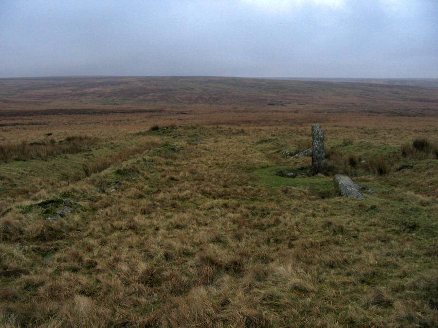
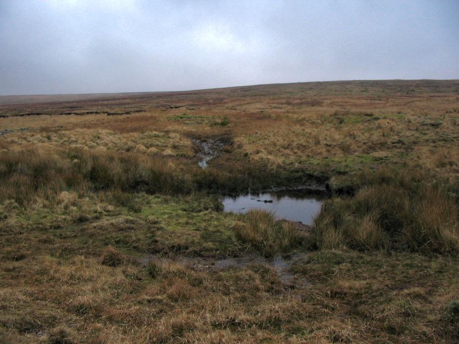
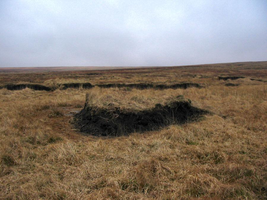
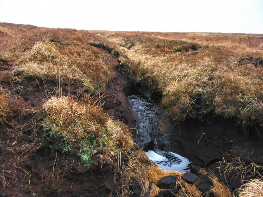
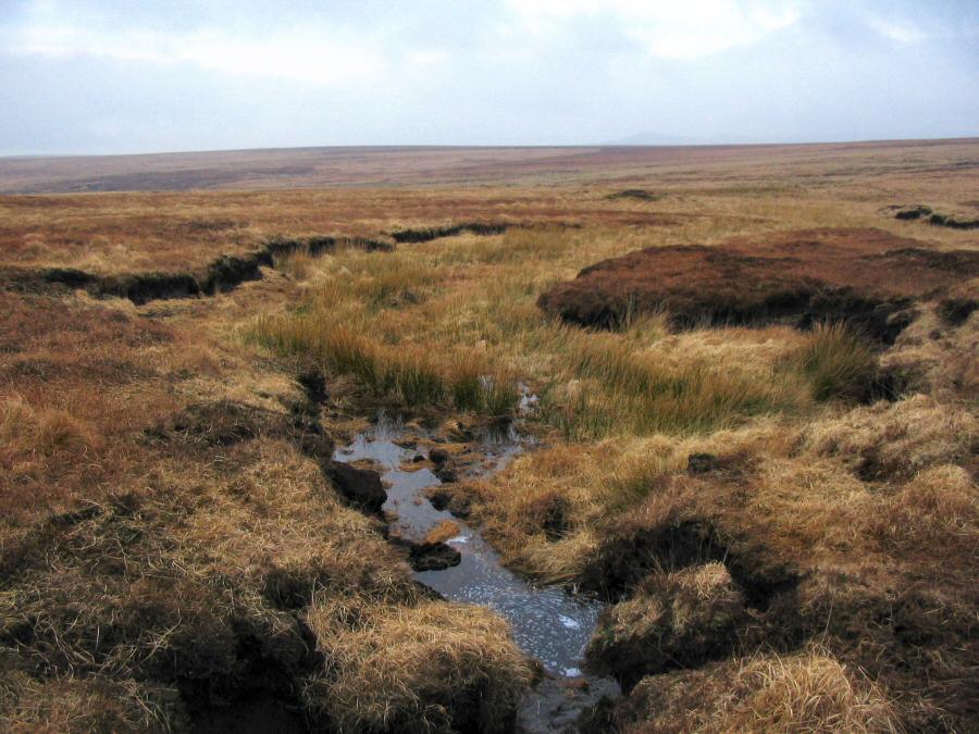
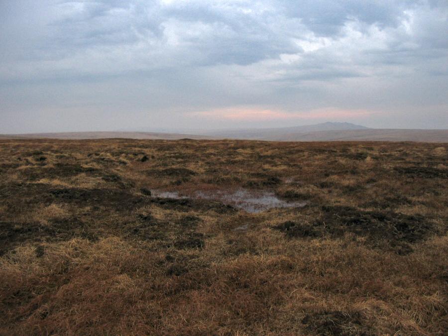
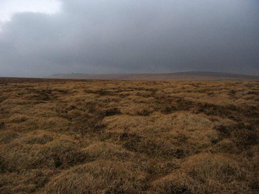
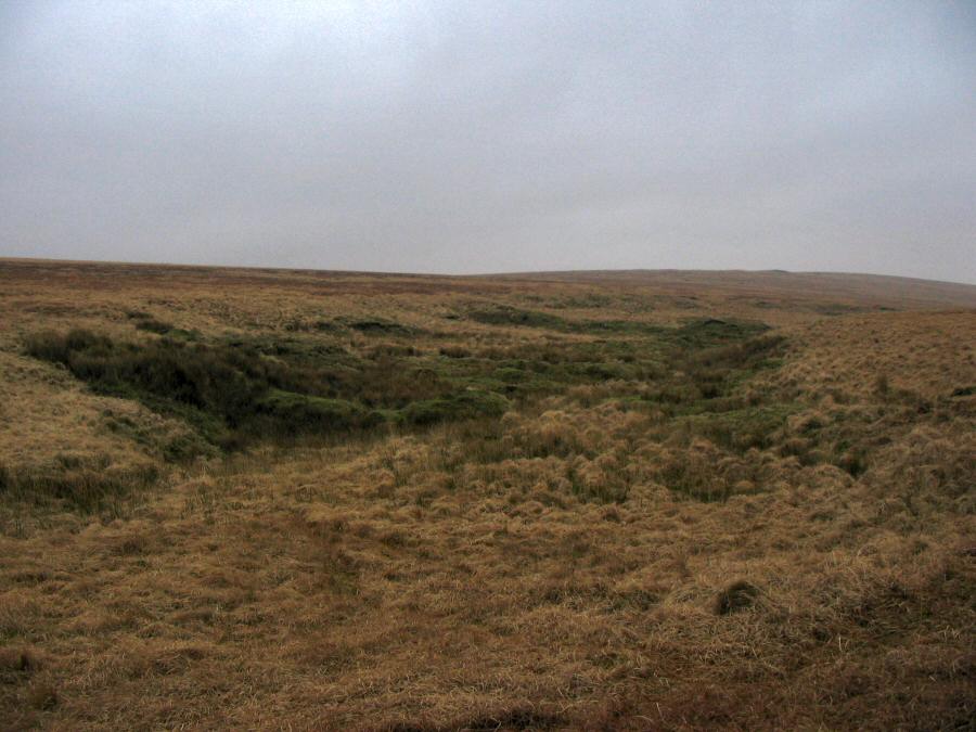
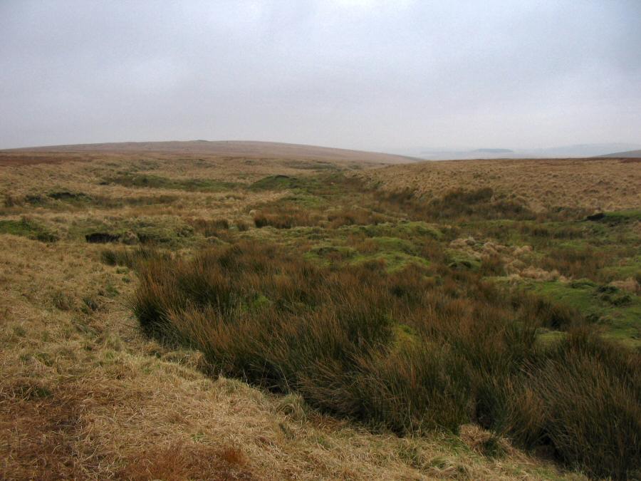
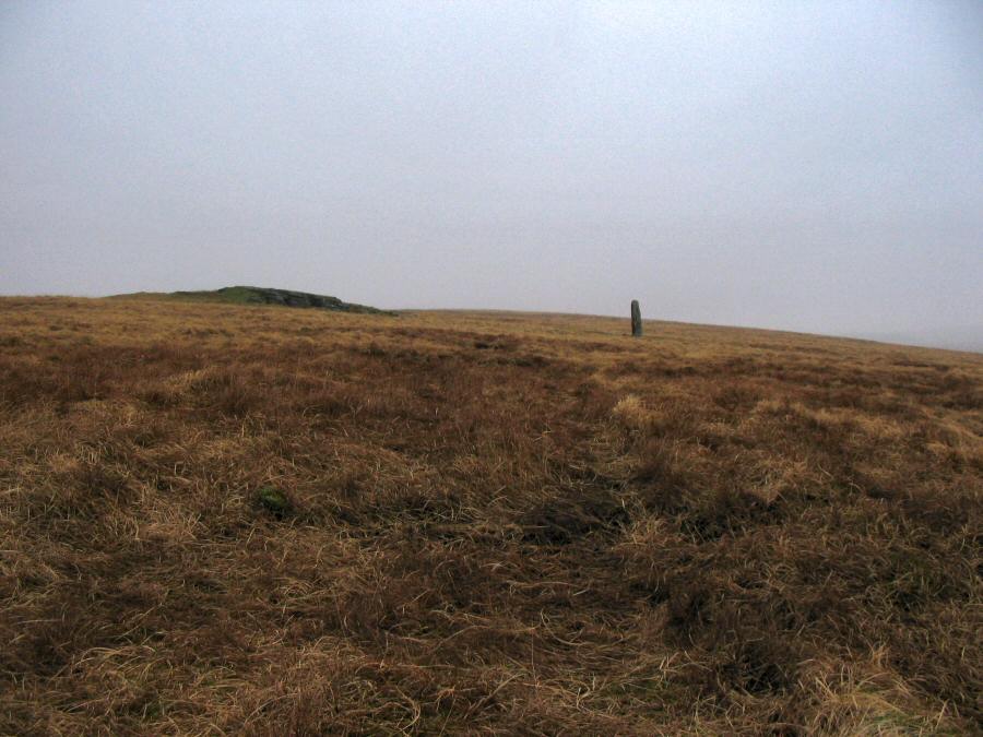
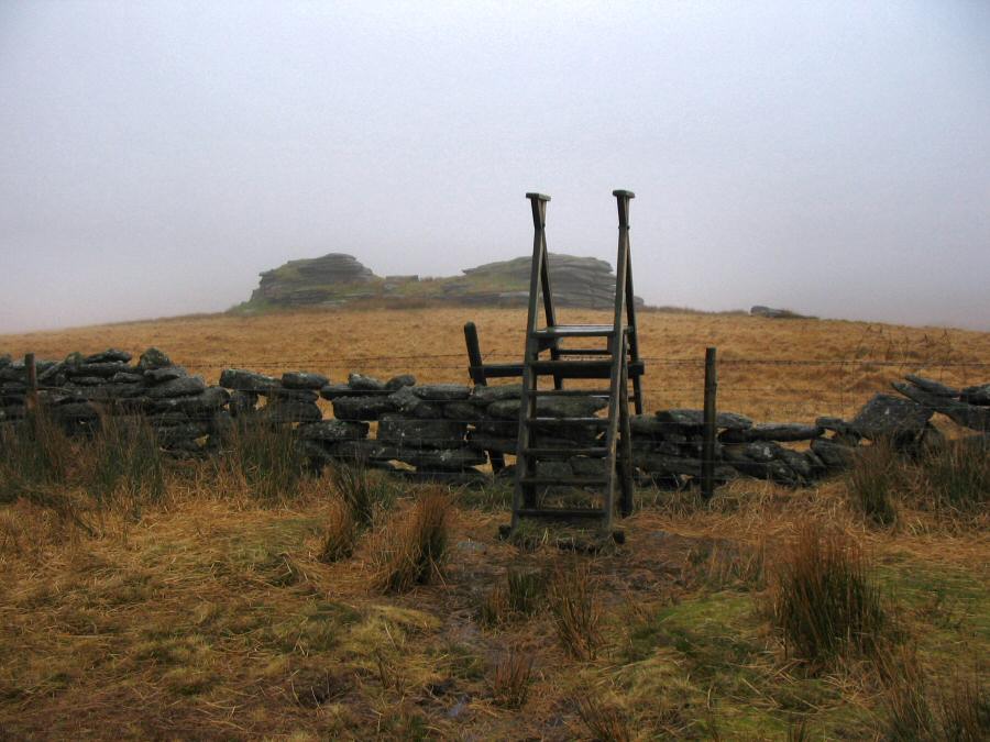
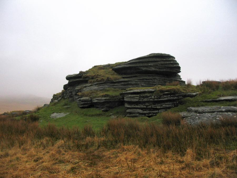
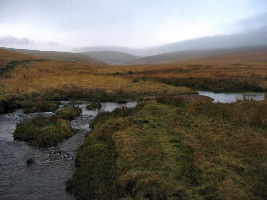
The Upper WalkhamThe upper Walkham valley is an isolated part of the high northern moor. The name Walkham may derive from Walla Combe. The river has also been known as the river Store. The upper Walkham used to be a major peat extraction area and there are still remains left of the peat workings. For example, there is an old sunken track that circles Lynch Tor that was used to take the peat down to Mary Tavy, there's the remains of a peat drying building and there are many marks on the hillsides of where the peat was taken.Park by Holming Beam (SX 591765), walk up the track and take the left track that leads to Black Dung hill. Go over the hill and make your way up the valley, crossing the Black brook on the way. Join the prison leat and walk up the leat until you get to Sandy Ford. Cross the Walkham and get to Wheal Prosper (a good food stop) and then make your way towards Lynch Tor via the grassy expanse of Stooky Moor. From Lynch Tor head east, cross the Walkham and walk up towards Walkham head. Then SE over the high plateau towards Cowsic head. Make south towards Beardown man, Lydford Tor and then back to the Holming Beam car park.This is a 9 mile walk that takes in part of the high fen. There is some rough walking on the main plateau but despite heavy rain before the described walk took place in February - conditions were pretty good. The army practices around here so watch out for military restrictions. Most of all - be careful of the weather in this exposed and lonely part of the moor.
|
||||||||||||||||||||||||||||||||||||||||||||||||||||||||||||||||
All | Little | Shorter | Standard | Longer | Tors | Relics | History | Links | Panoramas | Home | ||||||||||||||||||||||||||||||||||||||||||||||||||||||||||||||||