All | Little | Shorter | Standard | Longer | Tors | Relics | History | Links | Panoramas | Home
|
||||||||||||||||||||||||||||||||||||
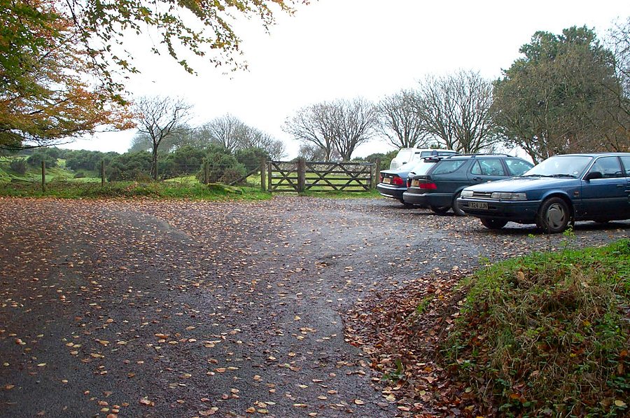
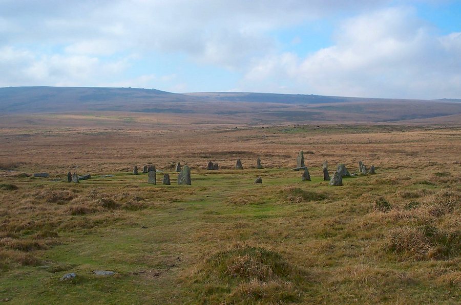
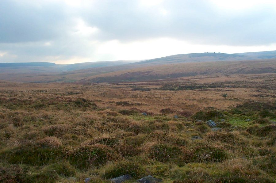
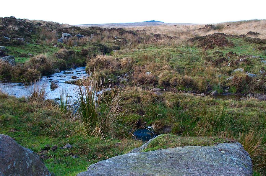
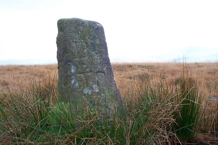
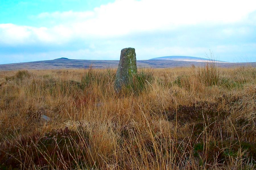
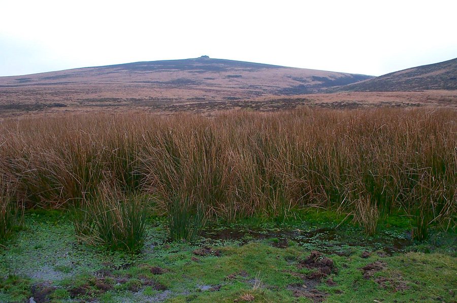
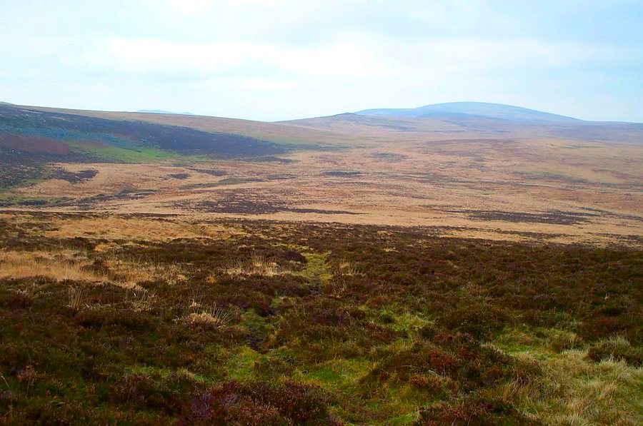
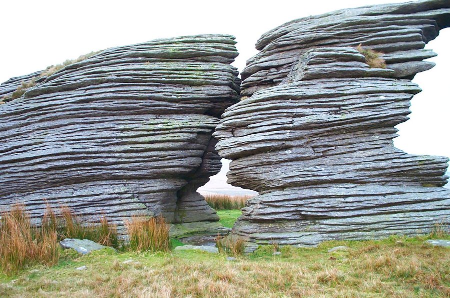
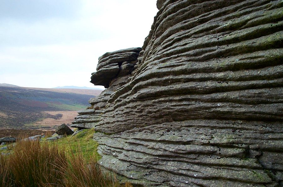
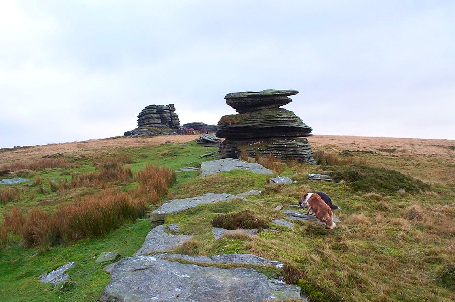
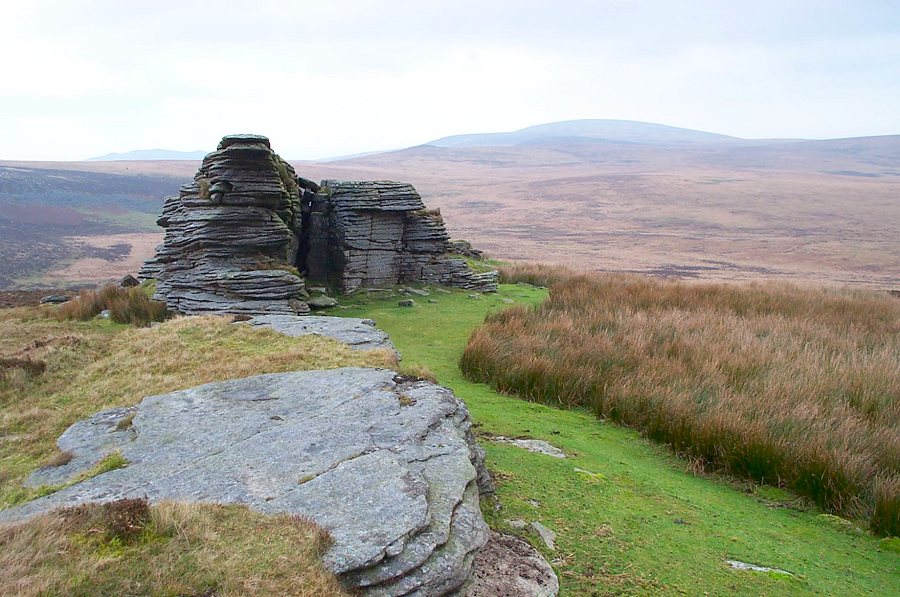
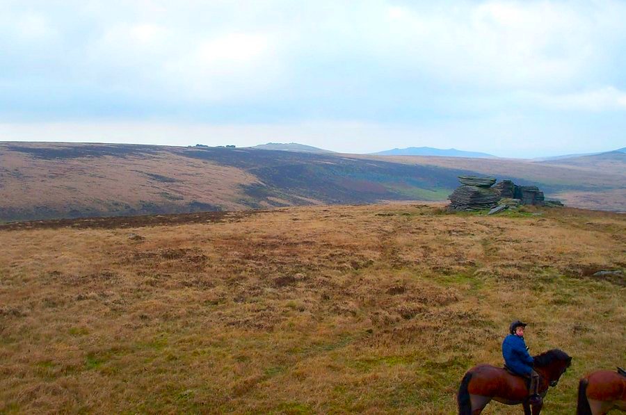
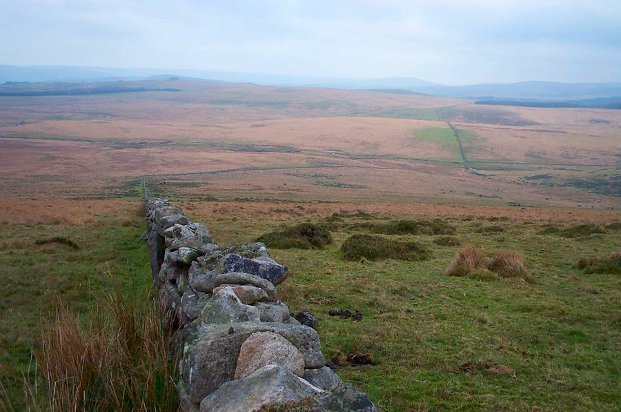
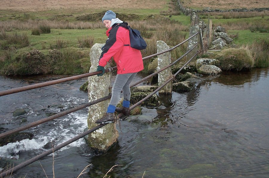
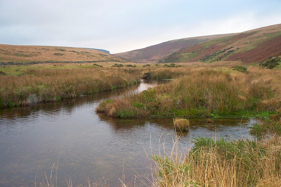
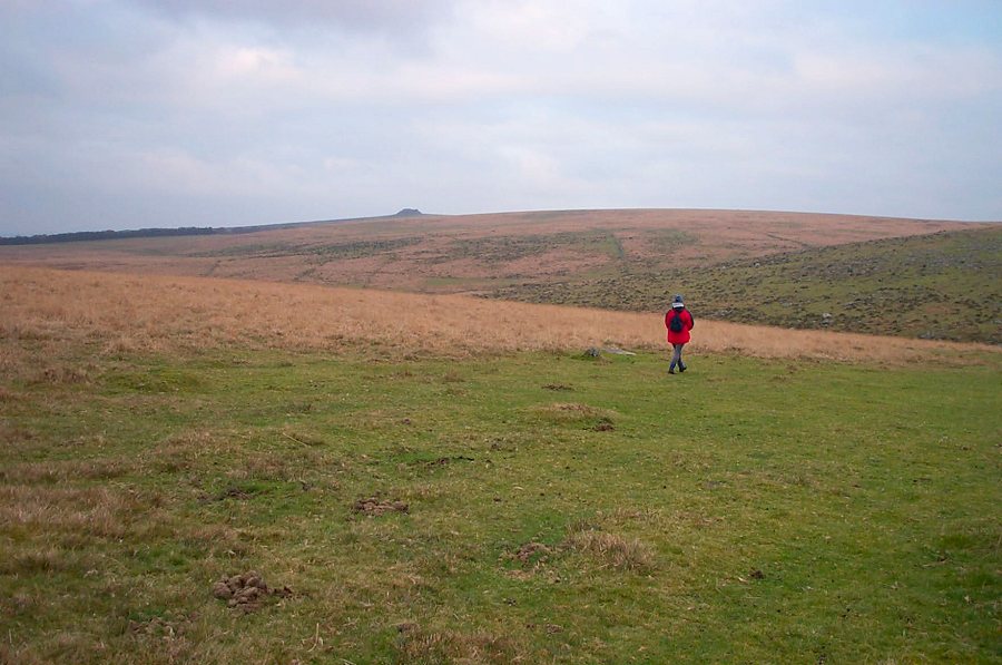
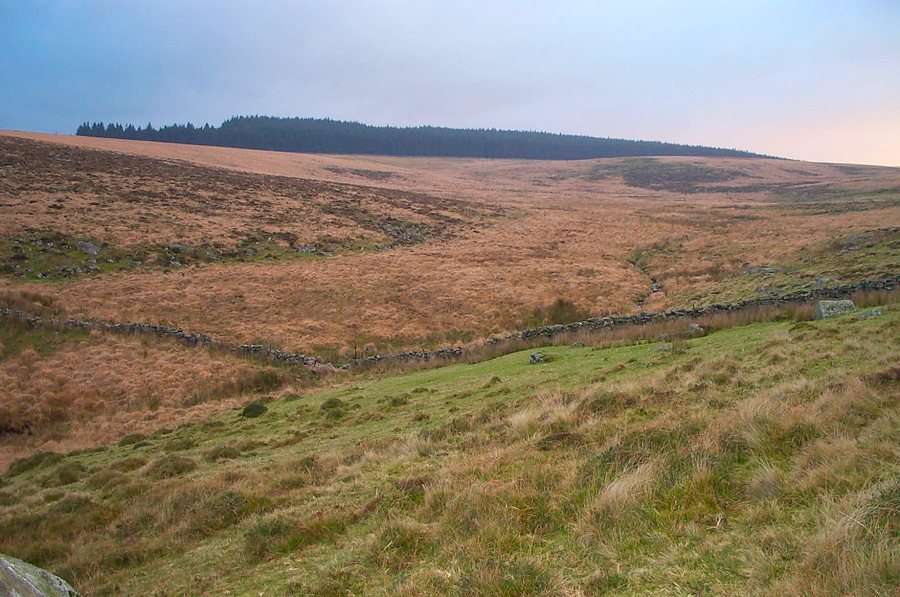
Watern TorWatern Tor (SX 629869) is a strangely eroded tor on the eastern side of the North Moor. The views from it are extremely good. Although Watern Tor is not really in the wilderness it is a wild and exposed place much favoured by horse people. On the eastern side of the tor lies the extensive wet ground of Gidleigh Common. There are a few mires in this area which is why the walk is a circular one that skirts the common.Park (SX 661877) near Scorhill Farm and walk over the hill to the Scorhill circle. Head north on the path between Buttern hill and Rival Tor. The path then heads westwards to Gartaven Ford and then south westwards over Headon towards Wildtor Well (a small but deep mire). Head up the Walla Brook, cross the ford and carry on the path up to Watern Tor. Admire the view. Follow the newtake wall when descending and make for the rails across the Teign river at SX 640860. Continue along the newtake to Stonetor Hill and then head off northwards towards Scorhill clapper bridge and thence to the car park.This is a good walk with gentle climbs. Parts of it can be quite wet especially on the way back - some of it quite near the clapper. Don't underestimate the time needed for the walk especially in winter. You're not back until you cross the clapper.Watern Tor lies on the edge of the military range.
|
||||||||||||||||||||||||||||||||||||
All | Little | Shorter | Standard | Longer | Tors | Relics | History | Links | Panoramas | Home | ||||||||||||||||||||||||||||||||||||