All | Little | Shorter | Standard | Longer | Tors | Relics | History | Links | Panoramas | Home
|
||||||||||||||||||||||||||||||||||||||||||||||||||
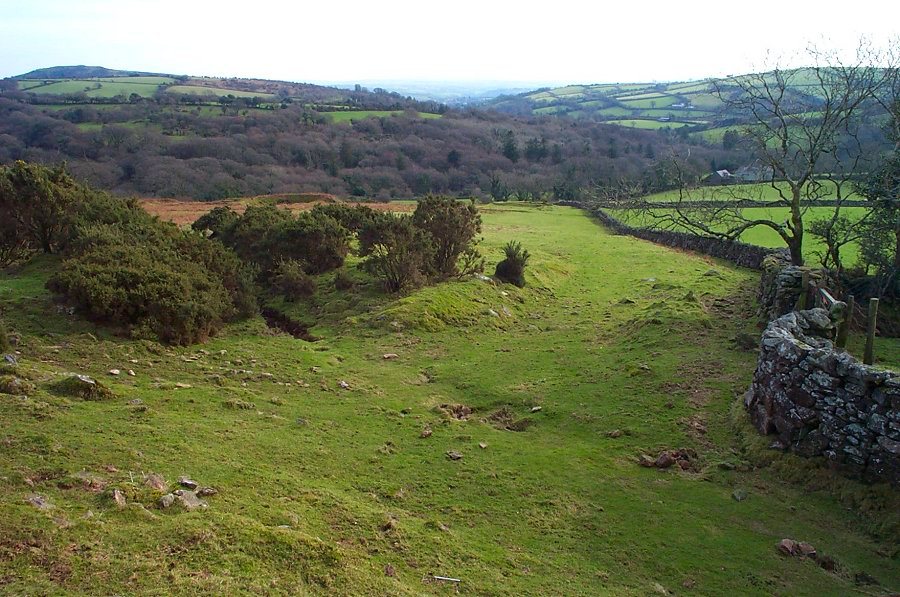
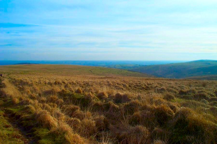
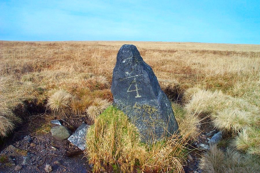
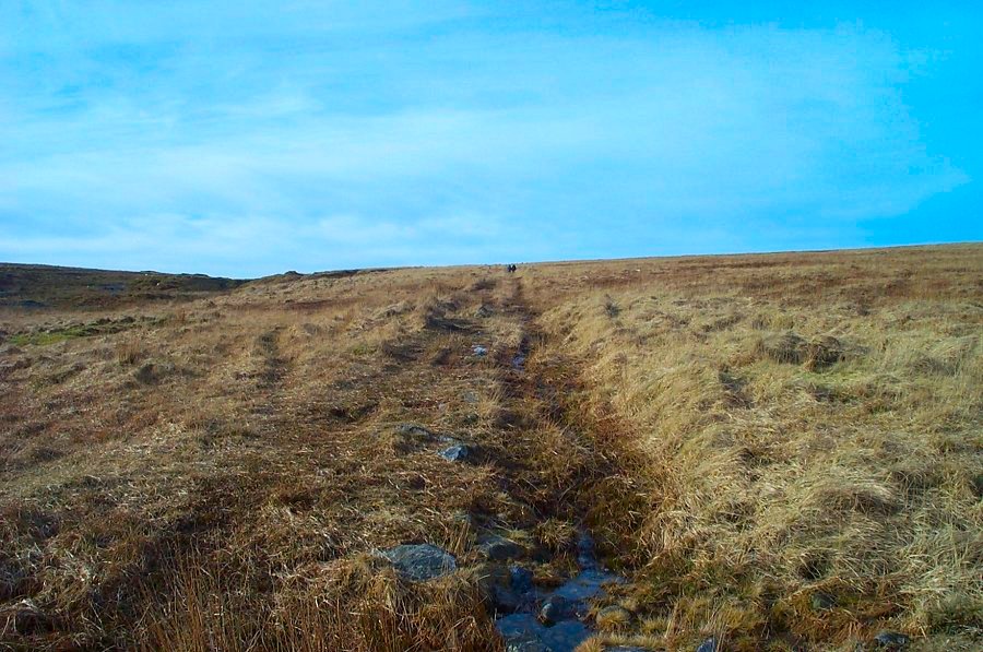
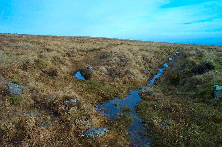
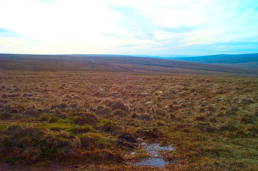
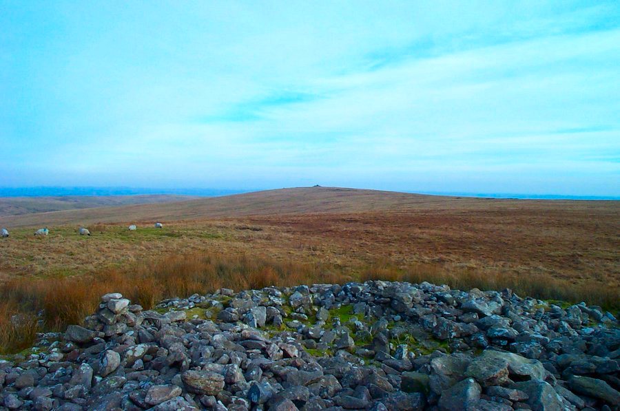
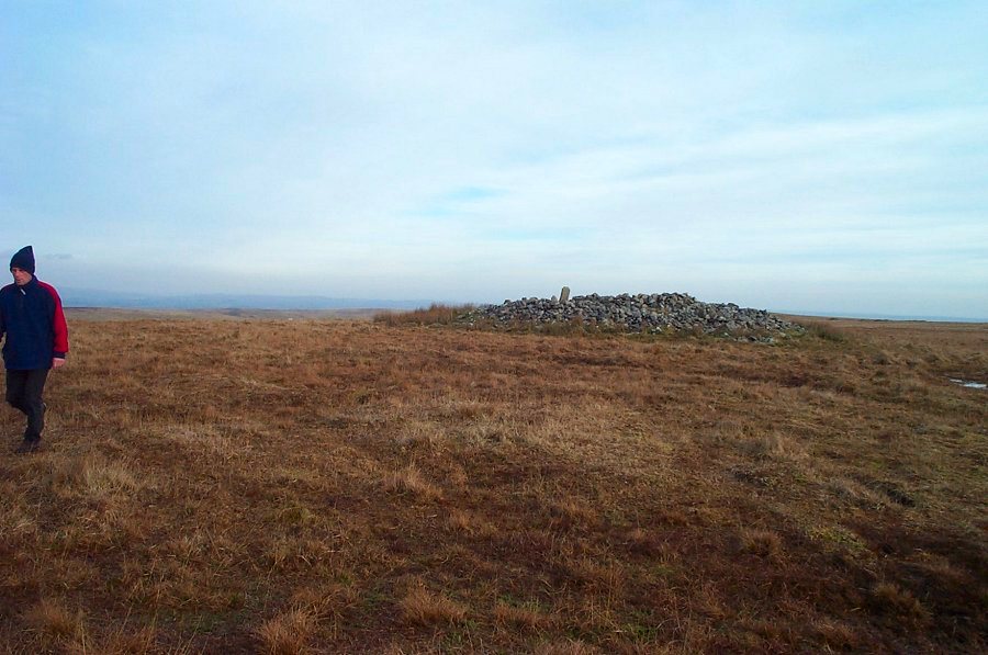
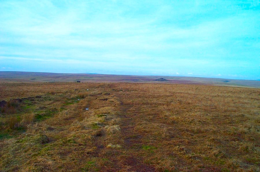
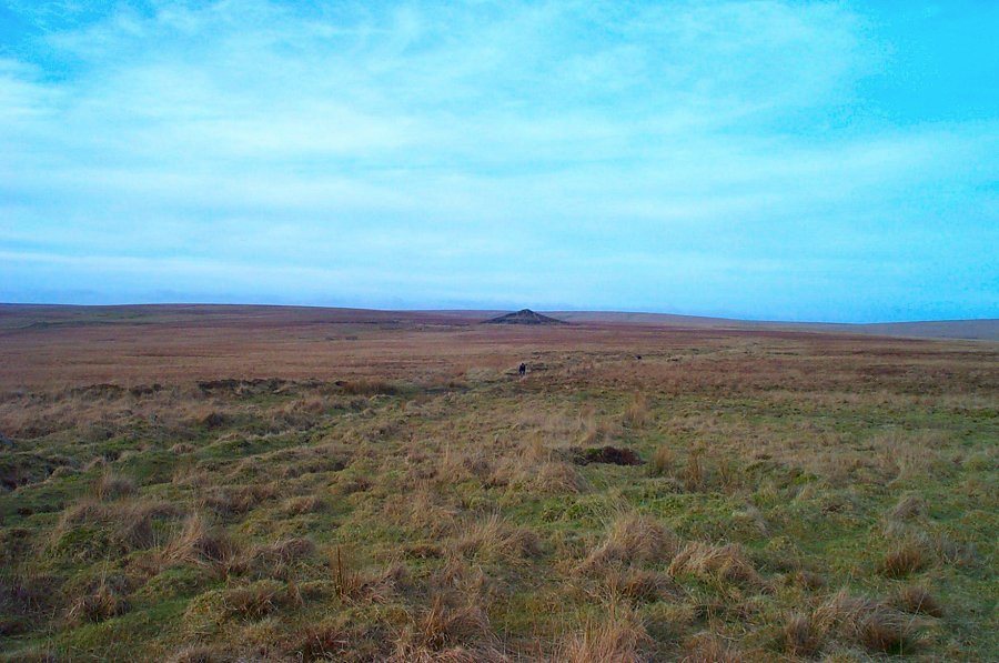
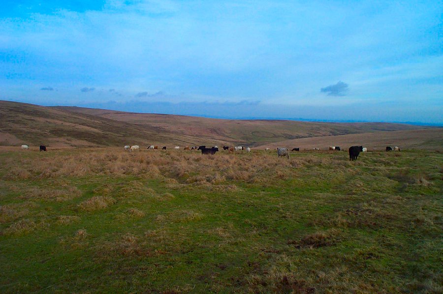
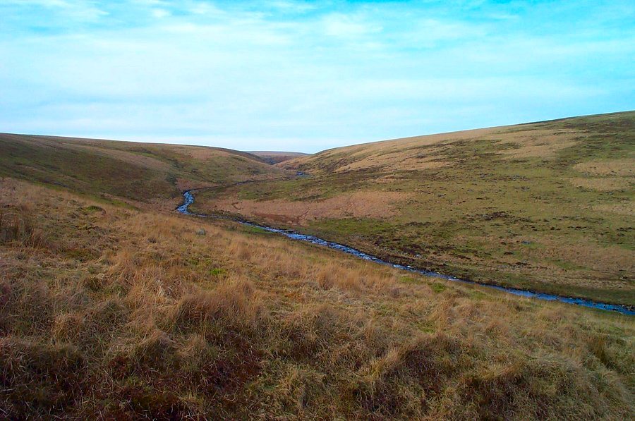
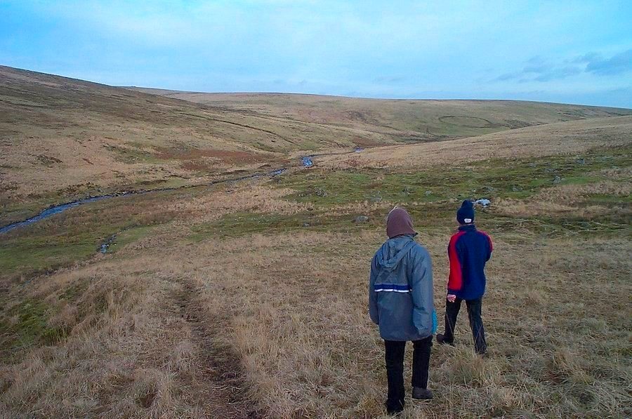
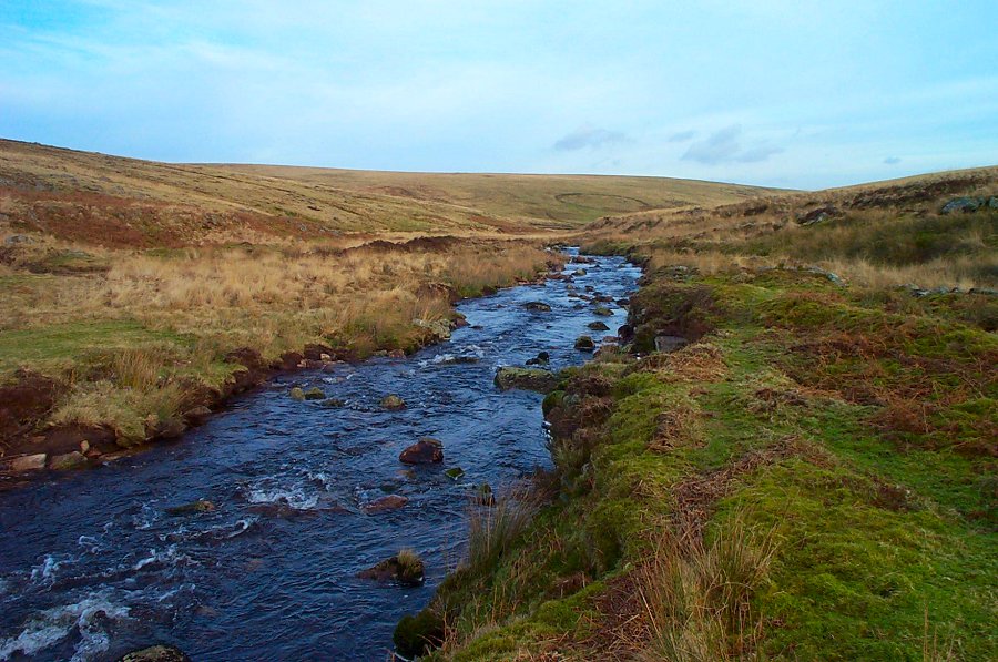
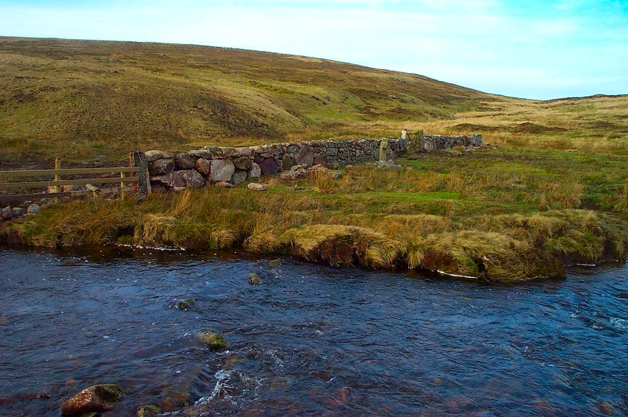
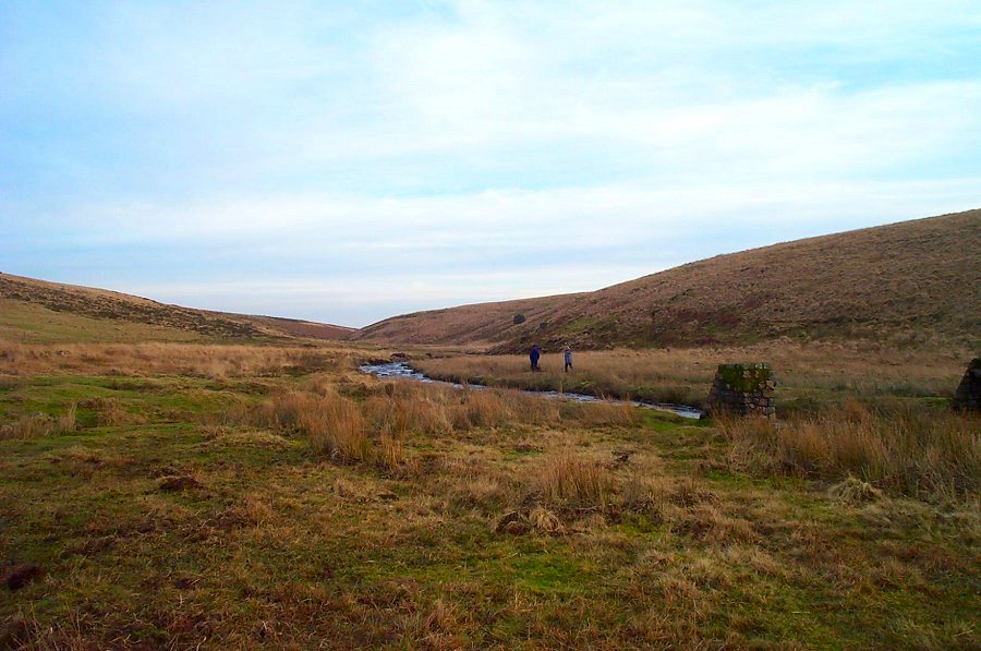
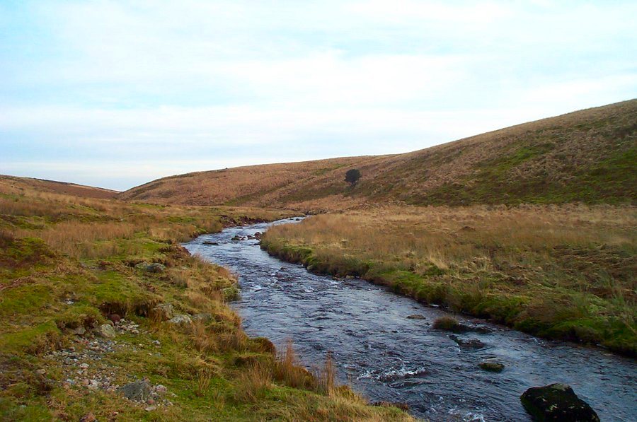
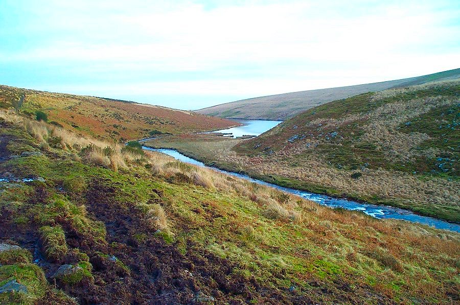
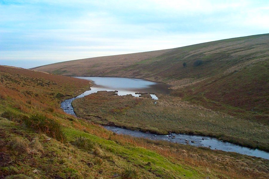
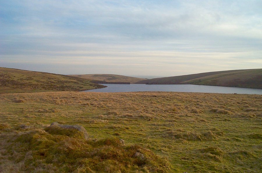
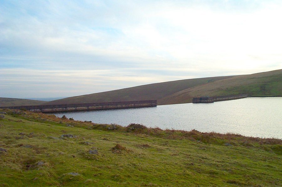
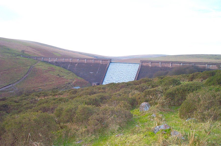
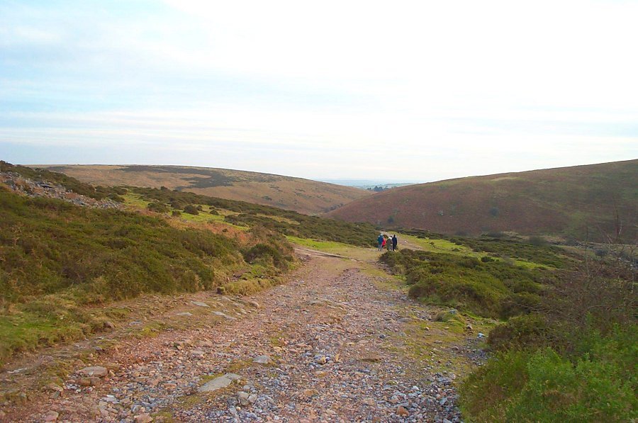
Western White BarrowWestern White Barrow (SX 665652) is a Bronze age cairn. Unlike Eastern White Barrow, it is quite badly damaged although it also has a impressive location overlooking the central wastes of the southern moor. Turf cutters from nearby Red Lake built themselves a shelter amidst the barrow and in so doing damaged the cairn. They knocked the arms off the old Petres Cross and used it as a chimney breast. The Zeal Tor tramway was built in 1847 to take peat from Redlake down to Shipley Bridge. This venture failed after a short while. In 1877 the naptha buildings at Shipley were reused for processing china clay from Bala Brook head. This venture also failed.Park at Shipley Bridge (SX 681629) 3 miles north of the town of South Brent. From here there is a road to the Avon Dam which follows the Avon river. Follow this road for a short distance and at the Hunter's Stone take the road up to the filtration plant. After a short climb, you can then follow the track of the Zeal Tor tramway which takes you up on the westerly side of Brent Moor towards Red Lake. Carry on until you get to the obvious cairn of the Western White barrow - Petre's Cross (SX 664654). The views from here are superb on a good day - Plymouth, Salcombe, Torbay and most of the Northern moor can be seen. Head in a NW direction for a short distance (overlooking the lonely pyramid of the Red lake spoil tip) and then head eastwards back down the hill along the Abbott's way. This takes you to a ford across the Avon at Huntingdon Cross (SX 664661). Cross this (if possible) and then head along the southern part of Dean Moor keeping the reservoir in view. Head for the weir and then take the metalled road back to Shipley Bridge.Afer heavy rain the river at Huntingdon Cross may be too high to ford. If this is the case then carry on along Bishop's Meads. After a little bit of difficult ground you'll hit a path which will take you back to the dam.This walk takes you to the edge of the South Dartmoor wilderness. It is not a difficult but around the Avon stream it gets quite wet. It takes about 3-4 hours. A map and compass are essential. Be careful in adverse weather problems once you're off the tramway.
|
||||||||||||||||||||||||||||||||||||||||||||||||||
All | Little | Shorter | Standard | Longer | Tors | Relics | History | Links | Panoramas | Home | ||||||||||||||||||||||||||||||||||||||||||||||||||