 |
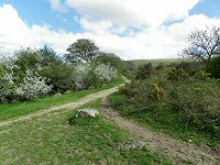
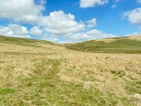
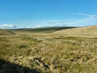
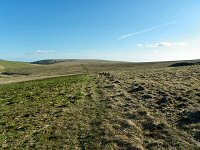
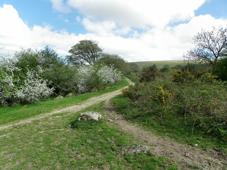
The footpath (SX 625612) leading north towards Watercombe Gate
from New Waste. |
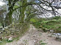 |
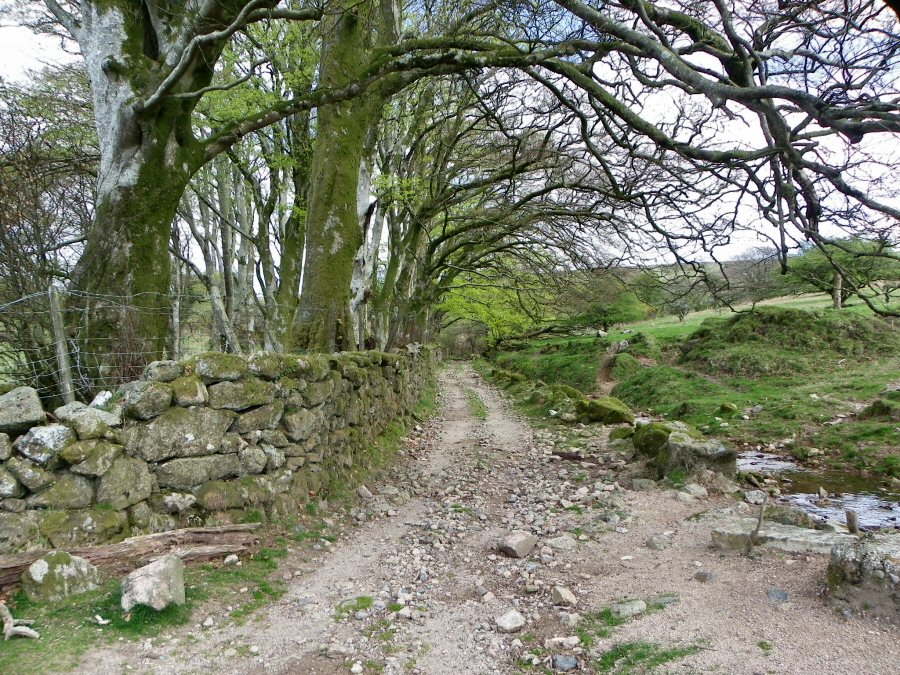
The lane beside Watercombe. |
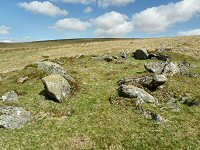 |
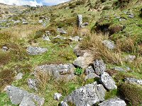
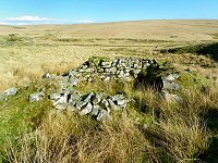
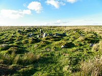
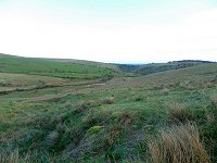
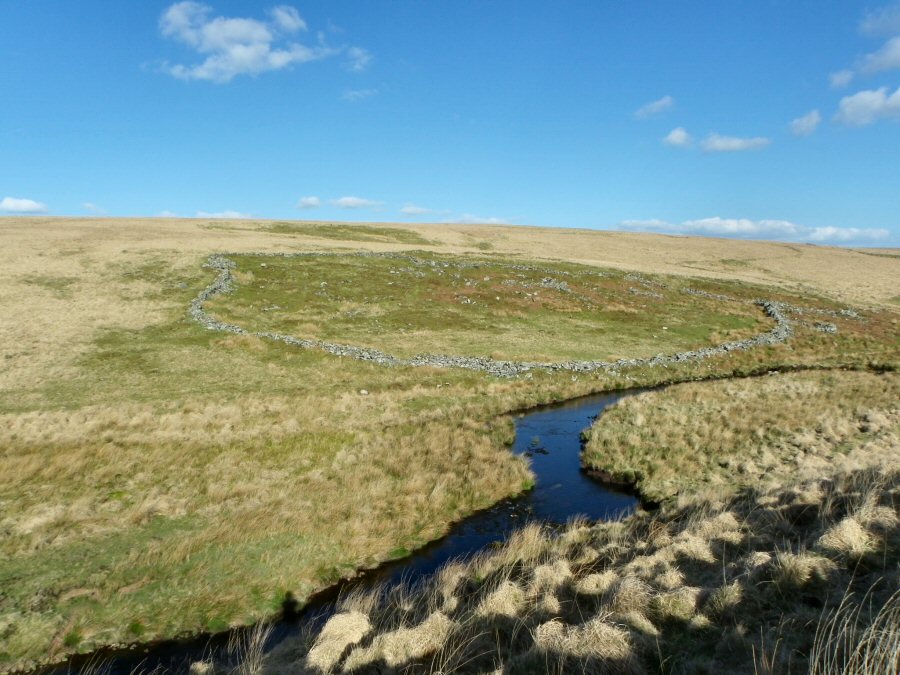
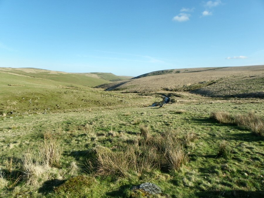
One of the Bronze Age settlements within the enclosure at SX 623624 |
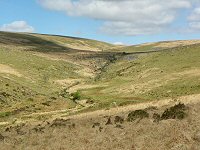 |
Looking northwards up the Yealm valley from the edge of the hillside at SX 623630. The waterfall at Yealm Steps is clearly seen in the middle of the picture. |
 |
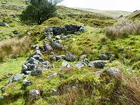
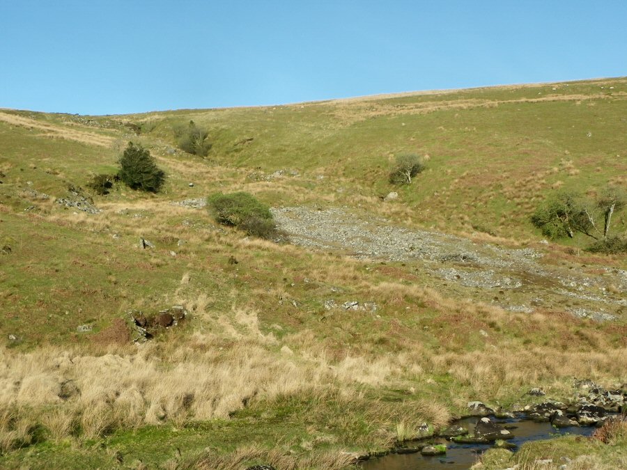
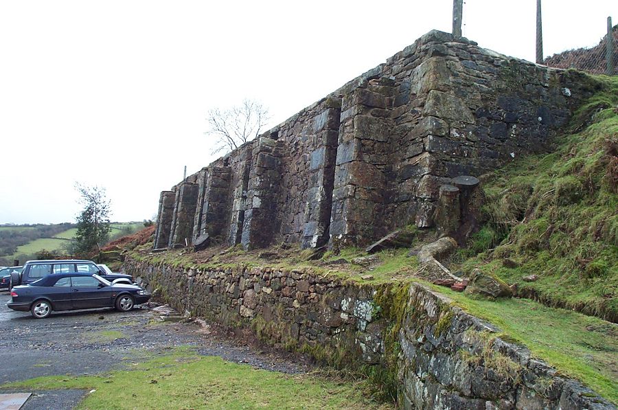
The blowing house (SX 618635) beside the Yealm south of Yealm Steps. Now it appears just a jumble of rocks, but originally this would have been a distinct building whose job it was to process the mined local tin into ingots. It would have been powered from the Yealm stream. |
 |
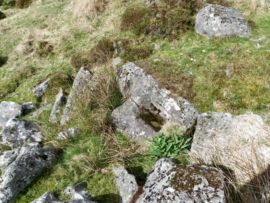
A closer look at the mould stone from the blowing house. This is where the tin ingots would have been created. |
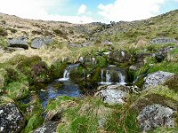 |
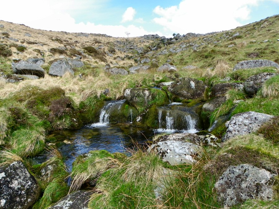
One of the waterfalls at Yealm Steps. |
 |
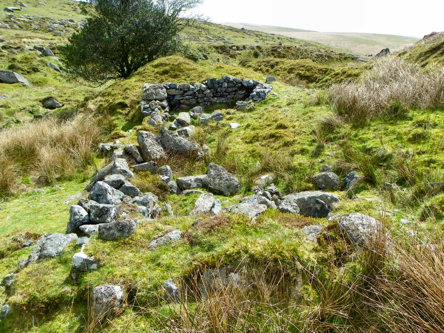
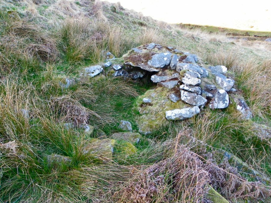
Remains of the Yealm Steps blowing house at SX 617638 |
 |
A closer look at the Yealm Steps blowing house. |
 |
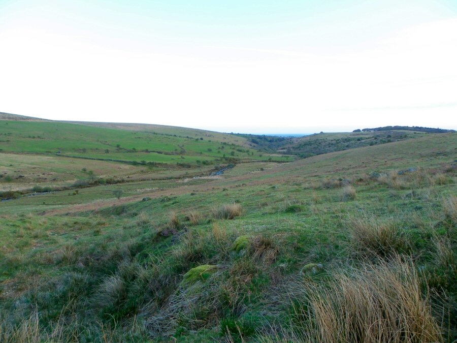
The Yealm valley from SX 615638 |
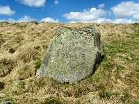 |
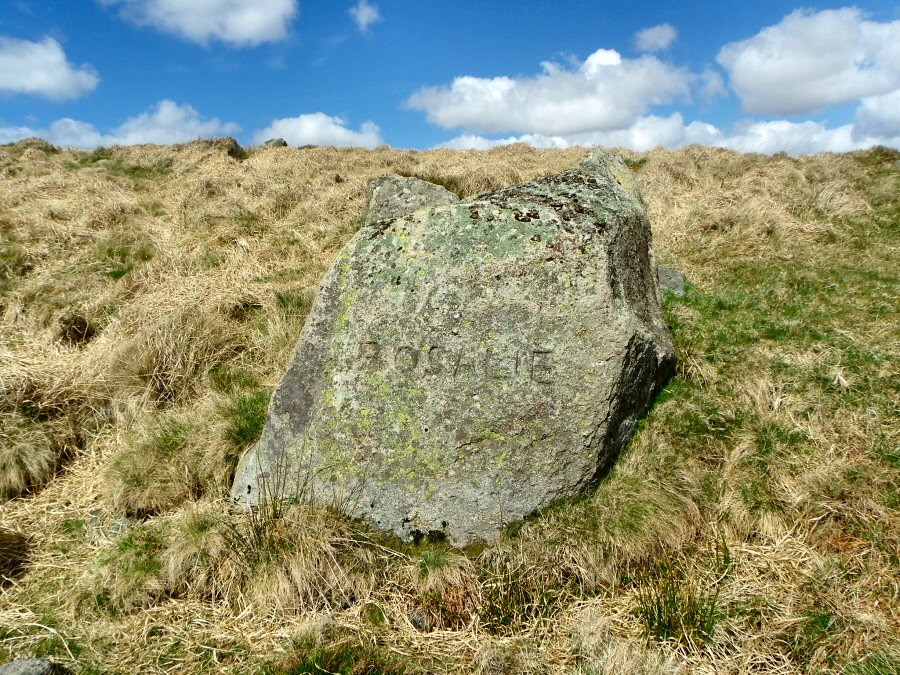
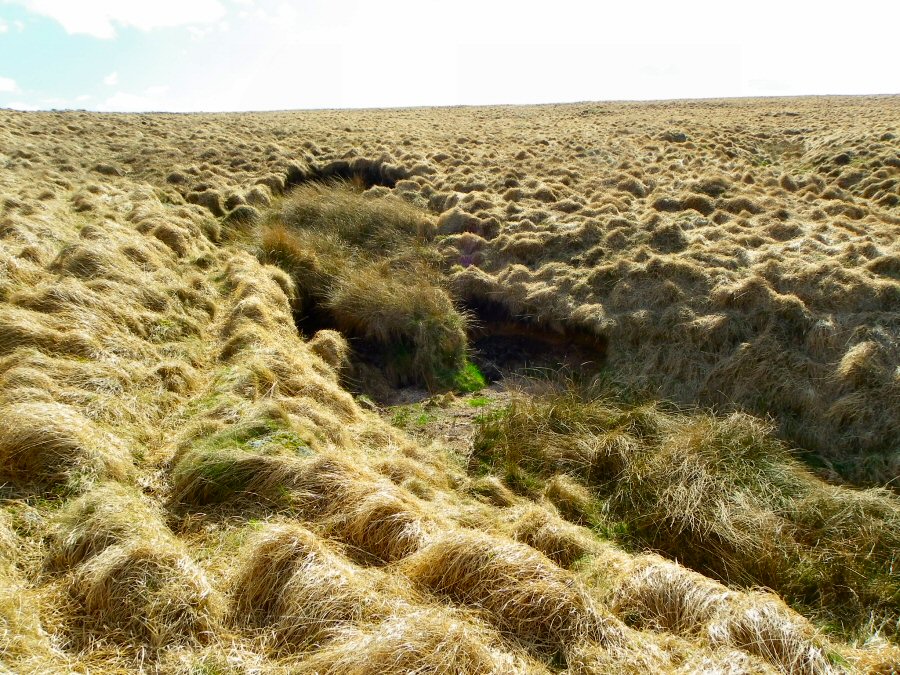
The Rosalie stone at SX 605640. Who inscribed this? Who was Rosalie? |
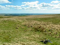 |
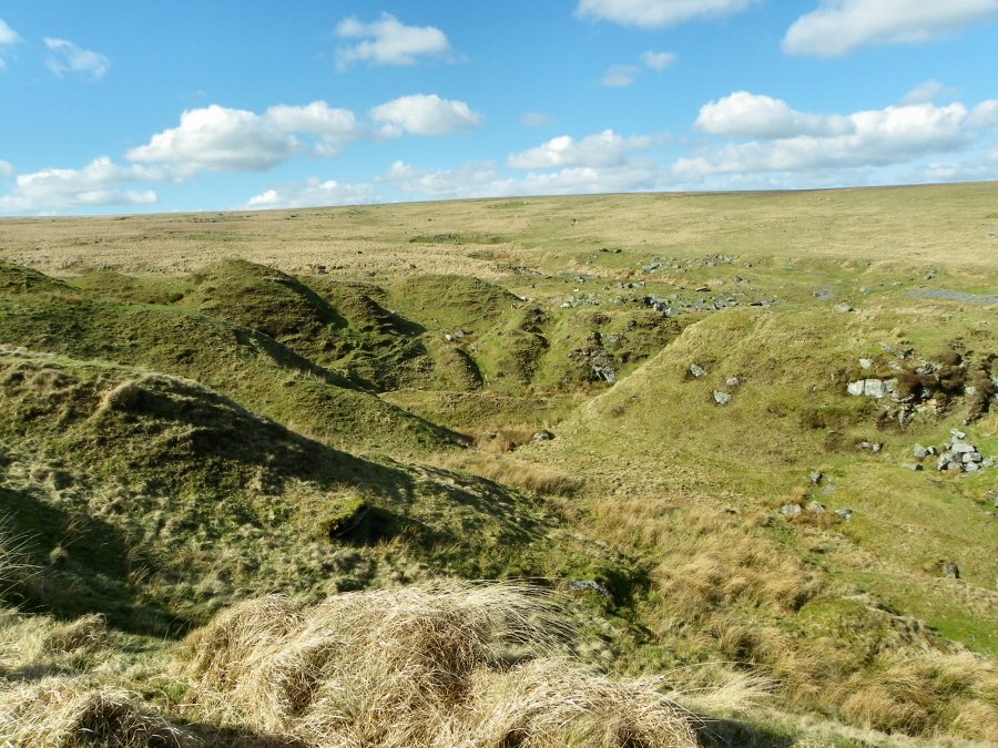
The view looking south over the edge of the South Hams from Broadall Gulf. The Rosalie stone is at the bottom of the picture. |
 |
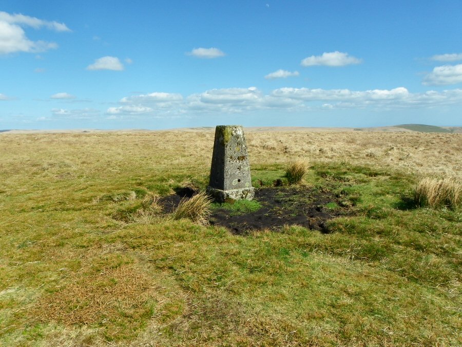
The triangulation point at Shavercombe Head (SX 602645) - 493 metres.
This is one of the highest points on South Dartmoor and there are
excellent
views
from here. |
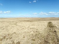 |
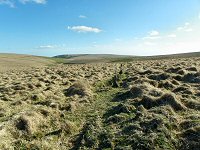
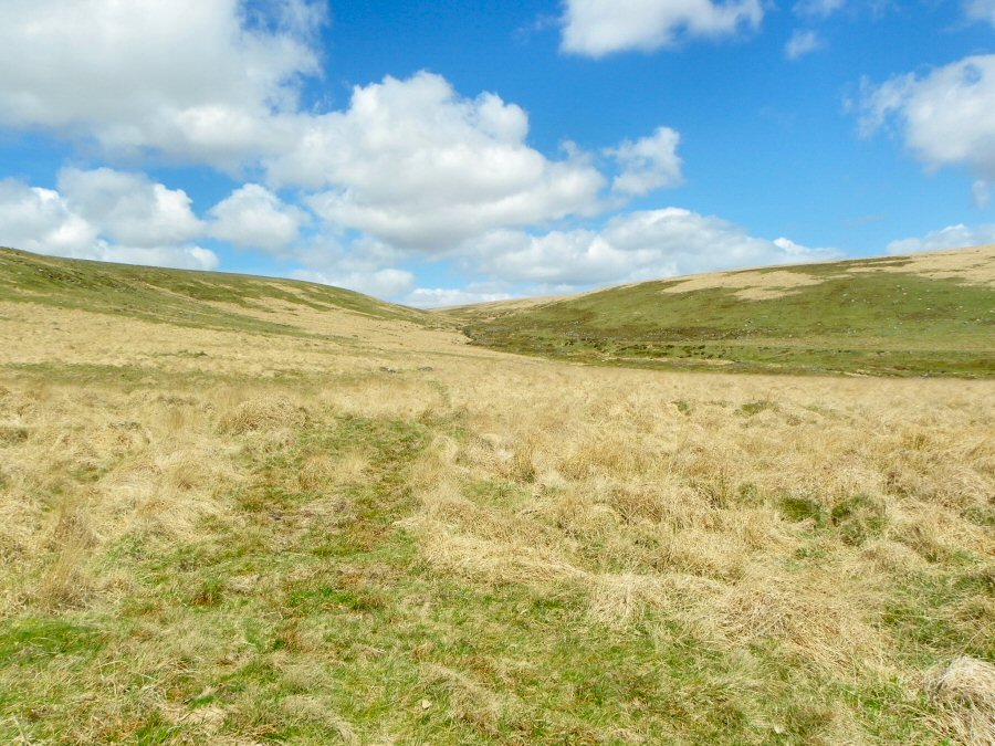
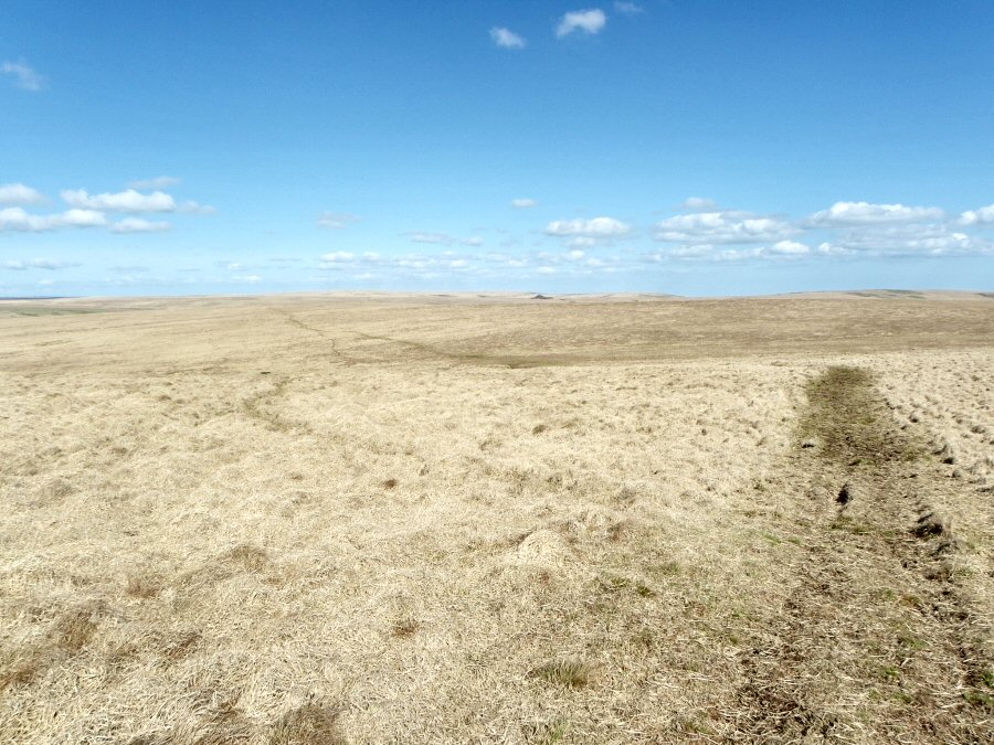
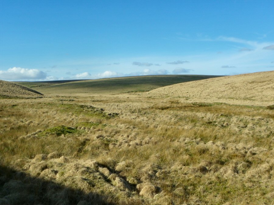
On the plateau path going towards Langcombe Hill. This picture is taken in pretty well ideal conditions where the walking was easy over dry ground. The views are excellent from this exposed place. |
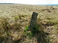 |
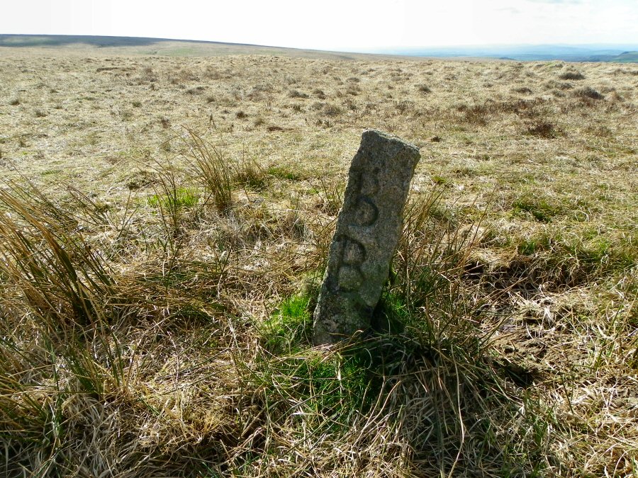
A Langcombe Hill boundary stone at SX 618658. It is inscribed with BB which stands for Blachford Bounds. Blachford is an ancient manor based in Cornwood. |
 |
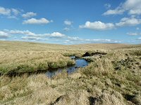
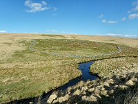
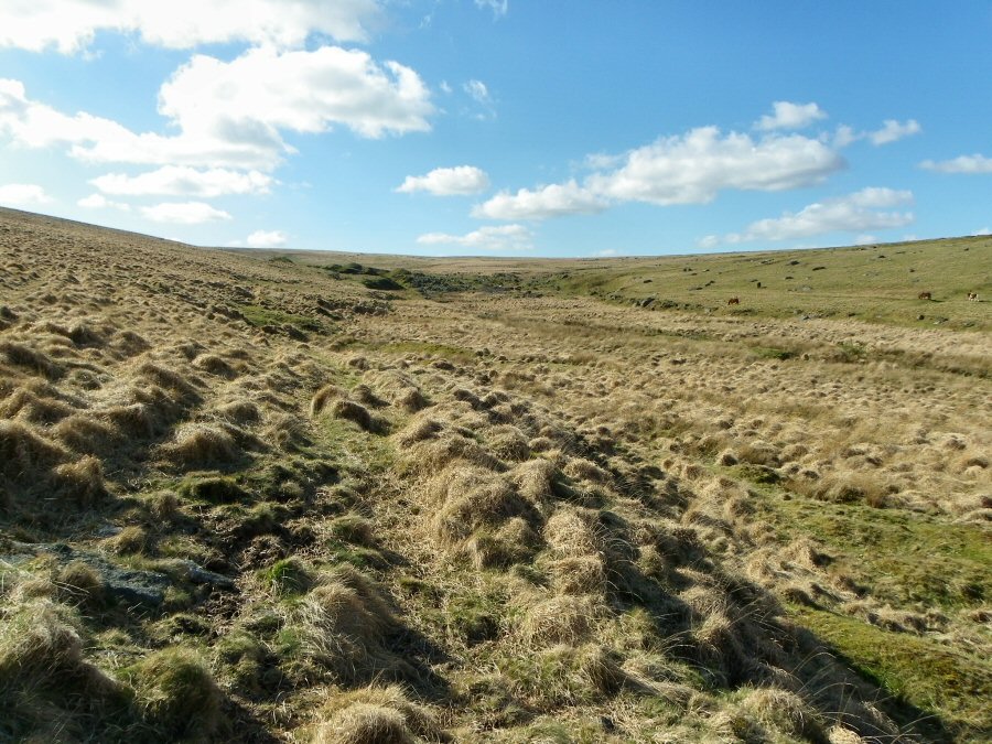
One of the tributary heads of the Erme at SX 622667 |
 |
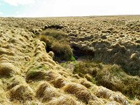
Erme Pits. These are the remains of medieval (and
later) tin workings. There are heaps of stones and large gulleys
that pass between large mounds of granite. At one time this must
have been an industrial eyesore, but time has weathered the rocks
and the Pits now support a good population of rabbits. |
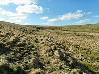 |
Looking back at Erme pits from the upper Erme valley. |
 |
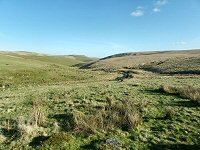
The beautiful Upper Erme valley. This secluded valley is one of the most lovely areas of inner Dartmoor. |
 |
The strangely named The Meadows (SX 637657) with the Erme meandering through. Straight ahead on the horizon is Green Hill - purportedly one of the most fertile places on the moor. |
 |
Erme Pound - SX 638656. This Bronze age circle has been used as
an animal pound for a long time. There are 2 huts built outside the
pound that
acted
as
shelters for the herders. One of them has substantial seating inside. |
 |
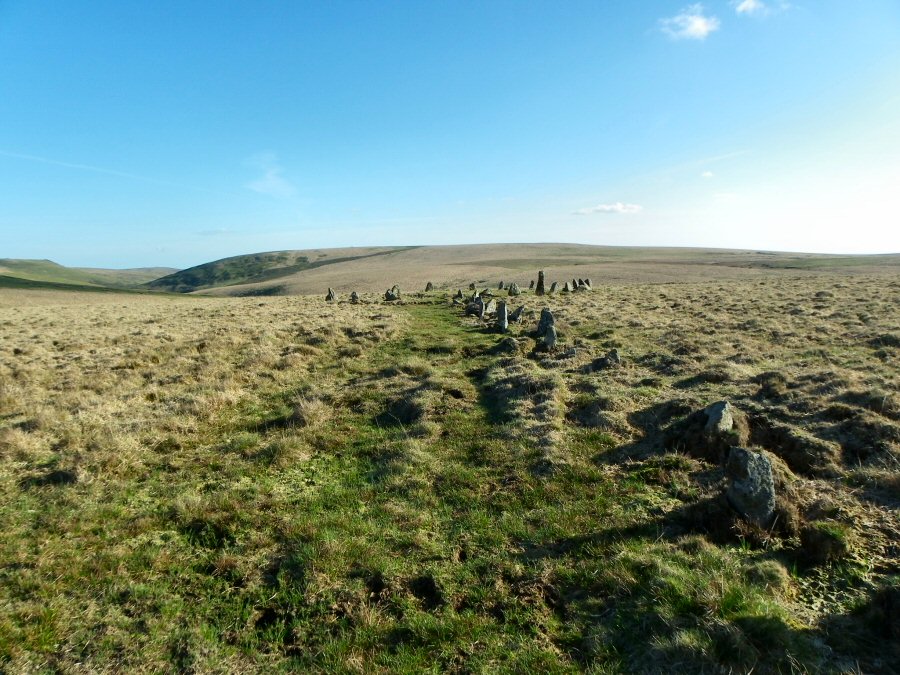
Beside the longest stone row in the world - SX 636654.
Over 2 miles long it ends at a cairn on Green Hill. |
 |
Remains of the Hook Lake blowing house at SX 639651 |
 |
Another view of the long stone row. How long has this row been here? Who built it? Why did they? Is it a boundary marker - or maybe a significant row? |
 |
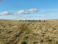
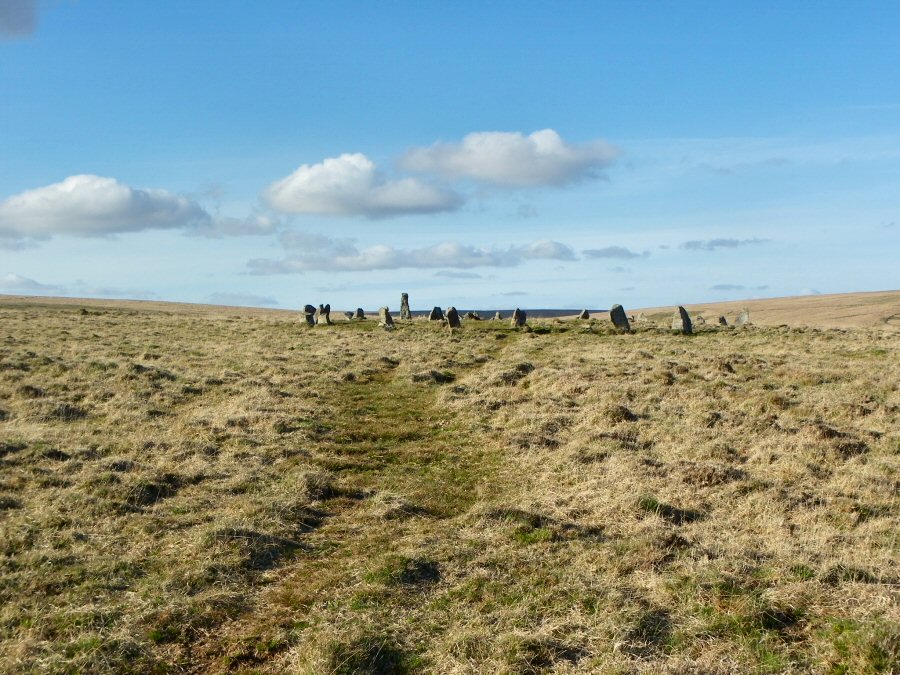
Approaching the Dancers' stone circle (SX 635644) from the north.
The story goes that 26 girls came up here one Sunday to dance and
party.
For their
sins
they were turned into stone in case others were tempted to do the
same. |
 |
Another view of the Dancers' circle. |
 |
On the southern slopes of Stall Moor overlooking the Erme just before it enters the steep sided valley below Harford Moor. |
 |
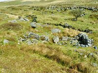
Remains of one of the settlements beside Blatchford Bottom and the Erme - SX 635640 |
 |
The Dry Lake valley. |
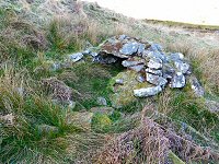 |
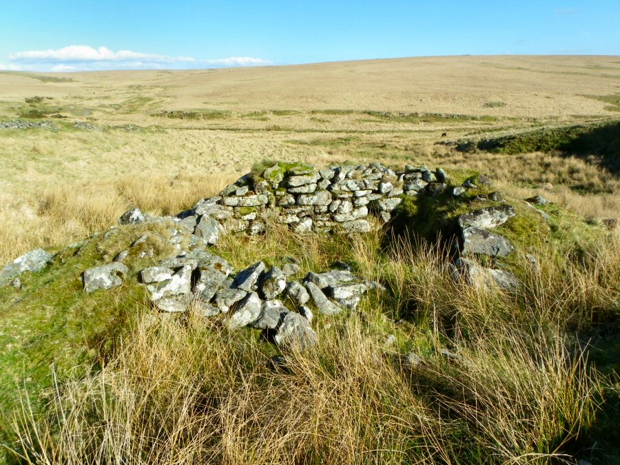
Downing's house (SX 639629). This is a medieval tinner's beehive shelter
where tools and tin ingots were probably stored. It is too small to
be a shelter. Originally it would have been covered by turf. |
 |
Looking down south at the Erme valley from the path at SX 640613. On the right skyline there is Burford Down that contains the rocks of Tristis Rocks. |


