All | Little | Shorter | Standard | Longer | Tors | Relics | History | Links | Panoramas | Home
|
||||||||||||||||||||||||||||||||||||
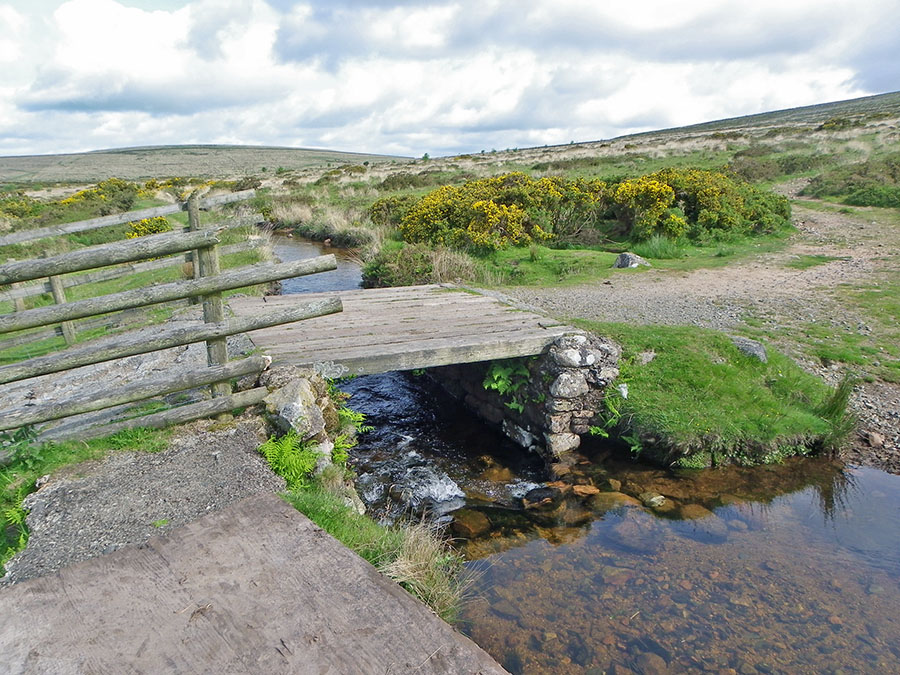
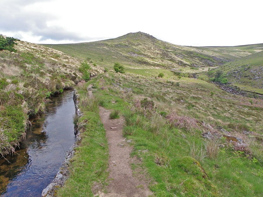
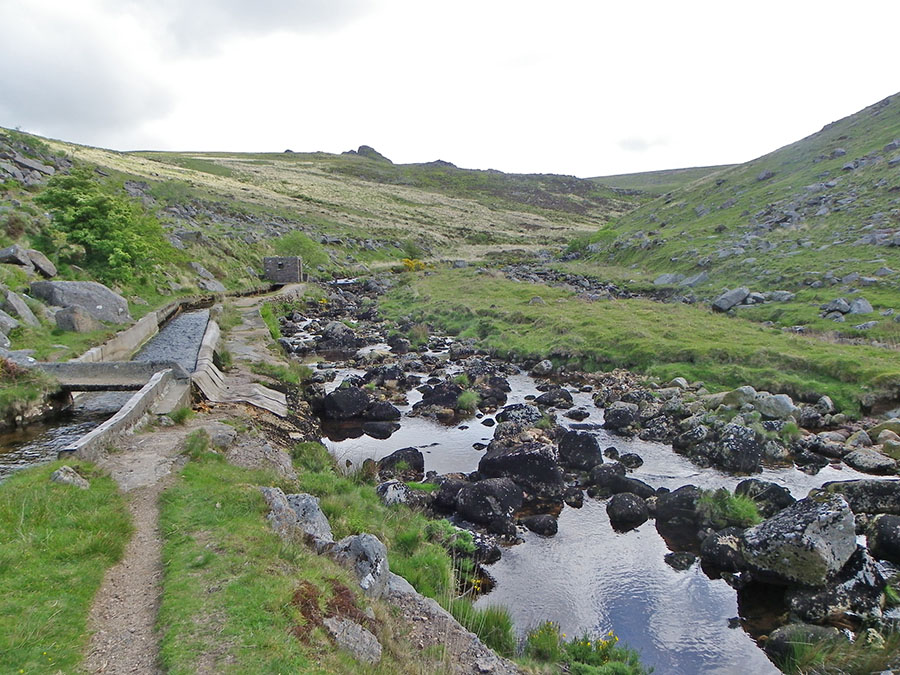
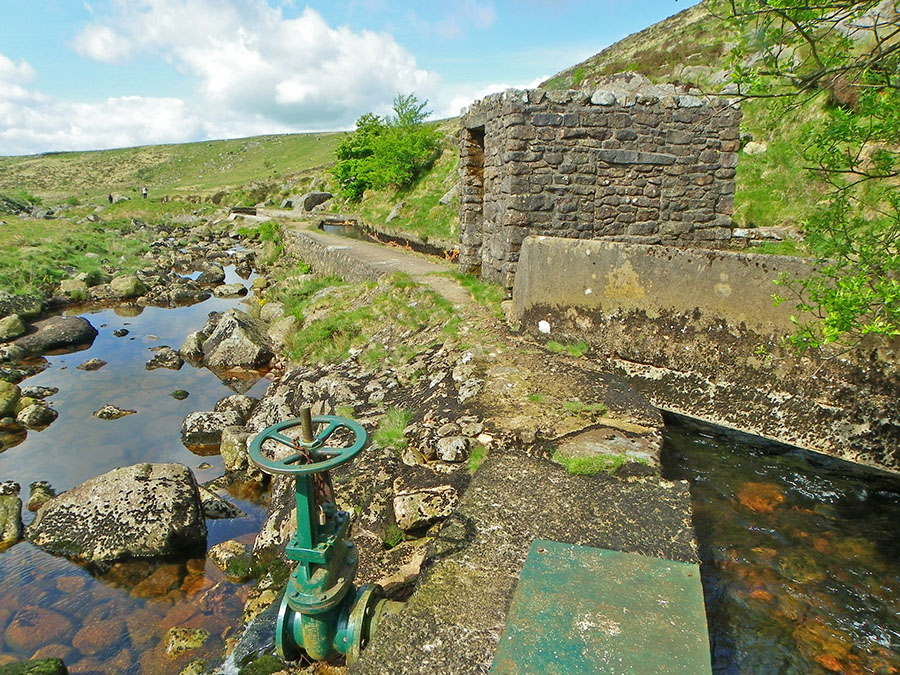
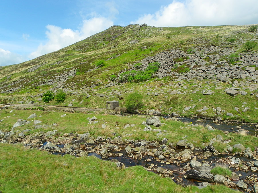
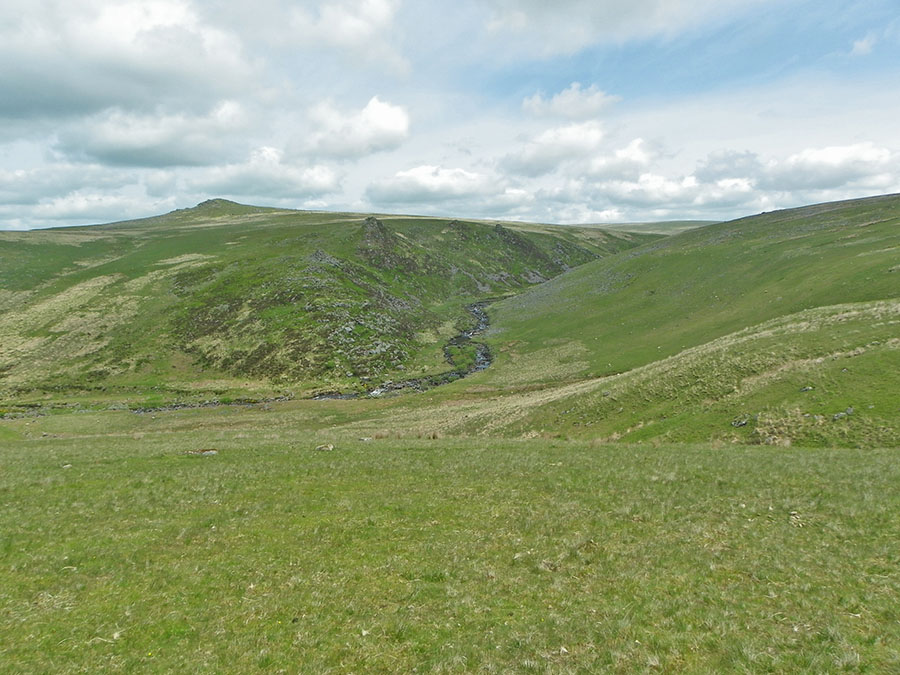
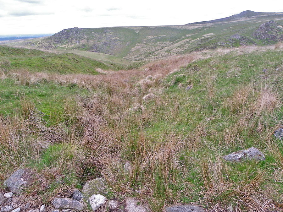
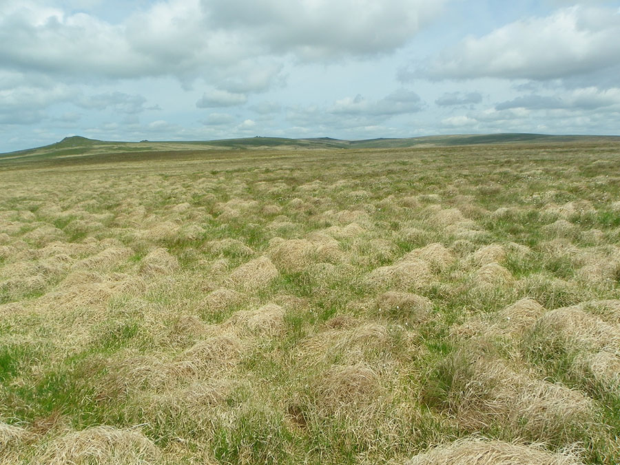
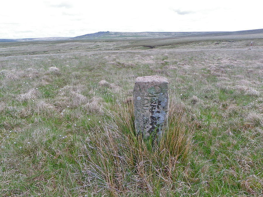
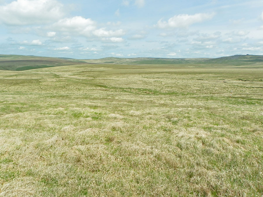
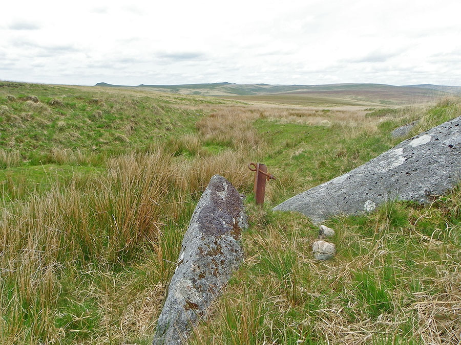
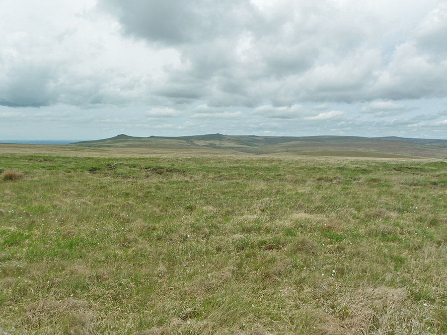
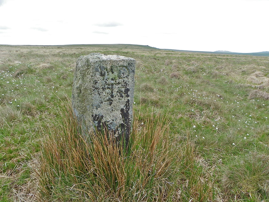
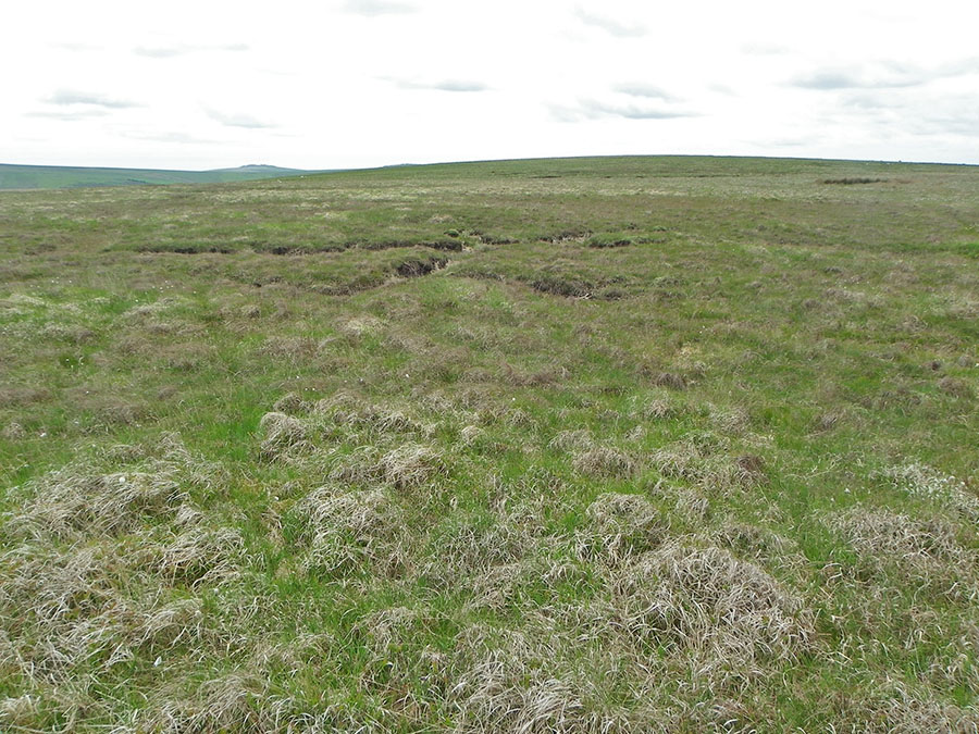
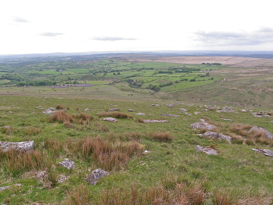
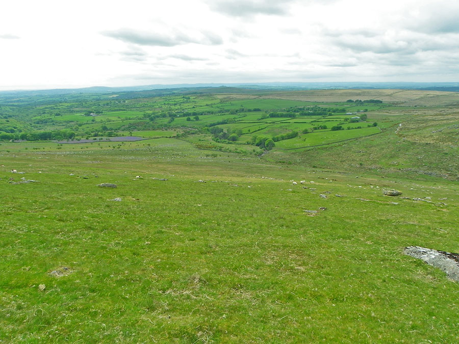
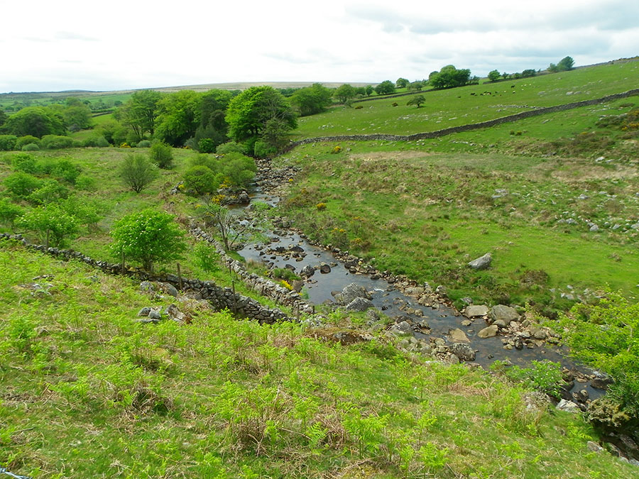
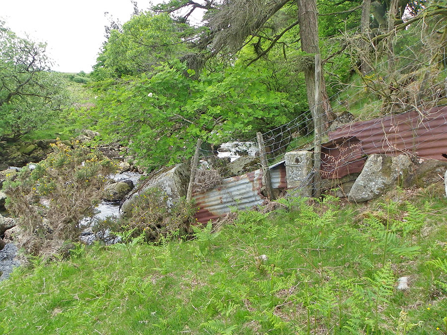
Fuge's PostFuge's Post is a small piece of angle iron that is embedded in rock and was used to tether a horse. Who was Fuge? He was a farmer of nearby Brousentor Farm. He went horseabout to do what had to be done on this piece of exposed moorland. The post is situated in an isolated and windswept part of Northern Dartmoor at the top of the Eastern Redlake streamlet. This is not the easiest place to get to and neither is the post the easiest thing to find. It is within the military training areas for good reason - this is difficult terrain in poor weather. Legendary Dartmoor gives an excellent description of Fuge's Post and the problems in finding it. Check out at Fuges Post. It is a good exercise and challenge in walking Dartmoor terrain. Not the easiest of walks.Park at Lanehead (SX 537824 - north from Mary Tavy). Take the NE path over Nattor Down until you hit the Wheal Friendship leat and then follow it on the right hand side. It loops around Nat Tor and then you'll be at the start of the impressive Tavy valley. Carry on the Wheal Friendship leat path until you get to the leat head. Then cross the Tavy and climb up Standon Hill, traversing Deep Bottom as you go. Walk eastwards, cross over Western Red Lake, the walk up over the Meads. This ground may be awkward. Find the Eastern Red Lake and then walk up to the source. Fuge's post is here. The take the obvious trackway in a westerly direction and once you hit the plateau the head westwards which will take you to the edge of Standon Hill. From there just head on down to the Tavy streambed, cross over and return to Lanehead Car Park.This walk is about 6.5 miles although it may feel longer owing to the terrain. This area is on the intersection of the Okehampton and Merrivale military ranges. If the flags are flying then this area won't be accessible to the public. Even in good weather caution should be taken in doing this walk. It is an exposed place with lumpy ground (although not very wet). If the mist comes down then it would be easy to get lost up there. Map and compass absolutely essential - as is appropriate clothing and backup.
|
||||||||||||||||||||||||||||||||||||
All | Little | Shorter | Standard | Longer | Tors | Relics | History | Links | Panoramas | Home | ||||||||||||||||||||||||||||||||||||