
All | Little | Shorter | Standard | Longer | Tors | Relics | History | Links | Panoramas | Home
|
|
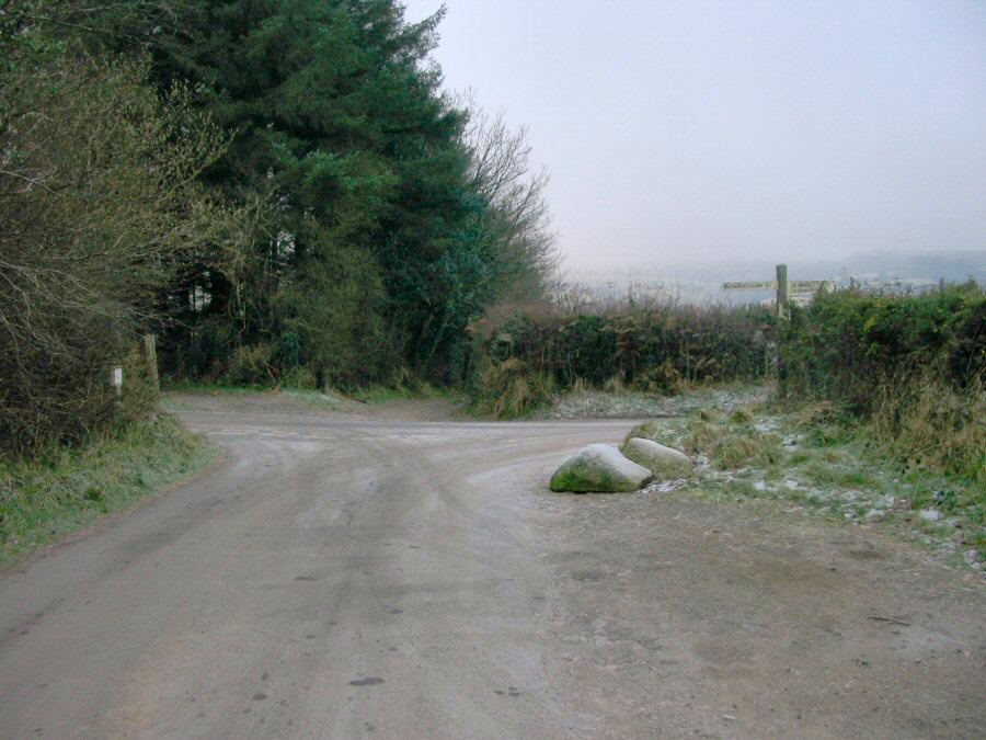
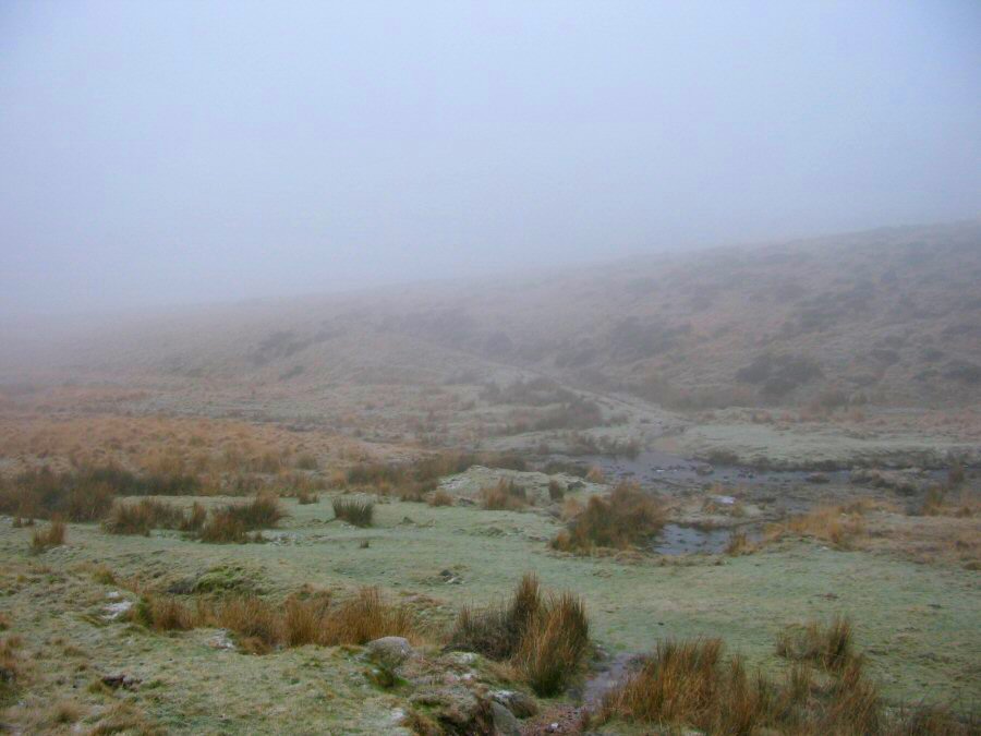
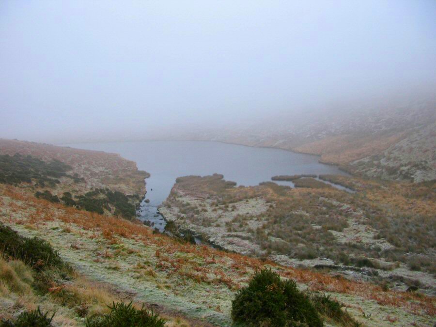
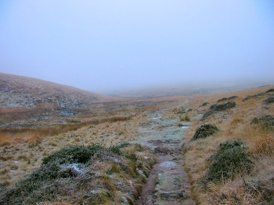
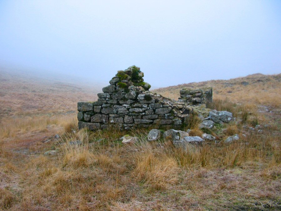
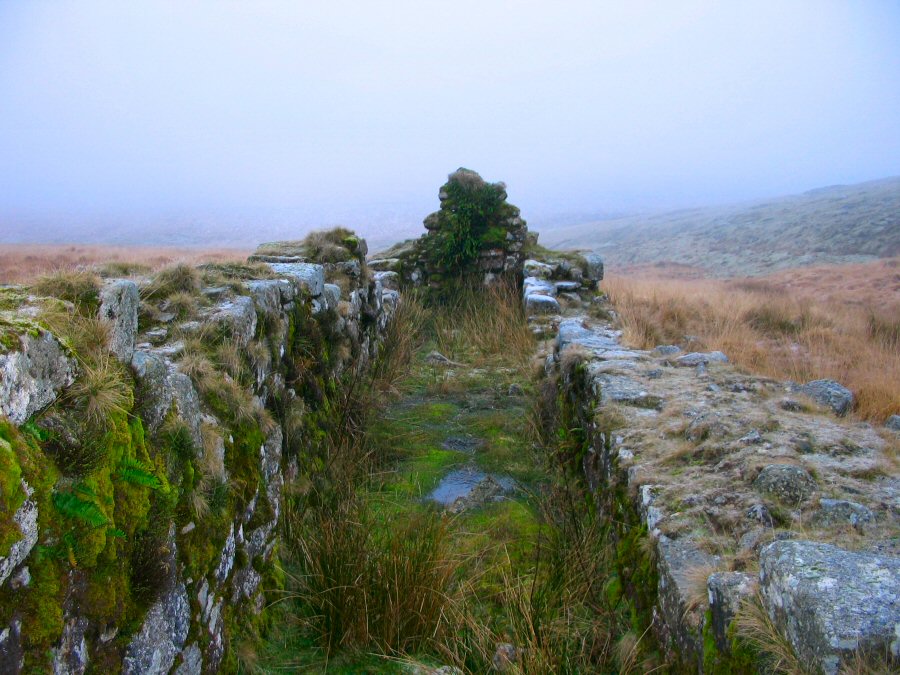
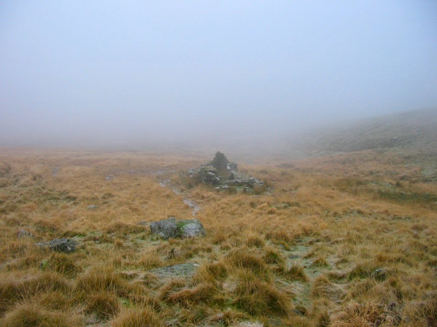
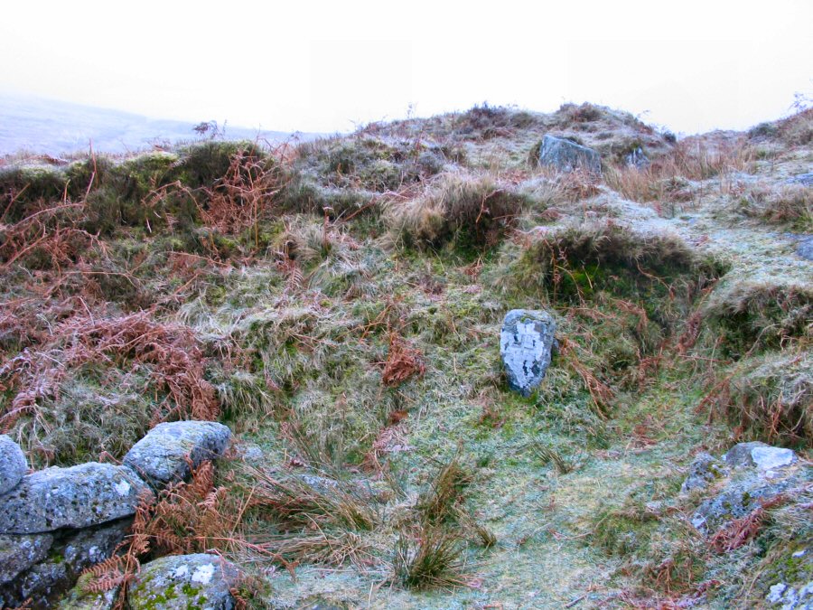
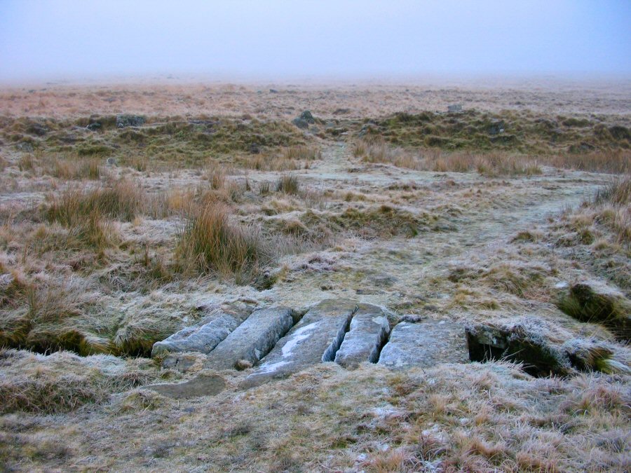
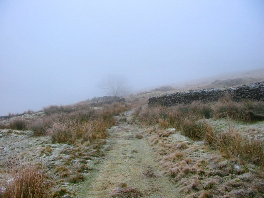
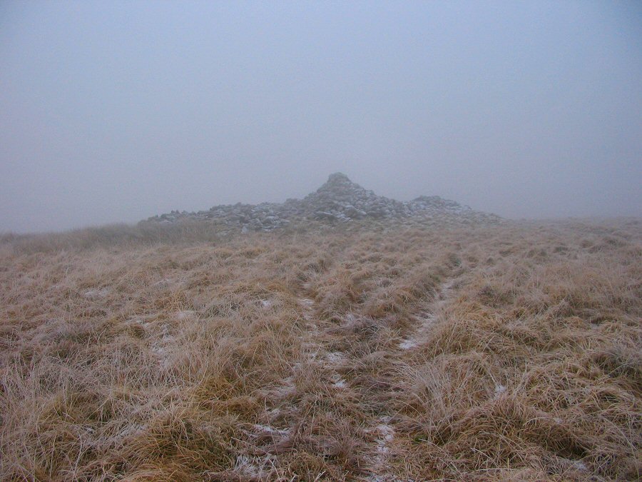
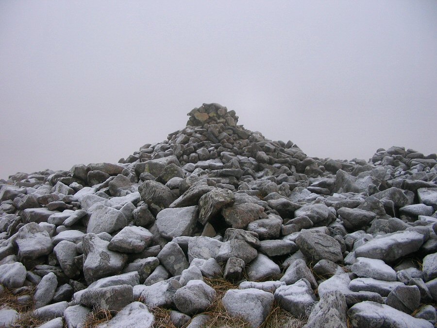
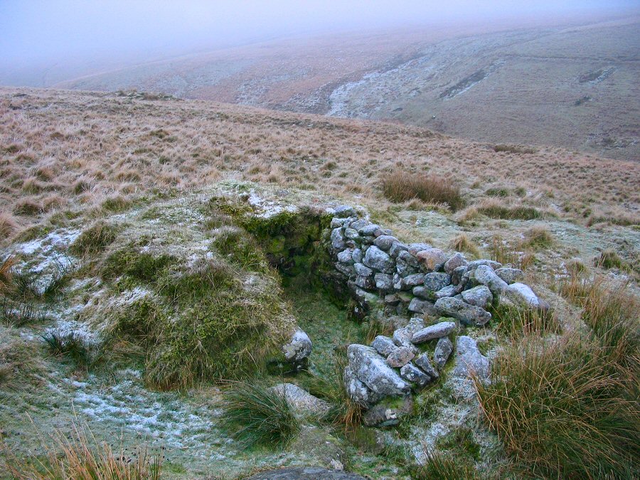
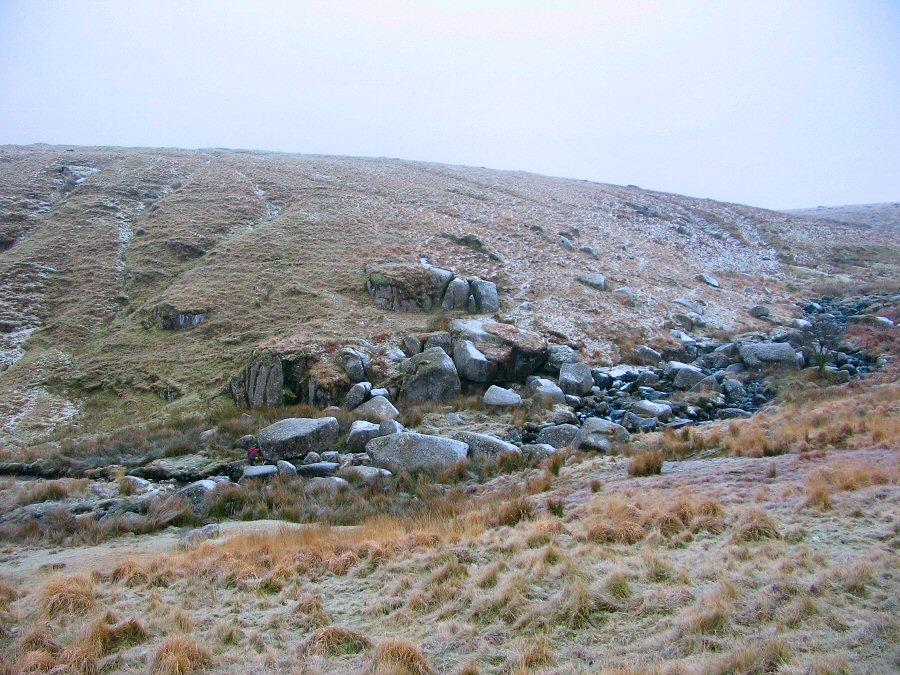
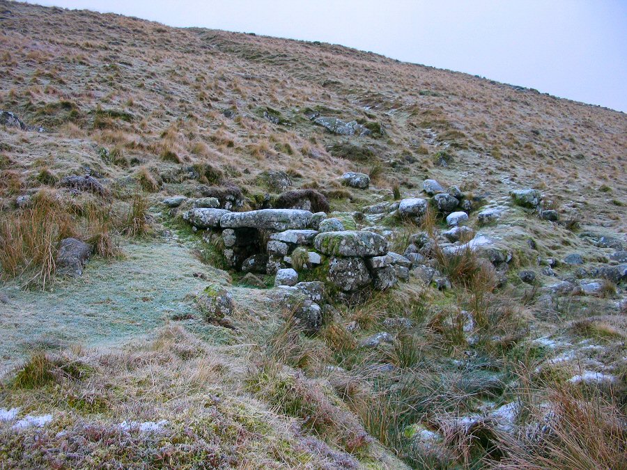
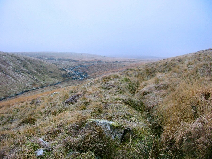
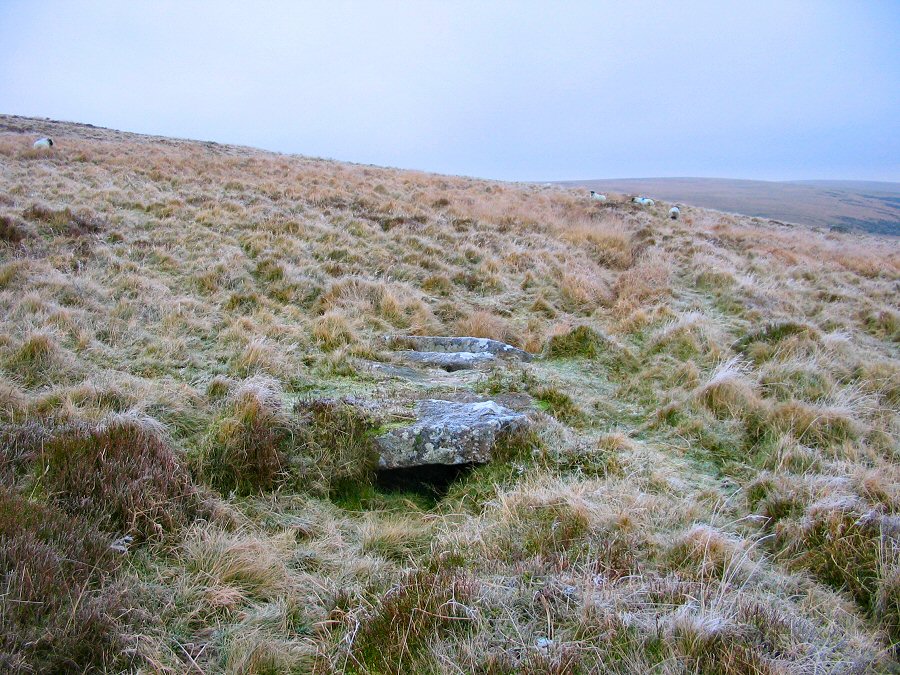
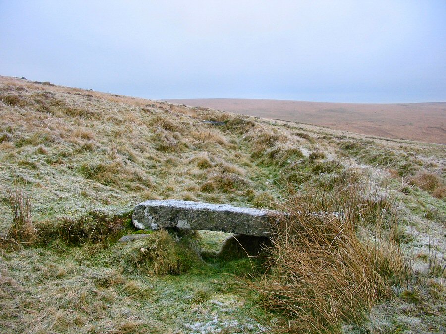
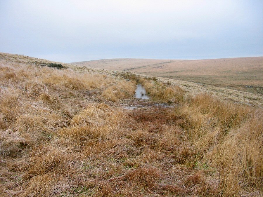
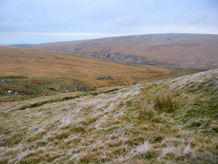
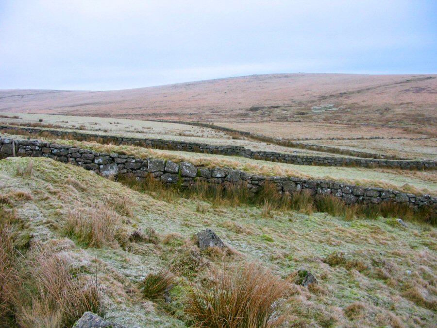
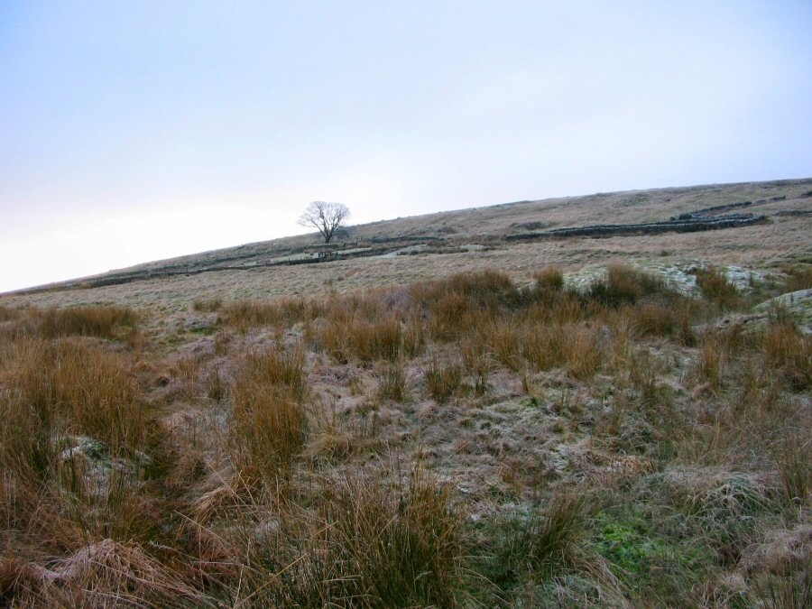
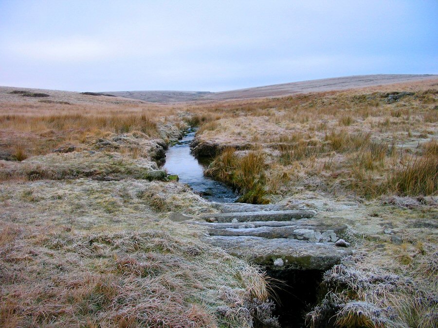
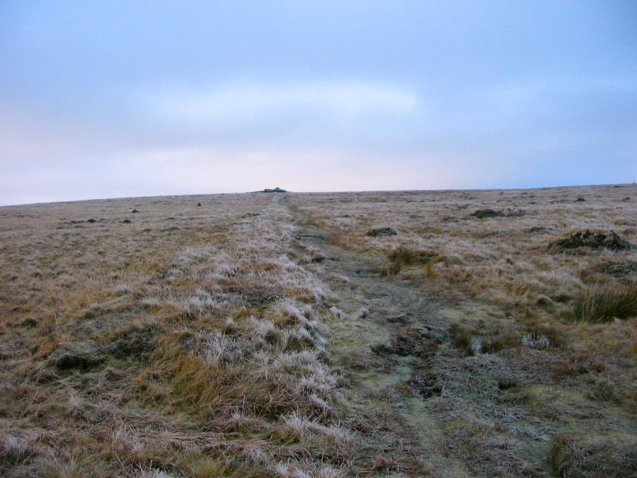
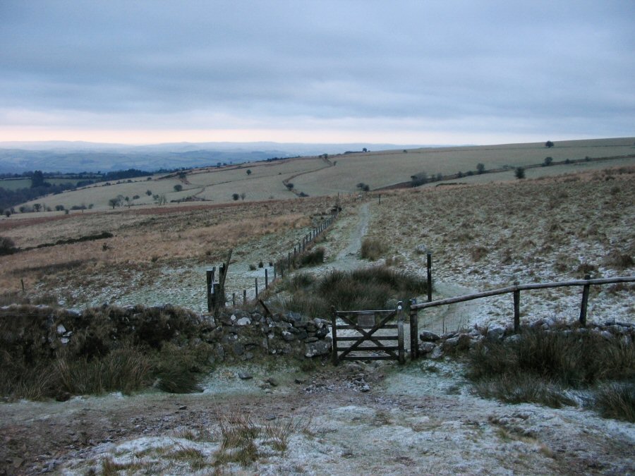
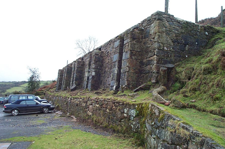
Wintry HuntingdonHuntingdon Warren was set up by Thomas Mitchelmore around 1802. The hill was ideal for creating a rabbit colony. There is also the remains of an farmhouse which was relunctantly relinquished after WW2. Both warren and farmhouse were probably preceded by medieval versions which in their turn were abandoned before the ones we see were established. Going back in time there are a number of Bronze age hut circles and animal pounds scattered over the hillside. At the top of the hill there is an ancient cairn - the Heap of Sinners. So many different peoples have lived on Huntingdon at one time or another. Today it is totally abandoned and only walkers come here.Park at Cross Furzes (SX 700666) and follow the path of the old Abbot's Way (or Jobber's Path) over Lambs Down, Water Oak Corner and past the Avon Reservoir and make for the old Huntingdon's Cross. Then turn right and walk up the Western Wella brook. You go past the remains of a tin mine and then come to a bridge which once crossed takes you to Huntingdon Farm. Take the obvious SW path that leads up the hill and next to the rock pile of the Heap of Sinners. Carry along the path and it slopes down to the steep sided Avon valley and the rocks of Broad Falls. Then find the leat at about 420m that circles the southern side of Huntingdon hill. This takes you back to the farm. Then back over the Western Walla bridge and head NE towards Pupers Hill. Finally take the path back to Water Oak corner, Lambs Down and finally Cross Furzes.A good walk over largely straightforward ground. However, there are some rough bits and poor weather will make your walk uncomfortable. No military ranges nearby. This walk took place in early January when conditions were pretty icy. |
|
All | Little | Shorter | Standard | Longer | Tors | Relics | History | Links | Panoramas | Home | |