All | Little | Shorter | Standard | Longer | Tors | Relics | History | Links | Panoramas | Home
|
||||||||||||||||||||||||||||||||||||||||||||||||||||||||||||||||||||
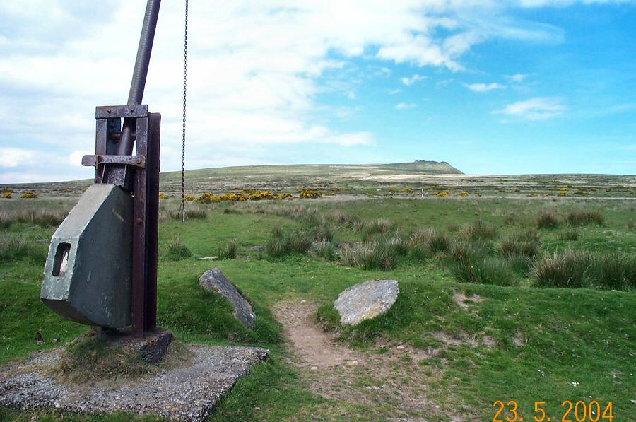
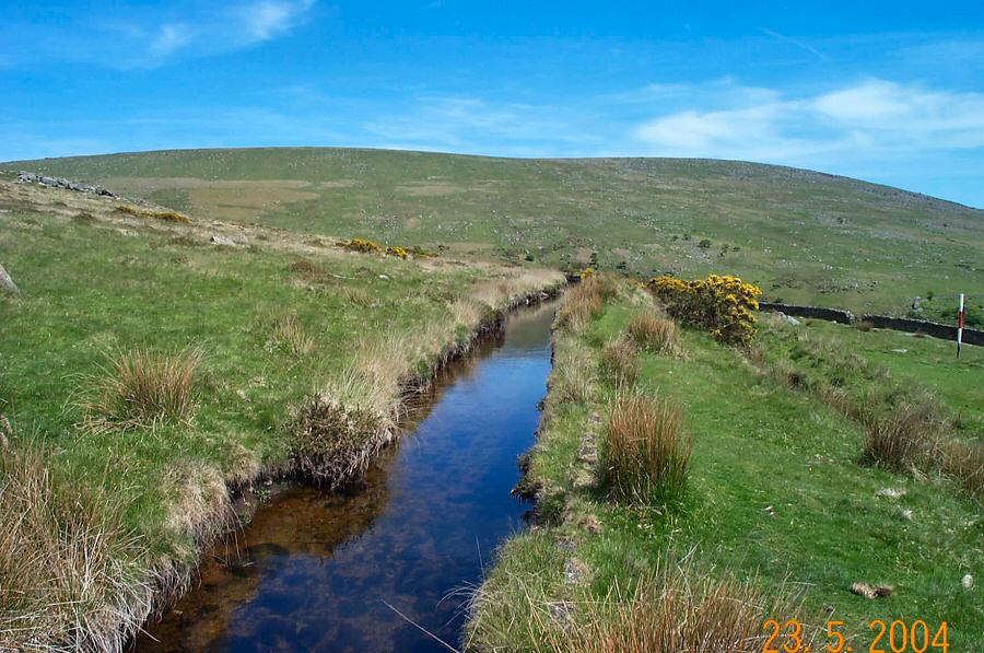
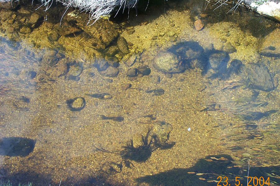
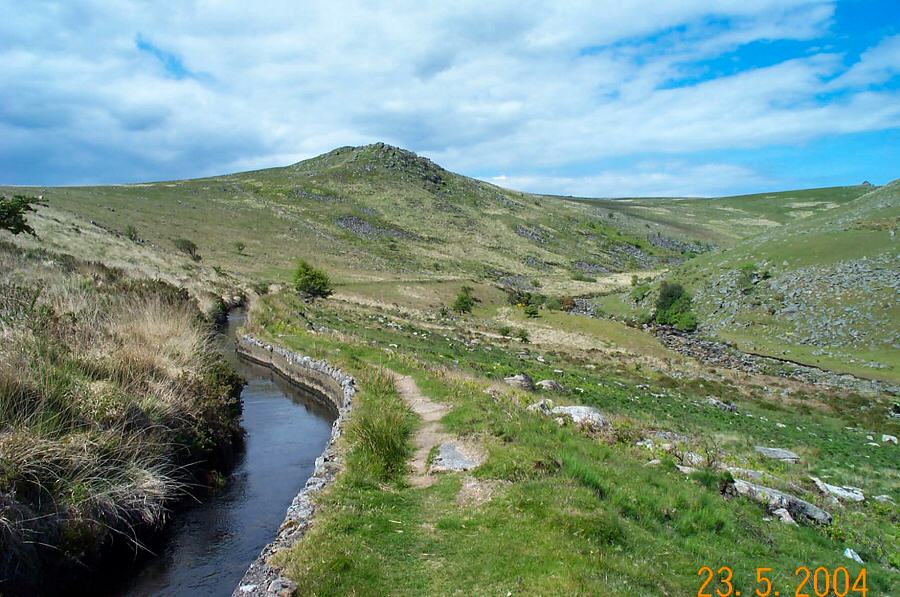
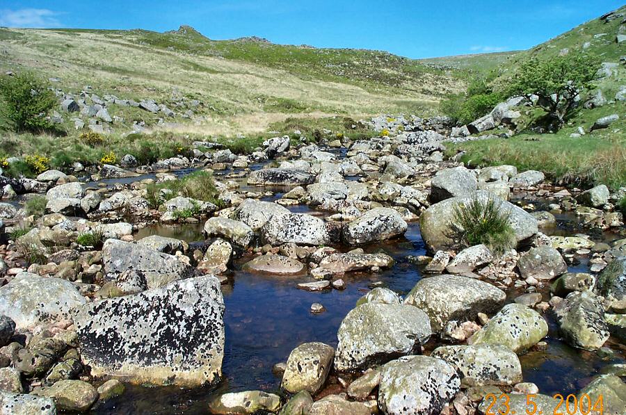
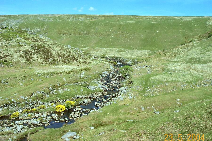
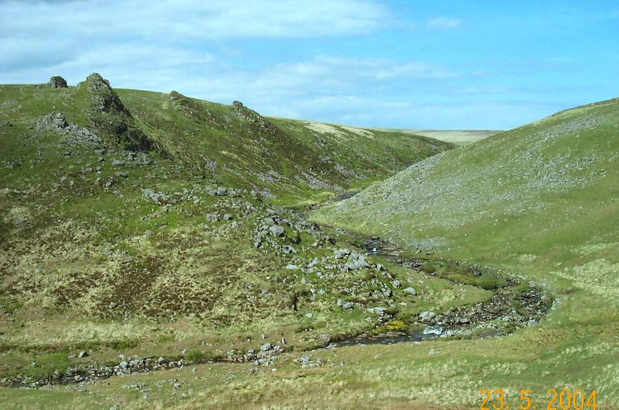
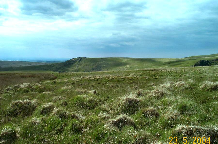
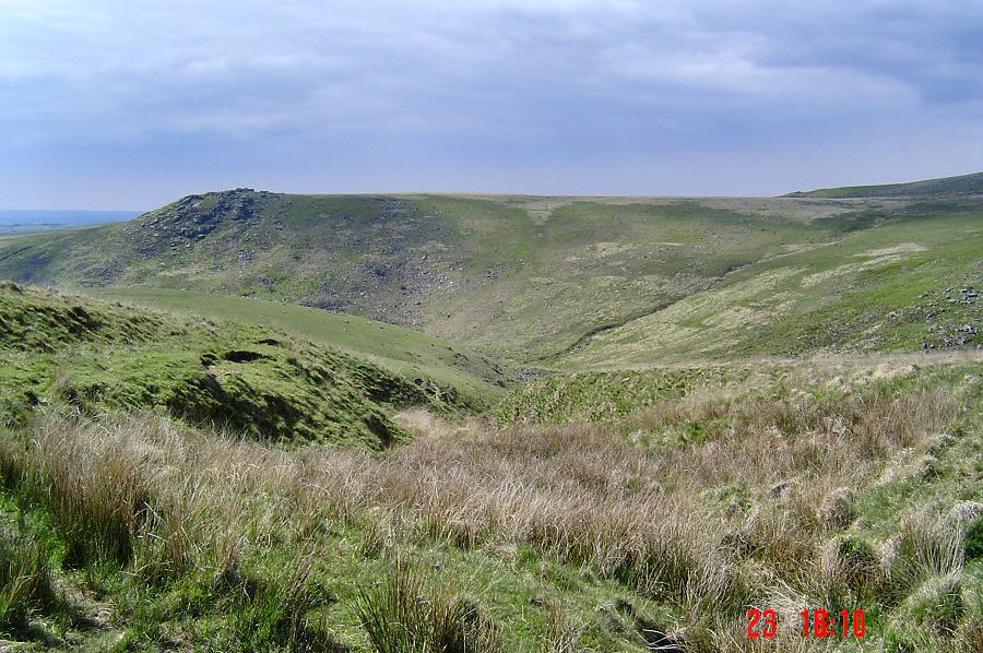
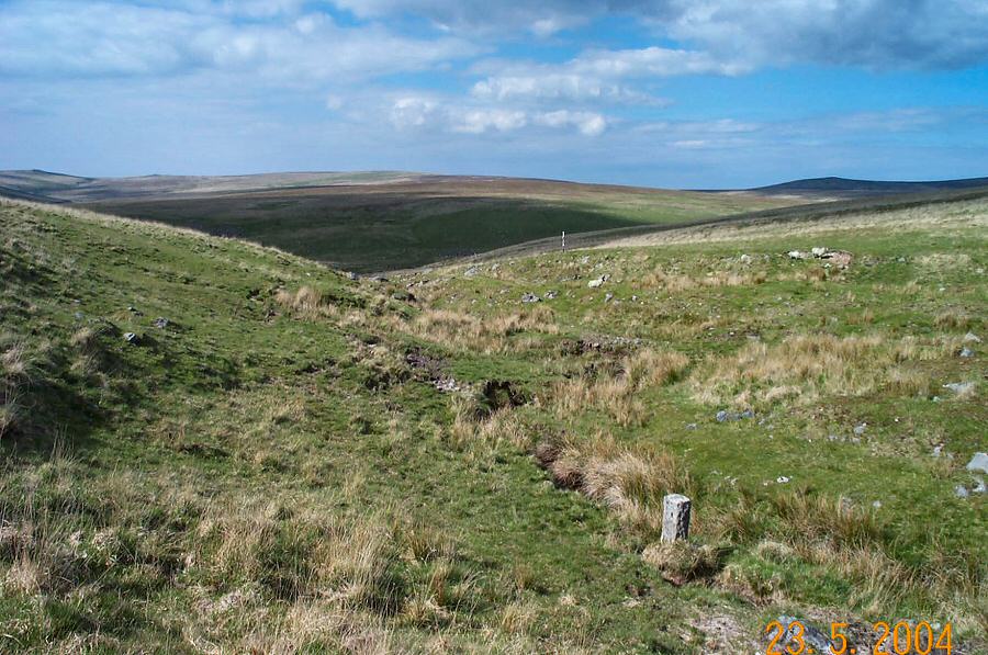
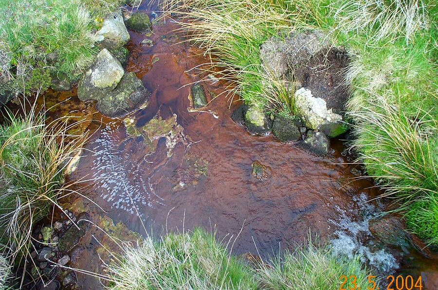
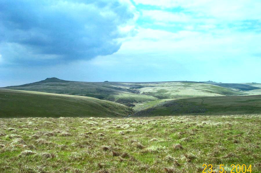
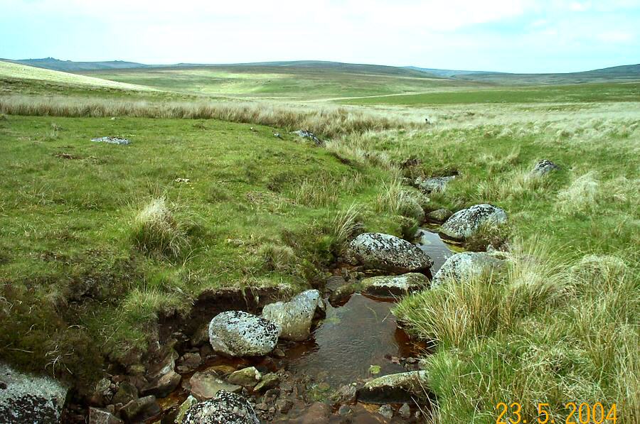
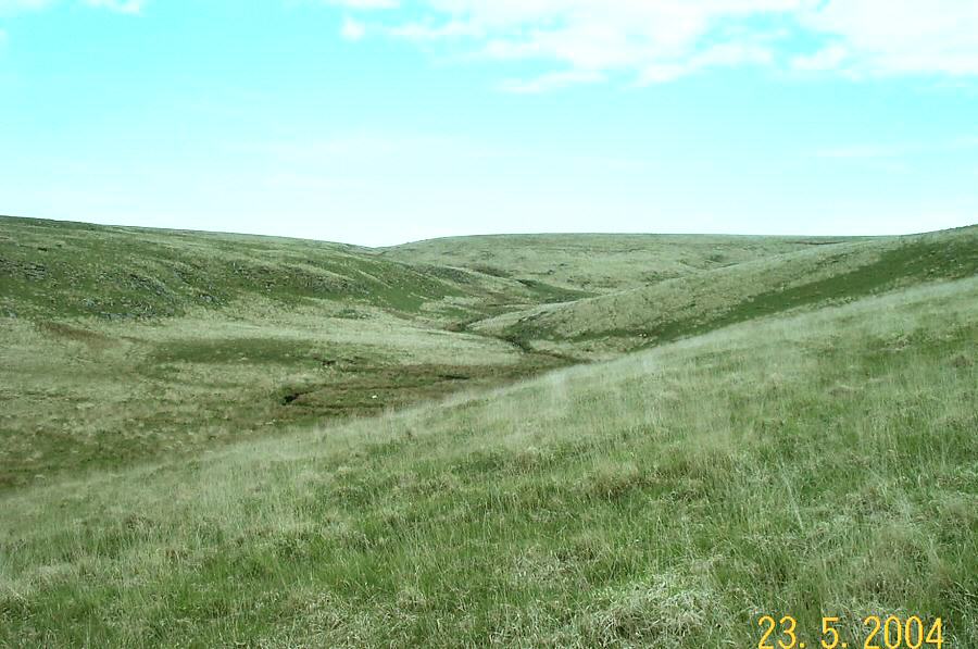
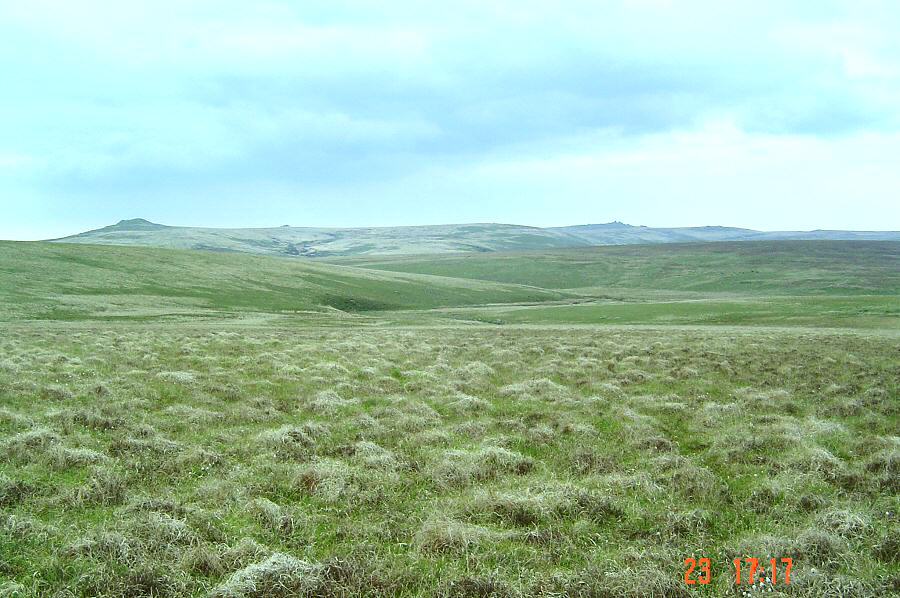
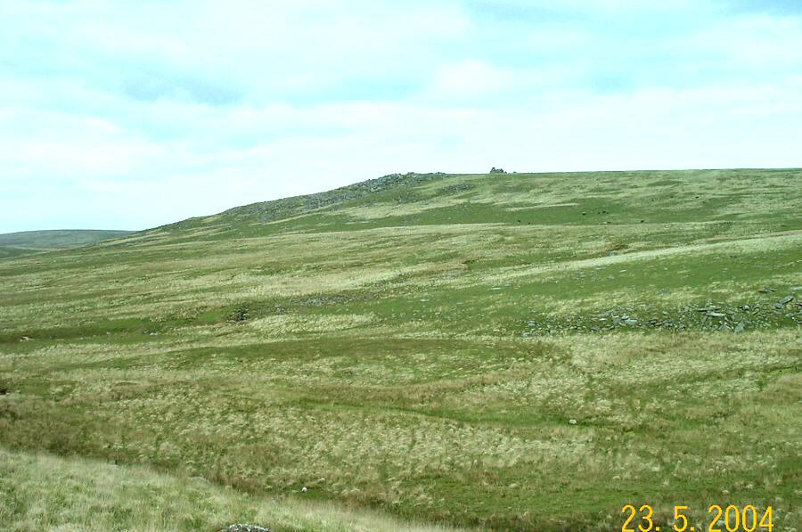
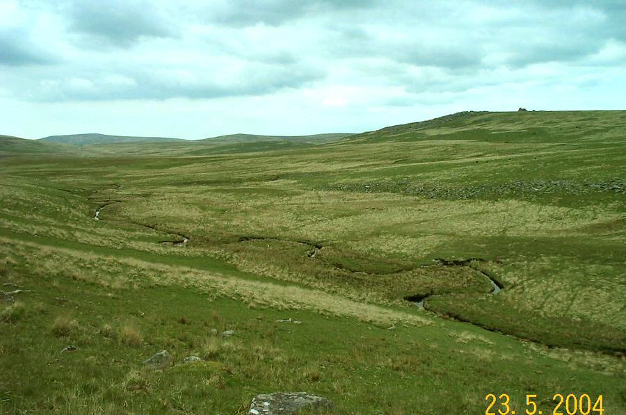
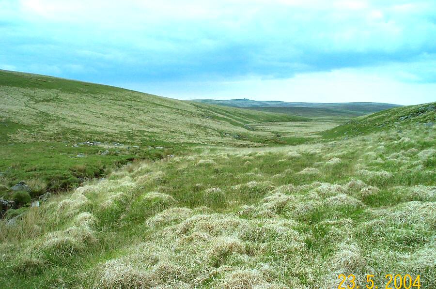
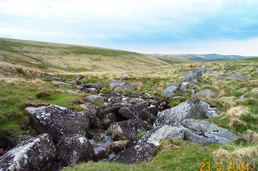
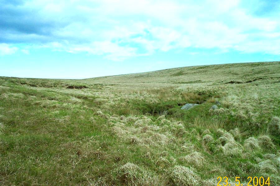
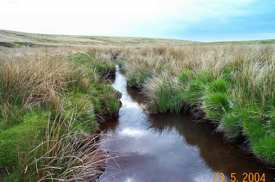
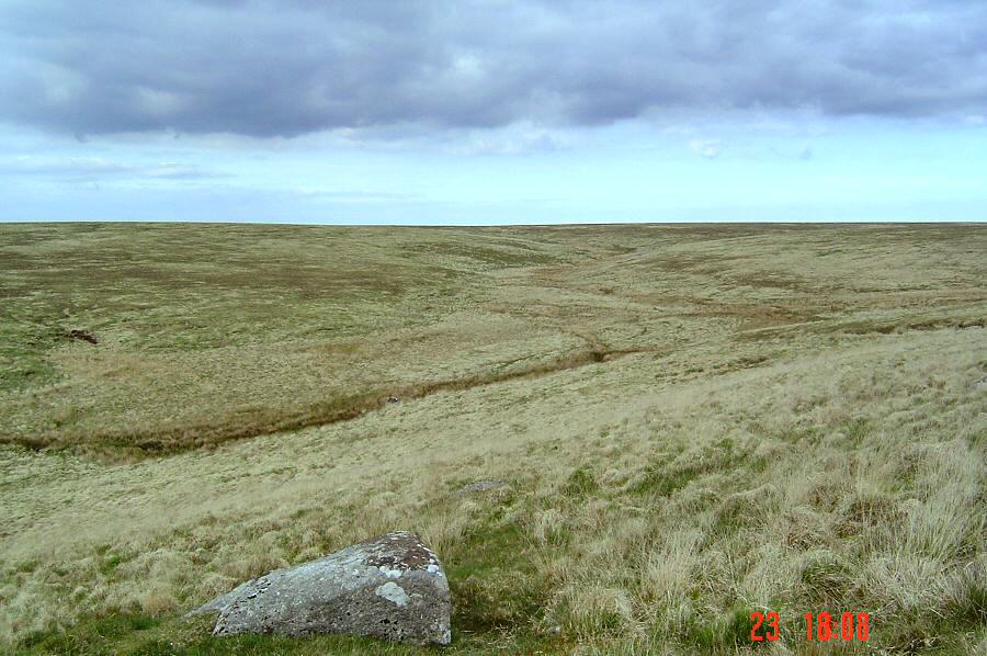
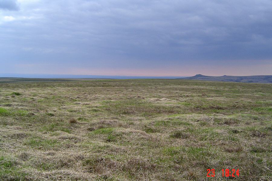
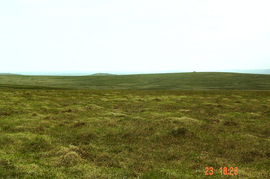
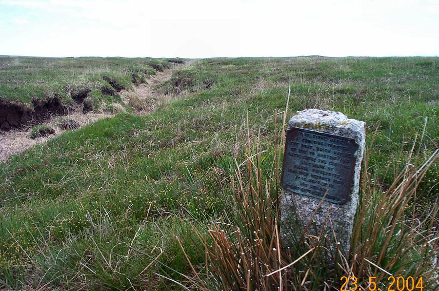
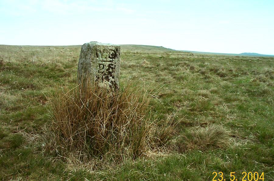
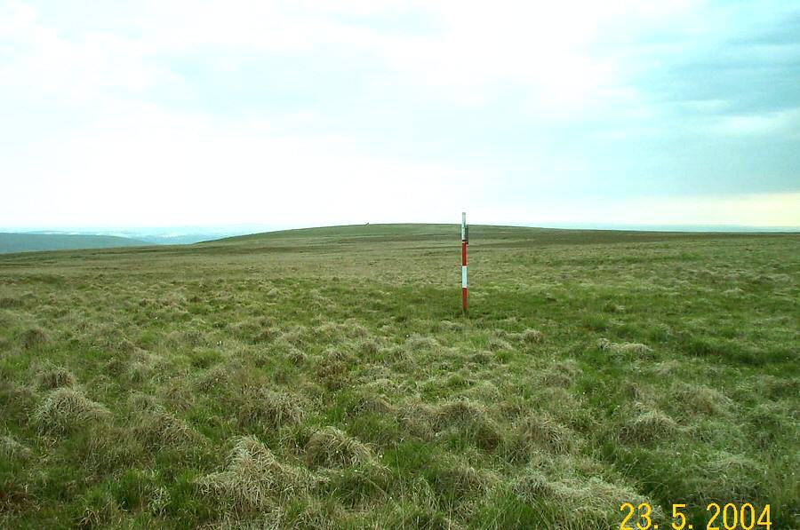
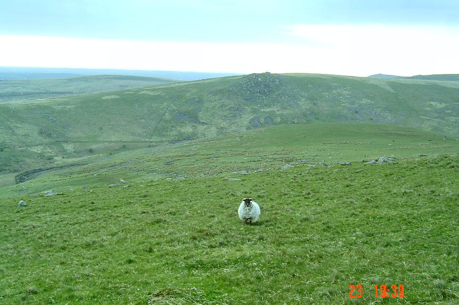
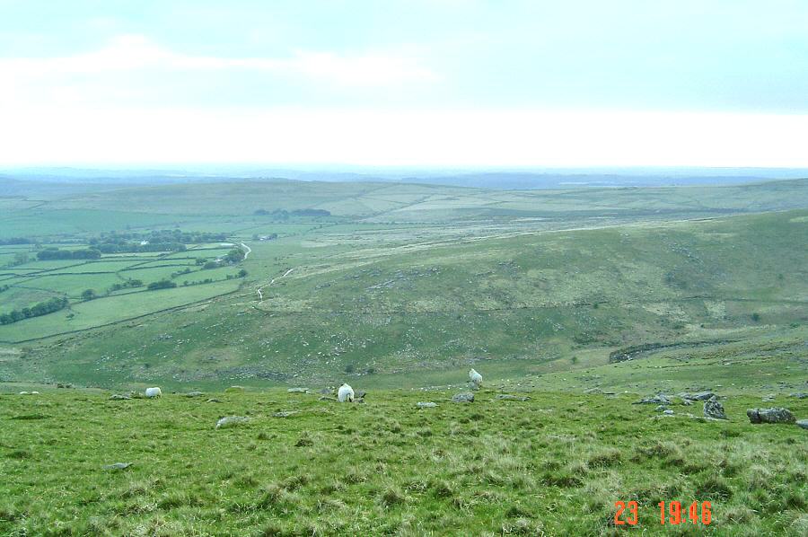
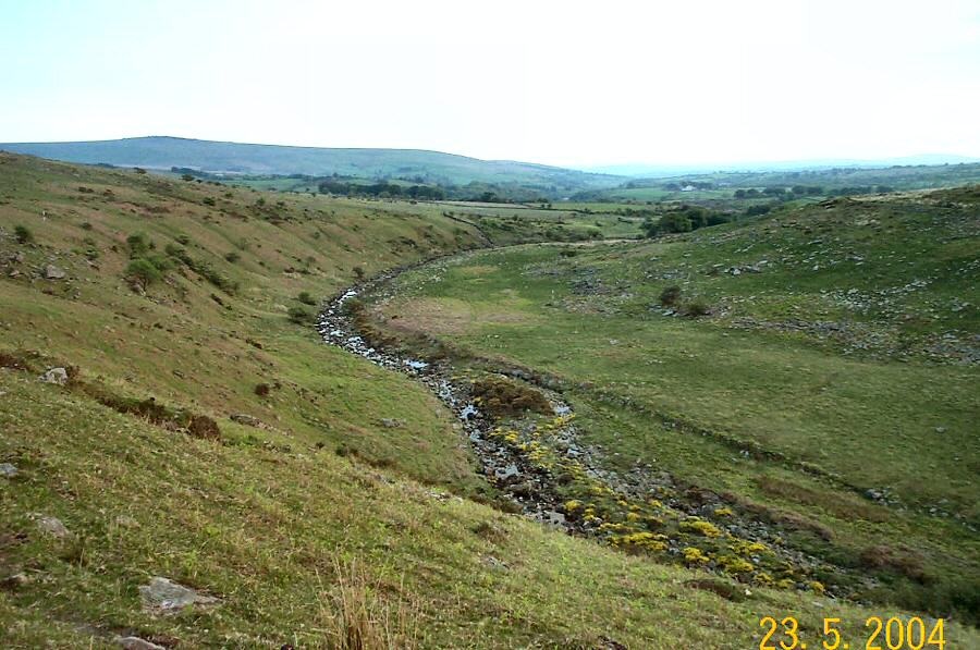
The upper TavyThe upper Tavy is one of the most isolated places on the northern moor - so no surprise that the army favours this area for military training. However, this isolation gives it a special attraction and it is a good place to visit in pleasant weather. Apart from the skylarks singing overhead, you will probably only encounter sheep and cattle on this lonely stretch. Dartmoor river heads are usually bleak places and Tavy head is no exception. If you want a challenge then take this walk in the mist.Park at Lanehead (SX 537824 - north from Mary Tavy). Take the NE path over Nattor Down until you hit the Wheal Friendship leat and then follow it on the right hand side. It loops around Nat Tor and then you'll be at the start of the impressive Tavy valley. Carry on the Wheal Friendship leat path until you get to the leat head. Then cross the Tavy and climb up Standon Hill, traversing Deep Bottom as you go. Walk eastwards, cross over Western Red Lake, walk over the Meads, cross the Eastern Red Lake and up the shallow hill following the military posts as a guide. You'll then see the western side of the Tavy valley which you can walk up in a SE direction. Cross the Tavy near the rocks beside Tavy Hole and carry on up the valley. Once you reach the top of Tavy Hole the streambed levels off and the ground gets a bit tougher. Carry on beside the stream as far as you want to go and then cross over in a S direction. After a short climb you'll arrive at one of the highest plateaux on Dartmoor and in good weather the views are good. Then head back westwards towards Standon Hill passing the edge of Walkham Head as you go. This could be a wet and rough 2 miles. You pass by a peat pass and some army tracks. Once you get to the edge of Standon Hill the views suddenly open out. Walk down the slope to the river, cross it and after a short climb you're back on the leat path which leads back to Lanehead.This is not a walk to take lightly. This 7 mile walk was done in pretty well ideal conditions on a sunny May afternoon, but in misty weather this area would be challenging - largely because of its isolation and exposure. The top of the plateau could be rather wet and awkward to walk across. Crossing the rivers was easy, but at other times this may not be so. There are lots of army posts to guide you along - especially around Standon Hill.Most of the walk is located within any one of the Willsworthy, Merrivale and Okehampton army ranges - so watch out for those flags.
|
||||||||||||||||||||||||||||||||||||||||||||||||||||||||||||||||||||
All | Little | Shorter | Standard | Longer | Tors | Relics | History | Links | Panoramas | Home | ||||||||||||||||||||||||||||||||||||||||||||||||||||||||||||||||||||